 Block
Cowling, Illinois
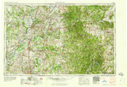
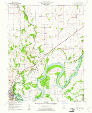
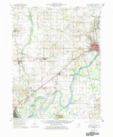
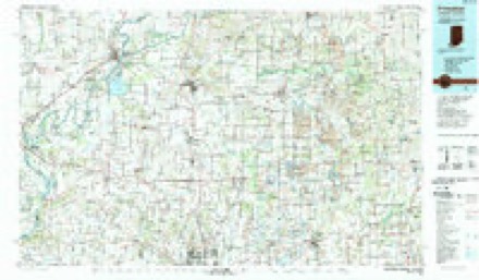
19 topographic sheets cover this place, the earliest surveyed in 1903 and the latest in 1986. It stands in Compton precinct. It lies in ZIP code area 62863. The Survey maps it on the Grayville quadrangle. It stands 394 feet above sea level.
Topographic sheets covering this place
8 surveys from 19 printed sheetsMatched by testing this settlement's coordinate against the published boundary of every sheet in the United States Geological Survey's historical collection. Each opens the scanned sheet at the Survey.
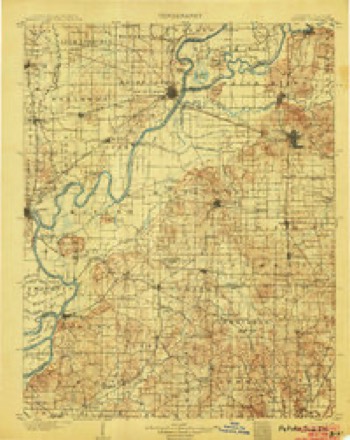
- 1903 USGS Patoka quadrangle1:125000, 2 printings
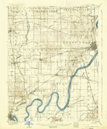
- 1904 USGS Mount Carmel quadrangle1:62500, 3 printings
- 1956 USGS Vincennes quadrangle1:250000, 4 printings
- 1957 USGS Vincennes quadrangle1:250000
- 1958 USGS Vincennes quadrangle1:250000, 2 printings
- 1959 USGS Grayville quadrangle1:24000, 3 printings
- 1959 USGS Mount Carmel quadrangle1:62500, 2 printings
- 1986 USGS Princeton quadrangle1:100000, 2 printings
Mines and quarries near this place
2 within 5 milesRegional context, not property-specific evidence. The federal mineral resources record lists 2 workings within 5 miles of Cowling: 2 past producers. None of them still produces. What was taken out: Sand and Gravel, Construction. Distance is straight-line from the map coordinates, so a quarry counted here may appear on a neighbouring settlement's page as well.
| Where | Site | Commodity | Status | Recorded |
|---|---|---|---|---|
| Albion Dredge and Mill | Sand and Gravel, Construction | Past Producer | ||
| Keensburg Sand Pit | Sand and Gravel, Construction | Past Producer |
Storms near this place
9 since 2003Regional context, not property-specific evidence. The National Weather Service names Cowling in 9 storm reports between 2003 and 2024: 4 flood, 3 hail, 1 thunderstorm wind, 1 tornado. No death or injury is recorded in these reports. Each account below is quoted exactly as the forecast office filed it, from the NOAA Storm Events Database, and each date opens the federal record of that event.
| When | Event | Place named | Harm | What the report says |
|---|---|---|---|---|
| June 2019 | Flood | Cowling | $30,000 | The Wabash River crested at Mount Carmel at 27.26 feet on the 26th. This resulted in moderate flooding. Flood stage is 19 feet. There was considerable inundation of low-lying woodlands and fields. Around Mount Carmel, most roads outside the floodwall along the river were impassable. Cattle and farm equipment were moved to higher ground. Some mobile homes had to be moved, and the city of Mount Carmel had to install flood gates. This flood impact was very similar to the flood in February. |
| October 2020 | Thunderstorm Wind | Cowling | $3,000 | Trees were down across Illinois Route 1. The state department of transportation was called to remove them. |
| January 2017 | Flood | Cowling | $3,000 | Minor flooding occurred along the Wabash River. Several local river roads were flooded. A few of those local river roads were closed by high water. All oil field production ceased with the exception of pumping units on substructures. Access to these was by boat only. Agricultural losses were minimal because the flooding occurred outside the main growing season. Farmers moved livestock to higher ground. Many river cabins became inaccessible. Additional low cropland downstream of Mount Carmel began to flood. Backwater from the Wabash River affected gage readings on Bon Pas Creek near Browns. |
| May 2024 | Tornado (EF0) | Cowling | $1,000 | An EF-1 tornado (peak of EF-0 in Wabash County), which began in far northeastern White County south of Grayville, crossed into Wabash County from the Kingdom Island portion of Gibson County. The tornado produced minor tree damage before crossing the Wabash River into Gibson County, IN. Peak estimated winds with this short Wabash County segment were 75 mph. |
| May 2016 | Hail | Cowling | - | Golf-ball size hail was reported along the White County line, about a mile east of Grayville. |
| July 2019 | Flood | Cowling | - | no account filed |
| February 2019 | Flood | Cowling | - | no account filed |
| May 2003 | Hail | Cowling | - | no account filed |
| May 2003 | Hail | Cowling | - | no account filed |
Nearest settlements
The eight closest, with where each one stands in the county. Distances are straight-line, computed from the Geographic Names Information System coordinates.
| Map | Place | Distance | Sheets |
|---|---|---|---|
| Logansburgh (historical) | 3.1 miles | 19 | |
| Keensburg | 4.6 miles | 19 | |
| Bellmont | 5.3 miles | 18 | |
| Rochester | 6.3 miles | 19 | |
| New Hope (historical) | 7.3 miles | 18 | |
| Maud | 7.4 miles | 20 | |
| Schrodts Station | 7.8 miles | 20 | |
| Gards Point | 11.3 miles | 18 |
Elsewhere
Matched on this settlement's Geographic Names Information System number rather than its name, so it cannot be a different place of the same name in another state.
| Wikipedia article on Cowling | An encyclopaedic summary. Its text is share-alike, so it is linked here rather than copied. |
| Wikidata item Q5179766 | The structured record the population and elevation above come from. Public domain (CC0). |
Provenance
This settlement is recorded in the Geographic Names Information System as feature 406684. The sheet list is computed by point-in-boundary test against the United States Geological Survey's historical topographic inventory. Both are works of the United States government and carry no copyright under 17 U.S.C. 105.
Mines and quarries. USGS Mineral Resources Data System (MRDS) https://mrdata.usgs.gov/mrds/ A work of the United States government, no copyright under 17 U.S.C. 105.
Storms. NOAA National Centers for Environmental Information, Storm Events Database https://www.ncei.noaa.gov/stormevents/ A work of the United States government, no copyright under 17 U.S.C. 105. Narratives are quoted verbatim from the National Weather Service report and are not edited or summarised.