 Block
Cuba, Illinois
19 topographic sheets cover this place, the earliest surveyed in 1923 and the latest in 1993. It stands in Cuba Township. It lies in ZIP code area 60010. The Survey maps it on the Barrington quadrangle. 17,292 people lived here at the 2020 count. It stands 764 feet above sea level.
On record in Cuba
Buildings and businesses the archive holds for this place. Each opens its own page, with the source record it came from.
On the National Register within a mile 1 record
The National Register names another town for these. They stand within one mile of this settlement's coordinate.
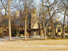 Grigsby Estatelisted 1987 · 1.0 miles away
Population over time
2 figuresCuba grew from 16,826 to 17,292 between 2010 and 2020. These are the recorded population figures Wikidata holds for this place, reached through the Geographic Names Information System number this page is keyed on rather than by name, so they belong to this place and not to another of the same name. Most are census counts, but not all are: an early figure may be a founding or settlement estimate, and an estimate published within five years of a census is left out. The change column is computed, and is left blank where more than 20 years separate a figure from the one before it, because a gap that long is not a change between two counts.
| Year | People | Change |
|---|---|---|
| 2010 | 16,826 | |
| 2020 | 17,292 | +466 (+3%) |
Topographic sheets covering this place
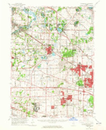
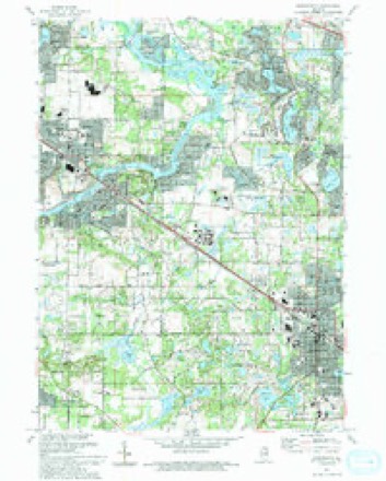
10 surveys from 19 printed sheetsMatched by testing this settlement's coordinate against the published boundary of every sheet in the United States Geological Survey's historical collection. Each opens the scanned sheet at the Survey.
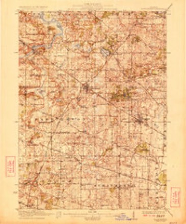
- 1923 USGS Barrington quadrangle1:62500, 4 printings
- 1935 USGS Barrington quadrangle1:62500
- 1954 USGS Rockford quadrangle1:250000
- 1955 USGS Rockford quadrangle1:250000
- 1958 USGS Rockford quadrangle1:250000, 4 printings
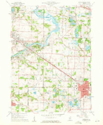
- 1960 USGS Barrington quadrangle1:24000, 4 printings
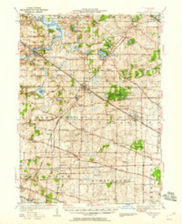
- 1961 USGS Barrington quadrangle1:62500
- 1963 USGS Rockford quadrangle1:250000
- 1981 USGS Elgin quadrangle1:100000
- 1993 USGS Barrington quadrangle1:24000





In the county-history sources
2,019 words on this townshipThe Past and Present of Lake County, Illinois, published 1877 names this settlement in its chapter on Cuba Township. These are the passages that mention it, exactly as the scans read.
As a Congressional Township, it is numbered Township 43, North Range 4 East. The early settlers of this town were Olcott A. White, Joshua A. Harndon, John Aylesworth, V. H. Freeman, Amos Flint, L. H. Bute, Robert Conmee, Robert Bennet, Jared Comstock and Freeman Martin. Amos Flint was the first settler, and built the first house in what is now the town of Cuba, in the latter part of the year 1834, as is said. It was on Section 10, on Flint Creek, which takes its name from him, as before stated, near where the stream empties into Fox River. The route of travel for the army and those connected with the military and Indian service, from Chicago to Fort Winnebago in Wisconsin, in early days, about 1831, passed through or near the southwest portion of this town, crossing Fox River above what is now Algon¬ quin, and near what was afterward Denney's Ferry.
Passage source: The Past and Present of Lake County, Illinois, published 1877.
The points mentioned, and circumstances detailed in this narrative, tend to show that the route between Chicago and Fort Winnebago, at that day, must have passed over, or at least near the southwestern part of wnat is now the town of Cuba. This conclusion is reached from the fact that the point of cross¬ ing Fox River would, as a natural consequence, be in or somewhere near the line between Dunkley's Grove and Crystal Lake. The circumstance mentioned of the west bank of the river being clear of timber, while the east bank was wooded - the party having to return to the east side to obtain a suitable stick for a wagon pole - shows that the place of crossing the river must have been at a point above the present site of the village of Algonquin. Indicating the route traveled to be as before mentioned, the point of crossing the river may be further identified from the asteep bank on the east side mentioned in the nar¬ rative.
Passage source: The Past and Present of Lake County, Illinois, published 1877.
The original name given to this town by the Commissioners having in charge the matter of dividing the county into towns was Troy ; but on report to the State Auditor, it being found that there was another town in the State of that name - the law not allowing two towns in the State of the same name - the Board of Supervisors of the county were requested to give the town some other name. At their meeting, in 1851, the Board gave to the town the name of Cuba.
Passage source: The Past and Present of Lake County, Illinois, published 1877.
Machine-read from a century-old scan, so expect the errors a machine makes: misspelled names, dropped words, stray characters.
Read the whole chapter on Cuba Township - it names this place 2 more 2 times.
Fires near this place
1 since 2009Regional context, not property-specific evidence. The federal wildfire occurrence database lists 1 fire within 5 miles of Cuba in 2009, burning about 3 acres in total. None started naturally. None was recorded as arson. Distance is straight-line from the map coordinates, so a fire counted here may appear on a neighbouring settlement's page as well.
| Reported cause | Fires |
|---|---|
| Missing data/not specified/undetermined | 1 |
The most recent of them, most recent first, with the day each was reported and the service that recorded it.
| Date | Cause | Size | Reported by | Name on the report |
|---|---|---|---|---|
| 17 February 2009 | Missing data/not specified/undetermined | 3.0 acres | Illinois Division of Forestry Resources | D |
Settlements close enough to share some of these fires:
Mines and quarries near this place
6 within 5 milesRegional context, not property-specific evidence. The federal mineral resources record lists 6 workings within 5 miles of Cuba: 4 producers, 2 past producers. 4 still produce. What was taken out: Sand and Gravel, Construction. Distance is straight-line from the map coordinates, so a quarry counted here may appear on a neighbouring settlement's page as well.
| Where | Site | Commodity | Status | Recorded |
|---|---|---|---|---|
| Algonquin Plant | Sand and Gravel, Construction | Past Producer | ||
| Algonquin Sand & Gravel | Sand and Gravel, Construction | Producer | ||
| Carpentersville Pit #25 | Sand and Gravel, Construction | Producer | ||
| Cary Plant & Portable Mill | Sand and Gravel, Construction | Past Producer | ||
| Dundee North Road Mat'Ls Corp | Sand and Gravel, Construction | Producer | ||
| Dundee Pit Meyer Material | Sand and Gravel, Construction | Producer |
Nearest settlements
The eight closest, with where each one stands in the county. Distances are straight-line, computed from the Geographic Names Information System coordinates.
| Map | Place | Distance | Sheets |
|---|---|---|---|
| Lake Barrington | 2.8 miles | 19 | |
| North Barrington | 3.1 miles | 19 | |
| Tower Lake | 3.9 miles | 19 | |
| Knollwood | 4.1 miles | 21 | |
| Lake Zurich Heights | 4.2 miles | 21 | |
| Forest Green Lake Estates | 4.2 miles | 21 | |
| Lake Zurich Manor | 4.2 miles | 21 | |
| The Orchards | 4.3 miles | 21 |
Elsewhere
Matched on this settlement's Geographic Names Information System number rather than its name, so it cannot be a different place of the same name in another state.
| Wikipedia article on Cuba | An encyclopaedic summary. Its text is share-alike, so it is linked here rather than copied. |
| Wikidata item Q8004045 | The structured record the population and elevation above come from. Public domain (CC0). |
Provenance
This settlement is recorded in the Geographic Names Information System as feature 422594. The sheet list is computed by point-in-boundary test against the United States Geological Survey's historical topographic inventory. Both are works of the United States government and carry no copyright under 17 U.S.C. 105.
Wildfire. Short, Karen C. 2022. Spatial wildfire occurrence data for the United States, 1992-2020 [FPA_FOD_20221014]. 6th Edition. Fort Collins, CO: Forest Service Research Data Archive. https://doi.org/10.2737/RDS-2013-0009.6 Collected with United States Government funding and usable without additional permissions or fees.
Mines and quarries. USGS Mineral Resources Data System (MRDS) https://mrdata.usgs.gov/mrds/ A work of the United States government, no copyright under 17 U.S.C. 105.