 Block
Dahinda, Illinois
16 topographic sheets cover this place, the earliest surveyed in 1941 and the latest in 1990. It stands in Persifer Township. It lies in ZIP code area 61428. It stands on Sugar Creek. The Survey maps it on the Williamsfield quadrangle. It stands 584 feet above sea level.
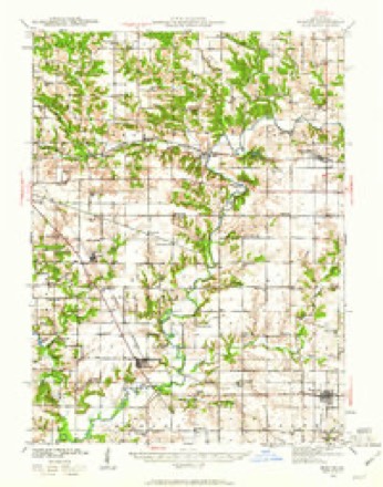
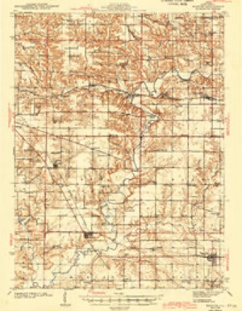
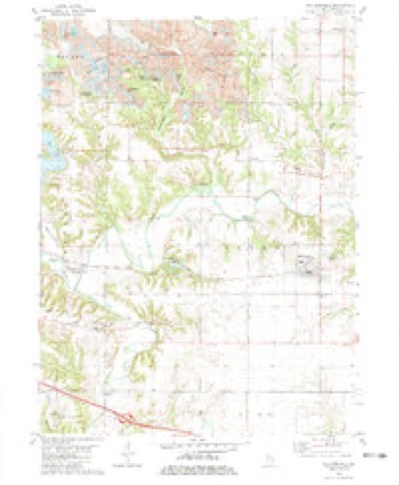
Topographic sheets covering this place
9 surveys from 16 printed sheetsMatched by testing this settlement's coordinate against the published boundary of every sheet in the United States Geological Survey's historical collection. Each opens the scanned sheet at the Survey.
- 1941 USGS Maquon quadrangle1:62500, 2 printings
- 1943 USGS Maquon quadrangle1:62500, 2 printings
- 1958 USGS Burlington quadrangle1:250000, 4 printings
- 1961 USGS Burlington quadrangle1:250000
- 1963 USGS Burlington quadrangle1:250000
- 1982 USGS Williamsfield quadrangle1:24000
- 1985 USGS Galesburg quadrangle1:100000, 2 printings
- 1989 USGS Galesburg quadrangle1:100000
- 1990 USGS Burlington quadrangle1:250000, 2 printings




In the county-history sources
12,484 words on this townshipPortrait and Biographical Album of Knox County, Illinois, published 1886; Annals of Knox County : Commemorating Centennial of Admission of Illinois As a State of the Union in 1818, published 1921 names this settlement in its chapter on Persifer Township. These are the passages that mention it, exactly as the scans read.
The township has in it one little village, which is located on the line of the railroad, on the southwest corner cf section i6 and the southeast corner of section 17. It was laid off by William Robinson, Deputy Surveyor of the county, in 187 i, and was named Coburg, after the Coe brothers. Soon after it was platted, there was a public sale of lots. Messrs. Schroder & Owens bought one lot on the southeast corner of section 17, for S125, upon which they erected a building for a store, which was the first opened in town. A post-office was established here in 1 87 I and was called North Prairie. Nelson Coe was the first Postmaster. It was subsequently changed lo Rio, which name the village has since borne. It contains a church, school-house and one store. There are a number of wealthy and prominent gentlemen who live in the vicinity, and thus is it a great convenience to them to have a i»st-office and railway station so near.
Passage source: Portrait and Biographical Album of Knox County, Illinois, published 1886.
The first public conveyance and one which also carried the mail was the stage-coach. Just when the stage began running through Persifer we do not know, but it seems to have been running in 1837, according to Mr. David Russell, who came to the township that year and was 15 years of age. The first route of the stage was from Trenton west nearly to the R. C. Benson farm, then in a southwesterly direction to the Miles farm, thence nearly on a straight line to Knoxville, passing the G. W. Manley farm, (now owned by Geo. W. Haner), where was a fine spring where people stopped to water. This route missed all the hills between Spoon River and Knoxville. The state road through Trenton and Knoxville was laid out in 1838. T. D. Butt, Caleb Reece and John Coleman were the commissioners.
Passage source: Annals of Knox County : Commemorating Centennial of Admission of Illinois As a State of the Union in 1818, published 1921.
The first school of which we know was taught by Mary Ann Long in 1839. The school was held in a cabin which stood in the hollow just north of the present Maple Grove School house, District No. 91. This school was not a public school, but was supported by subscription. Mr. C. N. Butt, now living in Knoxville, was a pupil of that school.
Passage source: Annals of Knox County : Commemorating Centennial of Admission of Illinois As a State of the Union in 1818, published 1921.
Machine-read from a century-old scan, so expect the errors a machine makes: misspelled names, dropped words, stray characters.
Read the whole chapter on Persifer Township - it names this place 1 more 1 time.
Storms near this place
10 since 1996Regional context, not property-specific evidence. The National Weather Service names Dahinda in 10 storm reports between 1996 and 2024: 5 hail, 4 thunderstorm wind, 1 tornado. No death or injury is recorded in these reports. Each account below is quoted exactly as the forecast office filed it, from the NOAA Storm Events Database, and each date opens the federal record of that event.
| When | Event | Place named | Harm | What the report says |
|---|---|---|---|---|
| May 2011 | Thunderstorm Wind | Dahinda | $1,000 | An 8-inch diameter tree was blown down onto U.S. 150 about 1/4 mile east of the Spoon River. |
| August 2024 | Thunderstorm Wind | Dahinda | - | Several tree tops were broken off. |
| June 2024 | Thunderstorm Wind | Dahinda | - | Two large trees were blown down, causing damage to a home. |
| May 2019 | Tornado (EF0) | Dahinda | - | A tornado briefly touched down in an open field 1.1 miles south of Dahinda at 3:15 PM CDT. No damage was reported. |
| April 2014 | Hail | Dahinda | - | no account filed |
| March 2006 | Hail | Dahinda | - | no account filed |
| April 2006 | Hail | Dahinda | - | no account filed |
| May 2004 | Hail | Dahinda | - | no account filed |
| May 1998 | Hail | Dahinda | - | no account filed |
| June 1996 | Thunderstorm Wind | Dahinda | - | no account filed |
Nearest settlements
The eight closest, with where each one stands in the county. Distances are straight-line, computed from the Geographic Names Information System coordinates.
| Map | Place | Distance | Sheets |
|---|---|---|---|
| Trenton Corners | 1.2 miles | 16 | |
| Appleton | 2.9 miles | 17 | |
| Oak Run | 3.3 miles | 17 | |
| Truro | 4.2 miles | 16 | |
| Williamsfield | 5.0 miles | 16 | |
| Eugene | 5.6 miles | 16 | |
| Gilson | 6.6 miles | 16 | |
| Elba Center | 6.6 miles | 16 |
Elsewhere
Matched on this settlement's Geographic Names Information System number rather than its name, so it cannot be a different place of the same name in another state.
| Wikipedia article on Dahinda | An encyclopaedic summary. Its text is share-alike, so it is linked here rather than copied. |
| Wikidata item Q5208817 | The structured record the population and elevation above come from. Public domain (CC0). |
Provenance
This settlement is recorded in the Geographic Names Information System as feature 406924. The sheet list is computed by point-in-boundary test against the United States Geological Survey's historical topographic inventory. Both are works of the United States government and carry no copyright under 17 U.S.C. 105.
Storms. NOAA National Centers for Environmental Information, Storm Events Database https://www.ncei.noaa.gov/stormevents/ A work of the United States government, no copyright under 17 U.S.C. 105. Narratives are quoted verbatim from the National Weather Service report and are not edited or summarised.