 Block
Gilson, Illinois
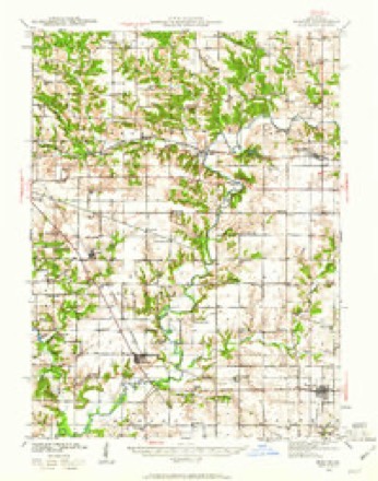
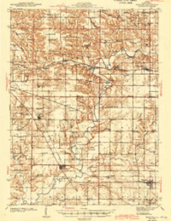
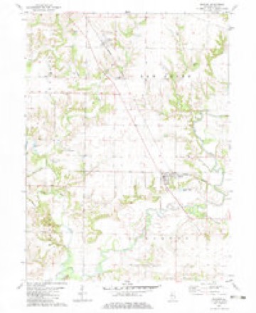
16 topographic sheets cover this place, the earliest surveyed in 1941 and the latest in 1990. It stands in Haw Creek Township. It lies in ZIP code area 61436. It stands on Little Haw Creek. The Survey maps it on the Maquon quadrangle. 156 people lived here at the 2020 count. It stands 679 feet above sea level.
Population over time
2 figuresGilson fell from 190 to 156 between 2010 and 2020. These are the recorded population figures Wikidata holds for this place, reached through the Geographic Names Information System number this page is keyed on rather than by name, so they belong to this place and not to another of the same name. Most are census counts, but not all are: an early figure may be a founding or settlement estimate, and an estimate published within five years of a census is left out. The change column is computed, and is left blank where more than 20 years separate a figure from the one before it, because a gap that long is not a change between two counts.
| Year | People | Change |
|---|---|---|
| 2010 | 190 | |
| 2020 | 156 | -34 (-18%) |
Topographic sheets covering this place
9 surveys from 16 printed sheetsMatched by testing this settlement's coordinate against the published boundary of every sheet in the United States Geological Survey's historical collection. Each opens the scanned sheet at the Survey.
- 1941 USGS Maquon quadrangle1:62500, 2 printings
- 1943 USGS Maquon quadrangle1:62500, 2 printings
- 1958 USGS Burlington quadrangle1:250000, 4 printings
- 1961 USGS Burlington quadrangle1:250000
- 1963 USGS Burlington quadrangle1:250000
- 1982 USGS Maquon quadrangle1:24000
- 1985 USGS Galesburg quadrangle1:100000, 2 printings
- 1989 USGS Galesburg quadrangle1:100000
- 1990 USGS Burlington quadrangle1:250000, 2 printings




In the county-history sources
2,185 words on this townshipAnnals of Knox County : Commemorating Centennial of Admission of Illinois As a State of the Union in 1818, published 1921 names this settlement in its chapter on Haw Creek Township. These are the passages that mention it, exactly as the scans read.
After having served two terms of enlistment in the War of the Rebellion in Ohio organizations, and after having been discharged from said service in June, 1865, came to Illinois in October, same year, and located in Haw Creek Township, Entering school in Hedding College, Abingdon, Illinois, the winter term of 1865, remained in same school (excepting vacations) until the late fall of 1866, when he began District school teaching and continued in that Profession until the ending of the school year, 1878, embarking in the Mercantile business in Gilson, 111,, March 1878 ; ran a general merchandise business for over forty years.
Passage source: Annals of Knox County : Commemorating Centennial of Admission of Illinois As a State of the Union in 1818, published 1921.
In order to obtain anything like an accurate knowledge of Haw Creek's early histoiy the writer will have to glean his knowledge from various sources. He will in some instances have to refer to a former history written in 1899 by C. W. McKown, of Gilson, (now deceased).
Passage source: Annals of Knox County : Commemorating Centennial of Admission of Illinois As a State of the Union in 1818, published 1921.
After the settlement of Haw Creek there were no Churches but services were held in the homes of the fanners. The Rev. Peter Cartright, Richard Haney (Uncle Dick) and William Clarke officiated at the services held in the farm houses. The first denomination in the field was the Methodist Episcopal, afterwards followed by the United Brethren in Christ. After the erection of school houses the religious services were held in them. The first regular church built in Haw Creek was Clark's Chapel, Section 17, built in 1864, since discontinued. There are at present three churches in the township, the Methodist in Gilson, built in 1865 ; the Gilson United Brethren, built in 1866. The value of each church when built was not over $1,200, but now $2,500 would not replace them and their furnishings. The other church referred to is a United Brethren located in Section 3, known as Union or Wolfs Chapel, at a value of $1,500. They are all of them well kept up and in good condition. The present ministers are: Methodist, Rev. E. B. Morton; United Brethren, Rev. Jay A. Smith, each of them live wires.
Passage source: Annals of Knox County : Commemorating Centennial of Admission of Illinois As a State of the Union in 1818, published 1921.
Machine-read from a century-old scan, so expect the errors a machine makes: misspelled names, dropped words, stray characters.
Read the whole chapter on Haw Creek Township - it names this place 7 more 7 times.
Storms near this place
6 since 2002Regional context, not property-specific evidence. The National Weather Service names Gilson in 6 storm reports between 2002 and 2017: 3 hail, 2 thunderstorm wind, 1 flash flood. No death or injury is recorded in these reports. Each account below is quoted exactly as the forecast office filed it, from the NOAA Storm Events Database, and each date opens the federal record of that event.
| When | Event | Place named | Harm | What the report says |
|---|---|---|---|---|
| November 2015 | Thunderstorm Wind | Gilson | $45,000 | A barn was blown down about 2 miles south of Gilson. |
| April 2006 | Thunderstorm Wind | Gilson | - | Several trees, power poles and power lines blown down. |
| June 2002 | Flash Flood | Gilson | - | Eight inches of water was flowing over Illinois Route 97 north of Gilson due to heavy rains in the area. |
| February 2017 | Hail | Gilson | - | no account filed |
| June 2015 | Hail | Gilson | - | no account filed |
| April 2006 | Hail | Gilson | - | no account filed |
Nearest settlements
The eight closest, with where each one stands in the county. Distances are straight-line, computed from the Geographic Names Information System coordinates.
| Map | Place | Distance | Sheets |
|---|---|---|---|
| Maquon | 4.7 miles | 16 | |
| Knoxville | 5.5 miles | 17 | |
| Appleton | 5.6 miles | 17 | |
| Trenton Corners | 5.6 miles | 16 | |
| Knox | 5.7 miles | 17 | |
| DeLong | 6.3 miles | 18 | |
| Dahinda | 6.6 miles | 16 | |
| Burnside (historical) | 7.4 miles | 18 |
Elsewhere
Matched on this settlement's Geographic Names Information System number rather than its name, so it cannot be a different place of the same name in another state.
| Wikipedia article on Gilson | An encyclopaedic summary. Its text is share-alike, so it is linked here rather than copied. |
| Wikidata item Q3472063 | The structured record the population and elevation above come from. Public domain (CC0). |
Provenance
This settlement is recorded in the Geographic Names Information System as feature 409034. The sheet list is computed by point-in-boundary test against the United States Geological Survey's historical topographic inventory. Both are works of the United States government and carry no copyright under 17 U.S.C. 105.
Storms. NOAA National Centers for Environmental Information, Storm Events Database https://www.ncei.noaa.gov/stormevents/ A work of the United States government, no copyright under 17 U.S.C. 105. Narratives are quoted verbatim from the National Weather Service report and are not edited or summarised.