 Block
Deselm, Illinois
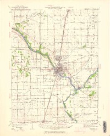
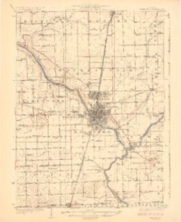
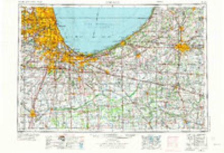
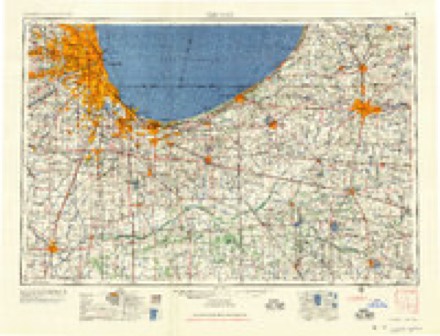
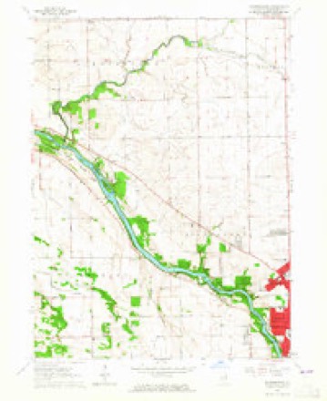
15 topographic sheets cover this place, the earliest surveyed in 1922 and the latest in 1991. It stands in Rockville Township. It lies in ZIP code area 60950. The Survey maps it on the Bourbonnais quadrangle.
Topographic sheets covering this place
7 surveys from 15 printed sheetsMatched by testing this settlement's coordinate against the published boundary of every sheet in the United States Geological Survey's historical collection. Each opens the scanned sheet at the Survey.
- 1922 USGS Kankakee quadrangle1:62500, 2 printings
- 1924 USGS Kankakee quadrangle1:62500, 2 printings
- 1953 USGS Chicago quadrangle1:250000, 5 printings
- 1957 USGS Chicago quadrangle1:250000
- 1963 USGS Bourbonnais quadrangle1:24000, 3 printings
- 1984 USGS Kankakee quadrangle1:100000
- 1991 USGS Kankakee quadrangle1:100000
Fires near this place
4 since 2010Regional context, not property-specific evidence. The federal wildfire occurrence database lists 4 fires within 5 miles of Deselm between 2010 and 2020, burning about 57 acres in total. None started naturally. None was recorded as arson. Distance is straight-line from the map coordinates, so a fire counted here may appear on a neighbouring settlement's page as well.
| Reported cause | Fires |
|---|---|
| Missing data/not specified/undetermined | 2 |
| Equipment and vehicle use | 1 |
| Debris and open burning | 1 |
The most recent of them, most recent first, with the day each was reported and the service that recorded it.
| Date | Cause | Size | Reported by | Name on the report |
|---|---|---|---|---|
| 29 May 2010 | Missing data/not specified/undetermined | under an acre | Illinois Division of Forestry Resources | 101031 |
| 26 December 2018 | Missing data/not specified/undetermined | 15 acres | Illinois Division of Forestry Resources | 2018-2936 |
| 1 December 2020 | Debris and open burning | 2.0 acres | Illinois Division of Forestry Resources | 2020-2513 |
| 31 October 2020 | Equipment and vehicle use | 40 acres | Illinois Division of Forestry Resources | 2020-2345 |
Settlements close enough to share some of these fires:
Mines and quarries near this place
2 within 5 milesRegional context, not property-specific evidence. The federal mineral resources record lists 2 workings within 5 miles of Deselm: 1 past producer, 1 occurrence. None of them still produces. What was taken out: Stone, Crushed/Broken. Distance is straight-line from the map coordinates, so a quarry counted here may appear on a neighbouring settlement's page as well.
| Where | Site | Commodity | Status | Recorded |
|---|---|---|---|---|
| Limestone Prospect | Stone, Crushed/Broken | Occurrence | ||
| Wesley Township Quarry | Stone, Crushed/Broken | Past Producer |
Storms near this place
12 since 1994Regional context, not property-specific evidence. The National Weather Service names Deselm in 12 storm reports between 1994 and 2025: 5 thunderstorm wind, 3 tornado, 2 hail, 1 flash flood. No death or injury is recorded in these reports. Each account below is quoted exactly as the forecast office filed it, from the NOAA Storm Events Database, and each date opens the federal record of that event.
| When | Event | Place named | Harm | What the report says |
|---|---|---|---|---|
| June 2013 | Tornado (EF0) | Deselm | $35,000 | A tornado briefly touched down at a farmstead just south of the intersection of County Line Road and North 1500 West Road. The tornado collapsed a barn, killing a horse. Debris was tossed 75 yards southeast across the road into an adjacent field. Maximum estimated winds were 85 mph. |
| April 1994 | Hail | Deselm | $5,000 | High winds and hail damaged windows and a porch. Jersey County Jerseyville,26,1933CST,,,0,0,3,0,Thunderstorm Winds Otterville,26,1933CST,,,0,0,4,0,Thunderstorm Winds Otterville,26,1933CST,,,0,0,3,0,Hail (1.75) The county sheriff reported wind damage to buildings and trees in Jerseyville. Golf ball-size hail also damaged cars in Otterville and high wind caused extensive damage to buildings and trees. |
| July 2025 | Thunderstorm Wind | Deselm | - | Four power lines were blown down and several tree limbs 6 inches in diameter were snapped. Vegetation was reported flattened. |
| July 2025 | Thunderstorm Wind | Deselm | - | Five utility poles were blown down at 9000N and 3250W Roads. |
| July 2024 | Tornado (EF0) | Deselm | - | A tornado with estimated peak winds of 85 mph touched down in a field west of County Road N 2250 W and north of County Road W 7000 N. The tornado caused tree damage on a farm just after it touched down. The tornado produced sporadic tree damage, crossing Route 45 where a utility pole was blown down. It then crossed Interstate 57 and produced extensive tree damage across southern Manteno. Several homes had minor roof and fascia damage and several fences were damaged. The tornado continued moving east with several modular homes sustaining skirt and siding damage in a subdivision just west of Sycamore Road. Roofing material was torn off of two distribution warehouse buildings near Boudreau Road. The tornado then continued east along County Road E 9000 N damaging trees, power lines and farm outbuildings. The tornado ended in a field just west of Tower Creek. |
| July 2024 | Thunderstorm Wind | Deselm | - | Numerous large tree limbs were blown down. A few smaller trees were uprooted. A few shingles were blown off a house on County Road N 5000 W. A few pieces of metal roofing were blown off a large and old barn. Numerous small tree limbs were blown down nearby. |
| April 2023 | Hail | Deselm | - | Photos shared on social media showed quarter size hail near 9000 North Road and 3500 West Road, west of Manteno. |
| August 2022 | Thunderstorm Wind | Deselm | - | Small tree limbs were blown down northwest of Bourbonnais. |
| January 2022 | Flood | Deselm | - | A river ice spotter reported flooding of trails at the Kankakee State Park near the Warner Bridge due to an ice jam. The water level dropped by one foot with ice marks left on nearby trees. Sheet ice cover buckled due to the water level drop. |
| June 2020 | Thunderstorm Wind | Deselm | - | Damage to power lines was reported near 10000 N Road and 1500 W Road. |
| September 2008 | Flash Flood | Deselm | - | Numerous streets and viaducts were flooded in Bradley. There was 2 feet of water at Euclid and Erie. Several streets and intersections were flooded and closed in Kankakee including Hobbie Avenue at Route 50 with 2 to 3 feet of water, and the Brookmont Boulevard viaduct with 1 to 2 feet of water. |
| May 2003 | Tornado (F0) | Deselm | - | A weak tornado touched down near Warner Bridge Road along the Will/Kankakee line. The tornado remained mainly in fields and did no damage. The tornado was observed and videotaped by a Kankakee police Sgt. and by a resident in Deselm. |
Nearest settlements
The eight closest, with where each one stands in the county. Distances are straight-line, computed from the Geographic Names Information System coordinates.
| Map | Place | Distance | Sheets |
|---|---|---|---|
| Flickerville | 2.3 miles | 15 | |
| Altorf | 4.1 miles | 15 | |
| Manteno | 7.6 miles | 14 | |
| Indian Oaks | 7.6 miles | 15 | |
| Limestone | 8.1 miles | 15 | |
| Bourbonnais | 8.2 miles | 15 | |
| Bonfield | 8.4 miles | 11 | |
| Hillside Manor | 9.3 miles | 15 |
Provenance
This settlement is recorded in the Geographic Names Information System as feature 407148. The sheet list is computed by point-in-boundary test against the United States Geological Survey's historical topographic inventory. Both are works of the United States government and carry no copyright under 17 U.S.C. 105.
Wildfire. Short, Karen C. 2022. Spatial wildfire occurrence data for the United States, 1992-2020 [FPA_FOD_20221014]. 6th Edition. Fort Collins, CO: Forest Service Research Data Archive. https://doi.org/10.2737/RDS-2013-0009.6 Collected with United States Government funding and usable without additional permissions or fees.
Mines and quarries. USGS Mineral Resources Data System (MRDS) https://mrdata.usgs.gov/mrds/ A work of the United States government, no copyright under 17 U.S.C. 105.
Storms. NOAA National Centers for Environmental Information, Storm Events Database https://www.ncei.noaa.gov/stormevents/ A work of the United States government, no copyright under 17 U.S.C. 105. Narratives are quoted verbatim from the National Weather Service report and are not edited or summarised.