 Block
Downs, Illinois
14 topographic sheets cover this place, the earliest surveyed in 1951 and the latest in 1990. It stands in Downs Township. It lies in ZIP code area 61736. The Survey maps it on the Holder quadrangle. 1,201 people lived here at the 2020 count. It stands 807 feet above sea level.
Population over time
2 figuresDowns grew from 1,005 to 1,201 between 2010 and 2020. These are the recorded population figures Wikidata holds for this place, reached through the Geographic Names Information System number this page is keyed on rather than by name, so they belong to this place and not to another of the same name. Most are census counts, but not all are: an early figure may be a founding or settlement estimate, and an estimate published within five years of a census is left out. The change column is computed, and is left blank where more than 20 years separate a figure from the one before it, because a gap that long is not a change between two counts.
| Year | People | Change |
|---|---|---|
| 2010 | 1,005 | |
| 2020 | 1,201 | +196 (+20%) |
Topographic sheets covering this place
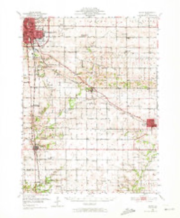
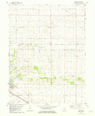
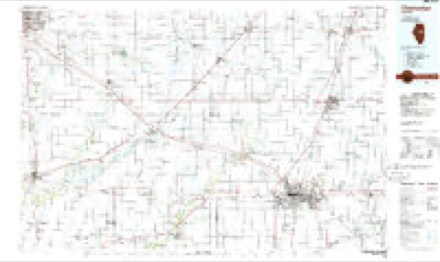
7 surveys from 14 printed sheetsMatched by testing this settlement's coordinate against the published boundary of every sheet in the United States Geological Survey's historical collection. Each opens the scanned sheet at the Survey.
- 1951 USGS Le Roy quadrangle1:62500, 3 printings
- 1958 USGS Peoria quadrangle1:250000, 4 printings
- 1961 USGS Peoria quadrangle1:250000
- 1963 USGS Peoria quadrangle1:250000
- 1981 USGS Holder quadrangle1:24000, 2 printings
- 1985 USGS Champaign quadrangle1:100000, 2 printings
- 1990 USGS Peoria quadrangle1:250000




In the county-history sources
14,156 words on this townshipThe Good Old Times in McLean County, Illinois : Containing Two Hundred and Sixty-one Sketches of Old Settlers, a Complete Historical Sketch of the Black Hawk War and Descriptions of All Matters of Interest Relating to McLean County, published 1874 names this settlement in its chapter on Downs Township. These are the passages that mention it, exactly as the scans read.
Lawson Downs was born about the vear 1809, near Nashville, Tennessee, where he lived until he was nine years of age. Then his parents moved to White County, Illinois, and there Lawson Downs remained until he was grown. In the year 1829 he came to McLean County, Illinois, and entered his land in the present township of Downs. He was accustomed to raise pigs in the timber, which were so wild, that when he fattened them, he threw down corn and went away, or they would never eat it. When they were fat he hunted them with his rifle and shot them in the timber.
Passage source: The Good Old Times in McLean County, Illinois : Containing Two Hundred and Sixty-one Sketches of Old Settlers, a Complete Historical Sketch of the Black Hawk War and Descriptions of All Matters of Interest Relating to McLean County, published 1874.
During the winter of the deep snow Lawson Downs had his sheep covered by the snow, but he found them by looking for the holes which their breath melted up through the crust. In order to get wood during that memorable winter, he was obliged to shovel his way to a tree, cut it down and haul it in with oxen.
Passage source: The Good Old Times in McLean County, Illinois : Containing Two Hundred and Sixty-one Sketches of Old Settlers, a Complete Historical Sketch of the Black Hawk War and Descriptions of All Matters of Interest Relating to McLean County, published 1874.
Lawson Downs served in the Black Hawk war, having been out thirty days under Covel. For this service he afterwards obtained a warrant for a quarter section of land. He sold the warrant cheap and never located the land.
Passage source: The Good Old Times in McLean County, Illinois : Containing Two Hundred and Sixty-one Sketches of Old Settlers, a Complete Historical Sketch of the Black Hawk War and Descriptions of All Matters of Interest Relating to McLean County, published 1874.
Machine-read from a century-old scan, so expect the errors a machine makes: misspelled names, dropped words, stray characters.
Read the whole chapter on Downs Township - it names this place 28 more 28 times.
Mines and quarries near this place
3 within 5 milesRegional context, not property-specific evidence. The federal mineral resources record lists 3 workings within 5 miles of Downs: 1 producer, 1 plant, 1 past producer. 2 still produce. What was taken out: Sand and Gravel, Construction. Distance is straight-line from the map coordinates, so a quarry counted here may appear on a neighbouring settlement's page as well.
| Where | Site | Commodity | Status | Recorded |
|---|---|---|---|---|
| Hall Pit No. 74 | Sand and Gravel, Construction | Producer | ||
| Heidelberg Gravel Pit | Sand and Gravel, Construction | Past Producer | ||
| Mikel Pit & Mill | Sand and Gravel, Construction | Plant |
Storms near this place
15 since 1997Regional context, not property-specific evidence. The National Weather Service names Downs in 15 storm reports between 1997 and 2025: 10 thunderstorm wind, 4 hail, 1 tornado. No death or injury is recorded in these reports. Each account below is quoted exactly as the forecast office filed it, from the NOAA Storm Events Database, and each date opens the federal record of that event.
| When | Event | Place named | Harm | What the report says |
|---|---|---|---|---|
| July 2020 | Thunderstorm Wind | Downs | $250,000 | Numerous trees and tree branches were blown down. Some of the falling trees damaged cars, houses, and power lines. |
| April 1997 | Tornado (F0) | Downs | $100,000 | A tornado first touched down 1.5 miles east of Downs, blowing down a barn which trapped a 32-year old pony for 16 hours. Several other barns, machine sheds, cattle sheds, and grain bins were damaged or destroyed in the area. As the tornado travelled to the northeast, it damaged a barn and grain bin 1 mile north of Holder and a cattle barn was destroyed 2.5 miles north of Holder on Route 9. Further to the northeast the tornado caused $100,000 in damage to a gas station in Cooksville where two of the three service bays were destroyed and the third one sustained some damage. The fire station and a golf cart business reported minor roof damage. Also, power poles just north of Cooksville were snapped off and others were leaning to the ground. Before the tornado lifted and dissipated, it damaged a large barn 3 miles northeast of Cooksville. No injuries were reported. |
| July 2016 | Thunderstorm Wind | Downs | $40,000 | Multiple trees were blown down in a residential area northwest of Downs. |
| August 2009 | Thunderstorm Wind | Downs | $10,000 | Several large trees were blown down near Rt 150 and county roads 1800 E and 1900 E. |
| April 2025 | Thunderstorm Wind | Downs | - | A few small trees were blown down. |
| October 2021 | Thunderstorm Wind | Downs | - | Numerous trees and power lines were blown down. |
| May 2011 | Thunderstorm Wind | Downs | - | A semi was blown over on I-74 at mile marker 145. |
| April 2006 | Thunderstorm Wind | Downs | - | Pickup truck and semi trailer overturned on Interstate 74 near mile marker 144. |
| June 2006 | Hail | Downs | - | Hail caused significant crop damage. Accumulated hail was still up to dime size an hour after falling. |
| June 2000 | Thunderstorm Wind | Downs | - | Several trees were either uprooted or blown over. A shed was damaged and a house sustained minor gutter damage. Several power lines were blown down as well. |
| April 2022 | Hail | Downs | - | no account filed |
| November 2016 | Hail | Downs | - | no account filed |
| June 2008 | Thunderstorm Wind | Downs | - | no account filed |
| March 2007 | Thunderstorm Wind | Downs | - | no account filed |
| June 2006 | Hail | Downs | - | no account filed |
Nearest settlements
The eight closest, with where each one stands in the county. Distances are straight-line, computed from the Geographic Names Information System coordinates.
Elsewhere
Matched on this settlement's Geographic Names Information System number rather than its name, so it cannot be a different place of the same name in another state.
| Wikipedia article on Downs | An encyclopaedic summary. Its text is share-alike, so it is linked here rather than copied. |
| Wikidata item Q2216723 | The structured record the population and elevation above come from. Public domain (CC0). |
Provenance
This settlement is recorded in the Geographic Names Information System as feature 407369. The sheet list is computed by point-in-boundary test against the United States Geological Survey's historical topographic inventory. Both are works of the United States government and carry no copyright under 17 U.S.C. 105.
Mines and quarries. USGS Mineral Resources Data System (MRDS) https://mrdata.usgs.gov/mrds/ A work of the United States government, no copyright under 17 U.S.C. 105.
Storms. NOAA National Centers for Environmental Information, Storm Events Database https://www.ncei.noaa.gov/stormevents/ A work of the United States government, no copyright under 17 U.S.C. 105. Narratives are quoted verbatim from the National Weather Service report and are not edited or summarised.