 Block
Eagle Lake, Illinois
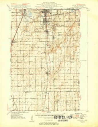
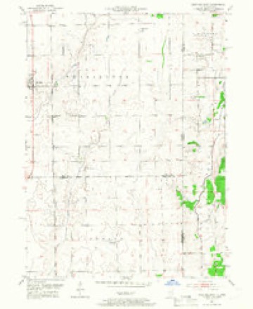
13 topographic sheets cover this place, the earliest surveyed in 1949 and the latest in 1991. It stands in Washington Township. It lies in ZIP code area 60401. The Survey maps it on the Beecher East quadrangle.
Topographic sheets covering this place
7 surveys from 13 printed sheetsMatched by testing this settlement's coordinate against the published boundary of every sheet in the United States Geological Survey's historical collection. Each opens the scanned sheet at the Survey.
- 1949 USGS Crete quadrangle1:62500
- 1953 USGS Beecher East quadrangle1:24000, 3 printings
- 1953 USGS Chicago quadrangle1:250000, 5 printings
- 1957 USGS Chicago quadrangle1:250000
- 1984 USGS Kankakee quadrangle1:100000
- 1990 USGS Beecher East quadrangle1:24000
- 1991 USGS Kankakee quadrangle1:100000
Storms near this place
10 since 2010Regional context, not property-specific evidence. The National Weather Service names Eagle Lake in 10 storm reports between 2010 and 2026: 3 tornado, 3 thunderstorm wind, 2 hail, 1 funnel cloud. No death or injury is recorded in these reports. Each account below is quoted exactly as the forecast office filed it, from the NOAA Storm Events Database, and each date opens the federal record of that event.
| When | Event | Place named | Harm | What the report says |
|---|---|---|---|---|
| November 2013 | Tornado (EF1) | Eagle Lake | $100,000 | This is a continuation of a tornado that formed in Kankakee County at 1:00 PM CST. The tornado moved northeast into Will County just west of N 17480 E Road. A large barn sustained significant damage to its roof and outer walls. Two adjacent metal outbuildings also had partial roof loss. Several softwood trees were snapped at the base or half way up with debris lofted about a thousand feet. A 400 lb tractor blade was moved about 60 feet while a grain pipe that had been riveted to the silo was ripped away. Minor tree damage was noted along E Delite Inn Road as well as minor damage to small barns and outbuildings. The tornado had estimated winds to around 100 mph. |
| May 2025 | Thunderstorm Wind | Eagle Lake | - | A private weather station measured a wind gust to 65 mph. |
| July 2024 | Tornado (EF0) | Eagle Lake | - | A tornado with estimated peak winds of 90 mph touched down west of Yates Avenue, southwest of Eagle Lake where several trees and an outbuilding were damaged. The tornado moved northeast and crossed into Lake County in northwest Indiana south of Brunswick Road. |
| October 2021 | Tornado (EF0) | Eagle Lake | - | A tornado with peak winds of 80 mph touched down just west of the Illinois Indiana state line near Red Oak Lane. The tornado produced minor tree damage before crossing into Indiana near the intersection of Bemes Road and State Line Road. |
| June 2014 | Flash Flood | Eagle Lake | - | Approximately a foot of flowing water was reported over Offner Road. |
| June 2014 | Thunderstorm Wind | Eagle Lake | - | Two trees, one 20 inches in diameter and the other 10 inches in diameter, were blown down. Numerous tree limbs were blown down. |
| June 2011 | Hail | Eagle Lake | - | Quarter size hail was reported near Kentucky and Stateline Roads. |
| October 2010 | Funnel Cloud | Eagle Lake | - | A funnel cloud was sighted on the Illinois side of the state line, just west of St. John, Indiana. |
| April 2026 | Thunderstorm Wind | Eagle Lake | - | no account filed |
| June 2014 | Hail | Eagle Lake | - | no account filed |
Nearest settlements
The eight closest, with where each one stands in the county. Distances are straight-line, computed from the Geographic Names Information System coordinates.
| Map | Place | Distance | Sheets |
|---|---|---|---|
| Claus | 3.1 miles | 13 | |
| Beecher | 4.1 miles | 13 | |
| Goodenow | 4.8 miles | 17 | |
| Polk | 4.8 miles | 13 | |
| Faithorn | 5.2 miles | 16 | |
| Plum Valley | 6.3 miles | 16 | |
| Willowbrook | 6.3 miles | 16 | |
| Crete | 6.8 miles | 17 |
Provenance
This settlement is recorded in the Geographic Names Information System as feature 407571. The sheet list is computed by point-in-boundary test against the United States Geological Survey's historical topographic inventory. Both are works of the United States government and carry no copyright under 17 U.S.C. 105.
Storms. NOAA National Centers for Environmental Information, Storm Events Database https://www.ncei.noaa.gov/stormevents/ A work of the United States government, no copyright under 17 U.S.C. 105. Narratives are quoted verbatim from the National Weather Service report and are not edited or summarised.