 Block
East Hannibal, Illinois
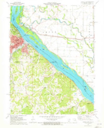
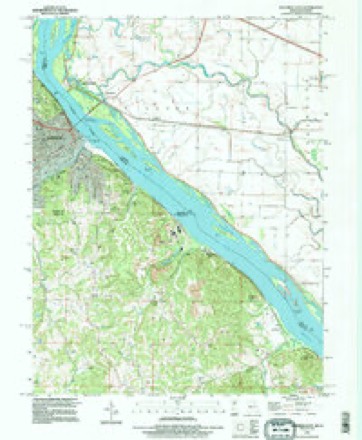
17 topographic sheets cover this place, the earliest surveyed in 1932 and the latest in 1993. It stands in Levee Township. It lies in ZIP code area 62343. It stands on Bird Slough. The Survey maps it on the Hannibal East quadrangle.
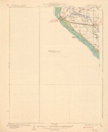
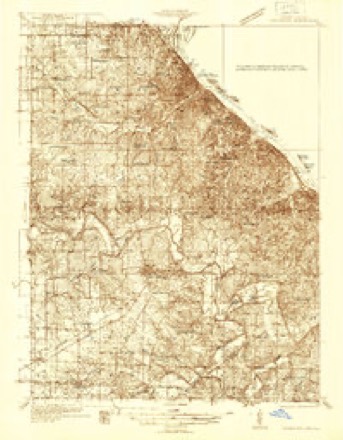
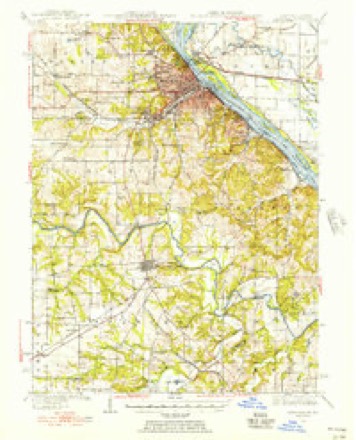
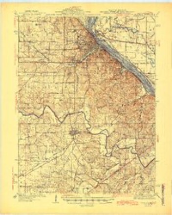
Topographic sheets covering this place
9 surveys from 17 printed sheetsMatched by testing this settlement's coordinate against the published boundary of every sheet in the United States Geological Survey's historical collection. Each opens the scanned sheet at the Survey.
- 1932 USGS Hannibal quadrangle1:62500, 4 printings
- 1936 USGS Hannibal quadrangle1:48000
- 1936 USGS Hannibal quadrangle1:62500
- 1945 USGS Hannibal quadrangle1:62500, 2 printings
- 1948 USGS Quincy quadrangle1:250000, 2 printings
- 1956 USGS Quincy quadrangle1:250000, 3 printings
- 1971 USGS Hannibal East quadrangle1:24000
- 1986 USGS Quincy quadrangle1:100000, 2 printings
- 1993 USGS Hannibal East quadrangle1:24000


In the county-history sources
123 words on this townshipWith The Colors in Pike County, Illinois, published 1920 has no passage naming this settlement, which was common for smaller places. Its township is covered in full.
The chapter on Levee Township covers the township.
Read the chapter on Levee Township - 123 words.
Fires near this place
12 since 1992Regional context, not property-specific evidence. The federal wildfire occurrence database lists 12 fires within 5 miles of East Hannibal between 1992 and 2020, burning about 39 acres in total. None started naturally. None was recorded as arson. Distance is straight-line from the map coordinates, so a fire counted here may appear on a neighbouring settlement's page as well.
| Reported cause | Fires |
|---|---|
| Debris and open burning | 6 |
| Missing data/not specified/undetermined | 5 |
| Railroad operations and maintenance | 1 |
The most recent of them, most recent first, with the day each was reported and the service that recorded it.
| Date | Cause | Size | Reported by | Name on the report |
|---|---|---|---|---|
| 5 May 2018 | Railroad operations and maintenance | under an acre | Missouri Department of Conservation | 177318-06417-05052018-1413 |
| 7 March 2020 | Debris and open burning | 1.5 acres | Missouri Department of Conservation | 190478-06417-03072020-1155 |
| 28 March 2010 | Missing data/not specified/undetermined | 1.0 acres | Illinois Division of Forestry Resources | 102217 |
| 19 March 2008 | Missing data/not specified/undetermined | under an acre | Illinois Division of Forestry Resources | MILE 8 |
| 19 March 1994 | Debris and open burning | 1.0 acres | Missouri Department of Conservation | not named |
| 15 March 2018 | Missing data/not specified/undetermined | under an acre | Missouri Department of Conservation | 177317-06417-03152018-1744 |
| 27 February 2018 | Missing data/not specified/undetermined | under an acre | Missouri Department of Conservation | 177313-06417-02272018-1459 |
| 18 February 1994 | Debris and open burning | 15 acres | Missouri Department of Conservation | not named |
Settlements close enough to share some of these fires:
Mines and quarries near this place
10 of 20 shownRegional context, not property-specific evidence. The federal mineral resources record lists 20 workings within 5 miles of East Hannibal: 14 past producers, 6 producers. 6 still produce. What was taken out: Stone, Crushed/Broken, Sand and Gravel, Construction, Clay. Distance is straight-line from the map coordinates, so a quarry counted here may appear on a neighbouring settlement's page as well.
| Where | Site | Commodity | Status | Recorded |
|---|---|---|---|---|
| Hannibal Plant - Shale Pit | Clay | Producer | ||
| Bleigh Sand Pit | Sand and Gravel, Construction | Producer | ||
| Fall Creek Pit | Sand and Gravel, Construction | Past Producer | ||
| Gen Stewart S&G Pit | Sand and Gravel, Construction | Producer | ||
| Poage Pit | Sand and Gravel, Construction | Producer | ||
| Al Plant - Quarry & Plant | Stone, Crushed/Broken | Producer | ||
| Burlington Mine | Stone, Crushed/Broken | Producer | ||
| Central Stone #7 Quarry | Stone, Crushed/Broken | Past Producer | ||
| Odell Quarry | Stone, Crushed/Broken | Past Producer | ||
| Unknown | Stone, Crushed/Broken | Past Producer |
Storms near this place
8 since 1995Regional context, not property-specific evidence. The National Weather Service names East Hannibal in 8 storm reports between 1995 and 2013: 5 flood, 2 thunderstorm wind, 1 hail. No death or injury is recorded in these reports. Each account below is quoted exactly as the forecast office filed it, from the NOAA Storm Events Database, and each date opens the federal record of that event.
| When | Event | Place named | Harm | What the report says |
|---|---|---|---|---|
| May 2013 | Flood | East Hannibal | $2,000 | The Mississippi River was at major flood levels in early May, dropped a bit for the middle of the month, then rose to major flood levels again at the end of the month. Damage was limited to some flooded roads and flooded farmland. |
| April 2013 | Flood | East Hannibal | $2,000 | The Mississippi River reached major flood levels along the border of Pike County. The river crested on April 21st and 22nd, but remained above flood stage into May. Damage was limited to a few closed roads and agricultural lowlands. |
| June 2013 | Flood | East Hannibal | $1,000 | The Mississippi River bordering on Pike County started June in flood and rose to major flood levels cresting on the 1st. The river remained in flood into July. Damage was limited to a few closed roads and flooded farmland. |
| May 1995 | Thunderstorm Wind | East Hannibal | $200 | The Illinois State Police reported several large trees down. |
| May 2013 | Thunderstorm Wind | East Hannibal | - | A line of severe thunderstorms moved through northern portions of Pike County. Considerable wind damage was noted along the I-72 corridor from the Mississippi River to the I-72/I-172 interchange. There was a great deal of tree damage on both sides of the road where it extended from the eastern bank of the river to the levee. Varying sizes of limbs and branches were broken, twisted and dangling. The damage extended well beyond the levee. Three residences on the north side of the interstate near the first Illinois exit had minor roof damage. Further east, the winds destroyed a large machine shed at a farmstead. The next farm along the north side of the road suffered the worst damage. This property consisted of 7 small grain bins and 4 large ones. The smaller bins are set to the west of the larger ones. All 11 grain bins were dented on the southwest side to some degree. By far the worst was the southwestern most large grain bin. It was completely crushed to the point where it is a total loss. The interstate bends to the northeast just past the farm with the grain bins. There was some tree damage to the next two residences on the south side of the interstate prior to the interchange with I-172. |
| June 2008 | Flood | East Hannibal | - | The Mississippi River crested at Hannibal, MO at 39.54 feet on 6/18/2008. This is the second highest crest ever recorded. At Saverton, MO, the river crested at 39.97 feet on 6/18/2008. This is also the second highest level ever recorded. At Louisiana, MO, the river crested at 26.96 feet. This is the third highest level ever recorded. Considering the high river levels, the county fared pretty well. No towns suffered significant damage as the primary levee in the county, The Sny, held firm. There was some seepage of water under the levee system causing many of the drainage ditches to overflow and flood fields. Agricultural damage was estimated at $18 million. |
| June 2010 | Flood | East Hannibal | - | no account filed |
| May 1996 | Hail | East Hannibal | - | no account filed |
Nearest settlements
The eight closest, with where each one stands in the county. Distances are straight-line, computed from the Geographic Names Information System coordinates.
Provenance
This settlement is recorded in the Geographic Names Information System as feature 422650. The sheet list is computed by point-in-boundary test against the United States Geological Survey's historical topographic inventory. Both are works of the United States government and carry no copyright under 17 U.S.C. 105.
Wildfire. Short, Karen C. 2022. Spatial wildfire occurrence data for the United States, 1992-2020 [FPA_FOD_20221014]. 6th Edition. Fort Collins, CO: Forest Service Research Data Archive. https://doi.org/10.2737/RDS-2013-0009.6 Collected with United States Government funding and usable without additional permissions or fees.
Mines and quarries. USGS Mineral Resources Data System (MRDS) https://mrdata.usgs.gov/mrds/ A work of the United States government, no copyright under 17 U.S.C. 105.
Storms. NOAA National Centers for Environmental Information, Storm Events Database https://www.ncei.noaa.gov/stormevents/ A work of the United States government, no copyright under 17 U.S.C. 105. Narratives are quoted verbatim from the National Weather Service report and are not edited or summarised.