 Block
Ellis, Illinois
17 topographic sheets cover this place, the earliest surveyed in 1907 and the latest in 1985. It stands in Williams Township. It lies in ZIP code area 62684. The Survey maps it on the Williamsville quadrangle.
Topographic sheets covering this place
7 surveys from 17 printed sheetsMatched by testing this settlement's coordinate against the published boundary of every sheet in the United States Geological Survey's historical collection. Each opens the scanned sheet at the Survey.
- 1907 USGS Springfield quadrangle1:62500, 2 printings
- 1930 USGS Springfield quadrangle1:62500, 3 printings
- 1940 USGS Springfield quadrangle1:62500, 2 printings
- 1958 USGS Decatur quadrangle1:250000, 3 printings
- 1961 USGS Decatur quadrangle1:250000, 2 printings
- 1966 USGS Williamsville quadrangle1:24000, 3 printings
- 1985 USGS Springfield quadrangle1:100000, 2 printings
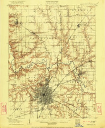
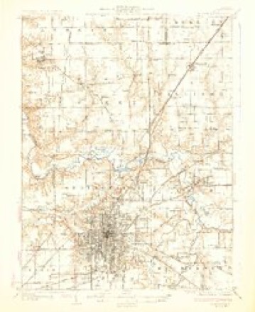
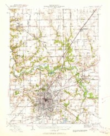


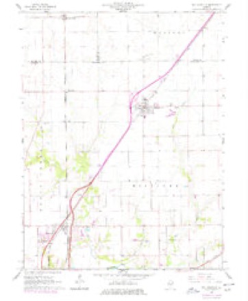

In the county-history sources
10,853 words on this townshipHistory of Sangamon County, Illinois; Together with Sketches of Its Cities, Villages and Townships ... Portraits of Prominent Persons, and Biographies of Representative Citizens. History of Illinois, published 1881 names this settlement in its chapter on Williams Township. These are the passages that mention it, exactly as the scans read.
Williams township was organized at same time wnth the remaining townships in the county in 1861, and was named as was the village in honor of Colonel John Williams, a noted pioneer and business man of Springfield. The first election was held on the first Monday in April of 1861. The following named being elected to the offices mentioned: Miletus W. Ellis, Supervisor; George T. Hickman, Treasurer; George H. Brown, Clerk; F. A. Merriman, Assessor; George W. Sutton, Collector; Eben M. Douglas, John O. Towner, Justices of the Peace; George W. Sutton, Meredith Cooper, Constables; James Lester, William Yocum and George T. Hickman, Commissioners of Highways.
Passage source: History of Sangamon County, Illinois; Together with Sketches of Its Cities, Villages and Townships ... Portraits of Prominent Persons, and Biographies of Representative Citizens. History of Illinois, published 1881.
In consequence of Mr. Ellis having gone to Oregon, and other officers being needed, in March, 1852, an election was held, and William T. Jones and James Lester were elected elders, and George W. Constant and James Barr, deacons.
Passage source: History of Sangamon County, Illinois; Together with Sketches of Its Cities, Villages and Townships ... Portraits of Prominent Persons, and Biographies of Representative Citizens. History of Illinois, published 1881.
The Barclay Christian Church was organized by Elder Robert Foster, September 3, 1837, and was known as the Wolf Creek Christian Church, The following named composed the original officers: Andrew J. Grove, Rezin H. Constant, Miletus W. Ellis, elders; Samuel Wilson, James- Taylor, William F. Elkin, deacons; W. W. Ellis, clerk. The first meetings were held at the house of Isaac H. Constant, in Williamsville township and at R. H. Constant's in Clear Lake. After the congregation was organized meetings were held at Mr. Grove's, about three miles south of Williamsville, then at a school house about a quarter of a mile from R. H. Constant's, then at a school house on southwest corner of the southeast quarter of section two. They then built a church house at Barclay at a cost of |2,700, in size thirty-two by fortyfour. Since its organization the church has been ministered unto by the following named: Elders Foster, Powell, Sweet, Kane, Bowles, Peeler, Wilson, Vawter, Orcott, Mallory, Lindsley and T. J. Burton, ths present pastor. R. H. Constant is at present the only elder, with Isaac Taylor, John Taylor, William Dunavan deacons. R. H. C onstant is clerk. Out of this church has grown in part that of Williamsville, Clear Lake and Cornland. When it removed to Barclay it took upon it the name of that village. The present membership is sixty-five.
Passage source: History of Sangamon County, Illinois; Together with Sketches of Its Cities, Villages and Townships ... Portraits of Prominent Persons, and Biographies of Representative Citizens. History of Illinois, published 1881.
Machine-read from a century-old scan, so expect the errors a machine makes: misspelled names, dropped words, stray characters.
Read the whole chapter on Williams Township - it names this place 3 more 3 times.
Fires near this place
27 since 2002Regional context, not property-specific evidence. The federal wildfire occurrence database lists 27 fires within 5 miles of Ellis between 2002 and 2014, burning about 187 acres in total. None started naturally. None was recorded as arson. Distance is straight-line from the map coordinates, so a fire counted here may appear on a neighbouring settlement's page as well.
| Reported cause | Fires |
|---|---|
| Debris and open burning | 14 |
| Missing data/not specified/undetermined | 13 |
The most recent of them, most recent first, with the day each was reported and the service that recorded it.
| Date | Cause | Size | Reported by | Name on the report |
|---|---|---|---|---|
| 26 September 2013 | Debris and open burning | 2.0 acres | Illinois Division of Forestry Resources | 13-0000327 |
| 17 September 2010 | Missing data/not specified/undetermined | 1.0 acres | Illinois Division of Forestry Resources | 10308 |
| 11 September 2013 | Debris and open burning | under an acre | Illinois Division of Forestry Resources | 13-0000307 |
| 8 August 2010 | Missing data/not specified/undetermined | under an acre | Illinois Division of Forestry Resources | 10259 |
| 8 July 2010 | Missing data/not specified/undetermined | 1.0 acres | Illinois Division of Forestry Resources | 10209 |
| 19 July 2010 | Missing data/not specified/undetermined | under an acre | Illinois Division of Forestry Resources | 10228 |
| 5 May 2014 | Debris and open burning | 1.0 acres | Illinois Division of Forestry Resources | 14-0000148 |
| 6 April 2014 | Debris and open burning | 1.0 acres | Illinois Division of Forestry Resources | 14-0000112 |
Settlements close enough to share some of these fires:
Nearest settlements
The eight closest, with where each one stands in the county. Distances are straight-line, computed from the Geographic Names Information System coordinates.
| Map | Place | Distance | Sheets |
|---|---|---|---|
| Van Wood | 1.0 miles | 17 | |
| Knollwood | 2.1 miles | 17 | |
| Williamsville | 2.7 miles | 17 | |
| Sherman | 3.7 miles | 17 | |
| North Wind | 4.1 miles | 17 | |
| Cantrall | 4.1 miles | 17 | |
| Andrew | 4.2 miles | 17 | |
| Peabody | 4.8 miles | 17 |
Provenance
This settlement is recorded in the Geographic Names Information System as feature 422665. The sheet list is computed by point-in-boundary test against the United States Geological Survey's historical topographic inventory. Both are works of the United States government and carry no copyright under 17 U.S.C. 105.
Wildfire. Short, Karen C. 2022. Spatial wildfire occurrence data for the United States, 1992-2020 [FPA_FOD_20221014]. 6th Edition. Fort Collins, CO: Forest Service Research Data Archive. https://doi.org/10.2737/RDS-2013-0009.6 Collected with United States Government funding and usable without additional permissions or fees.