 Block
Emden, Illinois
14 topographic sheets cover this place, the earliest surveyed in 1951 and the latest in 1996. It stands in Orvil Township. It lies in ZIP code area 62635. The Survey maps it on the Emden quadrangle. 467 people lived here at the 2020 count. It stands 589 feet above sea level.
Population over time
2 figuresEmden fell from 485 to 467 between 2010 and 2020. These are the recorded population figures Wikidata holds for this place, reached through the Geographic Names Information System number this page is keyed on rather than by name, so they belong to this place and not to another of the same name. Most are census counts, but not all are: an early figure may be a founding or settlement estimate, and an estimate published within five years of a census is left out. The change column is computed, and is left blank where more than 20 years separate a figure from the one before it, because a gap that long is not a change between two counts.
| Year | People | Change |
|---|---|---|
| 2010 | 485 | |
| 2020 | 467 | -18 (-4%) |
Topographic sheets covering this place
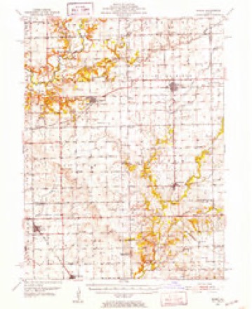
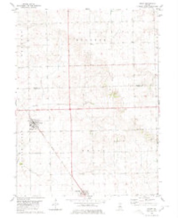
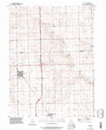
9 surveys from 14 printed sheetsMatched by testing this settlement's coordinate against the published boundary of every sheet in the United States Geological Survey's historical collection. Each opens the scanned sheet at the Survey.
- 1951 USGS Minier quadrangle1:62500, 3 printings
- 1958 USGS Peoria quadrangle1:250000, 4 printings
- 1961 USGS Peoria quadrangle1:250000
- 1963 USGS Peoria quadrangle1:250000
- 1980 USGS Emden quadrangle1:24000
- 1985 USGS Lincoln quadrangle1:100000
- 1989 USGS Lincoln quadrangle1:100000
- 1990 USGS Peoria quadrangle1:250000
- 1996 USGS Emden quadrangle1:24000




In the county-history sources
7,706 words on this townshipHistory of Logan County, Illinois, Together with Sketches of Its Cities, Villages, and Towns, Educational, Religious, Civil, Military, and Political History, Portraits of Prominent Person, and Biographies of Representative Citizens : Also a Condensed History of Illinois, Embodying Accounts of Prehistoric Races, Indian Wars, and a Brief Review of Its Civil and Political History, published 1886 names this settlement in its chapter on Orvil Township. These are the passages that mention it, exactly as the scans read.
Orvil Township is in the north tier of townships, and is bounded on the north by Tazewell County. To the east lies Eminence Township, to the south, West Lincoln Township, and to the west, Prairie Creek Township. Sugar Creek flows along its southern border. The township is crossed diagonally by the Peoria, Decatur & Evansville Pailroad, with two stations - Emden and Hartsburg - in this township. Much of the land in Orvil is owned by William Scully, of London, England, and is rented to tenants.
The German Lutherans and Methodists hold services here on alternate Sundays, Eev. Lang, of Emden, preaching for the former, and Eev. Counselman for the latter. The English Methodists have a society, and occasionally hold services in the German church.
Henry Hallman became a resident of Emden, Logan County, in 1876, at which date he formed a partnership with George W. Miller and engaged in the general mercantile business under the firm name of Miller & Hallman until 1881, when Mr. Hallman became sole proprietor, and has since continued the business alone. Mr. Hallman is a native of Germany, born October 20, 1852. He remained in Germany till 1868, when he came to America with his uncle, George Hallman. He first located at Pekin, Illinois, where he learned the shoemaker's trade, which he followed till coming to Emden. Mr. Hallman was married in May, 1877, to Lena Oltheas, a native of Germany. Of the five children born to them only three are living - John, Ollie and Fannie. One child died at the age of three years, and one aged two years. Mr. and Mrs. Hallman are members of the Methodist church.
Machine-read from a century-old scan, so expect the errors a machine makes: misspelled names, dropped words, stray characters.
Read the whole chapter on Orvil Township - it names this place 5 more 5 times.
Storms near this place
12 since 2001Regional context, not property-specific evidence. The National Weather Service names Emden in 12 storm reports between 2001 and 2025: 3 thunderstorm wind, 3 tornado, 3 flash flood, 3 hail. No death or injury is recorded in these reports. Each account below is quoted exactly as the forecast office filed it, from the NOAA Storm Events Database, and each date opens the federal record of that event.
| When | Event | Place named | Harm | What the report says |
|---|---|---|---|---|
| May 2025 | Tornado (EFU) | Emden | - | Video evidence showed a brief landspout tornado touched down just east of I-155 and north of US-136 about 2.5 miles east-northeast of Emden at 3:49 PM CDT. The tornado quickly dissipated...with no damage observed. |
| June 2021 | Flash Flood | Emden | - | Route 136 was flooded near Sugar Creek. Several other roads were flooded in Atlanta and Lawndale. |
| September 2019 | Tornado (EF0) | Emden | - | A tornado touched down in an open field along US-136 1.8 miles west-northwest of Emden at 4:18 PM CDT. The tornado initially tracked nearly parallel to US-136 damaging tree limbs and crops, then turned to the east-southeast and passed about one quarter mile north of the village of Emden before dissipating in a field 1.1 miles east-northeast of Emden at 4:26 PM CDT. |
| May 2013 | Flash Flood | Emden | - | Already saturated ground and an additional 2.00 to 3.00 of rain during the late evening of May 30th resulted in flooding of many rural roads in northern Logan County. The greatest impact was from Emden to Hartsburg where the water was 18 to 24 inches deep in spots. The flash flooding subsided during the early morning hours of May 31st. |
| June 2010 | Flash Flood | Emden | - | Around 1.50 to 2.25 of rain fell between 0845 and 1000 CST on top of already saturated ground. This produced rapid flash flooding in most of Logan County. Many city streets in Lincoln were flooded, which stranded several cars. Nearly one foot of water flowed from the parking lot into part of Lincoln Community High School. Most rural roads west and south of Lincoln were impassable. |
| July 2003 | Thunderstorm Wind | Emden | - | Numerous trees, tree limbs and power lines were blown down. |
| May 2003 | Tornado (F0) | Emden | - | A tornado touched down several times along a 5 mile long path. It blew down several trees and tree limbs but no structural damage or injuries were reported. |
| August 2001 | Thunderstorm Wind | Emden | - | A power pole was blown down onto US Highway 136, two miles east of Interstate 155. |
| September 2012 | Hail | Emden | - | no account filed |
| February 2011 | Hail | Emden | - | no account filed |
| February 2011 | Hail | Emden | - | no account filed |
| August 2003 | Thunderstorm Wind | Emden | - | no account filed |
Nearest settlements
The eight closest, with where each one stands in the county. Distances are straight-line, computed from the Geographic Names Information System coordinates.
Elsewhere
Matched on this settlement's Geographic Names Information System number rather than its name, so it cannot be a different place of the same name in another state.
| Wikipedia article on Emden | An encyclopaedic summary. Its text is share-alike, so it is linked here rather than copied. |
| Wikidata item Q1335282 | The structured record the population and elevation above come from. Public domain (CC0). |
Provenance
This settlement is recorded in the Geographic Names Information System as feature 407986. The sheet list is computed by point-in-boundary test against the United States Geological Survey's historical topographic inventory. Both are works of the United States government and carry no copyright under 17 U.S.C. 105.
Storms. NOAA National Centers for Environmental Information, Storm Events Database https://www.ncei.noaa.gov/stormevents/ A work of the United States government, no copyright under 17 U.S.C. 105. Narratives are quoted verbatim from the National Weather Service report and are not edited or summarised.