 Block
Enfield, Illinois
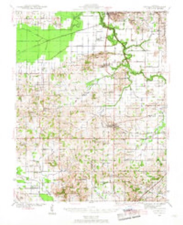
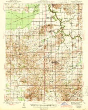
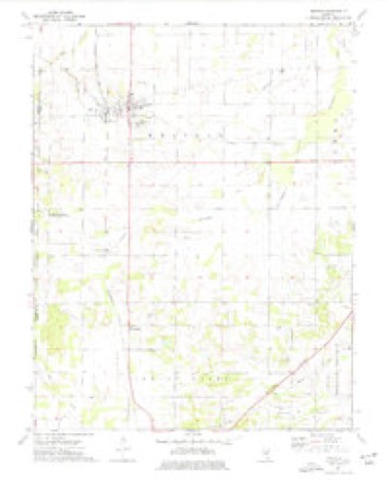
9 topographic sheets cover this place, the earliest surveyed in 1941 and the latest in 1982. It stands in Enfield Township. It lies in ZIP code area 62835. The Survey maps it on the Enfield quadrangle. 794 people lived here at the 2020 count.
Population over time
2 figuresEnfield grew from 596 to 794 between 2010 and 2020. These are the recorded population figures Wikidata holds for this place, reached through the Geographic Names Information System number this page is keyed on rather than by name, so they belong to this place and not to another of the same name. Most are census counts, but not all are: an early figure may be a founding or settlement estimate, and an estimate published within five years of a census is left out. The change column is computed, and is left blank where more than 20 years separate a figure from the one before it, because a gap that long is not a change between two counts.
| Year | People | Change |
|---|---|---|
| 2010 | 596 | |
| 2020 | 794 | +198 (+33%) |
Topographic sheets covering this place
6 surveys from 9 printed sheetsMatched by testing this settlement's coordinate against the published boundary of every sheet in the United States Geological Survey's historical collection. Each opens the scanned sheet at the Survey.
- 1941 USGS Enfield quadrangle1:62500
- 1944 USGS Enfield quadrangle1:62500, 2 printings
- 1958 USGS Belleville quadrangle1:250000, 3 printings
- 1962 USGS Belleville quadrangle1:250000
- 1974 USGS Enfield quadrangle1:24000
- 1982 USGS Mount Vernon quadrangle1:100000


Storms near this place
17 since 1995Regional context, not property-specific evidence. The National Weather Service names Enfield in 17 storm reports between 1995 and 2024: 6 thunderstorm wind, 4 hail, 4 flash flood, 1 lightning. No death or injury is recorded in these reports. Each account below is quoted exactly as the forecast office filed it, from the NOAA Storm Events Database, and each date opens the federal record of that event.
| When | Event | Place named | Harm | What the report says |
|---|---|---|---|---|
| May 1996 | Flash Flood | Enfield | $500,000 | no account filed |
| January 2012 | Tornado (EF2) | Enfield | $250,000 | The tornado's strength was EF-0 to EF-1 for most of its path, except near the intersection of Route 14 and U.S. Highway 45. Near this intersection just south of Enfield, a 60-by-105 foot storage barn with wooden truss and steel wall construction was destroyed. Debris from the barn was blown up to 400 yards away. Many of the contents of the barn were lost. Two combines were damaged. A nearby car-and-a-half cinder block garage was destroyed, with concrete blocks thrown over 100 yards. One block was hurled through a window of a pickup truck. A dog pen on the north side of the garage was blown away, and two dogs were missing. A 40-foot tower was bent halfway up. A nearby house and barn sustained minimal damage. Several smaller barns were damaged or destroyed along the path. A greenhouse was destroyed near Centerville. Several trees were down and snapped. Two power lines were blown down across Illinois Route 14 just east of Highway 45. Route 14 was closed for about an hour and a half. Many utility poles were snapped off or leaning along both U.S. 45 and Illinois Route 14, as well as a few other locations along the path. This tornado struck some of the same property that the 1925 Tri-State Tornado devastated. Peak winds were estimated near 120 mph. The average path width was about 50 yards. |
| February 1996 | Lightning | Enfield | $80,000 | no account filed |
| April 2017 | Thunderstorm Wind | Enfield | $60,000 | A downburst with peak winds estimated near 90 mph tracked through Enfield from southwest to northeast. Dozens of trees and large limbs were blown down, primarily within the city limits. Some minor roof damage occurred at several houses, an apartment building, and a school. A section of the covering of the school roof, approximately 60 to 100 feet in length, was blown off. Power lines were down. A carport was blown away and wrapped around a tree. A large tarp was torn off a very large grain pile. The most intense tree damage was in the city park, where several large hardwood trees up to four feet in diameter were uprooted. The damage path extended from the western city limit to the eastern city limit, a distance of about 1.2 miles. The width of the microburst averaged 600 yards. |
| August 2024 | Thunderstorm Wind | Enfield | $30,000 | A surging storm line moved through Enfield causing wind damage. The top of an elevator grain bin was peeled back. A camper awning was damaged. A large tree was blown down onto a house and minor tree damage occurred throughout the town. |
| June 2018 | Thunderstorm Wind | Enfield | $30,000 | Widespread wind damage occurred in southern and western parts of the county. Multiple trees were blown down. A tree landed on a house in Norris City. |
| June 1996 | Thunderstorm Wind | Enfield | $20,000 | no account filed |
| May 2011 | Thunderstorm Wind | Enfield | $10,000 | The roof of a home was damaged. |
| May 1995 | Hail | Enfield | $1,000 | no account filed |
| April 2017 | Flash Flood | Enfield | - | A section of U.S. Highway 45 on the north side of Enfield was closed due to high water over the roadway. A street in the city of Carmi was closed due to flooding, and warning signs were placed on several other city streets due to water flowing over them. In Crossville, a creek was flowing out of its banks across a roadway. A trained spotter in Carmi measured 5.35 inches of rain in the previous 24 hours. |
| July 2017 | Flash Flood | Enfield | - | Water was reported over Highway 14 west of Carmi, as well as U.S. Highway 45 north of Enfield. |
| July 2013 | Flash Flood | Enfield | - | U.S. Highway 45 was under water between Enfield and Norris City. |
| December 2013 | Flood | Enfield | - | U.S. Highway 45 was under water between Enfield and Mill Shoals. There was swift-moving water over the highway with floating debris just outside of Enfield. |
| May 2014 | Hail | Enfield | - | no account filed |
| May 2004 | Thunderstorm Wind | Enfield | - | no account filed |
| August 2001 | Hail | Enfield | - | no account filed |
| August 1996 | Hail | Enfield | - | no account filed |
Nearest settlements
The eight closest, with where each one stands in the county. Distances are straight-line, computed from the Geographic Names Information System coordinates.
| Map | Place | Distance | Sheets |
|---|---|---|---|
| Sacramento | 4.7 miles | 9 | |
| Bingman Station | 5.0 miles | 9 | |
| Springer Station | 5.6 miles | 9 | |
| Springerton | 5.6 miles | 9 | |
| Brownsville | 6.3 miles | 9 | |
| Stokes | 6.6 miles | 9 | |
| McIntosh Settlement (historical) | 8.1 miles | 9 | |
| Norris City | 8.2 miles | 18 |
Elsewhere
Matched on this settlement's Geographic Names Information System number rather than its name, so it cannot be a different place of the same name in another state.
| Wikipedia article on Enfield | An encyclopaedic summary. Its text is share-alike, so it is linked here rather than copied. |
| Wikidata item Q2672405 | The structured record the population and elevation above come from. Public domain (CC0). |
Provenance
This settlement is recorded in the Geographic Names Information System as feature 408024. The sheet list is computed by point-in-boundary test against the United States Geological Survey's historical topographic inventory. Both are works of the United States government and carry no copyright under 17 U.S.C. 105.
Storms. NOAA National Centers for Environmental Information, Storm Events Database https://www.ncei.noaa.gov/stormevents/ A work of the United States government, no copyright under 17 U.S.C. 105. Narratives are quoted verbatim from the National Weather Service report and are not edited or summarised.