 Block
Enterprise, Illinois
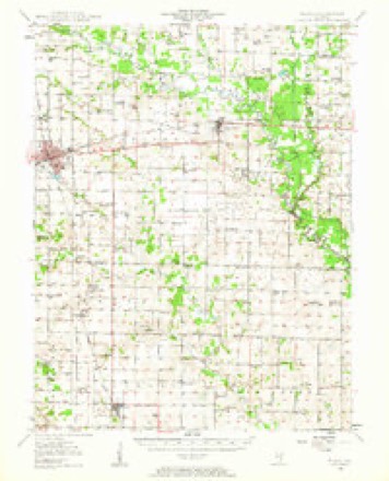
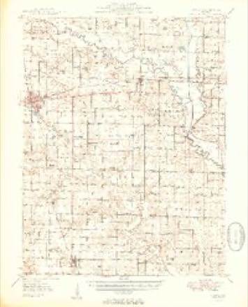
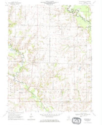
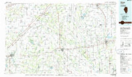
10 topographic sheets cover this place, the earliest surveyed in 1948 and the latest in 1986. It stands in Elm River Township. It lies in ZIP code area 62823. It stands on Endsley Creek. The Survey maps it on the Enterprise quadrangle.
Topographic sheets covering this place
6 surveys from 10 printed sheetsMatched by testing this settlement's coordinate against the published boundary of every sheet in the United States Geological Survey's historical collection. Each opens the scanned sheet at the Survey.
- 1948 USGS Flora quadrangle1:62500
- 1949 USGS Flora quadrangle1:62500, 2 printings
- 1958 USGS Belleville quadrangle1:250000, 3 printings
- 1962 USGS Belleville quadrangle1:250000
- 1970 USGS Enterprise quadrangle1:24000
- 1986 USGS Olney quadrangle1:100000, 2 printings


Storms near this place
5 since 1999Regional context, not property-specific evidence. The National Weather Service names Enterprise in 5 storm reports between 1999 and 2025: 2 flash flood, 1 flood, 1 hail, 1 tornado. No death or injury is recorded in these reports. Each account below is quoted exactly as the forecast office filed it, from the NOAA Storm Events Database, and each date opens the federal record of that event.
| When | Event | Place named | Harm | What the report says |
|---|---|---|---|---|
| March 2009 | Tornado (EF2) | Enterprise | $90,000 | Several structures were damaged. Half of the roof was blown off one house. A well-built storage barn was blown into another house. Debris was blown several hundred yards. Debris from a house impacted a second house 250 yards away. The second house had only minor structural damage. A large metal barn partially caved in when a small grain elevator blew onto it. Peak winds were estimated near 122 mph. The tornado crossed into Clay County. |
| July 2025 | Flash Flood | Enterprise | - | A report was submitted via mPING of flash flooding on County Rd 1900E. |
| October 2017 | Flash Flood | Enterprise | - | Water was over U.S. Highway 45 north of Jeffersonville. State road crews were on the scene for traffic control. Water covered three-quarters of County Road 510 for approximately one-quarter of a mile. Water was also across a street on the west end of Wayne City. The four-hour rainfall amount from 4 A.M. to 8 A.M. was slightly over four inches at Wayne City. |
| May 2003 | Hail | Enterprise | - | no account filed |
| June 1999 | Flood | Enterprise | - | no account filed |
Nearest settlements
The eight closest, with where each one stands in the county. Distances are straight-line, computed from the Geographic Names Information System coordinates.
| Map | Place | Distance | Sheets |
|---|---|---|---|
| Cisne | 4.3 miles | 10 | |
| Geff | 6.0 miles | 8 | |
| Rinard | 6.6 miles | 10 | |
| Mount Erie | 6.7 miles | 10 | |
| Blue Point | 7.1 miles | 10 | |
| Fairfield Estates | 9.5 miles | 8 | |
| Toms Prairie | 9.5 miles | 8 | |
| Johnsonville | 9.5 miles | 10 |
Provenance
This settlement is recorded in the Geographic Names Information System as feature 408038. The sheet list is computed by point-in-boundary test against the United States Geological Survey's historical topographic inventory. Both are works of the United States government and carry no copyright under 17 U.S.C. 105.
Storms. NOAA National Centers for Environmental Information, Storm Events Database https://www.ncei.noaa.gov/stormevents/ A work of the United States government, no copyright under 17 U.S.C. 105. Narratives are quoted verbatim from the National Weather Service report and are not edited or summarised.