 Block
Ferris, Illinois
14 topographic sheets cover this place, the earliest surveyed in 1933 and the latest in 1990. It stands in Rock Creek Township. It lies in ZIP code area 62336. The Survey maps it on the Carthage West quadrangle. 127 people lived here at the 2020 count.
Population over time
2 figuresFerris fell from 156 to 127 between 2010 and 2020. These are the recorded population figures Wikidata holds for this place, reached through the Geographic Names Information System number this page is keyed on rather than by name, so they belong to this place and not to another of the same name. Most are census counts, but not all are: an early figure may be a founding or settlement estimate, and an estimate published within five years of a census is left out. The change column is computed, and is left blank where more than 20 years separate a figure from the one before it, because a gap that long is not a change between two counts.
| Year | People | Change |
|---|---|---|
| 2010 | 156 | |
| 2020 | 127 | -29 (-19%) |
Topographic sheets covering this place
8 surveys from 14 printed sheetsMatched by testing this settlement's coordinate against the published boundary of every sheet in the United States Geological Survey's historical collection. Each opens the scanned sheet at the Survey.
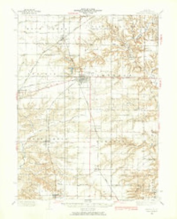
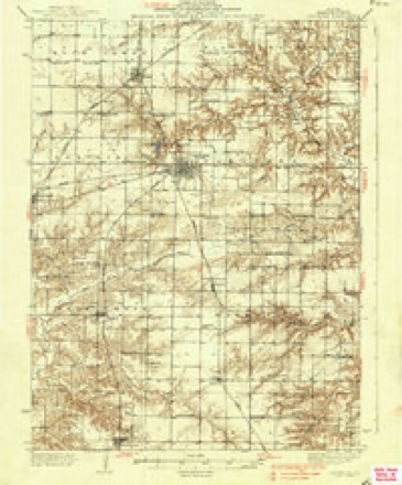
- 1933 USGS Carthage quadrangle1:62500
- 1937 USGS Carthage quadrangle1:62500, 2 printings
- 1958 USGS Burlington quadrangle1:250000, 4 printings
- 1961 USGS Burlington quadrangle1:250000
- 1963 USGS Burlington quadrangle1:250000
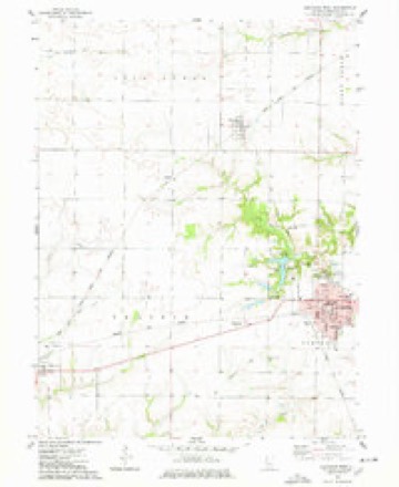
- 1974 USGS Carthage West quadrangle1:24000
- 1986 USGS Keokuk quadrangle1:100000, 2 printings
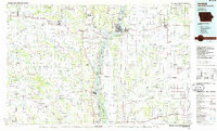
- 1990 USGS Burlington quadrangle1:250000, 2 printings




In the county-history sources
9,225 words on this townshipHistory of Hancock County, Illinois, Together with an Outline History of the State, and a Digest of State Laws, published 1880 names this settlement in its chapter on Rock Creek Township. These are the passages that mention it, exactly as the scans read.
This township, 6-7, as elsewhere stated, is all prairie laad. Larry's creek, emptying into the Mississippi, and Kock creek and Pilot Grove creek emptying into Crooked creek, all head within its limits, and yet none of them have any timber. It contains about three miles of the T., P. & W. across its southeast corner, and six miles of the C, B. & Q., on a due north line. The villages of Ferris and Adrian are two pleasant little places witliin its limits. The first laid out, June, 1869, by Charles G. Gilchrist and Hiram G. Ferris, is at the crossing of the T., P. & W. and C, B. & Q. roads.
Passage source: History of Hancock County, Illinois, Together with an Outline History of the State, and a Digest of State Laws, published 1880.
Our information of Church matters in this township is very limited. There is a Methodist church edifice and society at Adrian, number of members not stated ; and one, if not more churches and societies, at Ferris, of which we have no account.
Passage source: History of Hancock County, Illinois, Together with an Outline History of the State, and a Digest of State Laws, published 1880.
Charles Ahhott, being an earlier settler of the "West, deserves more than a passing notice in a work like this. He was born in Lorain county, Ohio, Dec. 8, 1833, and is a son of Orlan and Lucinda Abbott; he came with his parents to Schuyler county, 111., in 1840, and to this county in 1844; at that time wild animals were numerous; he saw at one time sixty deer in a single drove. Mr. Abbott was reared on a farm and educated in a subscription school. When they first located in Illinois there were no schools of any character within his reacli; he attended the academy at Carthage about eight months, but in the main he is a self-made man. He has taught school for eighteen winters, farming in the summer. He was married in 1850 to Miss Nancy J. Jones, a native of Tennessee; they have had 11 children, of whom 6 boys and 3 girls are living. Mr. Abbott also owns an agricultural store in Ferris, in which he keeps all kinds of agricultural implements, and is doing a good business. His brother George was a soldier in the late war; his father resides in Jefferson county, Kansas, at the age of 75 years.
Passage source: History of Hancock County, Illinois, Together with an Outline History of the State, and a Digest of State Laws, published 1880.
Machine-read from a century-old scan, so expect the errors a machine makes: misspelled names, dropped words, stray characters.
Read the whole chapter on Rock Creek Township - it names this place 7 more 7 times.
Fires near this place
2 since 2003Regional context, not property-specific evidence. The federal wildfire occurrence database lists 2 fires within 5 miles of Ferris between 2003 and 2004, burning about 3 acres in total. 1 started naturally. None was recorded as arson. Distance is straight-line from the map coordinates, so a fire counted here may appear on a neighbouring settlement's page as well.
| Reported cause | Fires |
|---|---|
| Missing data/not specified/undetermined | 1 |
| Natural | 1 |
The most recent of them, most recent first, with the day each was reported and the service that recorded it.
| Date | Cause | Size | Reported by | Name on the report |
|---|---|---|---|---|
| 24 May 2004 | Natural | under an acre | Illinois State Fire Marshal's Office | not named |
| 19 October 2003 | Missing data/not specified/undetermined | 2.5 acres | Illinois State Fire Marshal's Office | not named |
Settlements close enough to share some of these fires:
Mines and quarries near this place
4 within 5 milesRegional context, not property-specific evidence. The federal mineral resources record lists 4 workings within 5 miles of Ferris: 3 past producers, 1 plant. 1 still produces. What was taken out: Stone, Stone, Crushed/Broken, Sand and Gravel, Construction. Distance is straight-line from the map coordinates, so a quarry counted here may appear on a neighbouring settlement's page as well.
| Where | Site | Commodity | Status | Recorded |
|---|---|---|---|---|
| Mo-Mac Quarry & Mill | Stone, Crushed/Broken | Plant | ||
| Wright Pit | Sand and Gravel, Construction | Past Producer | ||
| Carthage City Pit | Stone | Past Producer | ||
| Hancock City Pit | Stone | Past Producer |
Storms near this place
11 since 1999Regional context, not property-specific evidence. The National Weather Service names Ferris in 11 storm reports between 1999 and 2023: 6 thunderstorm wind, 3 hail, 1 funnel cloud, 1 lightning. The reports record 2 injuries. Each account below is quoted exactly as the forecast office filed it, from the NOAA Storm Events Database, and each date opens the federal record of that event.
| When | Event | Place named | Harm | What the report says |
|---|---|---|---|---|
| June 2023 | Thunderstorm Wind | Ferris | 2 hurt | Roof ripped off mobile home, 2 injuries per emergency management. |
| June 2010 | Lightning | Ferris | $5,000 | A car was struck by lightning on Highway 94 about 5 miles north of Carthage, IL at 610 pm. The car was disabled. |
| June 2023 | Thunderstorm Wind | Ferris | - | Several power poles snapped near base, with estimated winds of 120 mph. |
| June 2023 | Thunderstorm Wind | Ferris | - | Several trees were across roadway. |
| May 2018 | Hail | Ferris | - | A trained spotter reported pea to dime sized hail. |
| May 2018 | Hail | Ferris | - | A trained spotter reported hail up to 1 inch in diameter. |
| June 2014 | Thunderstorm Wind | Ferris | - | Several trees were broken off above the base with some smaller trees uprooted, up to a foot in diameter. Larger limbs were broken off of a soft wood maple tree. A weather instrument nearby reported a peak wind gust of 56 mph. |
| June 2014 | Thunderstorm Wind | Ferris | - | Tree branches of unknown diameter blown down. |
| March 2016 | Hail | Ferris | - | no account filed |
| September 2003 | Funnel Cloud | Ferris | - | no account filed |
| June 1999 | Thunderstorm Wind | Ferris | - | no account filed |
Nearest settlements
The eight closest, with where each one stands in the county. Distances are straight-line, computed from the Geographic Names Information System coordinates.
Elsewhere
Matched on this settlement's Geographic Names Information System number rather than its name, so it cannot be a different place of the same name in another state.
| Wikipedia article on Ferris | An encyclopaedic summary. Its text is share-alike, so it is linked here rather than copied. |
| Wikidata item Q919923 | The structured record the population and elevation above come from. Public domain (CC0). |
Provenance
This settlement is recorded in the Geographic Names Information System as feature 408343. The sheet list is computed by point-in-boundary test against the United States Geological Survey's historical topographic inventory. Both are works of the United States government and carry no copyright under 17 U.S.C. 105.
Wildfire. Short, Karen C. 2022. Spatial wildfire occurrence data for the United States, 1992-2020 [FPA_FOD_20221014]. 6th Edition. Fort Collins, CO: Forest Service Research Data Archive. https://doi.org/10.2737/RDS-2013-0009.6 Collected with United States Government funding and usable without additional permissions or fees.
Mines and quarries. USGS Mineral Resources Data System (MRDS) https://mrdata.usgs.gov/mrds/ A work of the United States government, no copyright under 17 U.S.C. 105.
Storms. NOAA National Centers for Environmental Information, Storm Events Database https://www.ncei.noaa.gov/stormevents/ A work of the United States government, no copyright under 17 U.S.C. 105. Narratives are quoted verbatim from the National Weather Service report and are not edited or summarised.