 Block
Elvaston, Illinois
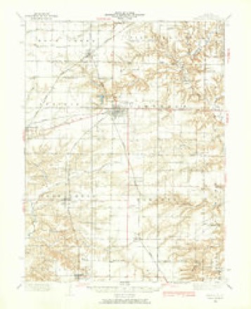
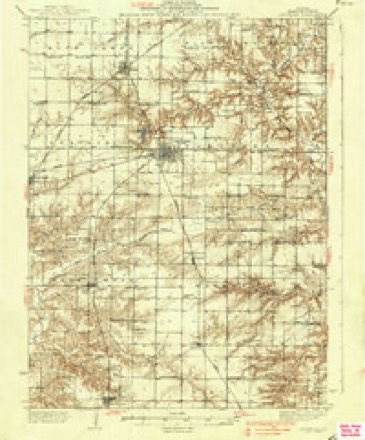
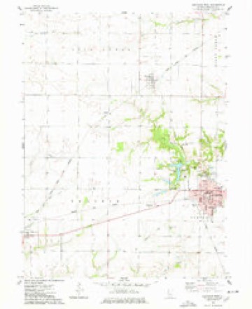
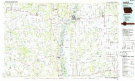
14 topographic sheets cover this place, the earliest surveyed in 1933 and the latest in 1990. It stands in Prairie Township. It lies in ZIP code area 62334. The Survey maps it on the Carthage West quadrangle. 147 people lived here at the 2020 count. It stands 659 feet above sea level.
Population over time
2 figuresElvaston fell from 165 to 147 between 2010 and 2020. These are the recorded population figures Wikidata holds for this place, reached through the Geographic Names Information System number this page is keyed on rather than by name, so they belong to this place and not to another of the same name. Most are census counts, but not all are: an early figure may be a founding or settlement estimate, and an estimate published within five years of a census is left out. The change column is computed, and is left blank where more than 20 years separate a figure from the one before it, because a gap that long is not a change between two counts.
| Year | People | Change |
|---|---|---|
| 2010 | 165 | |
| 2020 | 147 | -18 (-11%) |
Topographic sheets covering this place
8 surveys from 14 printed sheetsMatched by testing this settlement's coordinate against the published boundary of every sheet in the United States Geological Survey's historical collection. Each opens the scanned sheet at the Survey.
- 1933 USGS Carthage quadrangle1:62500
- 1937 USGS Carthage quadrangle1:62500, 2 printings
- 1958 USGS Burlington quadrangle1:250000, 4 printings
- 1961 USGS Burlington quadrangle1:250000
- 1963 USGS Burlington quadrangle1:250000
- 1974 USGS Carthage West quadrangle1:24000
- 1986 USGS Keokuk quadrangle1:100000, 2 printings
- 1990 USGS Burlington quadrangle1:250000, 2 printings




In the county-history sources
7,131 words on this townshipHistory of Hancock County, Illinois, Together with an Outline History of the State, and a Digest of State Laws, published 1880 names this settlement in its chapter on Prairie Township. These are the passages that mention it, exactly as the scans read.
This township, 5 - 6, is, as its name implies, all prairie land, excepting about two sections of dwarf woodland on the breaks of Long creek. Lying so far inland, it was not settled as early as those portions of the county nearer the borders; but later it began to fill up with enterprising farmers, and has now become one of the best improved townships in the county. It is favored with more railroad line than any other township. It has the T., W. & W. running across it from Elvaston to Carthage, six miles; about the same length of the T., P. & W"., northeastwardly; and fully seven miles of the Q., C. & B. running southwardly. There is no point in the township, except its extreme northwest corner, that is more than two miles from one of these roads.
Passage source: History of Hancock County, Illinois, Together with an Outline History of the State, and a Digest of State Laws, published 1880.
At Elvaston there are two or three Church organizations, each with small but neat and substantial church edifices. The Presbyterian and the M. E. societies have been organized ten or twelve years, and have now regular services and good and increasing congregations.
Passage source: History of Hancock County, Illinois, Together with an Outline History of the State, and a Digest of State Laws, published 1880.
Ann (Thome) Boiide, the first a native of Lancaster, Pa., whose father was Joseph Boude, a native of France, and reared in England. He came to America in 1740. Ann (Thome) Boude was a native of Scotland, and was married at Marietta, Pa. Her husband, a farmer, died in Brown county, O., and she died at the residence of one of her children in Bracken county, Ky. The subject of this sketch was educated in the public schools of Ohio and at the Academy' of Chillicothe, O. He commenced his medical studies at the age of 21 with Dr. Mackie, of Augusta, Ky., remaining with him about four 3'ears, attending one course of lectures at Lexington, Ky., and one at Philadelphia, Pa., also practicing ^\nth the Doctor the latter part of this four years. In 1826 he moved to Felicity, O., where he practiced medicine 15 years. May 20, 1821:, he married Martha B. Sharpe, a daughter of Thomas Sharpe, of Bracken county, Ky., and formerly of Maryland. Dr. B. came to this county April 8, 1854, locating on sec. 14, this tp., where he has resided to the present On settling here he bought 480 acres of land, a part of which he has since given to his sons, so that now the homestead consists of 187 acres. The improvements on this place were mostly' made by the Doctor. His children are Mary A.,. John Knox, Edgar Austin and Charles Eugene, besides 2 deceased; Thomas, who died in infancy, in Felicity, O., and Euphrasia J., who died at the age of 17, at Oxfoi'd, Butler county, O., where the Doctor resided 12 years. The first 10 years of his residence in this county the Doctor followed his profession, but since then has devoted his attention to farming, in which he has been quite successful. One season he raised 1,800 pounds of honey. Mrs. Boude died Sept. 11, 1875, a member of the Presbyterian Church, and was laid at rest in the cemetery at Carthage. Dr. B. was formerly a Whig, but is now a Republican. He is also a member of the Presbyterian Church, which relation he has now held for 50 years. William Clark, farmer, sec. 18; P. O., Elvaston; was born in Adams county, O., in 1823. His parents, John and Elizabeth (Gall) Clark, were natives of Ireland and Virginia, who settled in Ohio, where they both died. The subject of this sketch came to Illinois in 1847, and located on a farm in Peoria county. In 1863 he moved to this county and settled on his present estate of 100 acres, valued at $50 per acre. Mr. C. has never been married. He is a man of unostentatious manners, and follows a quiet, unobtrusive life in the enjoyment of his home, which is properly carried on by a sister. Politically he was a strong abolitionist, and now is an earnest advocate of Republican administration.
Passage source: History of Hancock County, Illinois, Together with an Outline History of the State, and a Digest of State Laws, published 1880.
Machine-read from a century-old scan, so expect the errors a machine makes: misspelled names, dropped words, stray characters.
Read the whole chapter on Prairie Township - it names this place 9 more 9 times.
Fires near this place
2 since 2003Regional context, not property-specific evidence. The federal wildfire occurrence database lists 2 fires within 5 miles of Elvaston between 2003 and 2004, burning about 2 acres in total. None started naturally. None was recorded as arson. Distance is straight-line from the map coordinates, so a fire counted here may appear on a neighbouring settlement's page as well.
| Reported cause | Fires |
|---|---|
| Equipment and vehicle use | 1 |
| Missing data/not specified/undetermined | 1 |
The most recent of them, most recent first, with the day each was reported and the service that recorded it.
| Date | Cause | Size | Reported by | Name on the report |
|---|---|---|---|---|
| 6 April 2004 | Missing data/not specified/undetermined | 1.0 acres | Illinois State Fire Marshal's Office | not named |
| 30 October 2003 | Equipment and vehicle use | 1.0 acres | Illinois State Fire Marshal's Office | not named |
Settlements close enough to share some of these fires:
Storms near this place
7 since 1998Regional context, not property-specific evidence. The National Weather Service names Elvaston in 7 storm reports between 1998 and 2018: 3 thunderstorm wind, 2 hail, 1 tornado, 1 flash flood. No death or injury is recorded in these reports. Each account below is quoted exactly as the forecast office filed it, from the NOAA Storm Events Database, and each date opens the federal record of that event.
| When | Event | Place named | Harm | What the report says |
|---|---|---|---|---|
| June 2011 | Flash Flood | Elvaston | $100,000 | Heavy rains lead to some flash flooding in Elvaston, IL during the morning of June 15. The flood water was over 3 feet deep. A home and two vehicles were flooded. |
| April 2008 | Tornado (EF0) | Elvaston | $30,000 | An EF0 tornado briefly touched down just northeast of Elvaston. One residence sustained roof and tree damage, as well as damage to a garage door. Time estimated. |
| April 1998 | Thunderstorm Wind | Elvaston | $500 | no account filed |
| June 2018 | Thunderstorm Wind | Elvaston | - | Power lines were blown down in Evalston. |
| June 2018 | Thunderstorm Wind | Elvaston | - | Social media report of a large tree limb blown down. |
| April 2014 | Hail | Elvaston | - | In addition to the hail, the trained spotter also reported heavy rain and frequent lightning. |
| August 2001 | Hail | Elvaston | - | General public reported 1 inch hail |
Nearest settlements
The eight closest, with where each one stands in the county. Distances are straight-line, computed from the Geographic Names Information System coordinates.
| Map | Place | Distance | Sheets |
|---|---|---|---|
| Hamilton | 4.7 miles | 16 | |
| McCall | 4.9 miles | 14 | |
| Elderville | 5.1 miles | 16 | |
| Basco | 5.3 miles | 14 | |
| Carthage | 6.2 miles | 14 | |
| Ferris | 6.6 miles | 14 | |
| Bentley | 8.1 miles | 14 | |
| Sonora (historical) | 8.8 miles | 16 |
Elsewhere
Matched on this settlement's Geographic Names Information System number rather than its name, so it cannot be a different place of the same name in another state.
| Wikipedia article on Elvaston | An encyclopaedic summary. Its text is share-alike, so it is linked here rather than copied. |
| Wikidata item Q2666704 | The structured record the population and elevation above come from. Public domain (CC0). |
Provenance
This settlement is recorded in the Geographic Names Information System as feature 407972. The sheet list is computed by point-in-boundary test against the United States Geological Survey's historical topographic inventory. Both are works of the United States government and carry no copyright under 17 U.S.C. 105.
Wildfire. Short, Karen C. 2022. Spatial wildfire occurrence data for the United States, 1992-2020 [FPA_FOD_20221014]. 6th Edition. Fort Collins, CO: Forest Service Research Data Archive. https://doi.org/10.2737/RDS-2013-0009.6 Collected with United States Government funding and usable without additional permissions or fees.
Storms. NOAA National Centers for Environmental Information, Storm Events Database https://www.ncei.noaa.gov/stormevents/ A work of the United States government, no copyright under 17 U.S.C. 105. Narratives are quoted verbatim from the National Weather Service report and are not edited or summarised.