 Block
Galatia, Illinois
19 topographic sheets cover this place, the earliest surveyed in 1908 and the latest in 1987. It stands in Galatia Township. It lies in ZIP code area 62935. It stands on Gassaway Branch. The Survey maps it on the Galatia quadrangle. 827 people lived here at the 2020 count. It stands 417 feet above sea level.
Population over time
2 figuresGalatia fell from 933 to 827 between 2010 and 2020. These are the recorded population figures Wikidata holds for this place, reached through the Geographic Names Information System number this page is keyed on rather than by name, so they belong to this place and not to another of the same name. Most are census counts, but not all are: an early figure may be a founding or settlement estimate, and an estimate published within five years of a census is left out. The change column is computed, and is left blank where more than 20 years separate a figure from the one before it, because a gap that long is not a change between two counts.
| Year | People | Change |
|---|---|---|
| 2010 | 933 | |
| 2020 | 827 | -106 (-11%) |
Topographic sheets covering this place
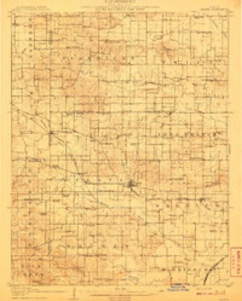
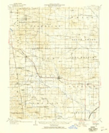
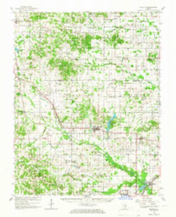
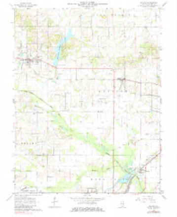
12 surveys from 19 printed sheetsMatched by testing this settlement's coordinate against the published boundary of every sheet in the United States Geological Survey's historical collection. Each opens the scanned sheet at the Survey.
- 1908 USGS Galatia quadrangle1:62500, 2 printings
- 1938 USGS Galatia quadrangle1:62500
- 1949 USGS Paducah quadrangle1:250000, 2 printings
- 1950 USGS Paducah quadrangle1:250000
- 1954 USGS Paducah quadrangle1:250000, 2 printings
- 1961 USGS Paducah quadrangle1:250000, 2 printings
- 1963 USGS Galatia quadrangle1:62500, 2 printings
- 1963 USGS Galatia quadrangle1:24000, 2 printings
- 1964 USGS Paducah quadrangle1:250000, 2 printings
- 1984 USGS West Frankfort quadrangle1:100000
- 1987 USGS Paducah quadrangle1:250000
- 1987 USGS West Frankfort quadrangle1:100000






Fires near this place
11 since 2009Regional context, not property-specific evidence. The federal wildfire occurrence database lists 11 fires within 5 miles of Galatia in 2009, burning about 1,039 acres in total. None started naturally. None was recorded as arson. Distance is straight-line from the map coordinates, so a fire counted here may appear on a neighbouring settlement's page as well.
| Reported cause | Fires |
|---|---|
| Missing data/not specified/undetermined | 5 |
| Debris and open burning | 4 |
| Power generation/transmission/distribution | 1 |
| Equipment and vehicle use | 1 |
The most recent of them, most recent first, with the day each was reported and the service that recorded it.
| Date | Cause | Size | Reported by | Name on the report |
|---|---|---|---|---|
| 9 March 2009 | Missing data/not specified/undetermined | 4.0 acres | Illinois Division of Forestry Resources | GALATIA4 |
| 9 March 2009 | Missing data/not specified/undetermined | 3.0 acres | Illinois Division of Forestry Resources | AMERICAN |
| 7 March 2009 | Missing data/not specified/undetermined | 2.0 acres | Illinois Division of Forestry Resources | GALATIA2 |
| 5 March 2009 | Equipment and vehicle use | 1,000 acres | Illinois Division of Forestry Resources | MASSEY |
| 5 March 2009 | Missing data/not specified/undetermined | 5.0 acres | Illinois Division of Forestry Resources | TATE |
| 4 March 2009 | Debris and open burning | 10 acres | Illinois Division of Forestry Resources | COTTON |
| 23 February 2009 | Debris and open burning | 6.0 acres | Illinois Division of Forestry Resources | HERREN |
| 9 November 2009 | Debris and open burning | 6.0 acres | Illinois Division of Forestry Resources | WILSON |
Settlements close enough to share some of these fires:
Storms near this place
34 since 1996Regional context, not property-specific evidence. The National Weather Service names Galatia in 34 storm reports between 1996 and 2023: 13 thunderstorm wind, 10 hail, 3 flash flood, 3 flood. The reports record 5 injuries. Each account below is quoted exactly as the forecast office filed it, from the NOAA Storm Events Database, and each date opens the federal record of that event.
| When | Event | Place named | Harm | What the report says |
|---|---|---|---|---|
| April 2002 | Tornado (F2) | Galatia | 3 hurt, $3,500,000 | The tornado struck Galatia directly, damaging about 55 structures and destroying several. Peak winds were estimated between 120 and 130 MPH. The roof of a car wash was blown off, and then the walls collapsed on a police cruiser that was sheltered there. A coal mine sustained a quarter million dollars in damage. Two persons were injured in an overturned trailer. Two brick homes lost their roofs and some walls. |
| January 2013 | Tornado (EF2) | Galatia | 2 hurt, $200,000 | One home was destroyed. The home was unroofed, and three out of four exterior walls collapsed. Several homes sustained roof damage, including roof decking. Windows were blown out of at least one house. A poorly constructed garage and an awning were destroyed. A machine shed was levelled, and the doors were blown out of another one. One home lost a brick chimney. A hay bale feeder was thrown 250 yards. Huge trees up to 14 feet in circumference were uprooted and snapped. There was an eyewitness to the funnel cloud. One person was critically injured by a large tree which fell on his mobile home, trapping him inside. Another person received minor injuries. The average path width was 100 yards. Peak winds were estimated near 115 mph. |
| March 2008 | Flood | Galatia | $16,800,000 | Over 16 million dollars in damage occurred to homes and businesses in Harrisburg due to disastrous flooding. Five homes and one business were considered destroyed. At least 30 homes and 44 businesses had water over the first floor. All three of the supermarkets in the city were closed due to flooding. Eighteen homes and three businesses reported water in the basement, though many others likely did not report basement flooding. About 300 residents of the city were evacuated, many to a Red Cross shelter. Emergency personnel evacuated at least one family from flooded areas outside the city. Many streets were closed in Harrisburg. U.S. Highway 45 was closed for days. Significant damage occurred to roads countywide. Four feet of water covered the basement of a church in Carrier Mills. Access to the local Harrisburg hospital was blocked by floodwaters, closing it for a short time. In Carrier Mills, 17 homes were flooded, five more had flooded basements, and vehicles and sheds were submerged. A major problem in Carrier Mills was contamination of the wells that supply public drinking water. Residents were urged to boil water before using it. Utilities were shut off to the hardest hit flood zones. A makeshift levee about seven feet tall was constructed on State Route 34 to protect parts of Harrisburg from renewed flooding of the Saline River. The levee worked, even though a vehicle drove through barricades and struck the levee. The main water line to Galatia broke, and residents were urged to boil their water. Near Stonefort, a railway was washed out. About 100 basements were flooded in Eldorado. |
| June 2007 | Thunderstorm Wind | Galatia | $125,000 | Extensive wind damage occurred in northwest and north central Saline County. A carport was blown on top of a mobile home. The wall of the mobile home was punctured by the carport. A large tree limb landed on the mobile home. Parts of a metal roof were peeled off another home. A large number of trees were down through the area. One tree landed on a pickup truck. Approximately 20 trees were uprooted or snapped in and around a cemetery. Some of the trees were greater than two feet in diameter. There was damage to cemetery buildings, including a chapel, gazebo, and outbuilding. Window panes were blown out of an adjacent church built in 1906, and cross beams were broken around the bell tower. A moving vehicle struck a downed tree at least 2 feet in diameter on Route 34. The driver was taken to a local hospital for a leg injury. The pattern and orientation of the damage suggested downburst winds. |
| August 2019 | Hail | Galatia | $100,000 | A narrow swath of very large hail up to 3.5 inches in diameter occurred across northern Saline County. The biggest hailstone was photographed alongside a ruler. The biggest hailstones and associated damage were in farmland just north of the communities of Galatia and Raleigh. Two roofs were damaged 3.5 miles north-northwest of Galatia. A truck roof was dented, and there were some minor dents in cars. A window was broken out of a tractor cab. A few lights were knocked out. Some crop damage occurred north of Galatia. A local emergency manager and insurance agent confirmed that damage reports were scant. This may be attributable to the very sparse population of the area. Another possibility is that the very large hailstones were few in number compared to a prolific amount of small hail. |
| June 2018 | Thunderstorm Wind | Galatia | $50,000 | Widespread wind damage occurred across the county. Numerous trees and power lines were down, causing widespread power outages. A large tree blocked Route 34, and a sign was blown apart at the Harrisburg-Raleigh Airport. |
| April 2015 | Thunderstorm Wind | Galatia | $35,000 | Damaging winds swept across northern Saline County. In Galatia, large tree limbs were blown down. In Raleigh, law enforcement personnel estimated a wind gust of 65 to 70 mph downed a tree. In Eldorado, a tree was down on a trailer home. |
| July 2016 | Thunderstorm Wind | Galatia | $25,000 | Trees were down on homes, with damage reported. There were local power outages. |
| April 2014 | Flood | Galatia | $20,000 | As a result of heavy rain over the previous 24 hours, many roads were still underwater, including portions of U.S. Highway 45. Several vehicles were abandoned. Some homes were evacuated. |
| July 2023 | Thunderstorm Wind | Galatia | $5,000 | Several large limbs were down. A large oak tree was down on a driveway. |
| September 2012 | Thunderstorm Wind | Galatia | $3,000 | Three trees were down on Highway 34. |
| June 2010 | Thunderstorm Wind | Galatia | $3,000 | Trees were blown down. |
| July 1997 | Thunderstorm Wind | Galatia | $3,000 | Power lines were downed. |
| May 2023 | Hail | Galatia | - | Dime to nickel-size hail fell from Galatia to Raleigh. |
| May 2018 | Flood | Galatia | - | Flooding was reported along Highway 34. |
| September 2011 | Heavy Rain | Galatia | - | A trained spotter measured a storm-total rainfall of 4.5 inches since the evening of the 24th. |
| July 2010 | Thunderstorm Wind | Galatia | - | A wind gust was estimated by a trained spotter near 60 mph. |
| May 2010 | Heavy Rain | Galatia | - | Minor flooding occurred on Highway 34 north of Galatia. |
| May 2008 | Flash Flood | Galatia | - | A spotter measured 1.4 inches of rain in 20 minutes. Up to 6 inches of water was running over Route 34. |
| April 2005 | Thunderstorm Wind | Galatia | - | A large tree was blown across Illinois Route 34 near the Franklin County line. Trees were down about 2.5 miles northwest of Harrisburg, blocking a road. Wind gusts were estimated near 60 MPH on the east side of Harrisburg. |
| June 2004 | Hail | Galatia | - | Quarter-size hail fell across northern Saline County, including on Route 34 near Galatia. |
| June 2004 | Hail | Galatia | - | Dime to nickel size hail was reported across northern and eastern Saline County. |
| April 2000 | Hail | Galatia | - | A severe thunderstorm tracked east from Williamson County into Saline County. Although the storm weakened over Saline County, nickel-size hail fell at Galatia. |
| April 2018 | Hail | Galatia | - | no account filed |
| April 2017 | Hail | Galatia | - | no account filed |
| September 2017 | Hail | Galatia | - | no account filed |
| March 2012 | Funnel Cloud | Galatia | - | no account filed |
| January 2008 | Hail | Galatia | - | no account filed |
| May 2004 | Flash Flood | Galatia | - | no account filed |
| May 2004 | Thunderstorm Wind | Galatia | - | no account filed |
| May 2004 | Thunderstorm Wind | Galatia | - | no account filed |
| April 2002 | Hail | Galatia | - | no account filed |
| May 1996 | Flash Flood | Galatia | - | no account filed |
| October 1996 | Thunderstorm Wind | Galatia | - | no account filed |
Nearest settlements
The eight closest, with where each one stands in the county. Distances are straight-line, computed from the Geographic Names Information System coordinates.
| Map | Place | Distance | Sheets |
|---|---|---|---|
| Long Branch | 3.5 miles | 19 | |
| Harco | 3.8 miles | 18 | |
| Raleigh | 4.2 miles | 19 | |
| New Hope | 5.3 miles | 18 | |
| Halltown (historical) | 5.6 miles | 18 | |
| Tison | 6.1 miles | 19 | |
| West End | 6.1 miles | 18 | |
| Dorris Heights | 7.0 miles | 20 |
Elsewhere
Matched on this settlement's Geographic Names Information System number rather than its name, so it cannot be a different place of the same name in another state.
| Wikipedia article on Galatia | An encyclopaedic summary. Its text is share-alike, so it is linked here rather than copied. |
| Wikidata item Q2672051 | The structured record the population and elevation above come from. Public domain (CC0). |
Provenance
This settlement is recorded in the Geographic Names Information System as feature 408842. The sheet list is computed by point-in-boundary test against the United States Geological Survey's historical topographic inventory. Both are works of the United States government and carry no copyright under 17 U.S.C. 105.
Wildfire. Short, Karen C. 2022. Spatial wildfire occurrence data for the United States, 1992-2020 [FPA_FOD_20221014]. 6th Edition. Fort Collins, CO: Forest Service Research Data Archive. https://doi.org/10.2737/RDS-2013-0009.6 Collected with United States Government funding and usable without additional permissions or fees.
Storms. NOAA National Centers for Environmental Information, Storm Events Database https://www.ncei.noaa.gov/stormevents/ A work of the United States government, no copyright under 17 U.S.C. 105. Narratives are quoted verbatim from the National Weather Service report and are not edited or summarised.