 Block
Gilberts, Illinois
20 topographic sheets cover this place, the earliest surveyed in 1925 and the latest in 1998. It stands in Rutland Township. It lies in ZIP code area 60136. The Survey maps it on the Elgin quadrangle. 8,366 people lived here at the 2020 count. It stands 902 feet above sea level.
On record in Gilberts
Buildings and businesses the archive holds for this place. Each opens its own page, with the source record it came from.
On the National Register 1 record
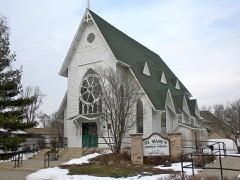 St. Mary's Church of Gilbertslisted 1992
Population over time
2 figuresGilberts grew from 6,879 to 8,366 between 2010 and 2020. These are the recorded population figures Wikidata holds for this place, reached through the Geographic Names Information System number this page is keyed on rather than by name, so they belong to this place and not to another of the same name. Most are census counts, but not all are: an early figure may be a founding or settlement estimate, and an estimate published within five years of a census is left out. The change column is computed, and is left blank where more than 20 years separate a figure from the one before it, because a gap that long is not a change between two counts.
| Year | People | Change |
|---|---|---|
| 2010 | 6,879 | |
| 2020 | 8,366 | +1,487 (+22%) |
Topographic sheets covering this place
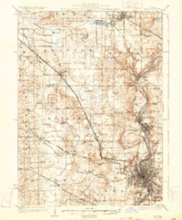
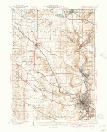
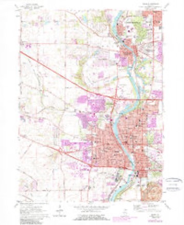
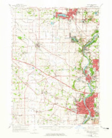
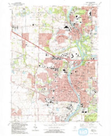
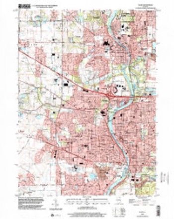
11 surveys from 20 printed sheetsMatched by testing this settlement's coordinate against the published boundary of every sheet in the United States Geological Survey's historical collection. Each opens the scanned sheet at the Survey.
- 1925 USGS Elgin quadrangle1:62500, 4 printings
- 1940 USGS Elgin quadrangle1:62500
- 1954 USGS Rockford quadrangle1:250000
- 1955 USGS Rockford quadrangle1:250000
- 1958 USGS Rockford quadrangle1:250000, 4 printings
- 1962 USGS Elgin quadrangle1:24000, 4 printings
- 1962 USGS Elgin quadrangle1:62500
- 1963 USGS Rockford quadrangle1:250000
- 1981 USGS Elgin quadrangle1:100000
- 1992 USGS Elgin quadrangle1:24000
- 1998 USGS Elgin quadrangle1:24000





In the county-history sources
689 words on this townshipHistory of Kane County, Ill., published 1908 names this settlement in its chapter on Rutland Township. These are the passages that mention it, exactly as the scans read.
The first church in Rutland township was erecteil by the Catholics, which was completed in 1855. The building stands on ground that was given to the church by Andrew Pingree. The first building was about two miles west of Gilberts at the old Catholic burying ground. The first priest in charge was Rev. John Guigin, a Frenchman. He was succeeded by Re\-. Scanlon. Father Gallaher was in charge for many years.
Passage source: History of Kane County, Ill., published 1908.
Machine-read from a century-old scan, so expect the errors a machine makes: misspelled names, dropped words, stray characters.
Read the whole chapter on Rutland Township - it names this place 1 more 1 time.
Mines and quarries near this place
3 within 5 milesRegional context, not property-specific evidence. The federal mineral resources record lists 3 workings within 5 miles of Gilberts: 3 past producers. None of them still produces. What was taken out: Sand and Gravel, Construction. Distance is straight-line from the map coordinates, so a quarry counted here may appear on a neighbouring settlement's page as well.
| Where | Site | Commodity | Status | Recorded |
|---|---|---|---|---|
| Hoffman Pit | Sand and Gravel, Construction | Past Producer | ||
| Schuetz Pit | Sand and Gravel, Construction | Past Producer | ||
| Steffen Brothers Pit | Sand and Gravel, Construction | Past Producer |
Storms near this place
7 since 2006Regional context, not property-specific evidence. The National Weather Service names Gilberts in 7 storm reports between 2006 and 2021: 3 thunderstorm wind, 2 hail, 1 lightning, 1 heavy rain. No death or injury is recorded in these reports. Each account below is quoted exactly as the forecast office filed it, from the NOAA Storm Events Database, and each date opens the federal record of that event.
| When | Event | Place named | Harm | What the report says |
|---|---|---|---|---|
| June 2010 | Lightning | Gilberts | $175,000 | Lightning struck a house on Manchester Lane causing a fire. The house was uninhabitable. |
| June 2017 | Thunderstorm Wind | Gilberts | $10,000 | A portion of a new gas station under construction was blown down near Route 20 and Nesler Road. |
| July 2021 | Thunderstorm Wind | Gilberts | - | A large tree was snapped at its base and fell onto a building and a covered patio near Technology Drive and Bushwood Drive. |
| May 2018 | Heavy Rain | Gilberts | - | Rainfall of 2.87 inches was measured in 70 minutes. |
| August 2008 | Thunderstorm Wind | Gilberts | - | A 12 to 18 inch diameter tree was blown down near Randall Road and Almora Terrace. |
| May 2006 | Hail | Gilberts | - | Reported near Big Timber Road west of Gilberts. |
| May 2018 | Hail | Gilberts | - | no account filed |
Nearest settlements
The eight closest, with where each one stands in the county. Distances are straight-line, computed from the Geographic Names Information System coordinates.
| Map | Place | Distance | Sheets |
|---|---|---|---|
| Binnie Lakes | 1.1 miles | 20 | |
| Binnie Hills | 1.3 miles | 20 | |
| Freeman | 1.7 miles | 17 | |
| Wildwood Valley | 2.8 miles | 20 | |
| The Landings | 2.9 miles | 18 | |
| McQueen | 2.9 miles | 17 | |
| Pingree Grove | 3.2 miles | 17 | |
| Highland Haven | 3.3 miles | 20 |
Elsewhere
Matched on this settlement's Geographic Names Information System number rather than its name, so it cannot be a different place of the same name in another state.
| Wikipedia article on Gilberts | An encyclopaedic summary. Its text is share-alike, so it is linked here rather than copied. |
| Wikidata item Q2578344 | The structured record the population and elevation above come from. Public domain (CC0). |
Provenance
This settlement is recorded in the Geographic Names Information System as feature 408999. The sheet list is computed by point-in-boundary test against the United States Geological Survey's historical topographic inventory. Both are works of the United States government and carry no copyright under 17 U.S.C. 105.
Mines and quarries. USGS Mineral Resources Data System (MRDS) https://mrdata.usgs.gov/mrds/ A work of the United States government, no copyright under 17 U.S.C. 105.
Storms. NOAA National Centers for Environmental Information, Storm Events Database https://www.ncei.noaa.gov/stormevents/ A work of the United States government, no copyright under 17 U.S.C. 105. Narratives are quoted verbatim from the National Weather Service report and are not edited or summarised.