 Block
Gorman, Illinois
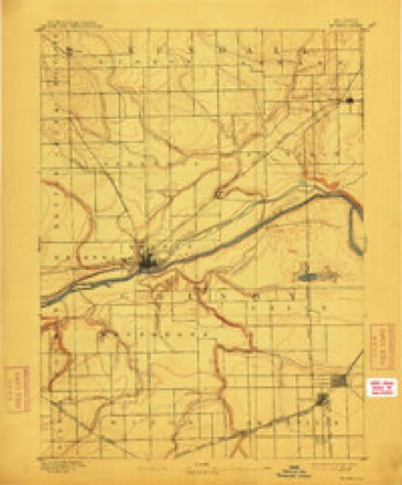
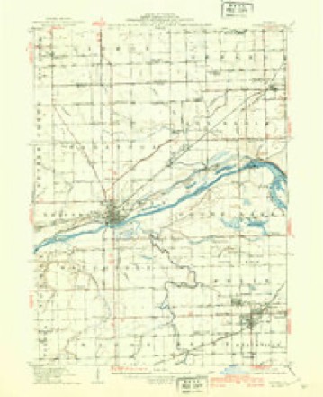
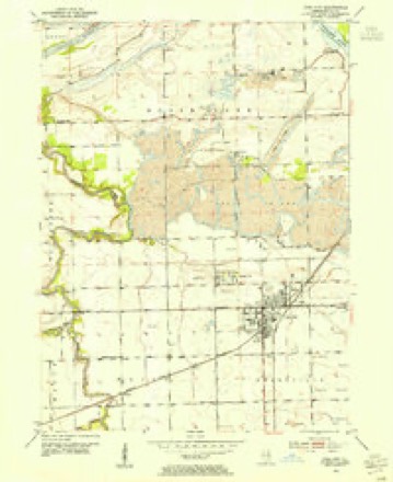
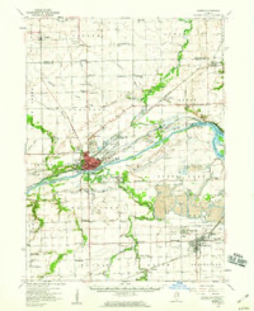
20 topographic sheets cover this place, the earliest surveyed in 1892 and the latest in 1993. It stands in Maine Township. It lies in ZIP code area 60444. It stands on West Fork Mazon River. The Survey maps it on the Coal City quadrangle.
Topographic sheets covering this place
9 surveys from 20 printed sheetsMatched by testing this settlement's coordinate against the published boundary of every sheet in the United States Geological Survey's historical collection. Each opens the scanned sheet at the Survey.
- 1892 USGS Morris quadrangle1:62500, 3 printings
- 1918 USGS Morris quadrangle1:62500, 3 printings
- 1953 USGS Coal City quadrangle1:24000, 5 printings
- 1954 USGS Morris quadrangle1:62500, 2 printings
- 1958 USGS Aurora quadrangle1:250000, 3 printings
- 1961 USGS Aurora quadrangle1:250000
- 1985 USGS Ottawa quadrangle1:100000
- 1991 USGS Ottawa quadrangle1:100000
- 1993 USGS Coal City quadrangle1:24000


In the county-history sources
16,283 words on this townshipHistorical Encyclopedia of Illinois /cedited by Newton Bateman, Paul Selby,; and History of Grundy County (historical and Biographical) by Special Authors and Contributors .., published 1914 names this settlement in its chapter on Maine Township. These are the passages that mention it, exactly as the scans read.
Mazon is not a manufacturing center, but owing to its shipping facilities there are two large elevators and a lumber yard locate. 1 here, all of which do a large business. The Mazon Farmers Elevator Company handles grain, seeds, lumber, coal and building materials. It is an incorporated company, with a capital stock of .$22,(100. and operates additional plants at Booth Station in .Mazon Township, and at, Gorman, just outside the township. The lumber company is now owned by the Mazon Farmers Elevator Company, hut for some years was operated under the name of I. X. R. Beatty Lumber Company. The beginning of this business lay in the formation of two separate concerns, one by Murray & Fuller, the Mr. Murray being the lather of Mr. L. It. Murray of Morris, and the other by M. S. Dewey. These two concerns were absorbed by the Alexander Lumber Company, and it in turn became the property of the T. X. R. Beatty Lumber Company of Morris.
Passage source: Historical Encyclopedia of Illinois /cedited by Newton Bateman, Paul Selby,; and History of Grundy County (historical and Biographical) by Special Authors and Contributors .., published 1914.
Machine-read from a century-old scan, so expect the errors a machine makes: misspelled names, dropped words, stray characters.
Fires near this place
11 since 2009Regional context, not property-specific evidence. The federal wildfire occurrence database lists 11 fires within 5 miles of Gorman between 2009 and 2018, burning about 159 acres in total. None started naturally. 1 was recorded as arson. Distance is straight-line from the map coordinates, so a fire counted here may appear on a neighbouring settlement's page as well.
| Reported cause | Fires |
|---|---|
| Missing data/not specified/undetermined | 9 |
| Arson/incendiarism | 1 |
| Debris and open burning | 1 |
The most recent of them, most recent first, with the day each was reported and the service that recorded it.
| Date | Cause | Size | Reported by | Name on the report |
|---|---|---|---|---|
| 31 August 2009 | Missing data/not specified/undetermined | 1.0 acres | Illinois Division of Forestry Resources | BRACE13 |
| 13 August 2009 | Missing data/not specified/undetermined | 1.0 acres | Illinois Division of Forestry Resources | BRACE12 |
| 5 May 2009 | Missing data/not specified/undetermined | under an acre | Illinois Division of Forestry Resources | BRACE10 |
| 29 May 2009 | Missing data/not specified/undetermined | 1.0 acres | Illinois Division of Forestry Resources | BRACE11 |
| 26 April 2009 | Missing data/not specified/undetermined | under an acre | Illinois Division of Forestry Resources | BRAACE8 |
| 11 April 2018 | Debris and open burning | under an acre | Illinois Division of Forestry Resources | 18-000183 |
| 5 March 2009 | Missing data/not specified/undetermined | 150 acres | Illinois Division of Forestry Resources | BRACE1 |
| 27 March 2009 | Arson/incendiarism | 3.0 acres | Illinois Division of Forestry Resources | BRACE6 |
Settlements close enough to share some of these fires:
Storms near this place
4 since 2008Regional context, not property-specific evidence. The National Weather Service names Gorman in 4 storm reports between 2008 and 2016: 3 tornado, 1 hail. No death or injury is recorded in these reports. Each account below is quoted exactly as the forecast office filed it, from the NOAA Storm Events Database, and each date opens the federal record of that event.
| When | Event | Place named | Harm | What the report says |
|---|---|---|---|---|
| June 2015 | Tornado (EF1) | Gorman | $50,000 | The tornado blew off a portion of the roof of a house and snapped a large tree. Peak winds were estimated at 95 mph. (Tornado 7 of 10). |
| May 2013 | Tornado (EF0) | Gorman | $5,000 | An EF0 tornado touched down northeast of Mazon near Reed Road, west of Higgins Road where a power pole was blown down. The tornado moved northeast and blew down part of a tree on Higgins Road just south of Spring Road. Three more power poles were blown down on Campbell Road. Doors were blown off an outbuilding nearby before the tornado dissipated west of Coal City. |
| June 2016 | Tornado (EF0) | Gorman | - | Around three tenths of a mile south of the intersection of County Rd 1000 S and S Tynan Rd, a small farm outbuilding collapsed and a large tree had been uprooted. The tornado moved off to the east-northeast and ended approximately six tenths of a mile southeast of the intersection of County Rd 1000 S and S Tynan Rd. Peak winds were estimated at 85 mph, and max width was 100 yards. (Tornado 11 of 15). |
| May 2008 | Hail | Gorman | - | Golf ball size hail was reported near Reed and Jugtown Roads. |
Nearest settlements
The eight closest, with where each one stands in the county. Distances are straight-line, computed from the Geographic Names Information System coordinates.
| Map | Place | Distance | Sheets |
|---|---|---|---|
| Centerville (historical) | 2.6 miles | 20 | |
| Harrisonville | 2.7 miles | 20 | |
| Carbon Hill | 3.3 miles | 20 | |
| Coal City | 3.5 miles | 20 | |
| Central City | 3.6 miles | 10 | |
| Mazon | 4.3 miles | 11 | |
| Eileen | 4.4 miles | 20 | |
| Braceville | 4.7 miles | 10 |
Provenance
This settlement is recorded in the Geographic Names Information System as feature 422746. The sheet list is computed by point-in-boundary test against the United States Geological Survey's historical topographic inventory. Both are works of the United States government and carry no copyright under 17 U.S.C. 105.
Wildfire. Short, Karen C. 2022. Spatial wildfire occurrence data for the United States, 1992-2020 [FPA_FOD_20221014]. 6th Edition. Fort Collins, CO: Forest Service Research Data Archive. https://doi.org/10.2737/RDS-2013-0009.6 Collected with United States Government funding and usable without additional permissions or fees.
Storms. NOAA National Centers for Environmental Information, Storm Events Database https://www.ncei.noaa.gov/stormevents/ A work of the United States government, no copyright under 17 U.S.C. 105. Narratives are quoted verbatim from the National Weather Service report and are not edited or summarised.