 Block
Mazon, Illinois
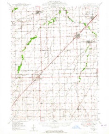
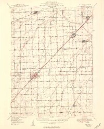
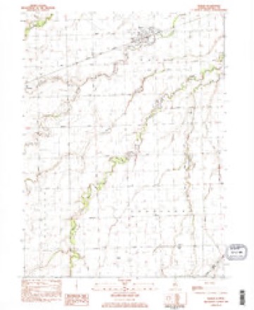
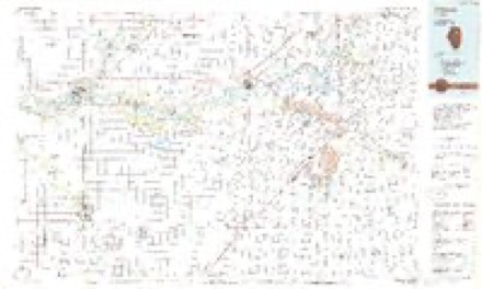
11 topographic sheets cover this place, the earliest surveyed in 1948 and the latest in 1991. It stands in Mazon Township. It lies in ZIP code area 60444. The Survey maps it on the Mazon quadrangle. 979 people lived here at the 2020 count. It stands 586 feet above sea level.
Population over time
2 figuresMazon fell from 1,015 to 979 between 2010 and 2020. These are the recorded population figures Wikidata holds for this place, reached through the Geographic Names Information System number this page is keyed on rather than by name, so they belong to this place and not to another of the same name. Most are census counts, but not all are: an early figure may be a founding or settlement estimate, and an estimate published within five years of a census is left out. The change column is computed, and is left blank where more than 20 years separate a figure from the one before it, because a gap that long is not a change between two counts.
| Year | People | Change |
|---|---|---|
| 2010 | 1,015 | |
| 2020 | 979 | -36 (-4%) |
Topographic sheets covering this place
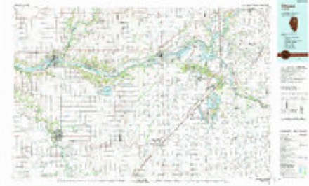
7 surveys from 11 printed sheetsMatched by testing this settlement's coordinate against the published boundary of every sheet in the United States Geological Survey's historical collection. Each opens the scanned sheet at the Survey.
- 1948 USGS Dwight quadrangle1:62500
- 1950 USGS Dwight quadrangle1:62500, 2 printings
- 1958 USGS Aurora quadrangle1:250000, 3 printings
- 1961 USGS Aurora quadrangle1:250000
- 1983 USGS Mazon quadrangle1:24000, 2 printings
- 1985 USGS Ottawa quadrangle1:100000
- 1991 USGS Ottawa quadrangle1:100000


What happened here
An account from the chapter on Mazon township. The inset identifies its exact source book and publication year.
Mazon Towjjship
Volunteer Infivntry, with which he continued until dischnrged at the close of the war. Took part in the battles of Stone River, Chickainaugua, Chattanooga, Mission Ridge and Dalton, and marched with Sherman to Atlanta, Ga.,where he was) wounded Julj- 20, 1864, after which he saw no more field service.
In the county-history sources
8,768 words on this townshipHistory of Grundy County, Illinois : Containing a History from the Earliest Settlement to the Present Time ... , Biographical Sketches, Portraits of Some of the Early Settlers, Prominent Men, Etc, published 1882 names this settlement in its chapter on Mazon Township. These are the passages that mention it, exactly as the scans read.
Carter came to Illinois from Ohio in Juue, 1851, and settled in Mazon Township, Grundy County. The family consists of ten children - Abraham Carter, born in Belmont Couutj-, Ohio, October 17, 1818, and died in Mazon Township, March 2, 1876; his wife, Margaret Ann (Preston) Carter, a native of Tuscarawas County, Ohio, born June 14, 1826, is now living with her sons on the old homestead, which is controlled by the eldest son, Melvin, who was born in Guernsej- County, Ohio, November 17, 1845 ; Sarah M., was born March 27, 1849, married to Alex Lee, November 11, 18G7 : Martha A., born October 21, 1851, died December 24, 1854 ; Lora and Flora were born March 29, 1854 - Lora E. was married, June 27, 1876, to George W. Satterlee. Flora B. married September 1, 1879, to Marion Mecham ; Amanda J., born August 27, 1857, married to El wood Randal, October 9, 1880 ; Douglas P., born June 29, 1860 ; William H., born February 6, 1863 ; Amos A., born JIarch 11, 1865 ; Frank B., born August 17, 1867. The Carter estate consists of 354 acres of valuable land in Sections 26, 27, 34 and 35, of Mazon Township, his residence being situated two and a half miles southeast of Mazon. Melvin Carter owns a farm consisting of a quarter section, in Sections 22 and 27, including dwelling house and other improvements, the land being valued at §60 per acre. He is among the solid farmers of Grundy County, and is engaged in stockraising.
Passage source: History of Grundy County, Illinois : Containing a History from the Earliest Settlement to the Present Time ... , Biographical Sketches, Portraits of Some of the Early Settlers, Prominent Men, Etc, published 1882.
September 28, 1854. Soon after they were married, Mr. and Mrs, Dresser moved to Miller County, Mo., where the3- lived till 1851, when they came to Illinois, and located in Mazon Township, Grundy Co,; there in Section 4, Mr. Dresser owns eiglity acres of improved land valued at $50 an acre, Mr, Dresser's second marriage occurred May 6, 1855, when he married Mrs. Betsey Jones, of Missouri, formerly of Ohio. She was born March 13, 1829. Mr. Dresser had by his first wife two children - Jacob, born in October, 1843, died in September, 1848 ; Mary, born May 7, 1849, died in October, 1871. By his second wife Mr. Dresser had the following children - Isaac M., born May 13, 1857; Martha E,, born August 20, 1860 (married in November, 1877, to William Holmes); John E., born April 30, 1865, and Alma B,. born September 5, 1867, died March 10, 1SS2. John Dresser cast his first vote for Andrew Jackson and has adherred to the same principles since,
Passage source: History of Grundy County, Illinois : Containing a History from the Earliest Settlement to the Present Time ... , Biographical Sketches, Portraits of Some of the Early Settlers, Prominent Men, Etc, published 1882.
J. K. ELY, farmer, P. 0. Mazon, son of James G. and Rebecca E. Ely, was born in Oneida County, N. Y., December 2, 1837. He was educated in Rock River Seminary, became qualified for teaching, which he followed in LaSalle and Grundy Counties for seven jears. He enlisted at Chicago on the 12th of August, 1862, in Company H, Eighty-eighth Illinois
Passage source: History of Grundy County, Illinois : Containing a History from the Earliest Settlement to the Present Time ... , Biographical Sketches, Portraits of Some of the Early Settlers, Prominent Men, Etc, published 1882.
Machine-read from a century-old scan, so expect the errors a machine makes: misspelled names, dropped words, stray characters.
Read the whole chapter on Mazon Township - it names this place 44 more 44 times.
Fires near this place
4 since 2007Regional context, not property-specific evidence. The federal wildfire occurrence database lists 4 fires within 5 miles of Mazon between 2007 and 2018, burning about 3 acres in total. None started naturally. None was recorded as arson. Distance is straight-line from the map coordinates, so a fire counted here may appear on a neighbouring settlement's page as well.
| Reported cause | Fires |
|---|---|
| Missing data/not specified/undetermined | 2 |
| Smoking | 1 |
| Debris and open burning | 1 |
The most recent of them, most recent first, with the day each was reported and the service that recorded it.
| Date | Cause | Size | Reported by | Name on the report |
|---|---|---|---|---|
| 13 August 2009 | Missing data/not specified/undetermined | 1.0 acres | Illinois Division of Forestry Resources | BRACE12 |
| 11 April 2018 | Debris and open burning | under an acre | Illinois Division of Forestry Resources | 18-000183 |
| 20 October 2018 | Missing data/not specified/undetermined | under an acre | Illinois Division of Forestry Resources | 2018-462 |
| 14 October 2007 | Smoking | 1.0 acres | Illinois Division of Forestry Resources | not named |
Settlements close enough to share some of these fires:
Storms near this place
29 since 1999Regional context, not property-specific evidence. The National Weather Service names Mazon in 29 storm reports between 1999 and 2023: 19 thunderstorm wind, 8 hail, 1 flood, 1 lightning. The reports record 2 injuries. Each account below is quoted exactly as the forecast office filed it, from the NOAA Storm Events Database, and each date opens the federal record of that event.
| When | Event | Place named | Harm | What the report says |
|---|---|---|---|---|
| May 2000 | Thunderstorm Wind | Mazon | 2 hurt, $100,000 | Thunderstorm winds knocked down a couple tree limbs in Mazon. One fell on a car. Damage was more extensive in Braceville where many limbs were blown down and large trees, some as old as 150 years, were uprooted. Falling trees and limbs damaged houses, outbuildings, cars, a boat and trailer and power lines. Power poles were snapped off. A semi was blown over on I-55 near Braceville Road, damaging a car and injuring 2 people. At Braceville-Gardner Cemetery, falling trees and uprooted trees damaged tombstones. |
| May 2013 | Lightning | Mazon | $50,000 | A substation was severely damaged by a lightning strike. |
| September 2000 | Thunderstorm Wind | Mazon | $50,000 | no account filed |
| May 2004 | Thunderstorm Wind | Mazon | $20,000 | Numerous large trees were snapped off at about the 20 foot level in an 8 block area. A chain link fence was bent and several roof systems were damaged by trees and branches falling on them. Additionally, Grundy County emergency management reported numerous tree branches and power lines down throughout the county and significant flooding in southwestern portions of Grundy County. Several secondary roads were closed and streams were at bankfull. Standing water was reported in many fields. |
| April 2023 | Thunderstorm Wind | Mazon | - | A private weather station measured a wind gust to 59 mph. |
| August 2020 | Thunderstorm Wind | Mazon | - | One grain bin was destroyed and a second grain bin was damaged. Nearby corn fields had partial damage with stalks blown down near Mazon. |
| August 2020 | Thunderstorm Wind | Mazon | - | Minor roof damage occurred to a house along Burkhart Road. |
| August 2020 | Thunderstorm Wind | Mazon | - | Large trees were snapped and numerous tree limbs were blown down near Gardener and Dwight Roads. |
| August 2020 | Thunderstorm Wind | Mazon | - | A utility pole was snapped. |
| August 2020 | Thunderstorm Wind | Mazon | - | Large tree limbs were blown down. |
| June 2020 | Thunderstorm Wind | Mazon | - | Ten to twelve utility poles were snapped along Route 47 between Prairie and Grinter Roads. |
| June 2013 | Thunderstorm Wind | Mazon | - | A large tree was snapped at the base. |
| May 2013 | Thunderstorm Wind | Mazon | - | Sustained winds were estimated to 40 mph with gusts estimated between 50 and 60 mph. |
| May 2011 | Thunderstorm Wind | Mazon | - | A tree fell blocking the road at Route 47 and Gardner Road. |
| May 2008 | Thunderstorm Wind | Mazon | - | Six to eight inch diameter tree limbs were blown down on Center Street. Large tree limbs and some large trees were also blown down. |
| May 2008 | Hail | Mazon | - | Penny to quarter size hail was reported in Mazon. |
| May 2007 | Thunderstorm Wind | Mazon | - | A gust to 60 mph was measured at the Dwight Airport in southern Grundy County. |
| May 2006 | Flood | Mazon | - | Six inches of water at Scully Road, west of Dwight Road. |
| June 2006 | Thunderstorm Wind | Mazon | - | A 2 1/2 foot diameter tree was blown down near the intersection of Grand Ridge and Ward Roads. |
| June 2006 | Thunderstorm Wind | Mazon | - | Two trees, each one foot in diameter, were blown down at Dwight and Gardner Roads. |
| May 2006 | Thunderstorm Wind | Mazon | - | A one foot diameter tree was blown down. |
| June 2005 | Thunderstorm Wind | Mazon | - | A wind gust to 60 mph was reported. |
| March 2003 | Hail | Mazon | - | Reported at Gardener Road and Route 47. |
| April 2022 | Hail | Mazon | - | no account filed |
| March 2019 | Hail | Mazon | - | no account filed |
| June 2013 | Hail | Mazon | - | no account filed |
| March 2006 | Hail | Mazon | - | no account filed |
| July 2003 | Hail | Mazon | - | no account filed |
| April 1999 | Hail | Mazon | - | no account filed |
Nearest settlements
The eight closest, with where each one stands in the county. Distances are straight-line, computed from the Geographic Names Information System coordinates.
| Map | Place | Distance | Sheets |
|---|---|---|---|
| Gorman | 4.3 miles | 20 | |
| Wauponsee | 4.6 miles | 18 | |
| Verona | 4.6 miles | 8 | |
| Highland Town (historical) | 5.0 miles | 11 | |
| Richards Park | 6.6 miles | 18 | |
| Paytonville | 6.6 miles | 18 | |
| Willow Ridge | 6.7 miles | 18 | |
| Centerville (historical) | 6.7 miles | 20 |
Elsewhere
Matched on this settlement's Geographic Names Information System number rather than its name, so it cannot be a different place of the same name in another state.
| Wikipedia article on Mazon | An encyclopaedic summary. Its text is share-alike, so it is linked here rather than copied. |
| Wikidata item Q2669259 | The structured record the population and elevation above come from. Public domain (CC0). |
Provenance
This settlement is recorded in the Geographic Names Information System as feature 413172. The sheet list is computed by point-in-boundary test against the United States Geological Survey's historical topographic inventory. Both are works of the United States government and carry no copyright under 17 U.S.C. 105.
Wildfire. Short, Karen C. 2022. Spatial wildfire occurrence data for the United States, 1992-2020 [FPA_FOD_20221014]. 6th Edition. Fort Collins, CO: Forest Service Research Data Archive. https://doi.org/10.2737/RDS-2013-0009.6 Collected with United States Government funding and usable without additional permissions or fees.
Storms. NOAA National Centers for Environmental Information, Storm Events Database https://www.ncei.noaa.gov/stormevents/ A work of the United States government, no copyright under 17 U.S.C. 105. Narratives are quoted verbatim from the National Weather Service report and are not edited or summarised.