 Block
Greenwood, Illinois
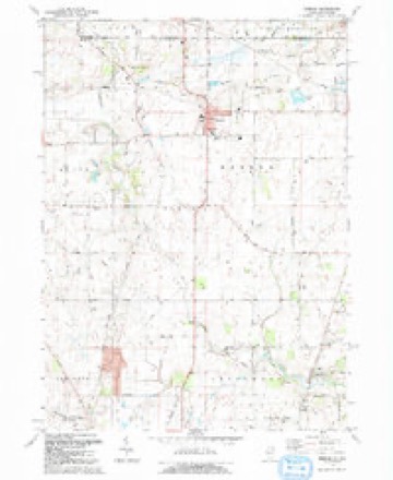
17 topographic sheets cover this place, the earliest surveyed in 1926 and the latest in 1992. It stands in Greenwood Township. It lies in ZIP code area 60098. The Survey maps it on the Hebron quadrangle. 324 people lived here at the 2020 count.
Population over time
2 figuresGreenwood grew from 255 to 324 between 2010 and 2020. These are the recorded population figures Wikidata holds for this place, reached through the Geographic Names Information System number this page is keyed on rather than by name, so they belong to this place and not to another of the same name. Most are census counts, but not all are: an early figure may be a founding or settlement estimate, and an estimate published within five years of a census is left out. The change column is computed, and is left blank where more than 20 years separate a figure from the one before it, because a gap that long is not a change between two counts.
| Year | People | Change |
|---|---|---|
| 2010 | 255 | |
| 2020 | 324 | +69 (+27%) |
Topographic sheets covering this place
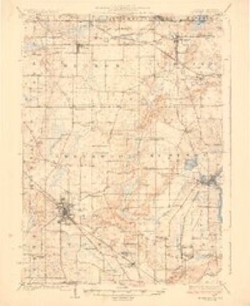
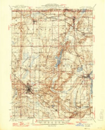
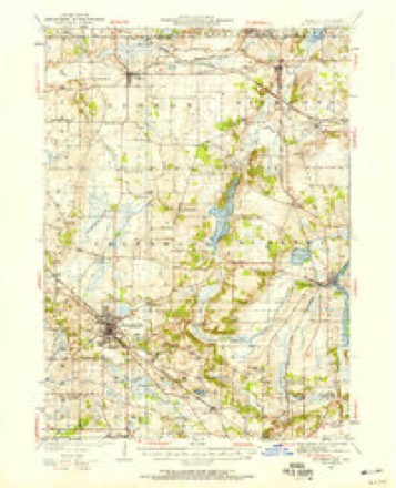
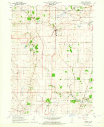
10 surveys from 17 printed sheetsMatched by testing this settlement's coordinate against the published boundary of every sheet in the United States Geological Survey's historical collection. Each opens the scanned sheet at the Survey.
- 1926 USGS Mc Henry quadrangle1:62500
- 1926 USGS McHenry quadrangle1:62500, 2 printings
- 1944 USGS McHenry quadrangle1:62500, 2 printings
- 1954 USGS Rockford quadrangle1:250000
- 1955 USGS Rockford quadrangle1:250000
- 1958 USGS Rockford quadrangle1:250000, 4 printings
- 1963 USGS Hebron quadrangle1:24000, 2 printings
- 1963 USGS Rockford quadrangle1:250000
- 1981 USGS Elgin quadrangle1:100000
- 1992 USGS Hebron quadrangle1:24000, 2 printings





In the county-history sources
14,976 words on this townshipHistory of McHenry County, Illinois : Together with Sketches of Its Cities, Villages and Towns : Educational, Religious, Civil, Military, and Political History : Portraits of Prominent Persons, and Biographies of Representative Citizens, Also a Condensed History of Illinois .., published 1885 names this settlement in its chapter on Greenwood Township. These are the passages that mention it, exactly as the scans read.
C. M. Goodsell had the honor of giving this township its name. At a meeting of the citizens for the purpose of naming the township, the name was proposed by Mr. Goodsell, and afterward confirmed by J. N. Barber, who at that time was Township Trustee. Greenwood is one of the four central townships of the county; bounded on the north by Hebron, on the west by Hartland, on the south by Dorr, and on the east by McHenry, being township 45, range 7, east of third principal meridian.
Passage source: History of McHenry County, Illinois : Together with Sketches of Its Cities, Villages and Towns : Educational, Religious, Civil, Military, and Political History : Portraits of Prominent Persons, and Biographies of Representative Citizens, Also a Condensed History of Illinois .., published 1885.
Greenwood Township, like the most of the townships of McHenry County, cannot be excelled for rich soil and surface features. No pleasanter landscape picture was ever beheld than is presented to the eye of the person riding over the township of Greenwood. The land is gently rolling, the farms are under a fine state of cultivation, and the residences indicate thrift and prosperity on every hand. To a stranger the township presents the appearance of being chiefly prairie land, so completely have the lands been cleared of timber. The western portion of the township and along the Nippersink in early day, was heavily timbered, but at present only second growth timber is to be found. The Nippersink, which courses its way across the northern portion of the township, affords many water privileges to those who live in that vicinity.
Passage source: History of McHenry County, Illinois : Together with Sketches of Its Cities, Villages and Towns : Educational, Religious, Civil, Military, and Political History : Portraits of Prominent Persons, and Biographies of Representative Citizens, Also a Condensed History of Illinois .., published 1885.
Henry Weston, who located in the township in 1833, is said to be the first settler. But little is known of him. He was an Englishman and came to Greenwood with his wife's sister, Miss Ann McQuinn, for whom Queen Ann Prairie was named, she being the first white woman who ever kept house in Greenwood Township. Shortly after Mr. Weston's arrival his wife joined them. She died a few years after coming here and was among the first buriecHn Greenwood Cemetery. Mr. Weston married Miss Watson soon after and this is said to be the first marriage that ever took place in the township. Some claim that Arestide Stevens and Charity Boon were the first couple married, but upon the best authority we can find upon the matter we are persuaded to believe that they were not. The first marriage recorded on the county records is Charles Frame to Miss Mary Dufield, on the 1st day of February, 1838, ceremony being performed by Rev. Joel Wheeler. Following Mr. Weston came the three Stone brothers, Alden, Almon and William. Then came Lewis Boon, Henry Westerman, Elijah Slaflon and James Watson; these all made their claims in 1837.
Passage source: History of McHenry County, Illinois : Together with Sketches of Its Cities, Villages and Towns : Educational, Religious, Civil, Military, and Political History : Portraits of Prominent Persons, and Biographies of Representative Citizens, Also a Condensed History of Illinois .., published 1885.
Machine-read from a century-old scan, so expect the errors a machine makes: misspelled names, dropped words, stray characters.
Read the whole chapter on Greenwood Township - it names this place 32 more 32 times.
Fires near this place
6 since 2013Regional context, not property-specific evidence. The federal wildfire occurrence database lists 6 fires within 5 miles of Greenwood between 2013 and 2018, burning about 30 acres in total. None started naturally. None was recorded as arson. Distance is straight-line from the map coordinates, so a fire counted here may appear on a neighbouring settlement's page as well.
| Reported cause | Fires |
|---|---|
| Debris and open burning | 4 |
| Missing data/not specified/undetermined | 2 |
The most recent of them, most recent first, with the day each was reported and the service that recorded it.
| Date | Cause | Size | Reported by | Name on the report |
|---|---|---|---|---|
| 8 August 2013 | Missing data/not specified/undetermined | 3.0 acres | Illinois Division of Forestry Resources | 13-345 |
| 7 April 2014 | Debris and open burning | under an acre | Illinois Division of Forestry Resources | 14-176 |
| 5 April 2013 | Missing data/not specified/undetermined | 10 acres | Illinois Division of Forestry Resources | 13-129 |
| 5 April 2013 | Debris and open burning | 4.0 acres | Illinois Division of Forestry Resources | 13-128 |
| 26 April 2014 | Debris and open burning | 12 acres | Savanna District, Upper Mississippi National Wildlife Refuge | HACKMATACK PETERSON TRACT |
| 22 October 2018 | Debris and open burning | under an acre | Illinois Division of Forestry Resources | 18-0364 |
Settlements close enough to share some of these fires:
Mines and quarries near this place
2 within 5 milesRegional context, not property-specific evidence. The federal mineral resources record lists 2 workings within 5 miles of Greenwood: 1 producer, 1 past producer. 1 still produces. What was taken out: Sand and Gravel, Construction, Copper. Distance is straight-line from the map coordinates, so a quarry counted here may appear on a neighbouring settlement's page as well.
| Where | Site | Commodity | Status | Recorded |
|---|---|---|---|---|
| Unnamed Copper Deposit | Copper | Past Producer | ||
| West Pit | Sand and Gravel, Construction | Producer |
Storms near this place
2 since 2011Regional context, not property-specific evidence. The National Weather Service names Greenwood in 2 storm reports between 2011 and 2022: 1 hail, 1 thunderstorm wind. No death or injury is recorded in these reports. Each account below is quoted exactly as the forecast office filed it, from the NOAA Storm Events Database, and each date opens the federal record of that event.
Nearest settlements
The eight closest, with where each one stands in the county. Distances are straight-line, computed from the Geographic Names Information System coordinates.
| Map | Place | Distance | Sheets |
|---|---|---|---|
| Sunrise Ridge | 1.5 miles | 17 | |
| Barnard Mill (historical) | 2.3 miles | 17 | |
| Wonder Lake | 2.3 miles | 17 | |
| Wonder Center | 2.4 miles | 17 | |
| Ringwood | 4.9 miles | 17 | |
| Bull Valley | 5.3 miles | 17 | |
| McCullom Lake | 5.4 miles | 17 | |
| Armsby (historical) | 5.7 miles | 17 |
Elsewhere
Matched on this settlement's Geographic Names Information System number rather than its name, so it cannot be a different place of the same name in another state.
| Wikipedia article on Greenwood | An encyclopaedic summary. Its text is share-alike, so it is linked here rather than copied. |
| Wikidata item Q1997976 | The structured record the population and elevation above come from. Public domain (CC0). |
Provenance
This settlement is recorded in the Geographic Names Information System as feature 409451. The sheet list is computed by point-in-boundary test against the United States Geological Survey's historical topographic inventory. Both are works of the United States government and carry no copyright under 17 U.S.C. 105.
Wildfire. Short, Karen C. 2022. Spatial wildfire occurrence data for the United States, 1992-2020 [FPA_FOD_20221014]. 6th Edition. Fort Collins, CO: Forest Service Research Data Archive. https://doi.org/10.2737/RDS-2013-0009.6 Collected with United States Government funding and usable without additional permissions or fees.
Mines and quarries. USGS Mineral Resources Data System (MRDS) https://mrdata.usgs.gov/mrds/ A work of the United States government, no copyright under 17 U.S.C. 105.
Storms. NOAA National Centers for Environmental Information, Storm Events Database https://www.ncei.noaa.gov/stormevents/ A work of the United States government, no copyright under 17 U.S.C. 105. Narratives are quoted verbatim from the National Weather Service report and are not edited or summarised.