 Block
Half Day, Illinois
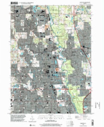
23 topographic sheets cover this place, the earliest surveyed in 1900 and the latest in 1998. It stands in Vernon Township. It lies in ZIP code area 60061. It stands on Indian Creek. The Survey maps it on the Wheeling quadrangle.
Topographic sheets covering this place
9 surveys from 23 printed sheetsMatched by testing this settlement's coordinate against the published boundary of every sheet in the United States Geological Survey's historical collection. Each opens the scanned sheet at the Survey.
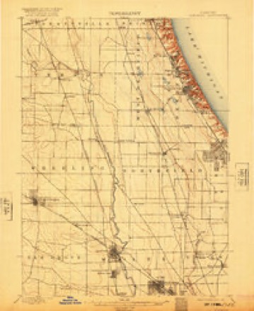
- 1900 USGS Highwood quadrangle1:62500, 5 printings
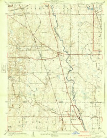
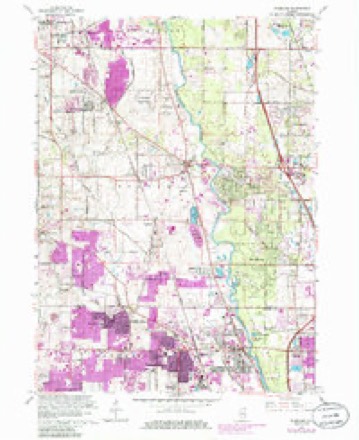
- 1928 USGS Wheeling quadrangle1:24000, 4 printings
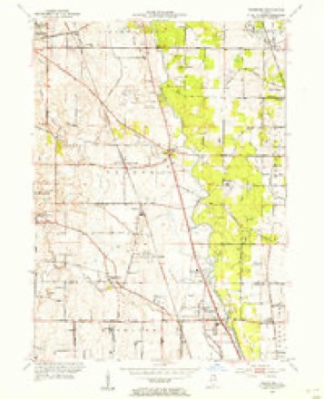
- 1953 USGS Wheeling quadrangle1:24000
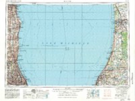
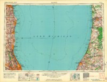
- 1958 USGS Racine quadrangle1:250000, 3 printings
- 1962 USGS Racine quadrangle1:250000
- 1963 USGS Wheeling quadrangle1:24000, 5 printings
- 1980 USGS Waukegan quadrangle1:100000
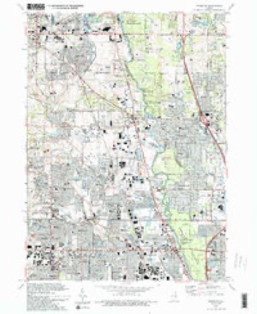
- 1993 USGS Wheeling quadrangle1:24000, 2 printings
- 1998 USGS Wheeling quadrangle1:24000
In the county-history sources
1,027 words on this townshipThe Past and Present of Lake County, Illinois, published 1877 names this settlement in its chapter on Vernon Township. These are the passages that mention it, exactly as the scans read.
There was a warm contest among the inhabitants in adopting a name for this town. The petitions and communications to the Commissioners haying the matter in charge, on the subject, were quite numerous. Many of the inhabit¬ ants at that time being from Rome, in the State of New York, desired that name as the name of the town, and so expressed their wishes by petition, and at a public meeting. This was opposed by others, who came from some other locality. The name of Half Day was urged by many of the older inhabitants who had became attached to that name from early associations. This was opposed by others, partly because it was not deemed a very appropriate name, and because no satisfactory account could be given of its origin. The com¬ missioners finally disregarded all the names proposed, and selected the name of Vernon, from Mt. Vernon, the home of Washington.
Passage source: The Past and Present of Lake County, Illinois, published 1877.
The first town meeting in this town, under township organization, was held at Half Day Village, on the first Tuesday in April, 1850. Matthias Mason presided as Moderator, and Robert M. Hamilton acted as Clerk. The follow¬ ing persons were elected as the first town officers: Capt. James Moore, Super¬ visor; Orange Brace, Town Clerk; Philander Stewart, Justice of the Peace; Elisha Gridley, Assessor; H. H. Hawkes, Job W. Tripp and Irwin Ruth, Commissioners of Highways ; J. W. Ayres, Constable and Collector ; Robert Hamilton, Overseer of the Poor.
Passage source: The Past and Present of Lake County, Illinois, published 1877.
The Methodist Episcopal Church commenced work in this town at an early day. About the year 1837, a class was formed at Half Day, of which William Hamilton was Leader, and Joseph E. Kennicott, Steward. Some of the mem¬ bers of this class were as follows : David Hamilton and wife, Mary A. Hamil¬ ton, Andrew S. Wells, and wife, Mrs. John Gridley and her daughters, Eliza-
Passage source: The Past and Present of Lake County, Illinois, published 1877.
Machine-read from a century-old scan, so expect the errors a machine makes: misspelled names, dropped words, stray characters.
Read the whole chapter on Vernon Township - it names this place 2 more 2 times.
Fires near this place
6 since 2012Regional context, not property-specific evidence. The federal wildfire occurrence database lists 6 fires within 5 miles of Half Day between 2012 and 2020, burning about 42 acres in total. None started naturally. None was recorded as arson. Distance is straight-line from the map coordinates, so a fire counted here may appear on a neighbouring settlement's page as well.
| Reported cause | Fires |
|---|---|
| Fireworks | 2 |
| Equipment and vehicle use | 1 |
| Missing data/not specified/undetermined | 1 |
| Power generation/transmission/distribution | 1 |
| Debris and open burning | 1 |
The most recent of them, most recent first, with the day each was reported and the service that recorded it.
| Date | Cause | Size | Reported by | Name on the report |
|---|---|---|---|---|
| 8 July 2012 | Fireworks | 5.0 acres | Illinois Division of Forestry Resources | 12-2395-27 |
| 4 July 2012 | Fireworks | 19 acres | Illinois Division of Forestry Resources | 12-0848 |
| 9 April 2019 | Missing data/not specified/undetermined | 15 acres | Illinois Division of Forestry Resources | 19-971 |
| 30 April 2018 | Debris and open burning | 2.0 acres | Illinois Division of Forestry Resources | 18-1413 |
| 4 December 2017 | Power generation/transmission/distribution | 1.0 acres | Illinois Division of Forestry Resources | 17-3964 |
| 4 November 2020 | Equipment and vehicle use | under an acre | Illinois Division of Forestry Resources | 2020-2239 |
Settlements close enough to share some of these fires:
Mines and quarries near this place
4 within 5 milesRegional context, not property-specific evidence. The federal mineral resources record lists 4 workings within 5 miles of Half Day: 3 past producers, 1 producer. 1 still produces. What was taken out: Sand and Gravel, Construction, Stone, Stone, Crushed/Broken. Distance is straight-line from the map coordinates, so a quarry counted here may appear on a neighbouring settlement's page as well.
| Where | Site | Commodity | Status | Recorded |
|---|---|---|---|---|
| Deerfield Pit | Stone | Past Producer | ||
| Unamed Limestone Quarry | Stone, Crushed/Broken | Past Producer | ||
| Aptakisic Sand Corp. | Sand and Gravel, Construction | Producer | ||
| Cow Hey Pit | Sand and Gravel, Construction | Past Producer |
Nearest settlements
The eight closest, with where each one stands in the county. Distances are straight-line, computed from the Geographic Names Information System coordinates.
| Map | Place | Distance | Sheets |
|---|---|---|---|
| Prairie View | 1.2 miles | 23 | |
| Aptakisic | 1.5 miles | 23 | |
| Lincolnshire | 1.5 miles | 23 | |
| Mettawa | 2.3 miles | 23 | |
| Horatio Gardens | 2.6 miles | 23 | |
| Vernon Hills | 2.8 miles | 23 | |
| Riverwoods | 3.0 miles | 23 | |
| Indian Creek | 3.0 miles | 23 |
Elsewhere
Matched on this settlement's Geographic Names Information System number rather than its name, so it cannot be a different place of the same name in another state.
| Wikidata item Q122557966 | The structured record the population and elevation above come from. Public domain (CC0). |
Provenance
This settlement is recorded in the Geographic Names Information System as feature 409634. The sheet list is computed by point-in-boundary test against the United States Geological Survey's historical topographic inventory. Both are works of the United States government and carry no copyright under 17 U.S.C. 105.
Wildfire. Short, Karen C. 2022. Spatial wildfire occurrence data for the United States, 1992-2020 [FPA_FOD_20221014]. 6th Edition. Fort Collins, CO: Forest Service Research Data Archive. https://doi.org/10.2737/RDS-2013-0009.6 Collected with United States Government funding and usable without additional permissions or fees.
Mines and quarries. USGS Mineral Resources Data System (MRDS) https://mrdata.usgs.gov/mrds/ A work of the United States government, no copyright under 17 U.S.C. 105.