 Block
Hillerman, Illinois
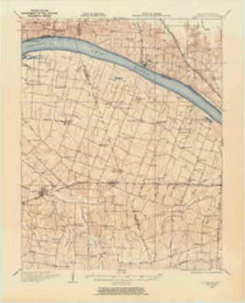
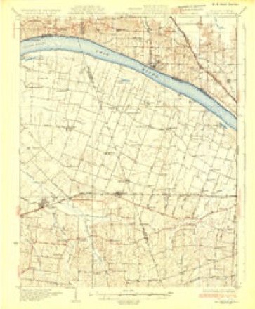
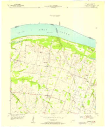
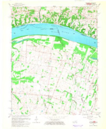
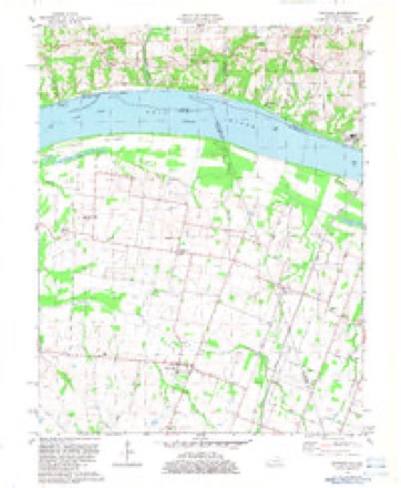
17 topographic sheets cover this place, the earliest surveyed in 1928 and the latest in 1987. It stands in Hillerman precinct. It lies in ZIP code area 62941. The Survey maps it on the Bandana quadrangle. It stands 390 feet above sea level.
Topographic sheets covering this place
13 surveys from 17 printed sheetsMatched by testing this settlement's coordinate against the published boundary of every sheet in the United States Geological Survey's historical collection. Each opens the scanned sheet at the Survey.
- 1928 USGS La Center quadrangle1:62500
- 1932 USGS La Center quadrangle1:62500
- 1949 USGS Paducah quadrangle1:250000, 2 printings
- 1950 USGS Paducah quadrangle1:250000
- 1954 USGS Bandana quadrangle1:24000
- 1954 USGS Paducah quadrangle1:250000, 2 printings
- 1961 USGS Paducah quadrangle1:250000, 2 printings
- 1964 USGS Paducah quadrangle1:250000, 2 printings
- 1966 USGS Bandana quadrangle1:24000
- 1982 USGS Bandana quadrangle1:24000
- 1984 USGS Paducah quadrangle1:100000
- 1986 USGS Paducah quadrangle1:100000
- 1987 USGS Paducah quadrangle1:250000






Fires near this place
16 since 2007Regional context, not property-specific evidence. The federal wildfire occurrence database lists 16 fires within 5 miles of Hillerman between 2007 and 2013, burning about 45 acres in total. None started naturally. 1 was recorded as arson. Distance is straight-line from the map coordinates, so a fire counted here may appear on a neighbouring settlement's page as well.
| Reported cause | Fires |
|---|---|
| Missing data/not specified/undetermined | 12 |
| Debris and open burning | 2 |
| Recreation and ceremony | 1 |
| Arson/incendiarism | 1 |
The most recent of them, most recent first, with the day each was reported and the service that recorded it.
| Date | Cause | Size | Reported by | Name on the report |
|---|---|---|---|---|
| 7 September 2008 | Arson/incendiarism | under an acre | Illinois Division of Forestry Resources | 49 |
| 20 September 2010 | Missing data/not specified/undetermined | 12 acres | Illinois Division of Forestry Resources | WALQUIST |
| 6 August 2010 | Debris and open burning | 2.0 acres | Illinois Division of Forestry Resources | STUBBLEFIELD |
| 22 August 2012 | Missing data/not specified/undetermined | under an acre | Illinois Division of Forestry Resources | JOPPA |
| 15 August 2012 | Debris and open burning | 4.0 acres | Illinois Division of Forestry Resources | JOINER |
| 13 August 2012 | Missing data/not specified/undetermined | under an acre | Illinois Division of Forestry Resources | JONESBORO |
| 12 August 2012 | Missing data/not specified/undetermined | under an acre | Illinois Division of Forestry Resources | 1002 |
| 26 May 2012 | Missing data/not specified/undetermined | 2.0 acres | Illinois Division of Forestry Resources | CARMAN |
Settlements close enough to share some of these fires:
Mines and quarries near this place
6 within 5 milesRegional context, not property-specific evidence. The federal mineral resources record lists 6 workings within 5 miles of Hillerman: 3 past producers, 2 occurrences, 1 producer. 1 still produces. What was taken out: Sand and Gravel, Construction, Stone, Crushed/Broken, Calcium. Distance is straight-line from the map coordinates, so a quarry counted here may appear on a neighbouring settlement's page as well.
| Where | Site | Commodity | Status | Recorded |
|---|---|---|---|---|
| Joppa Cement Plant | Calcium | Producer | ||
| Limestone Prospect | Stone, Crushed/Broken | Occurrence | ||
| Unnamed Limestone Quarry | Stone, Crushed/Broken | Past Producer | ||
| Anderson Pit | Sand and Gravel, Construction | Past Producer | ||
| Delta Materials, Inc. Dredge | Sand and Gravel, Construction | Past Producer | ||
| Shawnee High Interest Sand & Gravel Deposit | Sand and Gravel, Construction | Occurrence | Sand and Gravel |
Storms near this place
5 since 1995Regional context, not property-specific evidence. The National Weather Service names Hillerman in 5 storm reports between 1995 and 2024: 3 tornado, 2 thunderstorm wind. The reports record 1 death and 20 injuries. Each account below is quoted exactly as the forecast office filed it, from the NOAA Storm Events Database, and each date opens the federal record of that event.
| When | Event | Place named | Harm | What the report says |
|---|---|---|---|---|
| May 2003 | Tornado (F4) | Hillerman | 1 killed, 20 hurt, $10,000,000 | The tornado was near its maximum F-4 intensity as it crossed the Pulaski County line into western Massac County near the community of Hillerman. Estimated winds of 210 MPH disintegrated mobile homes and levelled several modern frame homes. One frame house was swept clean off its foundation, with only the roof left intact in a creek about 200 yards away. Many vehicles were lifted, rolled, or thrown up to 100 yards or more. Numerous cases of missiling were observed, including glass embedded in trees. Tree destruction in forested areas was nearly complete, and a few trees were debarked. The only fatality in Massac County was a 65-year-old female who was killed when her mobile home disintegrated. The official cause of death was blunt trauma to the head. She was found in a water-filled ravine about 100 yards from the former site of her mobile home. The frame of the mobile home was wrapped around the trunks of two trees that were stripped of all their limbs. Most of the levelled frame homes were concentrated on Boaz Road and Rolling Hills Road, in or near Hillerman. After passing through Hillerman, the tornado overturned dozens of railroad cars of a train just west of the Mermet Lake Conservation Area, which is off U.S. Route 45. The Mermet Lake Conservation Area was extensively damaged. An estimated 300 acres of forest were destroyed, boat docks were destroyed, and bathing facilities were destroyed. Dozens of waterfowl were found dead. After destroying additional residences and high tension power lines, the tornado crossed Interstate 24 near mile marker 28, about a mile south of the New Columbia exit. Tractor-trailer rigs and a tour bus were overturned on the interstate, injuring the drivers. The interstate was closed due to grain bins, tree limbs, and some building debris on the highway. Additional residences were destroyed between the interstate and the Pope County line. The tornado crossed into Pope County near where Illinois Route 145 crosses the county line. In Massac County, a total of 15 single-family houses and 13 mobile homes were destroyed. About 20 other single-family houses and 15 mobile homes received major damage. Several dozen other residences had some type of minor damage. Numerous vehicles and farming implements were destroyed, including combines. About 20 persons were injured in Massac County, but only one or two were hospitalized in serious or critical condition. Most of the injuries involved lacerations, bruises, broken bones, and internal injuries. Near Hillerman, a deputy sheriff escaped unhurt after his patrol car was thrown about 50 yards and struck by a flying tree and telephone pole. |
| May 2011 | Tornado (EF2) | Hillerman | $150,000 | The tornado gained strength after crossing into Massac County from Pulaski County. North of the Mermet Lake Conservation Area, the tornado reached peak intensity. A barn was destroyed, and debris was thrown several hundred yards. Two grain bins were destroyed, including one that was thrown over 265 yards. Other small outbuildings were destroyed. There was minor to moderate damage to four homes from falling trees and strong winds. As the tornado moved northeast, it damaged a house near the Massac/Johnson County line. The back porch was ripped off. Trees were snapped and thrown into a vehicle and garage. There was roof, siding, soffit, and shutter damage to the home as well. In a nearby field, an irrigation system was overturned. The tornado funnel was photographed from a residence near Round Knob. Peak winds were estimated near 115 mph. The average path width was 300 yards. The tornado continued northeast into Johnson County. |
| January 2023 | Tornado (EF0) | Hillerman | $15,000 | A weakening tornado crossed the Ohio River from McCracken County, Kentucky. About 50 percent of the metal roofing of a barn was blown off. A carport was destroyed. A shed was heavily damaged. There was shutter and siding damage to a home. Some trees were damaged. The tornado dissipated near the small community of Hillerman. |
| August 2024 | Thunderstorm Wind | Hillerman | $5,000 | Multiple trees were downed in the Joppa area including a tree on Portland Rd northwest of town as a thunderstorm moved southeastward through the area. |
| May 1995 | Thunderstorm Wind | Hillerman | - | no account filed |
Nearest settlements
The eight closest, with where each one stands in the county. Distances are straight-line, computed from the Geographic Names Information System coordinates.
| Map | Place | Distance | Sheets |
|---|---|---|---|
| Grinnell | 3.1 miles | 17 | |
| Joppa | 3.2 miles | 19 | |
| Mermet | 3.4 miles | 17 | |
| Boaz | 3.8 miles | 19 | |
| Choat | 5.1 miles | 19 | |
| New Columbia | 7.9 miles | 17 | |
| Round Knob | 8.1 miles | 23 | |
| Samoth | 8.6 miles | 17 |
Elsewhere
Matched on this settlement's Geographic Names Information System number rather than its name, so it cannot be a different place of the same name in another state.
| Wikipedia article on Hillerman | An encyclopaedic summary. Its text is share-alike, so it is linked here rather than copied. |
| Wikidata item Q5763074 | The structured record the population and elevation above come from. Public domain (CC0). |
Provenance
This settlement is recorded in the Geographic Names Information System as feature 410277. The sheet list is computed by point-in-boundary test against the United States Geological Survey's historical topographic inventory. Both are works of the United States government and carry no copyright under 17 U.S.C. 105.
Wildfire. Short, Karen C. 2022. Spatial wildfire occurrence data for the United States, 1992-2020 [FPA_FOD_20221014]. 6th Edition. Fort Collins, CO: Forest Service Research Data Archive. https://doi.org/10.2737/RDS-2013-0009.6 Collected with United States Government funding and usable without additional permissions or fees.
Mines and quarries. USGS Mineral Resources Data System (MRDS) https://mrdata.usgs.gov/mrds/ A work of the United States government, no copyright under 17 U.S.C. 105.
Storms. NOAA National Centers for Environmental Information, Storm Events Database https://www.ncei.noaa.gov/stormevents/ A work of the United States government, no copyright under 17 U.S.C. 105. Narratives are quoted verbatim from the National Weather Service report and are not edited or summarised.