 Block
Round Knob, Illinois
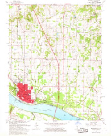
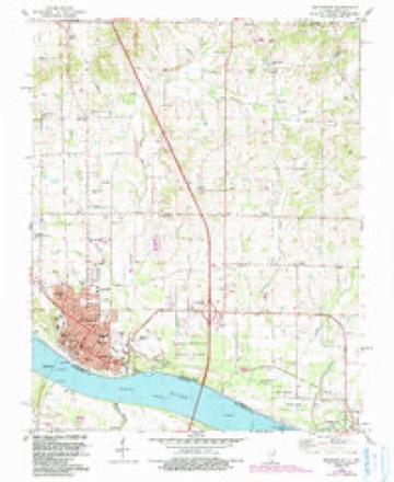
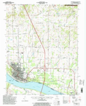
23 topographic sheets cover this place, the earliest surveyed in 1926 and the latest in 1996. It stands in Grant precinct. It lies in ZIP code area 62960. The Survey maps it on the Metropolis quadrangle. It stands 394 feet above sea level.
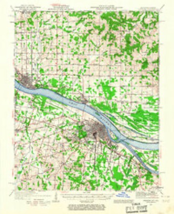
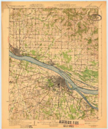
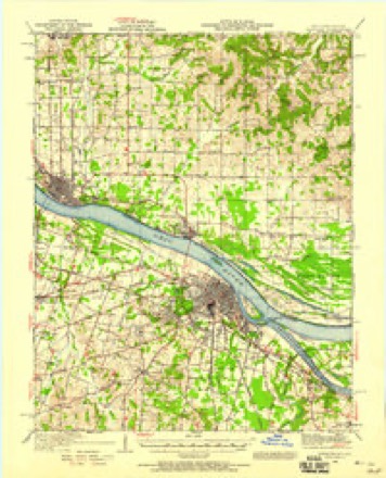
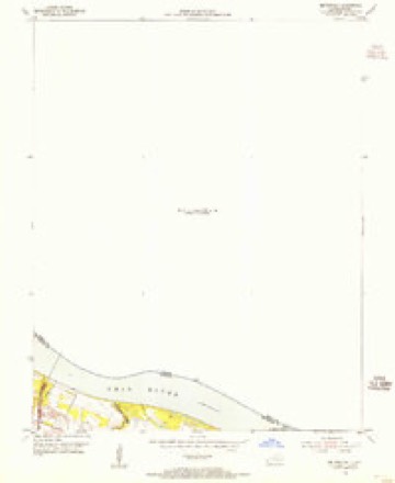
Topographic sheets covering this place
15 surveys from 23 printed sheetsMatched by testing this settlement's coordinate against the published boundary of every sheet in the United States Geological Survey's historical collection. Each opens the scanned sheet at the Survey.
- 1926 USGS Paducah quadrangle1:62500
- 1929 USGS Paducah quadrangle1:62500, 4 printings
- 1940 USGS Paducah quadrangle1:62500
- 1949 USGS Paducah quadrangle1:250000, 2 printings
- 1950 USGS Paducah quadrangle1:250000
- 1954 USGS Metropolis quadrangle1:24000
- 1954 USGS Paducah quadrangle1:250000, 2 printings
- 1961 USGS Paducah quadrangle1:250000, 2 printings
- 1964 USGS Paducah quadrangle1:250000, 2 printings
- 1967 USGS Metropolis quadrangle1:24000
- 1982 USGS Metropolis quadrangle1:24000, 2 printings
- 1984 USGS Paducah quadrangle1:100000
- 1986 USGS Paducah quadrangle1:100000
- 1987 USGS Paducah quadrangle1:250000
- 1996 USGS Metropolis quadrangle1:24000






Fires near this place
39 since 2008Regional context, not property-specific evidence. The federal wildfire occurrence database lists 39 fires within 5 miles of Round Knob between 2008 and 2013, burning about 59 acres in total. None started naturally. None was recorded as arson. Distance is straight-line from the map coordinates, so a fire counted here may appear on a neighbouring settlement's page as well.
| Reported cause | Fires |
|---|---|
| Missing data/not specified/undetermined | 22 |
| Debris and open burning | 12 |
| Equipment and vehicle use | 4 |
| Railroad operations and maintenance | 1 |
The most recent of them, most recent first, with the day each was reported and the service that recorded it.
| Date | Cause | Size | Reported by | Name on the report |
|---|---|---|---|---|
| 18 September 2010 | Missing data/not specified/undetermined | 1.0 acres | Illinois Division of Forestry Resources | HORSTMAN |
| 7 August 2012 | Equipment and vehicle use | 5.0 acres | Illinois Division of Forestry Resources | KRUSER |
| 6 August 2012 | Debris and open burning | 5.0 acres | Illinois Division of Forestry Resources | BUNTING |
| 6 August 2012 | Missing data/not specified/undetermined | under an acre | Illinois Division of Forestry Resources | PORTIAN |
| 4 August 2012 | Missing data/not specified/undetermined | under an acre | Illinois Division of Forestry Resources | I24 M 29 |
| 31 August 2012 | Missing data/not specified/undetermined | under an acre | Illinois Division of Forestry Resources | COUNTY |
| 30 August 2011 | Equipment and vehicle use | 1.0 acres | Illinois Division of Forestry Resources | MERMET FLATS |
| 28 August 2012 | Debris and open burning | 1.0 acres | Illinois Division of Forestry Resources | SUTTER |
Settlements close enough to share some of these fires:
Mines and quarries near this place
2 within 5 milesRegional context, not property-specific evidence. The federal mineral resources record lists 2 workings within 5 miles of Round Knob: 2 occurrences. None of them still produces. What was taken out: Fire Clay (Refractory). Distance is straight-line from the map coordinates, so a quarry counted here may appear on a neighbouring settlement's page as well.
| Where | Site | Commodity | Status | Recorded |
|---|---|---|---|---|
| Shawnee Low Interest Refractory Clay Deposit | Fire Clay (Refractory) | Occurrence | Sedimentary | |
| Shawnee Medium Interest Refractory Clay Deposit | Fire Clay (Refractory) | Occurrence | Sedimentary |
Storms near this place
32 since 1999Regional context, not property-specific evidence. The National Weather Service names Round Knob in 32 storm reports between 1999 and 2025: 16 thunderstorm wind, 9 hail, 4 heavy rain, 1 tornado. No death or injury is recorded in these reports. Each account below is quoted exactly as the forecast office filed it, from the NOAA Storm Events Database, and each date opens the federal record of that event.
| When | Event | Place named | Harm | What the report says |
|---|---|---|---|---|
| July 2023 | Flash Flood | Round Knob | $250,000 | no account filed |
| April 1999 | Thunderstorm Wind | Round Knob | $50,000 | A thunderstorm downburst with winds estimated near 100 MPH damaged roofs and metal barns. Scattered trees were down, along with some power lines. Most of the homes in the path of the downburst sustained only minor roof damage. The most severely damaged house had its roof peeled back and thrown 200 yards into a field. The path of the microburst was about 1 mile wide and at least 2.5 miles long. |
| March 2023 | Thunderstorm Wind | Round Knob | $40,000 | Near Round Knob, a large section of shingles was removed from a home. Trees and power poles were down in the Unionville area. |
| June 2013 | Thunderstorm Wind | Round Knob | $30,000 | A church under construction was blown down. Most of the framing had been erected. |
| July 2025 | Lightning | Round Knob | $15,000 | Lightning struck a barn on Mermet Rd, which resulted in a fire that fully engulfed the barn and burned it down. |
| April 2011 | Thunderstorm Wind | Round Knob | $13,000 | At Round Knob, a wind gust to 62 mph was measured. There were numerous measured winds from 50 to 60 mph for an hour, along with heavy rain and three separate hail events. There was wind damage to siding and an exterior door of a house. A few trees were down in Metropolis. Scattered large tree limbs were blown down in the New Columbia and Big Bay areas. |
| September 2012 | Thunderstorm Wind | Round Knob | $10,000 | Several large trees were blown down, and tree tops were blown out. About half the city of Metropolis was reported to be out of power. The highest wind gusts were estimated near 60 mph. The tree damage area included Joppa, Metropolis, and the Midway area. |
| June 2011 | Hail | Round Knob | $10,000 | Most of the hailstones were half-dollar size, but a number of stones measured 1.75 inches in diameter. Some dents were observed in vehicles. |
| April 2023 | Thunderstorm Wind | Round Knob | $8,000 | Several trees and large limbs were down at Airport Road. |
| July 2023 | Thunderstorm Wind | Round Knob | $7,000 | The second damaging wind gust within two hours occurred in the Round Knob and New Columbia areas. Large tree branches and several trees were blown down near New Columbia. A wind gust to 70 mph was reported at Round Knob. |
| June 2019 | Thunderstorm Wind | Round Knob | $6,000 | Trees were blown down in the Round Knob area. Winds gusted to over 60 mph. |
| November 2017 | Tornado (EF0) | Round Knob | $5,000 | A very brief EF-0 tornado touched down with peak winds of 65 mph. A cedar tree was snapped. Limbs were broken off several trees. A residence sustained shingle damage. |
| June 2013 | Heavy Rain | Round Knob | $3,000 | A spotter near Round Knob measured 4.87 inches of rain. The majority of the heavy rain fell in a six-hour window ending at 0800 Local Standard Time. There was considerable street flooding in Metropolis. Two cars were flooded with about three inches of water in them. |
| September 2006 | Thunderstorm Wind | Round Knob | $2,000 | A microburst about three-quarters of a mile long and up to one-quarter mile wide occurred in a cornfield. A nearby barn sustained some damage. |
| December 2015 | Heavy Rain | Round Knob | - | The 48-hour rainfall total ending on the morning of the 28th was 4.88 inches. Numerous fields were covered with water. Ditches and creeks were full or overflowing their banks. |
| January 2012 | Thunderstorm Wind | Round Knob | - | A trained spotter measured a wind gust to 60 mph. |
| February 2012 | Thunderstorm Wind | Round Knob | - | A wind gust was measured to 60 mph. |
| September 2012 | Thunderstorm Wind | Round Knob | - | A trained spotter estimated a wind gust to 65 mph. |
| May 2011 | Thunderstorm Wind | Round Knob | - | Measured wind gusts from 60 to 65 mph persisted for several minutes. |
| April 2011 | Thunderstorm Wind | Round Knob | - | A wind gust to 76 mph was measured near Round Knob. An estimated wind gust to 60 mph occurred in Metropolis. |
| June 2011 | Heavy Rain | Round Knob | - | Several roads were closed in Metropolis. Water was up to two feet deep on U.S. Highway 45. A trained spotter near Round Knob measured about two inches during the morning, with lots of standing water in fields. |
| July 2011 | Heavy Rain | Round Knob | - | A trained spotter measured 0.78 inches of rain in 15 minutes. |
| June 2018 | Hail | Round Knob | - | no account filed |
| April 2016 | Hail | Round Knob | - | no account filed |
| July 2016 | Hail | Round Knob | - | no account filed |
| August 2013 | Hail | Round Knob | - | no account filed |
| January 2012 | Hail | Round Knob | - | no account filed |
| March 2012 | Thunderstorm Wind | Round Knob | - | no account filed |
| April 2011 | Thunderstorm Wind | Round Knob | - | no account filed |
| April 2011 | Hail | Round Knob | - | no account filed |
| June 2011 | Hail | Round Knob | - | no account filed |
| November 2005 | Hail | Round Knob | - | no account filed |
Nearest settlements
The eight closest, with where each one stands in the county. Distances are straight-line, computed from the Geographic Names Information System coordinates.
| Map | Place | Distance | Sheets |
|---|---|---|---|
| Choat | 4.0 miles | 19 | |
| New Columbia | 4.8 miles | 17 | |
| Big Bay | 4.9 miles | 21 | |
| Midway | 5.5 miles | 23 | |
| Mermet | 6.0 miles | 17 | |
| Joppa | 6.3 miles | 19 | |
| Samoth | 6.5 miles | 17 | |
| Metropolis | 6.6 miles | 23 |
Elsewhere
Matched on this settlement's Geographic Names Information System number rather than its name, so it cannot be a different place of the same name in another state.
| Wikidata item Q7371064 | The structured record the population and elevation above come from. Public domain (CC0). |
Provenance
This settlement is recorded in the Geographic Names Information System as feature 416986. The sheet list is computed by point-in-boundary test against the United States Geological Survey's historical topographic inventory. Both are works of the United States government and carry no copyright under 17 U.S.C. 105.
Wildfire. Short, Karen C. 2022. Spatial wildfire occurrence data for the United States, 1992-2020 [FPA_FOD_20221014]. 6th Edition. Fort Collins, CO: Forest Service Research Data Archive. https://doi.org/10.2737/RDS-2013-0009.6 Collected with United States Government funding and usable without additional permissions or fees.
Mines and quarries. USGS Mineral Resources Data System (MRDS) https://mrdata.usgs.gov/mrds/ A work of the United States government, no copyright under 17 U.S.C. 105.
Storms. NOAA National Centers for Environmental Information, Storm Events Database https://www.ncei.noaa.gov/stormevents/ A work of the United States government, no copyright under 17 U.S.C. 105. Narratives are quoted verbatim from the National Weather Service report and are not edited or summarised.