 Block
Hillview, Illinois
12 topographic sheets cover this place, the earliest surveyed in 1930 and the latest in 1985. It stands in Patterson Township. It lies in ZIP code area 62050. The Survey maps it on the Pearl East quadrangle. 94 people lived here at the 2020 count. It stands 440 feet above sea level.
Population over time
2 figuresHillview fell from 193 to 94 between 2010 and 2020. These are the recorded population figures Wikidata holds for this place, reached through the Geographic Names Information System number this page is keyed on rather than by name, so they belong to this place and not to another of the same name. Most are census counts, but not all are: an early figure may be a founding or settlement estimate, and an estimate published within five years of a census is left out. The change column is computed, and is left blank where more than 20 years separate a figure from the one before it, because a gap that long is not a change between two counts.
| Year | People | Change |
|---|---|---|
| 2010 | 193 | |
| 2020 | 94 | -99 (-51%) |
Topographic sheets covering this place
6 surveys from 12 printed sheetsMatched by testing this settlement's coordinate against the published boundary of every sheet in the United States Geological Survey's historical collection. Each opens the scanned sheet at the Survey.
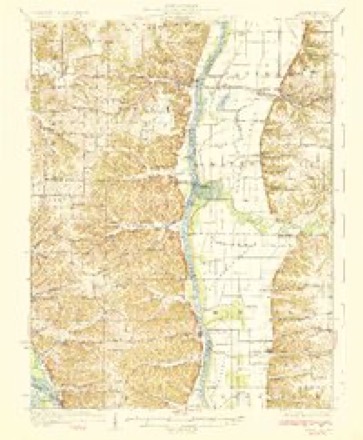
- 1930 USGS Pearl quadrangle1:62500, 3 printings
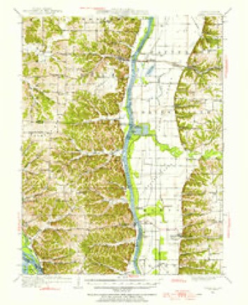
- 1948 USGS Quincy quadrangle1:250000, 2 printings
- 1950 USGS Pearl quadrangle1:62500
- 1956 USGS Quincy quadrangle1:250000, 3 printings
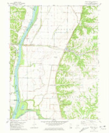
- 1980 USGS Pearl East quadrangle1:24000
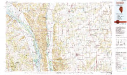
- 1985 USGS Jerseyville quadrangle1:100000, 2 printings


What happened here
An account from the chapter on Patterson township. The inset identifies its exact source book and publication year.
Prisoners Captured Bv The United States Army, 1861-65
swer to a resolution of Congress, made the following- slalenicnt. This is the latest and only official statement on the subject, and must be accepted as the most accurate possible to be had, or will ever be forthcoming; but it is imperfect as to Confederate reports, which are meager. On the other hand, the government Ijooks were accurately kept as to Confedcralc prisoners captured by United States troops.
In the county-history sources
17,548 words on this townshipPast and Present of Greene County, Illinois, published 1905 has no passage naming this settlement, which was common for smaller places. Its township is covered in full.
The chapter on Patterson Township covers the township.
Read the chapter on Patterson Township - 17,548 words.
Mines and quarries near this place
6 within 5 milesRegional context, not property-specific evidence. The federal mineral resources record lists 6 workings within 5 miles of Hillview: 3 producers, 2 past producers, 1 occurrence. 3 still produce. What was taken out: Stone, Crushed/Broken, Stone. Distance is straight-line from the map coordinates, so a quarry counted here may appear on a neighbouring settlement's page as well.
| Where | Site | Commodity | Status | Recorded |
|---|---|---|---|---|
| Patterson Township Pit | Stone | Past Producer | ||
| Chicago and Alton Railroad Quarry | Stone, Crushed/Broken | Past Producer | ||
| Limestone Prospect | Stone, Crushed/Broken | Occurrence | ||
| Orton Quarry | Stone, Crushed/Broken | Producer | ||
| Valstad Quarry #1 | Stone, Crushed/Broken | Producer | ||
| Valstad Quarry #2 | Stone, Crushed/Broken | Producer |
Storms near this place
17 since 1999Regional context, not property-specific evidence. The National Weather Service names Hillview in 17 storm reports between 1999 and 2023: 6 thunderstorm wind, 3 tornado, 3 hail, 3 flash flood. No death or injury is recorded in these reports. Each account below is quoted exactly as the forecast office filed it, from the NOAA Storm Events Database, and each date opens the federal record of that event.
| When | Event | Place named | Harm | What the report says |
|---|---|---|---|---|
| February 1999 | Tornado (F1) | Hillview | $80,000 | no account filed |
| May 2013 | Flood | Hillview | $2,000 | The Illinois River along the border of Greene County remained at major flood levels in early May, dropped below major levels for a while, then rose to major levels again at the end of May. Damage was limited to some closed roads and flooded farmland. |
| June 2013 | Flood | Hillview | $1,000 | The Illinois River started June in flood and hit major flood levels cresting on the 4th - 6th. The river remained in flood into July. Damage was minimal. |
| June 2023 | Thunderstorm Wind | Hillview | - | Thunderstorm winds blew down several trees across the northern portions of the county. In White Hall, a few power lines were blown down as well. |
| July 2021 | Flash Flood | Hillview | - | Up to four inches of rain fell in a short amount of time causing flash flooding. Several roads were flooded including Illinois Route 108 near Carrollton and Daum-Station Road south southwest of Wrights. |
| June 2021 | Flash Flood | Hillview | - | After an initial round of heavy rain, up to two inches, late in the day on June 24th into the early morning hours of June 25th, another round of heavy rain developed during the evening hours of June 25th through the early morning hours of June 26th. So the region received another 2 to 3 inches of rain which caused Hurricane Creek to rise well out of its banks in and around Hillview. Several roads in the area were flooded. |
| May 2018 | Tornado (EF0) | Hillview | - | A landspout tornado developed on the intersection of two outflow boundaries in extreme western Greene County Illinois, approximately 3 miles south southeast of Pearl, Illinois. The weak landspout tornado was very visible and numerous photos and videos were taken as it slowly moved west-southwest across the Illinois River into Pike County, Illinois. Based on the photographs and videos provided to the NWS, the tornado appeared to be no more than 50 yard wide and on the ground for roughly one mile crossing open farm fields and diminishing as a waterspout on the Illinois River. The landspout was rated EF0 in Greene County with a path length of 0.69 miles and max path width of 50 yards. |
| July 2018 | Thunderstorm Wind | Hillview | - | Thunderstorm winds blew down several power poles about a mile north of Hillview. |
| July 2015 | Flash Flood | Hillview | - | Between 2 and 7 inches rain fell across Greene County causing flash flooding. Numerous roads were flooded including U.S. Highway 67 near White Hall and Roodhouse. In Hillview, a levee along Hurricane Creek was breached, flooding the town. At least 6 people had to be rescued from their homes due to the flood waters. No injuries or deaths were reported. |
| August 2007 | Thunderstorm Wind | Hillview | - | Several trees were blown down as well as numerous large tree limbs. |
| August 2007 | Thunderstorm Wind | Hillview | - | A 30 foot high tree was blown over and some power outages were reported. |
| March 2006 | Tornado (F2) | Hillview | - | The tornado that stated in Calhoun County and moved across extreme southeast Pike County next moved into Greene County southwest of Hillview and caused damage at a farm in the Illinois River flood plain. Two machine sheds were destroyed while a house sustained roof, window, and siding damage. The damage was rated F1 at this location. The tornado moved across the town of Hillview at approximately 7:15 pm CST. A number of homes sustained minor damage while one two story brick building was damaged. Several large limbs and a few large trees were also down in town. The width of the damage area was approximately 100 yards and the damage intensity was F0. The tornado continued to move northeast and lay a continuous path of mainly tree damage from Hillview to Patterson. Two machine sheds at a farmstead 2 miles southwest of Patterson were destroyed. The width of the damage area was 75 yards wide and was rated F0. In the town of Patterson a number of homes sustained varying degrees of damage while one house trailer was severely damaged. The tornado continued to move northeast over farmlands northeast of Patterson to 1 mile north northeast of the small community of Barrow. Several large grain silos and machine sheds were destroyed while two farm homes sustained varying degrees of damage. Debris from the silos and machine sheds were tossed 1/8 to 1/4 mile to the northeast. The tornado also downed over a mile of high voltage power lines along Highway 106. The tornado moved across the Greene Scott County line just east of Queen Road about 2 miles northeast of Barrow. The damage intensity northeast of Barrow was rated F2. |
| June 2002 | Thunderstorm Wind | Hillview | - | Thunderstorm wind gusts downed large trees and damaged a machine shed. |
| July 2000 | Thunderstorm Wind | Hillview | - | Thunderstorm wind gusts down some trees just west of Hillview. |
| June 2008 | Hail | Hillview | - | no account filed |
| May 2003 | Hail | Hillview | - | no account filed |
| May 2003 | Hail | Hillview | - | no account filed |
Nearest settlements
The eight closest, with where each one stands in the county. Distances are straight-line, computed from the Geographic Names Information System coordinates.
| Map | Place | Distance | Sheets |
|---|---|---|---|
| McClay Orchard | 1.4 miles | 12 | |
| Grand Pass | 3.0 miles | 12 | |
| Patterson | 3.7 miles | 12 | |
| Hanks Station | 3.8 miles | 12 | |
| Walkerville | 5.0 miles | 12 | |
| Haypress | 6.2 miles | 12 | |
| White Hall | 7.4 miles | 12 | |
| Barrow | 8.3 miles | 12 |
Elsewhere
Matched on this settlement's Geographic Names Information System number rather than its name, so it cannot be a different place of the same name in another state.
| Wikipedia article on Hillview | An encyclopaedic summary. Its text is share-alike, so it is linked here rather than copied. |
| Wikidata item Q2612195 | The structured record the population and elevation above come from. Public domain (CC0). |
Provenance
This settlement is recorded in the Geographic Names Information System as feature 410301. The sheet list is computed by point-in-boundary test against the United States Geological Survey's historical topographic inventory. Both are works of the United States government and carry no copyright under 17 U.S.C. 105.
Mines and quarries. USGS Mineral Resources Data System (MRDS) https://mrdata.usgs.gov/mrds/ A work of the United States government, no copyright under 17 U.S.C. 105.
Storms. NOAA National Centers for Environmental Information, Storm Events Database https://www.ncei.noaa.gov/stormevents/ A work of the United States government, no copyright under 17 U.S.C. 105. Narratives are quoted verbatim from the National Weather Service report and are not edited or summarised.