 Block
McClay Orchard, Illinois
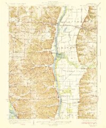
12 topographic sheets cover this place, the earliest surveyed in 1930 and the latest in 1985. It stands in Patterson Township. It lies in ZIP code area 62050. It stands on Kersey Creek. The Survey maps it on the Pearl East quadrangle.
Topographic sheets covering this place
6 surveys from 12 printed sheetsMatched by testing this settlement's coordinate against the published boundary of every sheet in the United States Geological Survey's historical collection. Each opens the scanned sheet at the Survey.
- 1930 USGS Pearl quadrangle1:62500, 3 printings
- 1948 USGS Quincy quadrangle1:250000, 2 printings
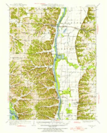
- 1950 USGS Pearl quadrangle1:62500
- 1956 USGS Quincy quadrangle1:250000, 3 printings
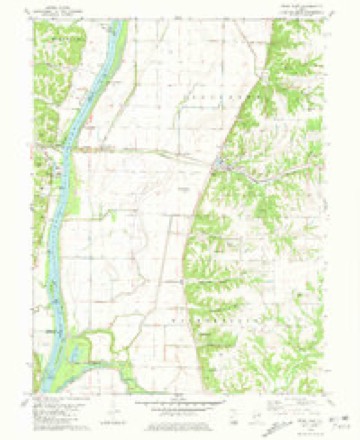
- 1980 USGS Pearl East quadrangle1:24000
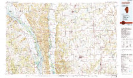
- 1985 USGS Jerseyville quadrangle1:100000, 2 printings


What happened here
An account from the chapter on Patterson township. The inset identifies its exact source book and publication year.
Prisoners Captured Bv The United States Army, 1861-65
swer to a resolution of Congress, made the following- slalenicnt. This is the latest and only official statement on the subject, and must be accepted as the most accurate possible to be had, or will ever be forthcoming; but it is imperfect as to Confederate reports, which are meager. On the other hand, the government Ijooks were accurately kept as to Confedcralc prisoners captured by United States troops.
In the county-history sources
17,548 words on this townshipPast and Present of Greene County, Illinois, published 1905 has no passage naming this settlement, which was common for smaller places. Its township is covered in full.
The chapter on Patterson Township covers the township.
Read the chapter on Patterson Township - 17,548 words.
Mines and quarries near this place
6 within 5 milesRegional context, not property-specific evidence. The federal mineral resources record lists 6 workings within 5 miles of McClay Orchard: 4 producers, 1 past producer, 1 occurrence. 4 still produce. What was taken out: Stone, Crushed/Broken, Stone. Distance is straight-line from the map coordinates, so a quarry counted here may appear on a neighbouring settlement's page as well.
| Where | Site | Commodity | Status | Recorded |
|---|---|---|---|---|
| Patterson Township Pit | Stone | Past Producer | ||
| Limestone Prospect | Stone, Crushed/Broken | Occurrence | ||
| Orton Quarry | Stone, Crushed/Broken | Producer | ||
| Thomas Quarry | Stone, Crushed/Broken | Producer | ||
| Valstad Quarry #1 | Stone, Crushed/Broken | Producer | ||
| Valstad Quarry #2 | Stone, Crushed/Broken | Producer |
Nearest settlements
The eight closest, with where each one stands in the county. Distances are straight-line, computed from the Geographic Names Information System coordinates.
| Map | Place | Distance | Sheets |
|---|---|---|---|
| Hillview | 1.4 miles | 12 | |
| Patterson | 2.4 miles | 12 | |
| Hanks Station | 2.9 miles | 12 | |
| Grand Pass | 3.8 miles | 12 | |
| Walkerville | 5.7 miles | 12 | |
| White Hall | 6.8 miles | 12 | |
| Barrow | 7.1 miles | 12 | |
| Haypress | 7.3 miles | 12 |
Elsewhere
Matched on this settlement's Geographic Names Information System number rather than its name, so it cannot be a different place of the same name in another state.
| Wikidata item Q122543390 | The structured record the population and elevation above come from. Public domain (CC0). |
Provenance
This settlement is recorded in the Geographic Names Information System as feature 422960. The sheet list is computed by point-in-boundary test against the United States Geological Survey's historical topographic inventory. Both are works of the United States government and carry no copyright under 17 U.S.C. 105.
Mines and quarries. USGS Mineral Resources Data System (MRDS) https://mrdata.usgs.gov/mrds/ A work of the United States government, no copyright under 17 U.S.C. 105.