 Block
Hollis, Illinois
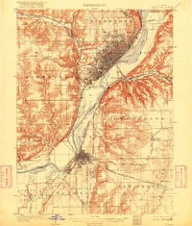
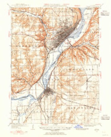
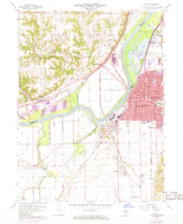
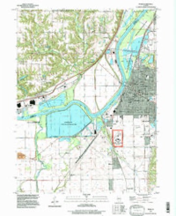
18 topographic sheets cover this place, the earliest surveyed in 1905 and the latest in 1996. It stands in Hollis Township. It lies in ZIP code area 61607. The Survey maps it on the Pekin quadrangle.
Topographic sheets covering this place
10 surveys from 18 printed sheetsMatched by testing this settlement's coordinate against the published boundary of every sheet in the United States Geological Survey's historical collection. Each opens the scanned sheet at the Survey.
- 1905 USGS Peoria quadrangle1:62500, 4 printings
- 1927 USGS Peoria quadrangle1:62500
- 1958 USGS Peoria quadrangle1:250000, 4 printings
- 1960 USGS Pekin quadrangle1:24000, 3 printings
- 1961 USGS Peoria quadrangle1:250000
- 1963 USGS Peoria quadrangle1:250000
- 1985 USGS Peoria quadrangle1:100000
- 1989 USGS Peoria quadrangle1:100000
- 1990 USGS Peoria quadrangle1:250000
- 1996 USGS Pekin quadrangle1:24000






In the county-history sources
2,426 words on this townshipThe History of Peoria County, Illinois. Containing a History of the Northwest--history of Illinois--history of the County, Its Early Settlement, Growth, Development, Resources, Etc., Etc. .., published 1880 names this settlement in its chapter on Hollis Township. These are the passages that mention it, exactly as the scans read.
CLARK JAMES C. blacksmith. P, O. Harker's Corners, was born in Adams county, Ohio, on the 4th day of June, 181 5, was reared to the trade, and received what advantages the district schools afforded at that time. Came to the county in 1837 and settled in Hollis township, where he has resided since. Has 114 acres of land, valued at $3,000. Held the office of road commissioner twenty-six years, and school treasurer twenty-two years. When he came to this county it was wild. Deers. wolves, turkeys, and other game could be seen from the cabin doors of the pioneers.
Passage source: The History of Peoria County, Illinois. Containing a History of the Northwest--history of Illinois--history of the County, Its Early Settlement, Growth, Development, Resources, Etc., Etc. .., published 1880.
JACOBS PETERS, sawder, P. O. Mapleton, was bom in Pennsylvania. June I, 1823, came to Peoria county in lS58,and settled in Lancaster, Timber township, and, in 1S76, came to Hollis. Married Miss Mary T. Kuley, who was bom in Pennsylvania, July 30, 1826. The fruit of this marriage was nine children, six of whom are living: William, Ulysses, Julia, Mary, Jennie, Hattie. Members of the Catholic Church.
Passage source: The History of Peoria County, Illinois. Containing a History of the Northwest--history of Illinois--history of the County, Its Early Settlement, Growth, Development, Resources, Etc., Etc. .., published 1880.
Machine-read from a century-old scan, so expect the errors a machine makes: misspelled names, dropped words, stray characters.
Read the whole chapter on Hollis Township - it names this place 4 more 4 times.
Fires near this place
3 since 2009Regional context, not property-specific evidence. The federal wildfire occurrence database lists 3 fires within 5 miles of Hollis in 2009, burning about 1 acre in total. None started naturally. None was recorded as arson. Distance is straight-line from the map coordinates, so a fire counted here may appear on a neighbouring settlement's page as well.
| Reported cause | Fires |
|---|---|
| Debris and open burning | 2 |
| Missing data/not specified/undetermined | 1 |
The most recent of them, most recent first, with the day each was reported and the service that recorded it.
| Date | Cause | Size | Reported by | Name on the report |
|---|---|---|---|---|
| 3 March 2009 | Debris and open burning | 1.0 acres | Illinois Division of Forestry Resources | MURR |
| 23 March 2009 | Debris and open burning | under an acre | Illinois Division of Forestry Resources | 9273 |
| 2 January 2009 | Missing data/not specified/undetermined | under an acre | Illinois Division of Forestry Resources | 904 |
Settlements close enough to share some of these fires:
Mines and quarries near this place
2 within 5 milesRegional context, not property-specific evidence. The federal mineral resources record lists 2 workings within 5 miles of Hollis: 2 producers. All of them still produce. What was taken out: Sand and Gravel, Construction. Distance is straight-line from the map coordinates, so a quarry counted here may appear on a neighbouring settlement's page as well.
| Where | Site | Commodity | Status | Recorded |
|---|---|---|---|---|
| Pekin Sand | Sand and Gravel, Construction | Producer | ||
| Pekin South Sand | Sand and Gravel, Construction | Producer |
Nearest settlements
The eight closest, with where each one stands in the county. Distances are straight-line, computed from the Geographic Names Information System coordinates.
| Map | Place | Distance | Sheets |
|---|---|---|---|
| Tuscarora | 0.6 miles | 18 | |
| Bartonville | 3.8 miles | 19 | |
| Mapleton | 3.9 miles | 18 | |
| Lake Camelot | 4.5 miles | 19 | |
| Kickapoo | 5.2 miles | 19 | |
| Kingston Mines | 6.0 miles | 15 | |
| Bellevue | 6.1 miles | 19 | |
| Maxwell | 6.5 miles | 19 |
Provenance
This settlement is recorded in the Geographic Names Information System as feature 422815. The sheet list is computed by point-in-boundary test against the United States Geological Survey's historical topographic inventory. Both are works of the United States government and carry no copyright under 17 U.S.C. 105.
Wildfire. Short, Karen C. 2022. Spatial wildfire occurrence data for the United States, 1992-2020 [FPA_FOD_20221014]. 6th Edition. Fort Collins, CO: Forest Service Research Data Archive. https://doi.org/10.2737/RDS-2013-0009.6 Collected with United States Government funding and usable without additional permissions or fees.
Mines and quarries. USGS Mineral Resources Data System (MRDS) https://mrdata.usgs.gov/mrds/ A work of the United States government, no copyright under 17 U.S.C. 105.