 Block
Kickapoo, Illinois
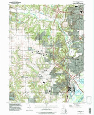
19 topographic sheets cover this place, the earliest surveyed in 1905 and the latest in 1996. It stands in Limestone Township. It lies in ZIP code area 61605. The Survey maps it on the Peoria West quadrangle.
On record in Kickapoo
Buildings and businesses the archive holds for this place. Each opens its own page, with the source record it came from.
On the National Register 1 record
 Jubilee Collegelisted 1972
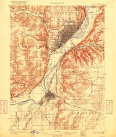
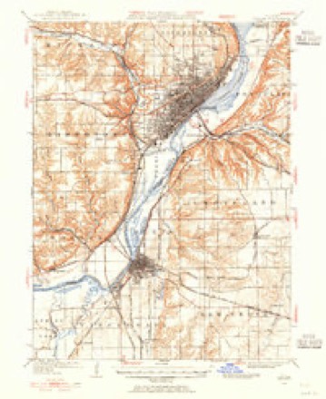
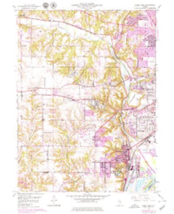
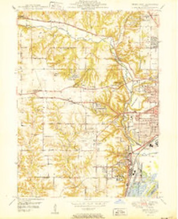
Topographic sheets covering this place
11 surveys from 19 printed sheetsMatched by testing this settlement's coordinate against the published boundary of every sheet in the United States Geological Survey's historical collection. Each opens the scanned sheet at the Survey.
- 1905 USGS Peoria quadrangle1:62500, 4 printings
- 1927 USGS Peoria quadrangle1:62500
- 1949 USGS Peoria West quadrangle1:24000, 3 printings
- 1950 USGS Peoria West quadrangle1:24000
- 1958 USGS Peoria quadrangle1:250000, 4 printings
- 1961 USGS Peoria quadrangle1:250000
- 1963 USGS Peoria quadrangle1:250000
- 1985 USGS Peoria quadrangle1:100000
- 1989 USGS Peoria quadrangle1:100000
- 1990 USGS Peoria quadrangle1:250000
- 1996 USGS Peoria West quadrangle1:24000






In the county-history sources
15,932 words on this townshipThe History of Peoria County, Illinois. Containing a History of the Northwest--history of Illinois--history of the County, Its Early Settlement, Growth, Development, Resources, Etc., Etc. .., published 1880 names this settlement in its chapter on Kickapoo Township. These are the passages that mention it, exactly as the scans read.
Town 9 north, range 8 east, took its name from the creek which flows through it. Kickapoo is an Indian term and signifies red bud. The stream was so named from the abundance of that shrub that grew along its banks. The townsljip dates its settlement from 18.34. John L. Wakefield, now of Radnor, claims to have been the first settler, in that year. Francis Pond. George (). Kingsley, came to the township in the Fall of 1834, and kept bach, and shook with the ague in a cabin on the farm where Mrs. Mary Kingsley now lives. John Cnyle and Israel Pinckney came the same Fall. The former settled on the farm now owned by Joseph Voorhees, and was afterwards one of the proprietors of Kickapoo village. Mr." Pinckney built his cabin on S. E. of Sec. 12. He came from New York city. TheKingsleys were natives of \''crmont. They both married and reared famlies, and died in tiie townsliip, George in IHtiH, and Francis in 1873.
Passage source: The History of Peoria County, Illinois. Containing a History of the Northwest--history of Illinois--history of the County, Its Early Settlement, Growth, Development, Resources, Etc., Etc. .., published 1880.
Hales Mill. - In 1834 William Hale, then sheriff of Oswego county, N. Y., being West on official duty, visited the Kickapoo valley and selected a mill site at what is now the upper end of Pottstown. He returned home, resigned his offioe. and in the Spring of 183."> came back accompanied with George Greenwood, John Kasioii, and Waldo Holmes, and erected a saw mill on the site that year. The following Winter material was jjrepared, and in the Spring of 183o a flouring mill was raised. He brought the necessary machinery and his family by wagon from Albany, N. Y., that Summer, and the mill was completed and set to running in tlie Spiing of 18;iT. It was visited liy settlors for a radius of thirty miles, and was crowded with Inisiness. The water supply giving out in 1848, steam was substituted, and Mr. Hale controlled the property until his death, in 18.')9. Tiie mill was converted into a ilistiller}', which was destroyed by tiie in 1807.
Passage source: The History of Peoria County, Illinois. Containing a History of the Northwest--history of Illinois--history of the County, Its Early Settlement, Growth, Development, Resources, Etc., Etc. .., published 1880.
Tlie village plat was laid off in July, 1836. The plat was entered for record in the name of John Coyle. The town site is in the southwest quarter of Sec. 6. About onehalf of this quarter section was laid off in town lots with a public square in the center. Tiie first house on the village site was erected by Mr. Jenkins on the site now occupied by Valentine Schlenk's hotel property, long known as the Kickapoo House. The original building is included in the hotel building. It was designed for a storeroom, and was used for that purpose for a short time by Mr. Jenkins, when additions were made for hotel purposes.
Passage source: The History of Peoria County, Illinois. Containing a History of the Northwest--history of Illinois--history of the County, Its Early Settlement, Growth, Development, Resources, Etc., Etc. .., published 1880.
Machine-read from a century-old scan, so expect the errors a machine makes: misspelled names, dropped words, stray characters.
Read the whole chapter on Kickapoo Township - it names this place 33 more 33 times.
Fires near this place
6 since 2009Regional context, not property-specific evidence. The federal wildfire occurrence database lists 6 fires within 5 miles of Kickapoo in 2009, burning about 4 acres in total. None started naturally. None was recorded as arson. Distance is straight-line from the map coordinates, so a fire counted here may appear on a neighbouring settlement's page as well.
| Reported cause | Fires |
|---|---|
| Debris and open burning | 4 |
| Missing data/not specified/undetermined | 2 |
The most recent of them, most recent first, with the day each was reported and the service that recorded it.
| Date | Cause | Size | Reported by | Name on the report |
|---|---|---|---|---|
| 3 March 2009 | Debris and open burning | 1.0 acres | Illinois Division of Forestry Resources | MURR |
| 23 March 2009 | Debris and open burning | under an acre | Illinois Division of Forestry Resources | 9273 |
| 21 March 2009 | Debris and open burning | 1.0 acres | Illinois Division of Forestry Resources | 9270 |
| 20 March 2009 | Missing data/not specified/undetermined | under an acre | Illinois Division of Forestry Resources | 261 |
| 20 March 2009 | Debris and open burning | 2.0 acres | Illinois Division of Forestry Resources | DUNDEE |
| 2 January 2009 | Missing data/not specified/undetermined | under an acre | Illinois Division of Forestry Resources | 904 |
Settlements close enough to share some of these fires:
Mines and quarries near this place
8 within 5 milesRegional context, not property-specific evidence. The federal mineral resources record lists 8 workings within 5 miles of Kickapoo: 5 past producers, 2 occurrences, 1 plant. 1 still produces. What was taken out: Sand and Gravel, Construction, Stone, Crushed/Broken, Fire Clay (Refractory). Distance is straight-line from the map coordinates, so a quarry counted here may appear on a neighbouring settlement's page as well.
| Where | Site | Commodity | Status | Recorded |
|---|---|---|---|---|
| Peoria Blacktop S & G | Fire Clay (Refractory) | Plant | ||
| Limestone Prospect | Stone, Crushed/Broken | Occurrence | ||
| Limestone Prospect | Stone, Crushed/Broken | Occurrence | ||
| Peoria City Pit | Stone, Crushed/Broken | Past Producer | ||
| Joos Sand Pit | Sand and Gravel, Construction | Past Producer | ||
| Jubilee Materials Inc. | Sand and Gravel, Construction | Past Producer | ||
| Peoria Blacktop Sand Pit | Sand and Gravel, Construction | Past Producer | ||
| Stevers Pit | Sand and Gravel, Construction | Past Producer |
Storms near this place
12 since 2002Regional context, not property-specific evidence. The National Weather Service names Kickapoo in 12 storm reports between 2002 and 2022: 7 thunderstorm wind, 3 hail, 2 flash flood. No death or injury is recorded in these reports. Each account below is quoted exactly as the forecast office filed it, from the NOAA Storm Events Database, and each date opens the federal record of that event.
| When | Event | Place named | Harm | What the report says |
|---|---|---|---|---|
| November 2020 | Thunderstorm Wind | Kickapoo | $30,000 | The roof of a house was blown off. |
| June 2014 | Thunderstorm Wind | Kickapoo | $15,000 | Numerous tree limbs were blown down along US 150 in Kickapoo. |
| June 2010 | Thunderstorm Wind | Kickapoo | $2,000 | A 2-foot diameter tree was blown down. |
| June 2022 | Thunderstorm Wind | Kickapoo | - | A tree was blown down and corn crops were damaged along Ford Road northwest of Grand Prairie. |
| May 2020 | Thunderstorm Wind | Kickapoo | - | A power line was blown down at the 9800 block of Brimfield-Jubilee Road. |
| August 2020 | Thunderstorm Wind | Kickapoo | - | A large tree was blown over in Kickapoo. |
| June 2018 | Flash Flood | Kickapoo | - | Rainfall rates of 2.00 to 3.00 inches in one hour produced rapid flash flooding in southern and eastern Peoria County, including the west side of the city of Peoria. Several streets were flooded in the vicinity of the Northwoods Mall in Peoria, as well as in Bartonville. Rural roads between Hanna City and Bellevue were also flooded. The flooding subsided before 3:00 am CDT on June 21st. |
| May 2011 | Thunderstorm Wind | Kickapoo | - | Several trees were blown down along the Kickapoo Edwards Blacktop south of Route 150. |
| June 2011 | Flash Flood | Kickapoo | - | Thunderstorms moved along the Illinois River, producing a band of heavy rainfall in eastern Peoria County and the city of Peoria during the early morning hours. More than 2.50 of rain occurred in less than 90 minutes after Midnight LST. Many streets in Peoria were flooded, and numerous rural roads were impassable. |
| March 2016 | Hail | Kickapoo | - | no account filed |
| July 2002 | Hail | Kickapoo | - | no account filed |
| July 2002 | Hail | Kickapoo | - | no account filed |
Nearest settlements
The eight closest, with where each one stands in the county. Distances are straight-line, computed from the Geographic Names Information System coordinates.
| Map | Place | Distance | Sheets |
|---|---|---|---|
| Bartonville | 1.5 miles | 19 | |
| Bellevue | 1.6 miles | 19 | |
| West Peoria | 2.0 miles | 19 | |
| Maxwell | 2.7 miles | 19 | |
| Pottstown | 3.2 miles | 19 | |
| Norwood | 3.3 miles | 19 | |
| Peoria | 3.8 miles | 21 | |
| El Vista | 4.2 miles | 19 |
Provenance
This settlement is recorded in the Geographic Names Information System as feature 422876. The sheet list is computed by point-in-boundary test against the United States Geological Survey's historical topographic inventory. Both are works of the United States government and carry no copyright under 17 U.S.C. 105.
Wildfire. Short, Karen C. 2022. Spatial wildfire occurrence data for the United States, 1992-2020 [FPA_FOD_20221014]. 6th Edition. Fort Collins, CO: Forest Service Research Data Archive. https://doi.org/10.2737/RDS-2013-0009.6 Collected with United States Government funding and usable without additional permissions or fees.
Mines and quarries. USGS Mineral Resources Data System (MRDS) https://mrdata.usgs.gov/mrds/ A work of the United States government, no copyright under 17 U.S.C. 105.
Storms. NOAA National Centers for Environmental Information, Storm Events Database https://www.ncei.noaa.gov/stormevents/ A work of the United States government, no copyright under 17 U.S.C. 105. Narratives are quoted verbatim from the National Weather Service report and are not edited or summarised.