 Block
Ina, Illinois
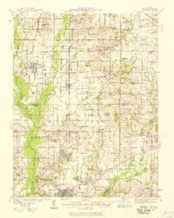
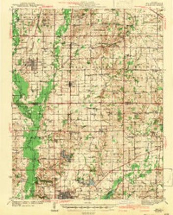
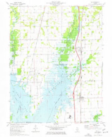
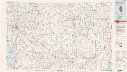
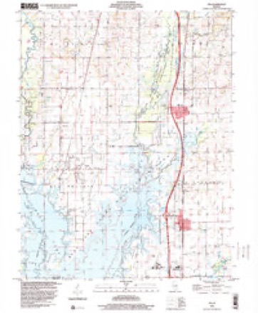
11 topographic sheets cover this place, the earliest surveyed in 1939 and the latest in 1998. It stands in Spring Garden Township. It lies in ZIP code area 62846. The Survey maps it on the Ina quadrangle. 1,641 people lived here at the 2020 count. It stands 430 feet above sea level.
Population over time
2 figuresIna fell from 2,338 to 1,641 between 2010 and 2020. These are the recorded population figures Wikidata holds for this place, reached through the Geographic Names Information System number this page is keyed on rather than by name, so they belong to this place and not to another of the same name. Most are census counts, but not all are: an early figure may be a founding or settlement estimate, and an estimate published within five years of a census is left out. The change column is computed, and is left blank where more than 20 years separate a figure from the one before it, because a gap that long is not a change between two counts.
| Year | People | Change |
|---|---|---|
| 2010 | 2,338 | |
| 2020 | 1,641 | -697 (-30%) |
Topographic sheets covering this place
7 surveys from 11 printed sheetsMatched by testing this settlement's coordinate against the published boundary of every sheet in the United States Geological Survey's historical collection. Each opens the scanned sheet at the Survey.
- 1939 USGS Ina quadrangle1:62500, 2 printings
- 1943 USGS Ina quadrangle1:62500, 2 printings
- 1958 USGS Belleville quadrangle1:250000, 3 printings
- 1962 USGS Belleville quadrangle1:250000
- 1975 USGS Ina quadrangle1:24000
- 1982 USGS Mount Vernon quadrangle1:100000
- 1998 USGS Ina quadrangle1:24000


In the county-history sources
6,301 words on this townshipHistory of Jefferson County, Illinois, published 1883 names this settlement in its chapter on Spring Garden Township. These are the passages that mention it, exactly as the scans read.
connection with his farm, he also ran a store for the accommodation of his neighbors in that township; he only remained three jears, and then exchanged his farm for a hotel in Mt. Vernon, then owned by a Mr. Thomas. It stood (1858) where Pavy and Allan's building now stands. In that hotel he remained until 1865, when he came to Spring Garden Township. Here he first purchased a half-interest in a flouring mill and still house which then stood about one and one-half miles south of the village, but only remained about a month there, and then came to the village, where he has since resided. His first venture in the town was merchandising, and he followed that for about two years; he then opened his hotel, which he still continues to run; he also turned his attention some to stock trading and engaged in that for about three years. He next purchased a harness shop and commenced following the occupation of a harness-maker. He now carries a stock of about $1,500. Mr. Anglen was married in Montgomery County, Tena., on June 10, 1846, to Nancy J. Smith, a daughter of Joseph H. and Nancy (Clifton) Smith, natives of that county. This lady was the mother of five children, of whom four are now living, viz.: H. V., in Princeton, Ky.; E. J., in Huron, Dak.; Thomas, in Macon County, 111., and Lilly, in Princeton, Ky. This lady died February 14, 1864, and subject was married the second time, in Spring Garden Township, May 11, 1865, to Mrs. Nancy F. Williams, a daughter of Joseph Felps, of Robertson County, Tenn. The result of the marriage is one child - Ora Maude. Mr. Anglen has served in numerous county and township offices, among which are Justice of the Peace of Mt. Vernon Township, from 1859 to 1865, and since his arrival in this township he has held the office almost continually ever since. In April, 1872, was appointed School Treasurer, and is still holding that office. Has also served as member of the County Board of Supervisors. Is a member of Williams Lodge, No. 242, I. 0. O. F., of Spring Garden. Has held all the offices in that lodge and is now Past Grand. For the past fifteen years has also served as Trciisuror of that organization; is a member of the Spring Garden Baptist Church. In politics, is an Independent.
Passage source: History of Jefferson County, Illinois, published 1883.
Machine-read from a century-old scan, so expect the errors a machine makes: misspelled names, dropped words, stray characters.
Fires near this place
1 since 2012Regional context, not property-specific evidence. The federal wildfire occurrence database lists 1 fire within 5 miles of Ina in 2012, burning about 1 acre in total. None started naturally. None was recorded as arson. Distance is straight-line from the map coordinates, so a fire counted here may appear on a neighbouring settlement's page as well.
| Reported cause | Fires |
|---|---|
| Missing data/not specified/undetermined | 1 |
The most recent of them, most recent first, with the day each was reported and the service that recorded it.
| Date | Cause | Size | Reported by | Name on the report |
|---|---|---|---|---|
| 31 July 2012 | Missing data/not specified/undetermined | 1.0 acres | Illinois Division of Forestry Resources | SESSER4 |
Settlements close enough to share some of these fires:
Storms near this place
18 since 1996Regional context, not property-specific evidence. The National Weather Service names Ina in 18 storm reports between 1996 and 2020: 8 thunderstorm wind, 8 hail, 2 tornado. No death or injury is recorded in these reports. Each account below is quoted exactly as the forecast office filed it, from the NOAA Storm Events Database, and each date opens the federal record of that event.
| When | Event | Place named | Harm | What the report says |
|---|---|---|---|---|
| April 1996 | Tornado (F3) | Ina | $200,000 | no account filed |
| January 1999 | Thunderstorm Wind | Ina | $30,000 | A barn was destroyed near Ina on Route 154. |
| February 2008 | Thunderstorm Wind | Ina | $20,000 | On Interstate 57, three semis were blown over. Two semis overturned near mile post 81 in southern Jefferson County, and another semi overturned near mile post 103 near Dix. A trained spotter at Ina estimated wind gusts from 55 to 60 mph. |
| April 2011 | Thunderstorm Wind | Ina | $15,000 | At Rend Lake College, the right field wall of the baseball field was blown down. A handful of trees were uprooted. |
| June 2016 | Thunderstorm Wind | Ina | $10,000 | Power lines and trees were down in southern portions of the county near Ina. |
| June 2008 | Thunderstorm Wind | Ina | $10,000 | A greenhouse was blown into a cornfield near Rend Lake College. |
| March 2020 | Thunderstorm Wind | Ina | $3,000 | A large sign was blown over on Interstate 57. Traffic was disrupted for a few hours due to debris. |
| October 2007 | Thunderstorm Wind | Ina | $2,000 | Tree limbs up to 6 inches in diameter were blown down. |
| August 2017 | Tornado (EF0) | Ina | - | A waterspout was photographed over northern Rend Lake between Nason and Ina. The upper portion of the waterspout was not visible in the photo. The lower portion was a narrow, cylindrical column that produced spray where it contacted the lake surface. The waterspout was also reported by an emergency management official. The waterspout was associated with a thunderstorm that produced heavy rain and possibly some small hail. |
| October 2013 | Thunderstorm Wind | Ina | - | A wind gust to 64 mph was measured by a trained spotter. |
| October 2007 | Hail | Ina | - | Quarter size hail fell from a supercell thunderstorm that tracked across northern Franklin County into southeast Jefferson County. |
| April 2005 | Hail | Ina | - | Nickel-size hail covered the ground at Rend Lake College, which is along Interstate 57 near the Ina exit. |
| August 2001 | Hail | Ina | - | Quarter-size hail fell at the Ina exit of Interstate 57. This large hail was the last in a series of severe weather occurrences associated with a supercell thunderstorm that crossed southern Jefferson County. |
| March 2020 | Hail | Ina | - | no account filed |
| July 2008 | Hail | Ina | - | no account filed |
| May 2003 | Hail | Ina | - | no account filed |
| August 2001 | Hail | Ina | - | no account filed |
| June 1999 | Hail | Ina | - | no account filed |
Nearest settlements
The eight closest, with where each one stands in the county. Distances are straight-line, computed from the Geographic Names Information System coordinates.
| Map | Place | Distance | Sheets |
|---|---|---|---|
| Spring Garden | 2.7 miles | 10 | |
| Bonnie | 3.6 miles | 11 | |
| Nason | 3.8 miles | 11 | |
| Dareville | 5.0 miles | 11 | |
| Fitzgerrell (historical) | 5.9 miles | 12 | |
| Bakerville | 7.4 miles | 12 | |
| Emerson City | 7.5 miles | 12 | |
| Harris Grove (historical) | 7.6 miles | 10 |
Elsewhere
Matched on this settlement's Geographic Names Information System number rather than its name, so it cannot be a different place of the same name in another state.
| Wikipedia article on Ina | An encyclopaedic summary. Its text is share-alike, so it is linked here rather than copied. |
| Wikidata item Q2600028 | The structured record the population and elevation above come from. Public domain (CC0). |
Provenance
This settlement is recorded in the Geographic Names Information System as feature 410807. The sheet list is computed by point-in-boundary test against the United States Geological Survey's historical topographic inventory. Both are works of the United States government and carry no copyright under 17 U.S.C. 105.
Wildfire. Short, Karen C. 2022. Spatial wildfire occurrence data for the United States, 1992-2020 [FPA_FOD_20221014]. 6th Edition. Fort Collins, CO: Forest Service Research Data Archive. https://doi.org/10.2737/RDS-2013-0009.6 Collected with United States Government funding and usable without additional permissions or fees.
Storms. NOAA National Centers for Environmental Information, Storm Events Database https://www.ncei.noaa.gov/stormevents/ A work of the United States government, no copyright under 17 U.S.C. 105. Narratives are quoted verbatim from the National Weather Service report and are not edited or summarised.