 Block
Irene, Illinois
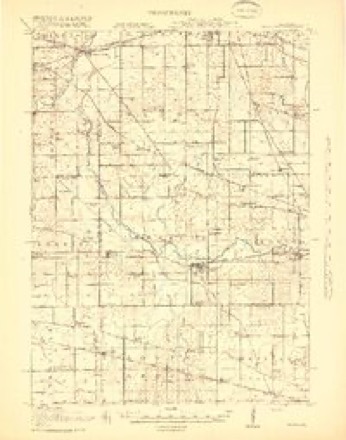
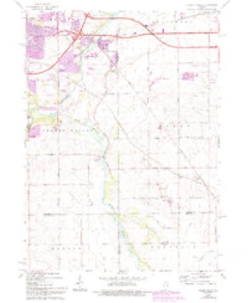
15 topographic sheets cover this place, the earliest surveyed in 1918 and the latest in 1981. It stands in Flora Township. It lies in ZIP code area 61016. The Survey maps it on the Cherry Valley quadrangle. It stands 817 feet above sea level.
Topographic sheets covering this place
7 surveys from 15 printed sheetsMatched by testing this settlement's coordinate against the published boundary of every sheet in the United States Geological Survey's historical collection. Each opens the scanned sheet at the Survey.
- 1918 USGS Kirkland quadrangle1:62500, 4 printings
- 1954 USGS Rockford quadrangle1:250000
- 1955 USGS Rockford quadrangle1:250000
- 1958 USGS Rockford quadrangle1:250000, 4 printings
- 1963 USGS Rockford quadrangle1:250000
- 1968 USGS Cherry Valley quadrangle1:24000, 3 printings
- 1981 USGS Elgin quadrangle1:100000





Mines and quarries near this place
6 within 5 milesRegional context, not property-specific evidence. The federal mineral resources record lists 6 workings within 5 miles of Irene: 3 past producers, 3 producers. 3 still produce. What was taken out: Stone, Crushed/Broken, Sand and Gravel, Construction. Distance is straight-line from the map coordinates, so a quarry counted here may appear on a neighbouring settlement's page as well.
| Where | Site | Commodity | Status | Recorded |
|---|---|---|---|---|
| Cherry Valley Sand & Gravel | Sand and Gravel, Construction | Producer | ||
| Belvidere Quarry | Stone, Crushed/Broken | Past Producer | ||
| Irene Quarry & Mill #3 | Stone, Crushed/Broken | Producer | ||
| J. Vowles Quarry | Stone, Crushed/Broken | Past Producer | ||
| Lee Quarry | Stone, Crushed/Broken | Producer | ||
| Thebes Limestone Mine Quarry | Stone, Crushed/Broken | Past Producer |
Storms near this place
10 since 2000Regional context, not property-specific evidence. The National Weather Service names Irene in 10 storm reports between 2000 and 2023: 5 tornado, 2 hail, 1 flash flood, 1 flood. The reports record 1 death and 40 injuries. Each account below is quoted exactly as the forecast office filed it, from the NOAA Storm Events Database, and each date opens the federal record of that event.
| When | Event | Place named | Harm | What the report says |
|---|---|---|---|---|
| March 2023 | Tornado (EF1) | Irene | 1 killed, 40 hurt | This tornado crossed into Boone County south of Cherry Valley from Winnebago County. The tornado, which originated in Ogle County, traversed northeastward doing minor damage to farms. As it moved through the town of Belvidere, the storm produced multiple instances of damage to businesses, homes, and trees. Included in this is the partial roof collapse of the Apollo Theatre downtown which resulted in one fatality and 40 injuries. From there, the tornado would travel another 7 miles doing additional damage to trees before lifting near Orth Rd just west of the Boone-McHenry county line. |
| April 2015 | Tornado (EF1) | Irene | $75,000 | This is a continuation of a tornado that began in Dekalb County. This tornado was identified from a storm chaser video and survey. Three barns were destroyed on Pearl Street Road. Maximum winds speeds were estimated to be 110 mph. (Tornado 4b of 7). |
| June 2008 | Tornado (EF1) | Irene | $25,000 | A tornado touched down southwest of the intersection of Bloods Point Road and Stone Quarry Road. The tornado snapped and uprooted trees and damaged or destroyed farm buildings. The tornado moved northeast and crossed Pearl Street where a hay barn collapsed and a large grain bin was damaged. The tornado passed over Route 4 near Huber Road then finally lifted southwest of Interstate 90 near Fruit Farm Road. |
| August 2022 | Thunderstorm Wind | Irene | - | Tree limbs were blown down. |
| April 2022 | Hail | Irene | - | Quarter to ping pong ball size hail was reported. |
| June 2017 | Tornado (EF1) | Irene | - | An EF1 tornado with maximum winds of 100 mph touched down near Burton and River Roads in southeast Winnebago County and quickly crossed into Boone County, just south of Burton Road. The tornado moved southeast until it reached Bates Road, where it began to move mainly eastward. Damage was mainly to trees with some minor property damage. The tornado ended near Bates Road and Pearl Street. |
| April 2015 | Tornado (EF0) | Irene | - | This is the fourth segment of the Rochelle-Fairdale EF-4 tornado. At its strongest, peak winds were estimated to be 200 mph. The tornado entered Boone County just east of Irene Road. No damage occurred and the tornado lifted shortly after entering the county. (Tornado 2d of 7). |
| July 2010 | Flash Flood | Irene | - | Heavy rain fell during the early morning hours of July 24th and produced flooding across central and southern Boone County. The intersection of Flora Church and Wheeler Roads was closed due to flooding. Storm total rainfall of 4.40 inches was measured in Belvidere. |
| July 2010 | Flood | Irene | - | After heavy rain and flash flooding during the early morning hours of July 24th, flooding continued through the evening hours. |
| May 2000 | Hail | Irene | - | no account filed |
Nearest settlements
The eight closest, with where each one stands in the county. Distances are straight-line, computed from the Geographic Names Information System coordinates.
| Map | Place | Distance | Sheets |
|---|---|---|---|
| Edgewood | 5.0 miles | 15 | |
| Prairie View | 5.2 miles | 15 | |
| Reeds Crossing (historical) | 5.8 miles | 15 | |
| Greenview Estates | 6.1 miles | 14 | |
| Herbert | 6.7 miles | 15 | |
| Belvidere | 7.1 miles | 14 | |
| Garden Prairie | 10.9 miles | 14 | |
| Timberlane | 11.5 miles | 14 |
Elsewhere
Matched on this settlement's Geographic Names Information System number rather than its name, so it cannot be a different place of the same name in another state.
| Wikipedia article on Irene | An encyclopaedic summary. Its text is share-alike, so it is linked here rather than copied. |
| Wikidata item Q6068893 | The structured record the population and elevation above come from. Public domain (CC0). |
Provenance
This settlement is recorded in the Geographic Names Information System as feature 410916. The sheet list is computed by point-in-boundary test against the United States Geological Survey's historical topographic inventory. Both are works of the United States government and carry no copyright under 17 U.S.C. 105.
Mines and quarries. USGS Mineral Resources Data System (MRDS) https://mrdata.usgs.gov/mrds/ A work of the United States government, no copyright under 17 U.S.C. 105.
Storms. NOAA National Centers for Environmental Information, Storm Events Database https://www.ncei.noaa.gov/stormevents/ A work of the United States government, no copyright under 17 U.S.C. 105. Narratives are quoted verbatim from the National Weather Service report and are not edited or summarised.