 Block
Ivesdale, Illinois
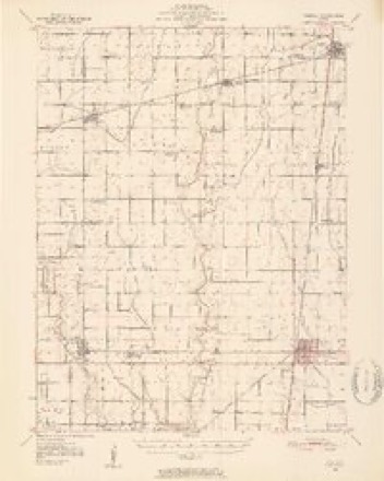
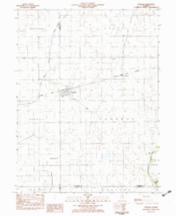
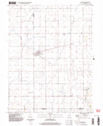
14 topographic sheets cover this place, the earliest surveyed in 1950 and the latest in 1998. It stands in Sadorus Township. It lies in ZIP code area 61851. The Survey maps it on the Ivesdale quadrangle.
Topographic sheets covering this place
7 surveys from 14 printed sheetsMatched by testing this settlement's coordinate against the published boundary of every sheet in the United States Geological Survey's historical collection. Each opens the scanned sheet at the Survey.
- 1950 USGS Tuscola quadrangle1:62500, 4 printings
- 1958 USGS Decatur quadrangle1:250000, 3 printings
- 1961 USGS Decatur quadrangle1:250000, 2 printings
- 1975 USGS Tuscola NW quadrangle1:24000
- 1983 USGS Ivesdale quadrangle1:24000
- 1985 USGS Decatur quadrangle1:100000, 2 printings
- 1998 USGS Ivesdale quadrangle1:24000




Storms near this place
19 since 1995Regional context, not property-specific evidence. The National Weather Service names Ivesdale in 19 storm reports between 1995 and 2023: 10 hail, 5 thunderstorm wind, 2 tornado, 2 flash flood. No death or injury is recorded in these reports. Each account below is quoted exactly as the forecast office filed it, from the NOAA Storm Events Database, and each date opens the federal record of that event.
| When | Event | Place named | Harm | What the report says |
|---|---|---|---|---|
| May 2012 | Tornado (EF1) | Ivesdale | $25,000 | A tornado touched down about 3.5 miles northeast of Ivesdale at 4:06 PM CDT then tracked northeastward for 8 miles before lifting 2 miles west of Willard Airport at 4:17 PM CDT. The tornado damaged the roof and windows of a house, overturned a trailer, damaged a corn crib and chicken coop, and knocked down 6 trees along its path. |
| May 2019 | Thunderstorm Wind | Ivesdale | - | Power lines were blown down. |
| June 2019 | Thunderstorm Wind | Ivesdale | - | A large tree branch was blown down. |
| July 2010 | Flash Flood | Ivesdale | - | Slow moving thunderstorms produced rainfall rates of 1.50 per hour for nearly two in a small part of southern Champaign County. Several rural roads were flooded, as well as parts of U.S. Highway 45 between Pesotum and the county line. |
| May 2009 | Flash Flood | Ivesdale | - | Heavy rain of 2.50 to 4.00 inches within three hours produced significant flash flooding of most roads in extreme southern Champaign County. |
| May 2006 | Tornado (F0) | Ivesdale | - | The tornado touched down in a field. No damage or injuries were reported. The tornado continued into Douglas County. |
| June 2002 | Thunderstorm Wind | Ivesdale | - | A 16 inch diameter tree was snapped off due to thunderstorm winds. |
| August 2001 | Hail | Ivesdale | - | Hail ranging from dime to golf ball size was reported in Ivesdale, Tolono, Pesotum, Philo and Broadlands. |
| February 1999 | Thunderstorm Wind | Ivesdale | - | In Ivesdale, a garage was blown 20 feet off its foundation. Three miles south of Champaign, several trees and power poles were blown down. Also, 3 houses sustained siding damage and a motor home was blown over. In Champaign, part of the roof of the YMCA was damaged and railroad crossing arms were broken at 2 crossings. No injuries reported and no damage estimate was available. |
| May 1995 | Thunderstorm Wind | Ivesdale | - | Power lines down. One home had roof damage from a fallen tree and other homes had minor wind damage. |
| February 2023 | Hail | Ivesdale | - | no account filed |
| April 2022 | Hail | Ivesdale | - | no account filed |
| May 2017 | Hail | Ivesdale | - | no account filed |
| April 2006 | Hail | Ivesdale | - | no account filed |
| April 2003 | Hail | Ivesdale | - | no account filed |
| May 2003 | Hail | Ivesdale | - | no account filed |
| May 2000 | Hail | Ivesdale | - | no account filed |
| August 2000 | Hail | Ivesdale | - | no account filed |
| May 1998 | Hail | Ivesdale | - | no account filed |
Nearest settlements
The eight closest, with where each one stands in the county. Distances are straight-line, computed from the Geographic Names Information System coordinates.
Provenance
This settlement is recorded in the Geographic Names Information System as feature 410981. The sheet list is computed by point-in-boundary test against the United States Geological Survey's historical topographic inventory. Both are works of the United States government and carry no copyright under 17 U.S.C. 105.
Storms. NOAA National Centers for Environmental Information, Storm Events Database https://www.ncei.noaa.gov/stormevents/ A work of the United States government, no copyright under 17 U.S.C. 105. Narratives are quoted verbatim from the National Weather Service report and are not edited or summarised.