 Block
Kane, Illinois
12 topographic sheets cover this place, the earliest surveyed in 1930 and the latest in 1985. It stands in Kane Township. It lies in ZIP code area 62054. The Survey maps it on the Jerseyville North quadrangle. 296 people lived here at the 2020 count. It stands 561 feet above sea level.
Population over time
2 figuresKane fell from 438 to 296 between 2010 and 2020. These are the recorded population figures Wikidata holds for this place, reached through the Geographic Names Information System number this page is keyed on rather than by name, so they belong to this place and not to another of the same name. Most are census counts, but not all are: an early figure may be a founding or settlement estimate, and an estimate published within five years of a census is left out. The change column is computed, and is left blank where more than 20 years separate a figure from the one before it, because a gap that long is not a change between two counts.
| Year | People | Change |
|---|---|---|
| 2010 | 438 | |
| 2020 | 296 | -142 (-32%) |
Topographic sheets covering this place
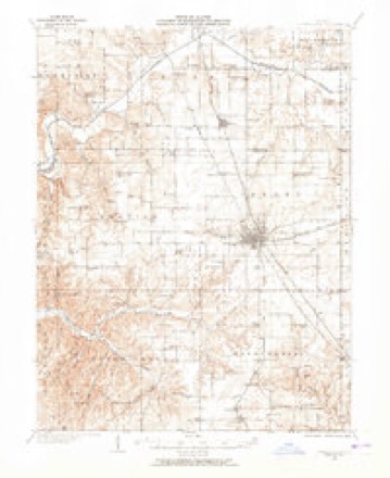
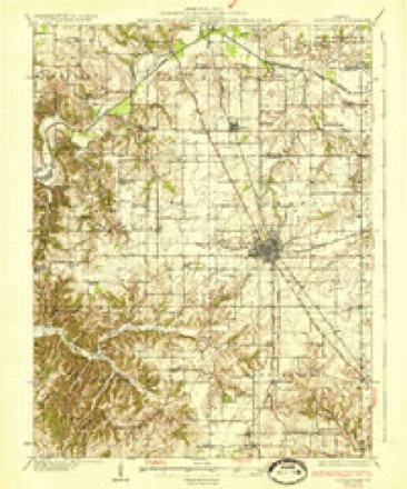
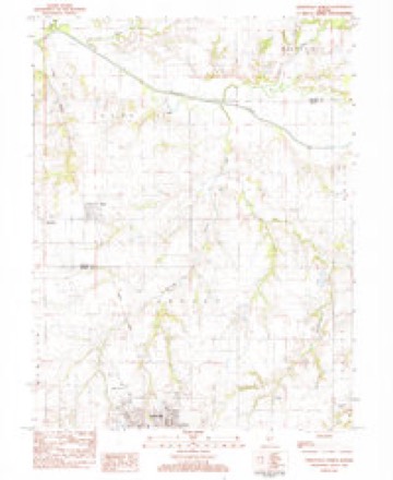
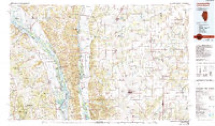
6 surveys from 12 printed sheetsMatched by testing this settlement's coordinate against the published boundary of every sheet in the United States Geological Survey's historical collection. Each opens the scanned sheet at the Survey.
- 1930 USGS Jerseyville quadrangle1:62500, 2 printings
- 1933 USGS Jerseyville quadrangle1:62500, 2 printings
- 1948 USGS Quincy quadrangle1:250000, 2 printings
- 1956 USGS Quincy quadrangle1:250000, 3 printings
- 1983 USGS Jerseyville North quadrangle1:24000
- 1985 USGS Jerseyville quadrangle1:100000, 2 printings


In the county-history sources
4,851 words on this townshipHistory of Greene County, Illinois : Its Past and Present, Containing a History of the County ; Its Cities, Towns, Etc. ; a Biographical Directory of Its Citizens ; War Record.., published 1879 names this settlement in its chapter on Kane Township. These are the passages that mention it, exactly as the scans read.
There have been in the history of the county two places about a mile apart, having the name of Kane. One of these. Old Kane (or Homer as it was formerly called) is situated in Township 9, Range 12, and the other, New Kane, is in Township 9, Range 11. As a preliminary to a sketch of New Kane which is at present the center of trade and activity, some notice of the old town should be given. The first settlements ever made in Greene County were probably in Township 9, Range 12. Here it was that Daniel Allen and his sons Daniel, Jr. and James made improvements in 1816, having spent the previous Winter on the Macoupin opposite the mouth of Taylor's Creek, in what is now Jersey County. They were followed not long after by R. B. Huitt, Rev. C. J. Gardiner and John King. Shortly before the year 1830, came Gen. Jacob Fry and James Stone. In 1836, a man by the name of Stedman, Alexander Smith, Jacob Backus, Enoch Backus, Col. N. M. Perry and others resided near Section 36, on which Old Kane is situated. They were a long distance from any market, Jerseyville on the south and Carrollton on the north were their nearest towns and each was seven or eio-ht miles awa3^ There was a beautiful location for a village on Section 36 and the propriety of establishing a new town was often discussed. Col. N. M. Perry, now deceased, was prominent in these deliberations, as were also Z. H. Adams and a Mr. Brainerd. Col. Perry was the first to settle in the town and he sold the first lot. Z. H. Adams built the first store, where he sold drugs, groceries, calicoes and all the raisellaneous merchandise necessary in a new country. Col. Perry erected the second store building in the now rapidly growing village. He was a gentleman of great activity and occupied a very prominent place in the history of the county. He sold goods in this town for some time and quite successfully until the panic forced him to retire from business for a time. He subsequently resumed business and continued as a merchant in the place for about thirt}' years. Very soon a dwelling house was built by Samuel Pope and he erected the first blacksmith shop. In 1838, the Baptists began the erection of a church in the town, which was completed soon after. It is still standing, one of the old landmarks of the county. The Methodists erected a building later. Although surrounded by some of the richest farming lands in the State, there were few natural advantages to assist the town to a rapid growth.
Passage source: History of Greene County, Illinois : Its Past and Present, Containing a History of the County ; Its Cities, Towns, Etc. ; a Biographical Directory of Its Citizens ; War Record.., published 1879.
In 1854, when Josiah T. Hunt with Mr. Ollendorf his assistant was making the preliminary survey for the railroad, now known as the Jacksonville branch of the Chicago and Alton, it was earnestly hoped by the citizens of Kane that the road might pass through that town. The engineer made every effort to find a feasible route by which this could be accomplished, but when he made his report at the completion of his work he stated that he regretted exceedingly that it was impracticable. Three lines were run, but the nearest of them left Kane a half mile to the west and the route finally adopted was still further distant. The road was opened from White Hall to Godfrey, January 1, 1865, and in November of that year, Tobias Holliday, who owned a tract of land on the railroad, laid out a town on the east side of the road which was known until the establishment of the post office as HoUidaysburg. Subsequently HoUiday's addition west of the track was annexed and became the business center of the town.
Passage source: History of Greene County, Illinois : Its Past and Present, Containing a History of the County ; Its Cities, Towns, Etc. ; a Biographical Directory of Its Citizens ; War Record.., published 1879.
Some time after the town was laid out Thomas Boyd, a leading citizen of Carrollton, of considerable wealth, purchased a tract of land near the town which he divided into lots and sold. This is now known as Boyd's addition to Kane, and a large number of residences have been built upon it. Elder Joel Terry, on his decease, devised to his family a farm of 160 acres, part of which lay within the corporation limits of Kane. A part of this tract sold at public sale in behalf of the heirs was subsequently laid ofiF in lots, and formed that part of the town known as Terry's addition. The place soon adopted the name of its older neighbor, and became known as Kane, or to distinguish it from the original bearer of that name. New Kane.
Passage source: History of Greene County, Illinois : Its Past and Present, Containing a History of the County ; Its Cities, Towns, Etc. ; a Biographical Directory of Its Citizens ; War Record.., published 1879.
Machine-read from a century-old scan, so expect the errors a machine makes: misspelled names, dropped words, stray characters.
Read the whole chapter on Kane Township - it names this place 16 more 16 times.
Fires near this place
2 since 2007Regional context, not property-specific evidence. The federal wildfire occurrence database lists 2 fires within 5 miles of Kane in 2007, burning about 3 acres in total. None started naturally. None was recorded as arson. Distance is straight-line from the map coordinates, so a fire counted here may appear on a neighbouring settlement's page as well.
| Reported cause | Fires |
|---|---|
| Missing data/not specified/undetermined | 2 |
The most recent of them, most recent first, with the day each was reported and the service that recorded it.
| Date | Cause | Size | Reported by | Name on the report |
|---|---|---|---|---|
| 1 September 2007 | Missing data/not specified/undetermined | 1.0 acres | Illinois Division of Forestry Resources | not named |
| 19 July 2007 | Missing data/not specified/undetermined | 2.0 acres | Illinois Division of Forestry Resources | not named |
Settlements close enough to share some of these fires:
Mines and quarries near this place
1 within 5 milesRegional context, not property-specific evidence. The federal mineral resources record lists 1 working within 5 miles of Kane: 1 past producer. None of them still produces. What was taken out: Stone. Distance is straight-line from the map coordinates, so a quarry counted here may appear on a neighbouring settlement's page as well.
| Where | Site | Commodity | Status | Recorded |
|---|---|---|---|---|
| Jersey Cty Hwy Dept Pit | Stone | Past Producer |
Storms near this place
1 since 2005Regional context, not property-specific evidence. The National Weather Service names Kane in 1 storm report in 2005: 1 hail. No death or injury is recorded in these reports. Each account below is quoted exactly as the forecast office filed it, from the NOAA Storm Events Database, and each date opens the federal record of that event.
| When | Event | Place named | Harm | What the report says |
|---|---|---|---|---|
| June 2005 | Hail | Kane | - | A storm spotter reported 1 inch hail. |
Nearest settlements
The eight closest, with where each one stands in the county. Distances are straight-line, computed from the Geographic Names Information System coordinates.
| Map | Place | Distance | Sheets |
|---|---|---|---|
| Old Kane | 1.0 miles | 12 | |
| Jalapa | 2.6 miles | 12 | |
| Mid City (historical) | 3.0 miles | 12 | |
| Conwayville (historical) | 4.0 miles | 12 | |
| Carrollton | 8.2 miles | 12 | |
| Woody | 8.6 miles | 12 | |
| Kaser | 9.6 miles | 12 | |
| Rockbridge | 9.6 miles | 11 |
Elsewhere
Matched on this settlement's Geographic Names Information System number rather than its name, so it cannot be a different place of the same name in another state.
| Wikipedia article on Kane | An encyclopaedic summary. Its text is share-alike, so it is linked here rather than copied. |
| Wikidata item Q2502483 | The structured record the population and elevation above come from. Public domain (CC0). |
Provenance
This settlement is recorded in the Geographic Names Information System as feature 411296. The sheet list is computed by point-in-boundary test against the United States Geological Survey's historical topographic inventory. Both are works of the United States government and carry no copyright under 17 U.S.C. 105.
Wildfire. Short, Karen C. 2022. Spatial wildfire occurrence data for the United States, 1992-2020 [FPA_FOD_20221014]. 6th Edition. Fort Collins, CO: Forest Service Research Data Archive. https://doi.org/10.2737/RDS-2013-0009.6 Collected with United States Government funding and usable without additional permissions or fees.
Mines and quarries. USGS Mineral Resources Data System (MRDS) https://mrdata.usgs.gov/mrds/ A work of the United States government, no copyright under 17 U.S.C. 105.
Storms. NOAA National Centers for Environmental Information, Storm Events Database https://www.ncei.noaa.gov/stormevents/ A work of the United States government, no copyright under 17 U.S.C. 105. Narratives are quoted verbatim from the National Weather Service report and are not edited or summarised.