 Block
Macoupin, Illinois
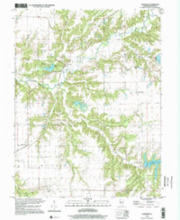
12 topographic sheets cover this place, the earliest surveyed in 1912 and the latest in 1998. It stands in Polk Township. It lies in ZIP code area 62626. It stands on Hurricane Creek. The Survey maps it on the Plainview quadrangle.
Topographic sheets covering this place
7 surveys from 12 printed sheetsMatched by testing this settlement's coordinate against the published boundary of every sheet in the United States Geological Survey's historical collection. Each opens the scanned sheet at the Survey.
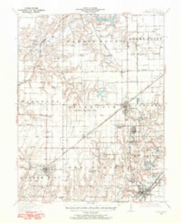
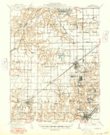
- 1912 USGS Gillespie quadrangle1:62500
- 1915 USGS Gillespie quadrangle1:62500, 3 printings
- 1958 USGS Decatur quadrangle1:250000, 3 printings
- 1961 USGS Decatur quadrangle1:250000, 2 printings
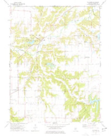
- 1974 USGS Plainview quadrangle1:24000
- 1982 USGS Litchfield quadrangle1:100000
- 1998 USGS Plainview quadrangle1:24000


In the county-history sources
604 words on this townshipHistory of Macoupin County, Illinois : Biographical and Pictorial, published 1911 names this settlement in its chapter on Polk Township. These are the passages that mention it, exactly as the scans read.
Polk township is located in the western half of Macoupin county and is bounded on the north by Bird, on the east by Brushy Mound, on the south by Hilyard and on the west by Chesterfield townships. The soil is very rich and productive, being drained by Macoupin creek and its tributaries, the principal ones of which are Silver creek, Lick creek, Dry fork, May's branch and Sugar creek. Along these streams was originally found timber, consisting of oak, maple, hickory, white and red elm, black and white walnut, sycamore and cottonwood. There is still some timber to be found in this region. Along the water courses the land is broken and rolling but in the valley and bottom fine grazing land is to be found.
Passage source: History of Macoupin County, Illinois : Biographical and Pictorial, published 1911.
The first settlements were made in this township in 1825, when Daniel Deadrick, Irvin Smith, Shadrach Reddick and Abraham Smith came with their families and located near where the Chicago & Alton railroad crosses Macoupin creek. Each erected a log cabin and began to improve a farm.
Passage source: History of Macoupin County, Illinois : Biographical and Pictorial, published 1911.
The early settlers had to go long distances to mill, sometimes going to John Irvin's mill south of Carrollton, in Greene county, and at other times to Tegard's mill, east of Carlinville. There was no mill in Polk township until 1850, when Stephen Marshall erected a grist mill, which was located on section 28, on Macoupin creek and was run by water power.
Passage source: History of Macoupin County, Illinois : Biographical and Pictorial, published 1911.
Machine-read from a century-old scan, so expect the errors a machine makes: misspelled names, dropped words, stray characters.
Mines and quarries near this place
2 within 5 milesRegional context, not property-specific evidence. The federal mineral resources record lists 2 workings within 5 miles of Macoupin: 2 occurrences. None of them still produces. What was taken out: Stone, Crushed/Broken. Distance is straight-line from the map coordinates, so a quarry counted here may appear on a neighbouring settlement's page as well.
| Where | Site | Commodity | Status | Recorded |
|---|---|---|---|---|
| Limestone Prospect | Stone, Crushed/Broken | Occurrence | ||
| Limestone Prospect | Stone, Crushed/Broken | Occurrence |
Nearest settlements
The eight closest, with where each one stands in the county. Distances are straight-line, computed from the Geographic Names Information System coordinates.
| Map | Place | Distance | Sheets |
|---|---|---|---|
| Plainview | 4.1 miles | 12 | |
| Comer | 5.5 miles | 14 | |
| Carlinville | 6.1 miles | 14 | |
| Chesterfield | 6.3 miles | 11 | |
| Enos | 6.6 miles | 11 | |
| Royal Lakes | 7.1 miles | 12 | |
| Reader | 7.8 miles | 11 | |
| Centerville | 7.8 miles | 12 |
Elsewhere
Matched on this settlement's Geographic Names Information System number rather than its name, so it cannot be a different place of the same name in another state.
| Wikidata item Q122590807 | The structured record the population and elevation above come from. Public domain (CC0). |
Provenance
This settlement is recorded in the Geographic Names Information System as feature 422929. The sheet list is computed by point-in-boundary test against the United States Geological Survey's historical topographic inventory. Both are works of the United States government and carry no copyright under 17 U.S.C. 105.
Mines and quarries. USGS Mineral Resources Data System (MRDS) https://mrdata.usgs.gov/mrds/ A work of the United States government, no copyright under 17 U.S.C. 105.