 Block
Mansfield, Illinois
14 topographic sheets cover this place, the earliest surveyed in 1937 and the latest in 1990. It stands in Blue Ridge Township. It lies in ZIP code area 61854. The Survey maps it on the Mansfield quadrangle. 928 people lived here at the 2020 count. It stands 727 feet above sea level.
Population over time
3 figuresMansfield fell from 949 to 928 between 2000 and 2020. These are the recorded population figures Wikidata holds for this place, reached through the Geographic Names Information System number this page is keyed on rather than by name, so they belong to this place and not to another of the same name. Most are census counts, but not all are: an early figure may be a founding or settlement estimate, and an estimate published within five years of a census is left out. The change column is computed, and is left blank where more than 20 years separate a figure from the one before it, because a gap that long is not a change between two counts.
| Year | People | Change |
|---|---|---|
| 2000 | 949 | |
| 2010 | 906 | -43 (-5%) |
| 2020 | 928 | +22 (+2%) |
Topographic sheets covering this place
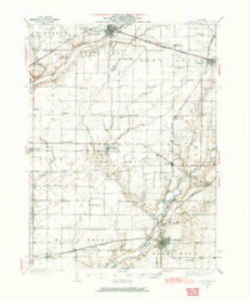
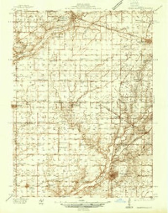
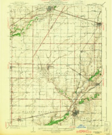
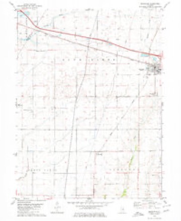
9 surveys from 14 printed sheetsMatched by testing this settlement's coordinate against the published boundary of every sheet in the United States Geological Survey's historical collection. Each opens the scanned sheet at the Survey.
- 1937 USGS Monticello quadrangle1:62500
- 1937 USGS Monticello quadrangle1:48000
- 1943 USGS Monticello quadrangle1:62500, 2 printings
- 1958 USGS Peoria quadrangle1:250000, 4 printings
- 1961 USGS Peoria quadrangle1:250000
- 1963 USGS Peoria quadrangle1:250000
- 1979 USGS Mansfield quadrangle1:24000
- 1985 USGS Champaign quadrangle1:100000, 2 printings
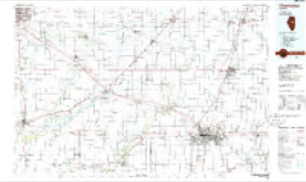
- 1990 USGS Peoria quadrangle1:250000




In the county-history sources
1,092 words on this townshipHistory of Piatt County; Together with a Brief History of Illinois from the Discovery of the Upper Mississippi to the Present Time, published 1883 names this settlement in its chapter on Blue Ridge Township. These are the passages that mention it, exactly as the scans read.
Mansfield. - Gen. J. L. Mansfield moved, in 18TO, to his farm upon which he laid out the town, which was named in his honor. This gentleman did a very great deal in the way of donations and in using his influence for the advancement of the town. His death was much lamented, and the growth of the town was thereby retarded.
Passage source: History of Piatt County; Together with a Brief History of Illinois from the Discovery of the Upper Mississippi to the Present Time, published 1883.
The first birth in the place was that of Josephine Ruch, a daughter of Uriah Ruch. Dr. J. J. Tremble was the first physician, and Dr. Scott came not long after him. The first Sunday school was held October 16, 1870, in Gen. Mansfield's dining-room. After this the Sunday school was held in the depot. In 1871 Mr. Bailey built and opened the first store of the town. Sam'l Alexander opened the second store in 1873. This store was owned by Alexander, Taylor & Co.
Passage source: History of Piatt County; Together with a Brief History of Illinois from the Discovery of the Upper Mississippi to the Present Time, published 1883.
Churches. - It was probably through the influence of Mrs Mansfield more than that of any one else that the Episcopal church was erected about 1873 or 187-t. 'Tis a neat little chapel, and a credit to the town. In 1870 a minister was obtained from Champaign, and since that time missionary ministers have been employed. Albert E. Wells was the first minister.
Passage source: History of Piatt County; Together with a Brief History of Illinois from the Discovery of the Upper Mississippi to the Present Time, published 1883.
Machine-read from a century-old scan, so expect the errors a machine makes: misspelled names, dropped words, stray characters.
Read the whole chapter on Blue Ridge Township - it names this place 3 more 3 times.
Fires near this place
6 since 2008Regional context, not property-specific evidence. The federal wildfire occurrence database lists 6 fires within 5 miles of Mansfield between 2008 and 2009, burning about 15 acres in total. None started naturally. None was recorded as arson. Distance is straight-line from the map coordinates, so a fire counted here may appear on a neighbouring settlement's page as well.
| Reported cause | Fires |
|---|---|
| Missing data/not specified/undetermined | 4 |
| Smoking | 1 |
| Equipment and vehicle use | 1 |
The most recent of them, most recent first, with the day each was reported and the service that recorded it.
| Date | Cause | Size | Reported by | Name on the report |
|---|---|---|---|---|
| 29 May 2008 | Missing data/not specified/undetermined | 1.0 acres | Illinois Division of Forestry Resources | WF6 |
| 22 April 2008 | Smoking | 1.0 acres | Illinois Division of Forestry Resources | WF5 |
| 26 March 2008 | Missing data/not specified/undetermined | 5.0 acres | Illinois Division of Forestry Resources | WF2 |
| 19 March 2009 | Missing data/not specified/undetermined | 5.0 acres | Illinois Division of Forestry Resources | BEASLEY |
| 16 February 2008 | Equipment and vehicle use | 1.0 acres | Illinois Division of Forestry Resources | WF4 |
| 23 November 2008 | Missing data/not specified/undetermined | 2.0 acres | Illinois Division of Forestry Resources | WF3 |
Settlements close enough to share some of these fires:
Mines and quarries near this place
5 within 5 milesRegional context, not property-specific evidence. The federal mineral resources record lists 5 workings within 5 miles of Mansfield: 3 past producers, 2 producers. 2 still produce. What was taken out: Sand and Gravel, Construction. Distance is straight-line from the map coordinates, so a quarry counted here may appear on a neighbouring settlement's page as well.
| Where | Site | Commodity | Status | Recorded |
|---|---|---|---|---|
| Dale Pit | Sand and Gravel, Construction | Past Producer | ||
| Gibson Pit | Sand and Gravel, Construction | Producer | ||
| Manthel Pit No. 5 | Sand and Gravel, Construction | Past Producer | ||
| Musick Pit | Sand and Gravel, Construction | Past Producer | ||
| Webb Pit | Sand and Gravel, Construction | Producer |
Storms near this place
19 since 1999Regional context, not property-specific evidence. The National Weather Service names Mansfield in 19 storm reports between 1999 and 2025: 12 thunderstorm wind, 3 tornado, 3 hail, 1 flash flood. The reports record 1 injury. Each account below is quoted exactly as the forecast office filed it, from the NOAA Storm Events Database, and each date opens the federal record of that event.
| When | Event | Place named | Harm | What the report says |
|---|---|---|---|---|
| July 2004 | Thunderstorm Wind | Mansfield | 1 hurt, $800,000 | Numerous trees, tree limbs and power lines were blown down. Several fallen trees landed on homes causing minor to moderate damage. A grain elevator sustained minor damage. Also, a semi was blown over on I-74 near Mansfield. The driver sustained minor injuries. |
| July 2020 | Thunderstorm Wind | Mansfield | $50,000 | Power poles and power lines were blown down. |
| April 2011 | Thunderstorm Wind | Mansfield | $45,000 | Several grain bins were blown over. |
| June 2009 | Thunderstorm Wind | Mansfield | $30,000 | Numerous trees and power lines were blown down. |
| June 2009 | Thunderstorm Wind | Mansfield | $25,000 | Several trees were blown down, causing damage to a home. |
| June 2018 | Thunderstorm Wind | Mansfield | $15,000 | Numerous trees were blown down in Mansfield. |
| July 2020 | Thunderstorm Wind | Mansfield | $10,000 | Downburst winds caused crop damage and snapped tree branches just south of Mansfield. |
| November 2013 | Thunderstorm Wind | Mansfield | $4,000 | A large tree was blown over and several small branches were knocked down. One small storage shed was flipped over. |
| April 2025 | Thunderstorm Wind | Mansfield | - | A few trees were damaged. |
| April 2025 | Thunderstorm Wind | Mansfield | - | A few outbuildings were damaged in Mansfield. |
| June 2020 | Flash Flood | Mansfield | - | Parts of Highway 150 were flooded from Mansfield eastward to the Champaign County border. |
| May 2004 | Thunderstorm Wind | Mansfield | - | Several trees and power lines were blown down. |
| June 2000 | Thunderstorm Wind | Mansfield | - | Several trees blown down. |
| June 2000 | Tornado (F0) | Mansfield | - | A tornado made a series of brief touchdowns over a 2.6 mile long path. The tornado made its first touchdown 1 mile southeast of Mansfield (Piatt County) and destroyed a barn. As it traveled to the southeast, it crossed into Champaign County, 2.5 miles west of Mahomet. The final touchdown was 1.5 miles west-southwest of Mahomet, where a house sustained moderate damage to one outside wall. No injuries were reported. |
| June 1999 | Tornado (F0) | Mansfield | - | A tornado briefly touched down in field. No damage was reported. |
| June 1999 | Tornado (F0) | Mansfield | - | A tornado briefly touched down in a field. No damage was reported. |
| June 2023 | Hail | Mansfield | - | no account filed |
| April 2006 | Hail | Mansfield | - | no account filed |
| April 2003 | Hail | Mansfield | - | no account filed |
Nearest settlements
The eight closest, with where each one stands in the county. Distances are straight-line, computed from the Geographic Names Information System coordinates.
| Map | Place | Distance | Sheets |
|---|---|---|---|
| Blue Ridge | 4.0 miles | 14 | |
| Galesville | 4.7 miles | 14 | |
| Harris | 4.8 miles | 14 | |
| Centerville | 6.1 miles | 18 | |
| Lodge | 7.8 miles | 14 | |
| Combs | 8.4 miles | 14 | |
| White Heath | 8.7 miles | 14 | |
| De Land | 9.6 miles | 14 |
Elsewhere
Matched on this settlement's Geographic Names Information System number rather than its name, so it cannot be a different place of the same name in another state.
| Wikipedia article on Mansfield | An encyclopaedic summary. Its text is share-alike, so it is linked here rather than copied. |
| Wikidata item Q2489099 | The structured record the population and elevation above come from. Public domain (CC0). |
Provenance
This settlement is recorded in the Geographic Names Information System as feature 412906. The sheet list is computed by point-in-boundary test against the United States Geological Survey's historical topographic inventory. Both are works of the United States government and carry no copyright under 17 U.S.C. 105.
Wildfire. Short, Karen C. 2022. Spatial wildfire occurrence data for the United States, 1992-2020 [FPA_FOD_20221014]. 6th Edition. Fort Collins, CO: Forest Service Research Data Archive. https://doi.org/10.2737/RDS-2013-0009.6 Collected with United States Government funding and usable without additional permissions or fees.
Mines and quarries. USGS Mineral Resources Data System (MRDS) https://mrdata.usgs.gov/mrds/ A work of the United States government, no copyright under 17 U.S.C. 105.
Storms. NOAA National Centers for Environmental Information, Storm Events Database https://www.ncei.noaa.gov/stormevents/ A work of the United States government, no copyright under 17 U.S.C. 105. Narratives are quoted verbatim from the National Weather Service report and are not edited or summarised.