 Block
Martinsville, Illinois
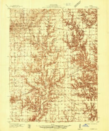
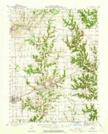
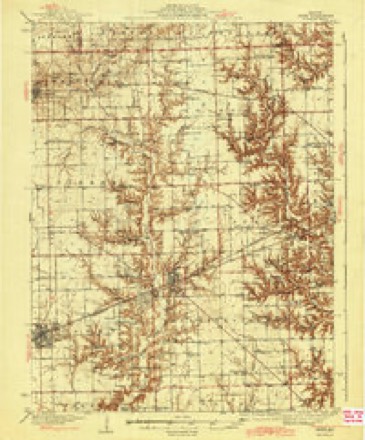
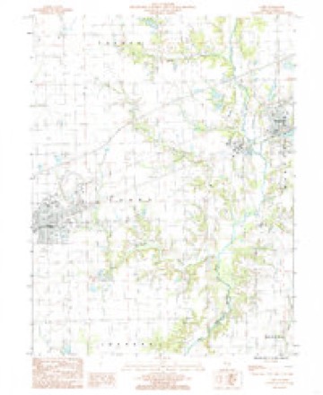
17 topographic sheets cover this place, the earliest surveyed in 1936 and the latest in 1998. It stands in Martinsville Township. It lies in ZIP code area 62442. It stands on Norman Branch. The Survey maps it on the Casey quadrangle.
Topographic sheets covering this place
10 surveys from 17 printed sheetsMatched by testing this settlement's coordinate against the published boundary of every sheet in the United States Geological Survey's historical collection. Each opens the scanned sheet at the Survey.
- 1936 USGS Casey quadrangle1:48000
- 1942 USGS Casey quadrangle1:62500, 2 printings
- 1943 USGS Casey quadrangle1:62500, 2 printings
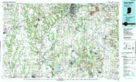
- 1953 USGS Indianapolis quadrangle1:250000, 4 printings
- 1956 USGS Indianapolis quadrangle1:250000
- 1957 USGS Indianapolis quadrangle1:250000, 2 printings
- 1962 USGS Indianapolis quadrangle1:250000
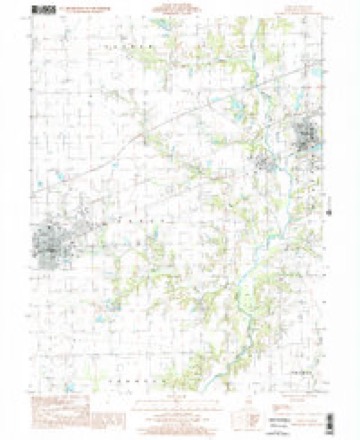
- 1984 USGS Casey quadrangle1:24000
- 1986 USGS Terre Haute quadrangle1:100000, 2 printings
- 1998 USGS Casey quadrangle1:24000




Storms near this place
39 since 1994Regional context, not property-specific evidence. The National Weather Service names Martinsville in 39 storm reports between 1994 and 2026: 24 thunderstorm wind, 13 hail, 1 tornado, 1 flash flood. No death or injury is recorded in these reports. Each account below is quoted exactly as the forecast office filed it, from the NOAA Storm Events Database, and each date opens the federal record of that event.
| When | Event | Place named | Harm | What the report says |
|---|---|---|---|---|
| April 2020 | Thunderstorm Wind | Martinsville | $50,000 | Several utility poles were damaged on 1000th St between Highway 40 and 1200th Road. |
| August 2012 | Thunderstorm Wind | Martinsville | $40,000 | Numerous trees were blown down, including a 20-inch diameter tree that fell onto power lines. Power was knocked out throughout Martinsville. |
| May 2018 | Thunderstorm Wind | Martinsville | $35,000 | Three semis were blown over on I-70 northeast of Martinsville. |
| April 2017 | Thunderstorm Wind | Martinsville | $25,000 | Numerous trees were blown down. |
| June 2016 | Thunderstorm Wind | Martinsville | $25,000 | Numerous tree branches and power lines were blown down causing a large power outage in Martinsville. |
| April 2020 | Thunderstorm Wind | Martinsville | $20,000 | A gustnado on the leading edge of thunderstorms damaged power lines on the north side of Martinsville. |
| June 2016 | Thunderstorm Wind | Martinsville | $20,000 | Several trees were blown down just west of Martinsville. |
| February 2008 | Thunderstorm Wind | Martinsville | $20,000 | Numerous trees and power lines were blown down. |
| August 2009 | Thunderstorm Wind | Martinsville | $5,000 | Three large trees were snapped just north of Martinsville. |
| October 2007 | Thunderstorm Wind | Martinsville | $5,000 | Several tree limbs were blown down. |
| July 2014 | Thunderstorm Wind | Martinsville | $3,000 | Two one-foot diameter poplar trees were blown down in Martinsville. |
| June 2011 | Thunderstorm Wind | Martinsville | $3,000 | A large tree was uprooted in Martinsville. |
| May 2013 | Thunderstorm Wind | Martinsville | $2,000 | A tree was blown down across a road in Martinsville. |
| April 2013 | Thunderstorm Wind | Martinsville | $2,000 | A tree was blown down onto Cumberland Road about 2 miles east-northeast of Martinsville. |
| June 2019 | Thunderstorm Wind | Martinsville | - | Several 6 to 8-inch diameter tree branches were blown down. |
| August 2009 | Thunderstorm Wind | Martinsville | - | Several large tree limbs were blown down at I-70 in Martinsville. |
| November 2005 | Thunderstorm Wind | Martinsville | - | A swath of wind damage extended along the Interstate 70 corridor from Martinsville to Marshall to the Indiana state line. Numerous trees, tree limbs and power lines were blown down. Siding was torn off a house in Marshall. |
| August 2003 | Thunderstorm Wind | Martinsville | - | Thunderstorm winds blew down several trees and power lines. A couple of the trees fell onto homes causing damage. Also, one home had several windows blown out. No injuries were reported. |
| May 2003 | Thunderstorm Wind | Martinsville | - | Several power poles were blown down. |
| July 2002 | Thunderstorm Wind | Martinsville | - | A tree was blown over onto an unoccupied car, damaging it. |
| June 2001 | Flash Flood | Martinsville | - | Water was reported over US Route 40, near Martinsville. |
| June 1999 | Thunderstorm Wind | Martinsville | - | As severe storms moved through Clark County, numerous trees were blown down. One of the trees fell onto a house in rural Martinsville causing moderate damage. In Marshall, eight homes sustained minor damage and several power lines were blown down. Also, 3 miles southeast of Marshall, a machine shed was destroyed and a residence sustained minor damage. No injuries were reported. |
| June 1998 | Thunderstorm Wind | Martinsville | - | A large tree was blown down across North Creek Road about one mile south of Martinsville. |
| May 1994 | Tornado (F0) | Martinsville | - | A tornado briefly touched down in a field six miles south of Martinsville. No damage was reported. |
| February 2026 | Hail | Martinsville | - | no account filed |
| April 2025 | Thunderstorm Wind | Martinsville | - | no account filed |
| March 2012 | Hail | Martinsville | - | no account filed |
| March 2012 | Hail | Martinsville | - | no account filed |
| September 2012 | Hail | Martinsville | - | no account filed |
| March 2012 | Hail | Martinsville | - | no account filed |
| May 2011 | Hail | Martinsville | - | no account filed |
| May 2011 | Hail | Martinsville | - | no account filed |
| April 2011 | Hail | Martinsville | - | no account filed |
| May 2011 | Hail | Martinsville | - | no account filed |
| April 2011 | Hail | Martinsville | - | no account filed |
| April 2011 | Hail | Martinsville | - | no account filed |
| May 2006 | Hail | Martinsville | - | no account filed |
| May 2000 | Hail | Martinsville | - | no account filed |
| June 1996 | Thunderstorm Wind | Martinsville | - | no account filed |
Nearest settlements
The eight closest, with where each one stands in the county. Distances are straight-line, computed from the Geographic Names Information System coordinates.
| Map | Place | Distance | Sheets |
|---|---|---|---|
| Adenmoor | 5.0 miles | 17 | |
| Cumberland | 5.5 miles | 17 | |
| Clark Center | 5.6 miles | 17 | |
| Neadmore | 6.1 miles | 14 | |
| Cleone | 6.2 miles | 17 | |
| Casey | 6.4 miles | 17 | |
| Weir | 6.7 miles | 17 | |
| Oilfield | 6.9 miles | 17 |
Provenance
This settlement is recorded in the Geographic Names Information System as feature 413079. The sheet list is computed by point-in-boundary test against the United States Geological Survey's historical topographic inventory. Both are works of the United States government and carry no copyright under 17 U.S.C. 105.
Storms. NOAA National Centers for Environmental Information, Storm Events Database https://www.ncei.noaa.gov/stormevents/ A work of the United States government, no copyright under 17 U.S.C. 105. Narratives are quoted verbatim from the National Weather Service report and are not edited or summarised.