 Block
McLean, Illinois
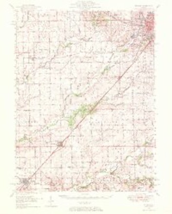
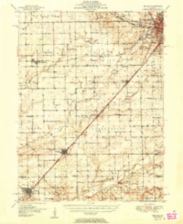
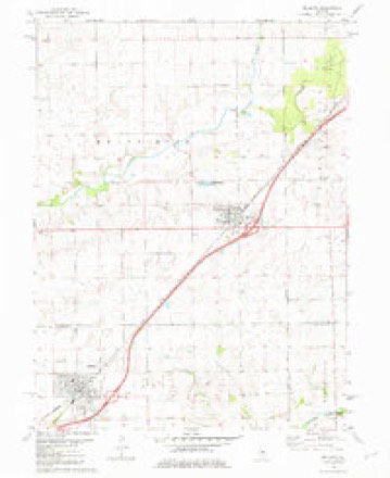
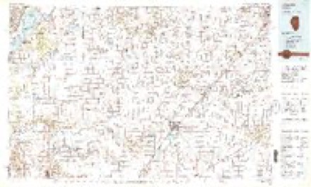
13 topographic sheets cover this place, the earliest surveyed in 1949 and the latest in 1990. It stands in Mount Hope Township. It lies in ZIP code area 61754. The Survey maps it on the McLean quadrangle. 743 people lived here at the 2020 count. It stands 708 feet above sea level.
Population over time
2 figuresMcLean fell from 830 to 743 between 2010 and 2020. These are the recorded population figures Wikidata holds for this place, reached through the Geographic Names Information System number this page is keyed on rather than by name, so they belong to this place and not to another of the same name. Most are census counts, but not all are: an early figure may be a founding or settlement estimate, and an estimate published within five years of a census is left out. The change column is computed, and is left blank where more than 20 years separate a figure from the one before it, because a gap that long is not a change between two counts.
| Year | People | Change |
|---|---|---|
| 2010 | 830 | |
| 2020 | 743 | -87 (-10%) |
Topographic sheets covering this place
9 surveys from 13 printed sheetsMatched by testing this settlement's coordinate against the published boundary of every sheet in the United States Geological Survey's historical collection. Each opens the scanned sheet at the Survey.
- 1949 USGS Mc Lean quadrangle1:62500
- 1951 USGS McLean quadrangle1:62500, 2 printings
- 1958 USGS Peoria quadrangle1:250000, 4 printings
- 1961 USGS Peoria quadrangle1:250000
- 1963 USGS Peoria quadrangle1:250000
- 1981 USGS McLean quadrangle1:24000
- 1985 USGS Lincoln quadrangle1:100000
- 1989 USGS Lincoln quadrangle1:100000
- 1990 USGS Peoria quadrangle1:250000




What happened here
An account from the chapter on Mount Hope township. The inset identifies its exact source book and publication year.
Walter Karr
Walter Karr was born July 8, 1797, in Sussex County, New Jersey. His father's name was Thomas Karr, and his mother's maiden name was Celia Lewis, both Americans. Mr. Karr was not old enough to be a soldier in the war of 1812, though many of his relatives were init. He had a half-brother who was captured by the British when Hull surrendered at Detroit.
In the county-history sources
35,848 words on this townshipThe Good Old Times in Mclean County, Illinois, published 1874 names this settlement in its chapter on Mount Hope Township. These are the passages that mention it, exactly as the scans read.
George M. Stubblefield, son of Robert Stubblefield, was named after'a noted Methodist preacher in Ohio, named George Maley. George was born August 29, 1823, in Fayette County, Ohio. In December, 1824, the Stubblefield family came to Illinois, and George was carried in the arms of his mother, who rode on horseback. They settled in Funk's Grove, in what is now McLean County.
Passage source: The Good Old Times in Mclean County, Illinois, published 1874.
In July, 1833, Lewis Case came with his wife and child to McLean County, Ilinois, and settled on Kickapoo Creek, on the north side of Old Town timber. When they first came, they went to Bloomington, and the first man to welcome them and give them their dinner was General Gridley, who then boarded at James Allin's. During the following winter, the families of Lewis Case, Abner Case, Charles Lewis and Thaddeus Case, fifteen persons in all, wintered in a little house fourteen feet square. Their household goods were put up around the sides of the room on pins. They had two bedsteads and two trundle beds. A part of the folks were obliged to retire at night before the remainder could make their beds on the floor. During that winter Mr. Case cut, split and hauled logs for a house. In the spring the house was built, and in April they moved into it. It was a small cabin, but Mrs. Case had room in it for a spinning wheel and a loom. She spun and wove the clothing for the family, and when her girls were large enough they also were taught to spin and weave. She made linsey, jeans and linen, and the family lived happily in the rude cabin with their homespun attire. For three years they remained in the little cabin and then moved to where they now live.
Passage source: The Good Old Times in Mclean County, Illinois, published 1874.
In the fall of 1833 Mr. Cowden came to Greene County, Ilinois, where he lived until 1834, when he came to McLean County. He started with Elias Wall and James B. Price, but left them at Ranellville, Kentucky. After traveling two days, he met two of his cousins going to Illinois, and he went in company with them. When he arrived in Mec County, he went to work sawing lumber with a whip saw. This lumber, sawed by hand, was sold to John Rhodes for two dollars per hundred, and is now a part of his barn. Mr. Cowden sawed finishing lumber of white walnut for parties in Bloomington, and also for the first hotel at Mt. Pleasant (Farmer City). He hunted occasionally with John Price, and killed a great many deer and turkeys. Mr. Cowden tells some jokes on J ohn Price, which caused great amusement. Price was a good hunter, but in some unexplained reason he, at times, could scarcely kill anything. Mr. Cowden says that Brie' once shot some thirty times in one day at deer without hitting a single one. The latter complained of a flaw in the gun, but Mr. Cowden killed three deer in one day with it, and said that the 'flaw was now gone. Mr. Price could kill game afterwards. Mr. Cowden says that Price was very cautious about approaching a wounded deer, and once killed a buck, which ran into a clump of brush and died; but. as Mr. Price had some suspicion as to whether the buck was really dead, he rode around the thicket and fired at it seven or eight times! Mr. Cowden once wounded a deer, but would not shoot again, for fear of being laughed at, and grappled it. The struggle which followed was so severe that Cowden wished he had given the deer another shot.
Passage source: The Good Old Times in Mclean County, Illinois, published 1874.
Machine-read from a century-old scan, so expect the errors a machine makes: misspelled names, dropped words, stray characters.
Read the whole chapter on Mount Hope Township - it names this place 30 more 30 times.
Fires near this place
3 since 2012Regional context, not property-specific evidence. The federal wildfire occurrence database lists 3 fires within 5 miles of McLean between 2012 and 2014, burning about 53 acres in total. None started naturally. None was recorded as arson. Distance is straight-line from the map coordinates, so a fire counted here may appear on a neighbouring settlement's page as well.
| Reported cause | Fires |
|---|---|
| Missing data/not specified/undetermined | 2 |
| Debris and open burning | 1 |
The most recent of them, most recent first, with the day each was reported and the service that recorded it.
| Date | Cause | Size | Reported by | Name on the report |
|---|---|---|---|---|
| 12 April 2014 | Missing data/not specified/undetermined | 50 acres | Illinois Division of Forestry Resources | 68 |
| 17 March 2012 | Debris and open burning | 3.0 acres | Illinois Division of Forestry Resources | EAST |
| 17 January 2014 | Missing data/not specified/undetermined | under an acre | Illinois Division of Forestry Resources | 9 |
Settlements close enough to share some of these fires:
Mines and quarries near this place
1 within 5 milesRegional context, not property-specific evidence. The federal mineral resources record lists 1 working within 5 miles of McLean: 1 past producer. None of them still produces. What was taken out: Sand and Gravel, Construction. Distance is straight-line from the map coordinates, so a quarry counted here may appear on a neighbouring settlement's page as well.
| Where | Site | Commodity | Status | Recorded |
|---|---|---|---|---|
| Pitts Pit | Sand and Gravel, Construction | Past Producer |
Nearest settlements
The eight closest, with where each one stands in the county. Distances are straight-line, computed from the Geographic Names Information System coordinates.
| Map | Place | Distance | Sheets |
|---|---|---|---|
| Funks Grove | 4.5 miles | 13 | |
| Shirley | 8.6 miles | 13 | |
| Stanford | 8.7 miles | 14 | |
| Covell | 9.4 miles | 13 | |
| Heyworth | 10.4 miles | 14 | |
| Randolph | 10.9 miles | 14 | |
| Littleville (historical) | 11.5 miles | 14 | |
| Burns | 11.7 miles | 14 |
Elsewhere
Matched on this settlement's Geographic Names Information System number rather than its name, so it cannot be a different place of the same name in another state.
| Wikipedia article on McLean | An encyclopaedic summary. Its text is share-alike, so it is linked here rather than copied. |
| Wikidata item Q1873098 | The structured record the population and elevation above come from. Public domain (CC0). |
Provenance
This settlement is recorded in the Geographic Names Information System as feature 413320. The sheet list is computed by point-in-boundary test against the United States Geological Survey's historical topographic inventory. Both are works of the United States government and carry no copyright under 17 U.S.C. 105.
Wildfire. Short, Karen C. 2022. Spatial wildfire occurrence data for the United States, 1992-2020 [FPA_FOD_20221014]. 6th Edition. Fort Collins, CO: Forest Service Research Data Archive. https://doi.org/10.2737/RDS-2013-0009.6 Collected with United States Government funding and usable without additional permissions or fees.
Mines and quarries. USGS Mineral Resources Data System (MRDS) https://mrdata.usgs.gov/mrds/ A work of the United States government, no copyright under 17 U.S.C. 105.