 Block
Melwood, Illinois
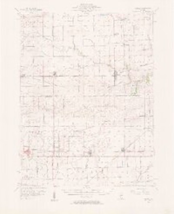
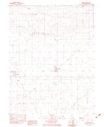
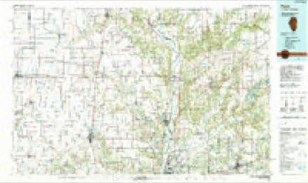
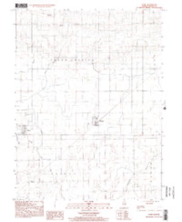
14 topographic sheets cover this place, the earliest surveyed in 1953 and the latest in 1998. It stands in Shiloh Township. It lies in ZIP code area 61917. The Survey maps it on the Hume quadrangle.
Topographic sheets covering this place
8 surveys from 14 printed sheetsMatched by testing this settlement's coordinate against the published boundary of every sheet in the United States Geological Survey's historical collection. Each opens the scanned sheet at the Survey.
- 1953 USGS Indianapolis quadrangle1:250000, 4 printings
- 1956 USGS Indianapolis quadrangle1:250000
- 1956 USGS Newman quadrangle1:62500, 2 printings
- 1957 USGS Indianapolis quadrangle1:250000, 2 printings
- 1962 USGS Indianapolis quadrangle1:250000
- 1982 USGS Hume quadrangle1:24000
- 1986 USGS Paris quadrangle1:100000, 2 printings
- 1998 USGS Hume quadrangle1:24000




What happened here
An account from the chapter on Shiloh township. The inset identifies its exact source book and publication year.
War History And Record
The first engagement the regiment participated in was Lay's Ferry and Rome Cross Roads, 13th, 14th and 15th May, losing 2 killed and 21 wounded. May 27, assisted in repulsing a heavy night attack on Dallas. June 2, left the line and swung around toward Lost Mountain and Ackworth. June 1U, passed through Ackworth and Big- Shanty.
In the county-history sources
14,264 words on this townshipThe History of Edgar County, Illinois, Containing a History of the County--its Cities, Towns, &c. : Directory of Its Tax-payers; War Records of Its Volunteers in the Late Rebellion Portraits of Early Settlers and Prominent Men; General and Local Statistics; Map of Edgar County; History of Illinois, Illustrated; History of the Northwest, Illustrated; Constitution of the United States, Miscellaneous Matters, &c., &c. Illustrated, published 1879 has no passage naming this settlement, which was common for smaller places. Its township is covered in full.
The chapter on Shiloh Township covers the township.
Read the chapter on Shiloh Township - 14,264 words.
Storms near this place
2 since 2010Regional context, not property-specific evidence. The National Weather Service names Melwood in 2 storm reports between 2010 and 2011: 2 flash flood. No death or injury is recorded in these reports. Each account below is quoted exactly as the forecast office filed it, from the NOAA Storm Events Database, and each date opens the federal record of that event.
| When | Event | Place named | Harm | What the report says |
|---|---|---|---|---|
| July 2011 | Flash Flood | Melwood | - | Heavy rainfall amounts of 3.00 to 4.00 in a two hour period just before Midnight resulted in flash flooding of rural roads in a small part of northern Edgar County. Many of these roads were impassable during the night. |
| June 2010 | Flash Flood | Melwood | - | More than 2.50 of rain was estimated between 1600 and 1730 CST in a small part of northern Edgar County. This made many rural roads impassable during the early evening. |
Nearest settlements
The eight closest, with where each one stands in the county. Distances are straight-line, computed from the Geographic Names Information System coordinates.
Provenance
This settlement is recorded in the Geographic Names Information System as feature 422971. The sheet list is computed by point-in-boundary test against the United States Geological Survey's historical topographic inventory. Both are works of the United States government and carry no copyright under 17 U.S.C. 105.
Storms. NOAA National Centers for Environmental Information, Storm Events Database https://www.ncei.noaa.gov/stormevents/ A work of the United States government, no copyright under 17 U.S.C. 105. Narratives are quoted verbatim from the National Weather Service report and are not edited or summarised.