 Block
Catfish, Illinois
15 topographic sheets cover this place, the earliest surveyed in 1946 and the latest in 1998. It stands in Embarrass Township. It lies in ZIP code area 61917. It stands on Catfish Creek. The Survey maps it on the Brocton quadrangle. The federal gazetteer marks this settlement historical: it is no longer a populated place, though the surveys that recorded it still are.
Topographic sheets covering this place
9 surveys from 15 printed sheetsMatched by testing this settlement's coordinate against the published boundary of every sheet in the United States Geological Survey's historical collection. Each opens the scanned sheet at the Survey.
- 1946 USGS Kansas quadrangle1:62500
- 1949 USGS Kansas quadrangle1:62500, 2 printings
- 1953 USGS Indianapolis quadrangle1:250000, 4 printings
- 1956 USGS Indianapolis quadrangle1:250000
- 1957 USGS Indianapolis quadrangle1:250000, 2 printings
- 1962 USGS Indianapolis quadrangle1:250000
- 1982 USGS Brocton quadrangle1:24000
- 1986 USGS Paris quadrangle1:100000, 2 printings
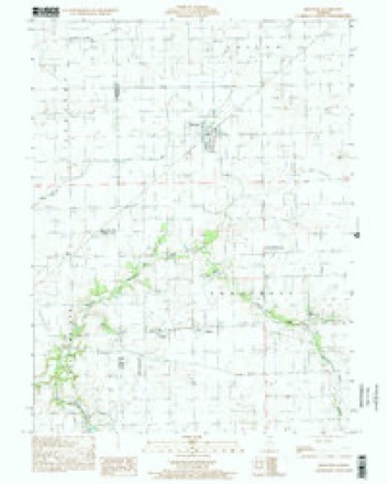
- 1998 USGS Brocton quadrangle1:24000




In the county-history sources
8,140 words on this townshipThe History of Edgar County, Illinois, Containing a History of the County--its Cities, Towns, &c. : Directory of Its Tax-payers; War Records of Its Volunteers in the Late Rebellion Portraits of Early Settlers and Prominent Men; General and Local Statistics; Map of Edgar County; History of Illinois, Illustrated; History of the Northwest, Illustrated; Constitution of the United States, Miscellaneous Matters, &c., &c. Illustrated, published 1879 names this settlement in its chapter on Embarrass Township. These are the passages that mention it, exactly as the scans read.
This township is situated in the middle of the extreme western part of Ed¬ gar County, and is, at its nearest part, nine miles from Paris, the county seat. It contains forty-four sections of Congressional Towns 14 and 15 north, and 13 and 14 west. It is bounded on the west by Coles and Douglas Counties, and on the north, east and south by Shiloh, Buck and Kansas Townships. It is crossed from southeast to northwest and west by Catfish Creek, a branch of the Embarrass River, into which it empties after leaving the township, forming a junction with that river in Coles County, eight or ten miles west of the town¬ ship line. The creek, it is said, derives its euphonious name from the catching of a monster catfish by Thomas Dohhette, one of the earliest settlers of this region.
Like other early-settled portions of the county, the vicinity of Catfish Creek was occupied mainly by southern people, from the State of Kentucky ; but later Ohio and the Eastern States sent a large proportion.
But Mr. Crist did not long remain in undisputed possession of all this vast hunting-ground, as he had evidently hoped to do, for, in a year or two after locating here, several other families unloaded their wagons near him, built cab¬ ins and began farming, hunting and catching big catfish, to the no small dis¬ gust of Mr. Crist. He soon began to feel himself somewhat cramped for room, and, when about five families had permanently settled, he sold out his little improvement and went where he imagined he might spend his years in peace, unmolested by the report of any other hunter's rifle. In 1828, Benjamin Wayne, Nathaniel Wayne, Thomas Darnall and Isaac, Joel and Thomas Dohhette made their appearance at Catfish.
Machine-read from a century-old scan, so expect the errors a machine makes: misspelled names, dropped words, stray characters.
Read the whole chapter on Embarrass Township - it names this place 4 more 4 times.
Nearest settlements
The eight closest, with where each one stands in the county. Distances are straight-line, computed from the Geographic Names Information System coordinates.
| Map | Place | Distance | Sheets |
|---|---|---|---|
| Borton | 1.1 miles | 15 | |
| Isabel | 1.6 miles | 15 | |
| New Athens (historical) | 2.0 miles | 15 | |
| Brocton | 3.0 miles | 15 | |
| Redmon | 3.9 miles | 15 | |
| Warrington | 4.1 miles | 15 | |
| Garland | 7.0 miles | 15 | |
| Melwood | 7.1 miles | 14 |
Provenance
This settlement is recorded in the Geographic Names Information System as feature 1808095. The sheet list is computed by point-in-boundary test against the United States Geological Survey's historical topographic inventory. Both are works of the United States government and carry no copyright under 17 U.S.C. 105.