 Block
Meyer, Illinois
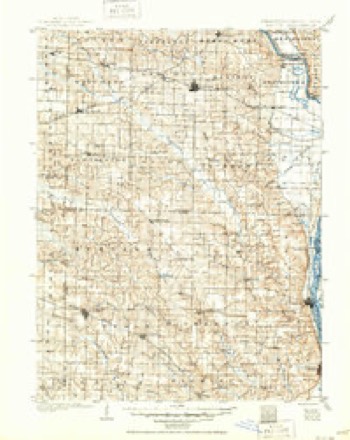
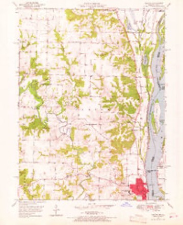
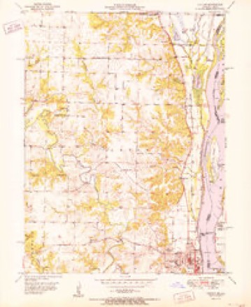
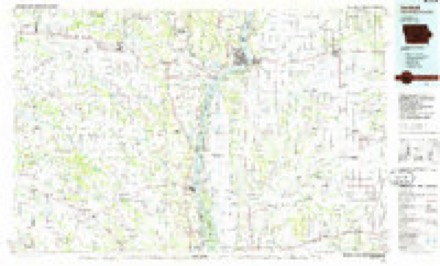
18 topographic sheets cover this place, the earliest surveyed in 1903 and the latest in 1990. It stands in Lima Township. It lies in ZIP code area 62379. It lies near White Island. The Survey maps it on the Canton quadrangle.
Topographic sheets covering this place
8 surveys from 18 printed sheetsMatched by testing this settlement's coordinate against the published boundary of every sheet in the United States Geological Survey's historical collection. Each opens the scanned sheet at the Survey.
- 1903 USGS Kahoka quadrangle1:125000, 3 printings
- 1950 USGS Canton quadrangle1:24000, 3 printings
- 1951 USGS Canton quadrangle1:24000, 2 printings
- 1958 USGS Burlington quadrangle1:250000, 4 printings
- 1961 USGS Burlington quadrangle1:250000
- 1963 USGS Burlington quadrangle1:250000
- 1986 USGS Keokuk quadrangle1:100000, 2 printings
- 1990 USGS Burlington quadrangle1:250000, 2 printings




Fires near this place
8 since 1994Regional context, not property-specific evidence. The federal wildfire occurrence database lists 8 fires within 5 miles of Meyer between 1994 and 1999, burning about 410 acres in total. None started naturally. None was recorded as arson. Distance is straight-line from the map coordinates, so a fire counted here may appear on a neighbouring settlement's page as well.
| Reported cause | Fires |
|---|---|
| Debris and open burning | 4 |
| Misuse of fire by a minor | 2 |
| Smoking | 1 |
| Missing data/not specified/undetermined | 1 |
The most recent of them, most recent first, with the day each was reported and the service that recorded it.
| Date | Cause | Size | Reported by | Name on the report |
|---|---|---|---|---|
| 4 July 1996 | Misuse of fire by a minor | 2.0 acres | Missouri Department of Conservation | not named |
| 2 April 1994 | Misuse of fire by a minor | 1.0 acres | Missouri Department of Conservation | not named |
| 31 March 1997 | Debris and open burning | 6.0 acres | Missouri Department of Conservation | not named |
| 4 November 1999 | Debris and open burning | 280 acres | Missouri Department of Conservation | not named |
| 4 November 1996 | Missing data/not specified/undetermined | 5.0 acres | Missouri Department of Conservation | not named |
| 3 November 1996 | Debris and open burning | 65 acres | Missouri Department of Conservation | not named |
| 20 October 1996 | Smoking | 50 acres | Missouri Department of Conservation | not named |
| 12 October 1996 | Debris and open burning | 1.0 acres | Missouri Department of Conservation | not named |
Mines and quarries near this place
4 within 5 milesRegional context, not property-specific evidence. The federal mineral resources record lists 4 workings within 5 miles of Meyer: 3 past producers, 1 producer. 1 still produces. What was taken out: Stone, Crushed/Broken, Sand and Gravel, Construction. Distance is straight-line from the map coordinates, so a quarry counted here may appear on a neighbouring settlement's page as well.
| Where | Site | Commodity | Status | Recorded |
|---|---|---|---|---|
| Unk | Sand and Gravel, Construction | Past Producer | ||
| Shannon Quarry | Stone, Crushed/Broken | Producer | ||
| Unk | Stone, Crushed/Broken | Past Producer | ||
| Unk | Stone, Crushed/Broken | Past Producer |
Storms near this place
13 since 1997Regional context, not property-specific evidence. The National Weather Service names Meyer in 13 storm reports between 1997 and 2019: 5 flood, 4 flash flood, 2 tornado, 2 hail. The reports record 4 injuries. Each account below is quoted exactly as the forecast office filed it, from the NOAA Storm Events Database, and each date opens the federal record of that event.
| When | Event | Place named | Harm | What the report says |
|---|---|---|---|---|
| May 2003 | Tornado (F2) | Meyer | 4 hurt | The tornado that hit Canton, Missouri crossed the Mississippi River Lock and Dam 20 just southwest of Meyer. The tornado was weak, F0 in intensity, as it moved east northeast across the Illinois flood plain causing only sporadic tree damage. The tornado began to strengthen as it moved off the flood plain and severely damaged a home and garage along County Road 603 about 1 mile southwest of Lima. The tornado reached its maximum strength just southwest of Lima where it caused major damage. The tornado cut a 200-300 yard wide path of damage across the north side of Lima. About 40-50 structures were damaged by the tornado. Several barns and similar type buildings were destroyed as were 2 mobile homes. One frame house lost its entire roof with several others suffering major roof damage. There were only 4 injuries as everyone took shelter in basements or interior rooms. |
| June 2008 | Flash Flood | Meyer | $500,000 | A levee on the Mississippi River near Meyer failed and caused flash flooding in an area from Bear Creek northward toward the Adams/Hancock county line. The flood waters spread as far east as East 500th Street along the bluffs. A couple hours later a second levee break occurred aggravating the flooding situation. A couple dozen homes in Meyer were flooded as well as a couple of businesses. The entire town of 40 to 50 people had evacuated before the levee was breached. |
| June 2008 | Flood | Meyer | $100,000 | The Mississippi River at Quincy crested at 30.80 feet on 6/18/2008. This is the second highest crest ever recorded. A major levee break just north of Meyer likely kept the crest from reaching a record. Several homes and businesses in the Meyer area were flooded. The Quincy, IL riverfront area was flooded closing one restaurant affecting some other businesses. Agricultural losses were estimated at $23.8 million. |
| June 2008 | Flash Flood | Meyer | $10,000 | From 3 to 5 inches of rain fell over Adams county in a short amount of time during the morning hours of June 3rd. Numerous roads were closed due to flooding including 90th Street 3 miles south southeast of Fowler, various roads in Payson, and several county and secondary roads in the Kingston and Richfield areas. A couple of the secondary gravel roads were washed out due to the flash flooding. Mill Creek, just north of Marblehead, was out of its banks and brought down several nearby trees and flooded East 753rd Lane for a time. |
| April 2013 | Flood | Meyer | $5,000 | The Mississippi River reached major flood levels along the border of Adams County. The river crested at most locations on April 21st but remained above flood stage into May. Damage was limited to agricultural lowlands. |
| May 2013 | Flood | Meyer | $2,000 | The Mississippi River along the border of Adams County continued at major flood levels into early May. The river gradually fell and dropped below flood stage on the 23rd, only to rise over flood stage on the 27th and hit major flood levels again at the end of May. Major flooding continued into early June. |
| June 2013 | Flood | Meyer | $1,000 | The Mississippi River bordering Adams County started June in flood and rose to major flood levels cresting on the 1st. The river fell below flood stage on the 20th. Damage was limited to some closed roads and flooded farmland. |
| June 2015 | Flash Flood | Meyer | - | Up to 5 inches of rain fell in a short amount of time on already saturated soils causing flash flooding. Numerous roads were flooded including Illinois Route 94 north of Golden and Illinois Route 61 between Loraine and Golden. |
| June 2011 | Flash Flood | Meyer | - | Up to three inches of rain fell onto already saturated soils in a short amount of time causing flash flooding. Numerous roads were flooded, especially in the northern half of Adams county near Camp Point, Golden and Loraine. Water was over a foot deep in some locations. |
| July 2008 | Flood | Meyer | - | The Mississippi River crested at Quincy, IL on July 1 at 24. 96 feet. It fell below flood stage on July 8. For additional information about the flooding consult the June report. |
| June 2019 | Hail | Meyer | - | no account filed |
| April 2012 | Hail | Meyer | - | no account filed |
| April 1997 | Tornado (F0) | Meyer | - | no account filed |
Nearest settlements
The eight closest, with where each one stands in the county. Distances are straight-line, computed from the Geographic Names Information System coordinates.
| Map | Place | Distance | Sheets |
|---|---|---|---|
| Lima | 6.9 miles | 14 | |
| Marcelline | 7.5 miles | 15 | |
| Ursa | 8.8 miles | 15 | |
| Rock Creek | 8.9 miles | 14 | |
| Mendon | 12.3 miles | 15 | |
| North Quincy | 13.5 miles | 18 | |
| Bloomfield | 13.6 miles | 15 | |
| Country Meadows | 13.8 miles | 19 |
Provenance
This settlement is recorded in the Geographic Names Information System as feature 413460. The sheet list is computed by point-in-boundary test against the United States Geological Survey's historical topographic inventory. Both are works of the United States government and carry no copyright under 17 U.S.C. 105.
Wildfire. Short, Karen C. 2022. Spatial wildfire occurrence data for the United States, 1992-2020 [FPA_FOD_20221014]. 6th Edition. Fort Collins, CO: Forest Service Research Data Archive. https://doi.org/10.2737/RDS-2013-0009.6 Collected with United States Government funding and usable without additional permissions or fees.
Mines and quarries. USGS Mineral Resources Data System (MRDS) https://mrdata.usgs.gov/mrds/ A work of the United States government, no copyright under 17 U.S.C. 105.
Storms. NOAA National Centers for Environmental Information, Storm Events Database https://www.ncei.noaa.gov/stormevents/ A work of the United States government, no copyright under 17 U.S.C. 105. Narratives are quoted verbatim from the National Weather Service report and are not edited or summarised.