 Block
Middlesworth, Illinois
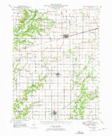
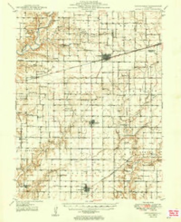
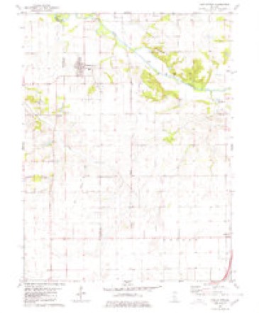
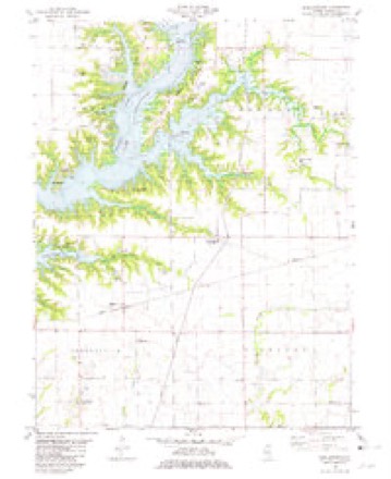
14 topographic sheets cover this place, the earliest surveyed in 1947 and the latest in 1999. It stands in Shelbyville Township. It lies in ZIP code area 62565. The Survey maps it on the Middlesworth quadrangle.
Topographic sheets covering this place
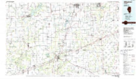
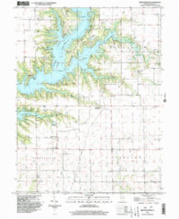
8 surveys from 14 printed sheetsMatched by testing this settlement's coordinate against the published boundary of every sheet in the United States Geological Survey's historical collection. Each opens the scanned sheet at the Survey.
- 1947 USGS Stewardson quadrangle1:62500
- 1949 USGS Stewardson quadrangle1:62500, 2 printings
- 1958 USGS Decatur quadrangle1:250000, 3 printings
- 1961 USGS Decatur quadrangle1:250000, 2 printings
- 1980 USGS Middlesworth quadrangle1:24000
- 1981 USGS Middlesworth quadrangle1:24000, 2 printings
- 1986 USGS Effingham quadrangle1:100000, 2 printings
- 1999 USGS Middlesworth quadrangle1:24000


What happened here
An account from the chapter on Shelbyville township. The inset identifies its exact source book and publication year.
Wilber Broughton
Death came to Wilher Broughton, a valiant and patriotic son of Shelby county, on the battlefield in France, where he was serving as a messenger and scout in the United States army. On the night of July 19, 1918, he was wounded, and removed to a hospital at Oise, France. Six days later, or on July 25, he died from the effects of the machine gun bullet.
In the county-history sources
35,144 words on this townshipShelby County in the World War, published 1919 names this settlement in its chapter on Shelbyville Township. These are the passages that mention it, exactly as the scans read.
Certain prizes for their meritorious work were also given the Scouts by the Scout committee, Messrs. Geo. C. Bolinger, W. S. Middlesworth and C. H. Beetle. Presentation of the medals and the prizes were made in public, patriotic meetings, in which the Scouts gave demonstrations of their signaling and other work. The awards by the government, made necessarily by a representative of the government, were presented by Postmaster Frank Stone.
Passage source: Shelby County in the World War, published 1919.
Machine-read from a century-old scan, so expect the errors a machine makes: misspelled names, dropped words, stray characters.
Fires near this place
4 since 2013Regional context, not property-specific evidence. The federal wildfire occurrence database lists 4 fires within 5 miles of Middlesworth in 2013, burning about 116 acres in total. None started naturally. None was recorded as arson. Distance is straight-line from the map coordinates, so a fire counted here may appear on a neighbouring settlement's page as well.
| Reported cause | Fires |
|---|---|
| Debris and open burning | 3 |
| Missing data/not specified/undetermined | 1 |
The most recent of them, most recent first, with the day each was reported and the service that recorded it.
| Date | Cause | Size | Reported by | Name on the report |
|---|---|---|---|---|
| 5 April 2013 | Debris and open burning | 12 acres | Illinois Division of Forestry Resources | 130023 |
| 4 April 2013 | Debris and open burning | 1.0 acres | Illinois Division of Forestry Resources | 130022 |
| 3 April 2013 | Missing data/not specified/undetermined | 100 acres | Illinois Division of Forestry Resources | 130021 |
| 23 March 2013 | Debris and open burning | 2.5 acres | Illinois Division of Forestry Resources | 130016 |
Settlements close enough to share some of these fires:
Mines and quarries near this place
2 within 5 milesRegional context, not property-specific evidence. The federal mineral resources record lists 2 workings within 5 miles of Middlesworth: 1 producer, 1 past producer. 1 still produces. What was taken out: Stone, Crushed/Broken. Distance is straight-line from the map coordinates, so a quarry counted here may appear on a neighbouring settlement's page as well.
| Where | Site | Commodity | Status | Recorded |
|---|---|---|---|---|
| S & V Stone Quarry | Stone, Crushed/Broken | Producer | ||
| Shelby County Hiwy Dept Pit | Stone, Crushed/Broken | Past Producer |
Storms near this place
1 since 2014Regional context, not property-specific evidence. The National Weather Service names Middlesworth in 1 storm report in 2014: 1 thunderstorm wind. No death or injury is recorded in these reports. Each account below is quoted exactly as the forecast office filed it, from the NOAA Storm Events Database, and each date opens the federal record of that event.
| When | Event | Place named | Harm | What the report says |
|---|---|---|---|---|
| May 2014 | Thunderstorm Wind | Middlesworth | $45,000 | A large metal building was destroyed and several trees were blown down in Middlesworth. A flag pole was bent at a 90 degree angle. |
Nearest settlements
The eight closest, with where each one stands in the county. Distances are straight-line, computed from the Geographic Names Information System coordinates.
| Map | Place | Distance | Sheets |
|---|---|---|---|
| Lithia | 1.1 miles | 14 | |
| Shelbyville | 4.0 miles | 14 | |
| Rennerville | 5.8 miles | 14 | |
| Duvall | 6.1 miles | 14 | |
| Strasburg | 6.6 miles | 12 | |
| Windsor | 6.7 miles | 12 | |
| South Strasburg | 6.8 miles | 12 | |
| Clarksburg | 7.0 miles | 13 |
Elsewhere
Matched on this settlement's Geographic Names Information System number rather than its name, so it cannot be a different place of the same name in another state.
| Wikidata item Q122545961 | The structured record the population and elevation above come from. Public domain (CC0). |
Provenance
This settlement is recorded in the Geographic Names Information System as feature 413510. The sheet list is computed by point-in-boundary test against the United States Geological Survey's historical topographic inventory. Both are works of the United States government and carry no copyright under 17 U.S.C. 105.
Wildfire. Short, Karen C. 2022. Spatial wildfire occurrence data for the United States, 1992-2020 [FPA_FOD_20221014]. 6th Edition. Fort Collins, CO: Forest Service Research Data Archive. https://doi.org/10.2737/RDS-2013-0009.6 Collected with United States Government funding and usable without additional permissions or fees.
Mines and quarries. USGS Mineral Resources Data System (MRDS) https://mrdata.usgs.gov/mrds/ A work of the United States government, no copyright under 17 U.S.C. 105.
Storms. NOAA National Centers for Environmental Information, Storm Events Database https://www.ncei.noaa.gov/stormevents/ A work of the United States government, no copyright under 17 U.S.C. 105. Narratives are quoted verbatim from the National Weather Service report and are not edited or summarised.