 Block
Mitchell, Illinois
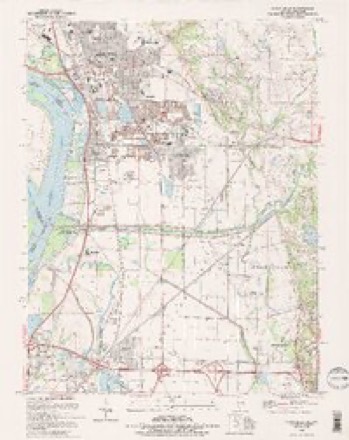
24 topographic sheets cover this place, the earliest surveyed in 1927 and the latest in 1994. It stands in Chouteau Township. It lies in ZIP code area 62040. The Survey maps it on the Wood River quadrangle. 1,217 people lived here at the 2020 count.
Population over time
2 figuresMitchell fell from 1,356 to 1,217 between 2010 and 2020. These are the recorded population figures Wikidata holds for this place, reached through the Geographic Names Information System number this page is keyed on rather than by name, so they belong to this place and not to another of the same name. Most are census counts, but not all are: an early figure may be a founding or settlement estimate, and an estimate published within five years of a census is left out. The change column is computed, and is left blank where more than 20 years separate a figure from the one before it, because a gap that long is not a change between two counts.
| Year | People | Change |
|---|---|---|
| 2010 | 1,356 | |
| 2020 | 1,217 | -139 (-10%) |
Topographic sheets covering this place
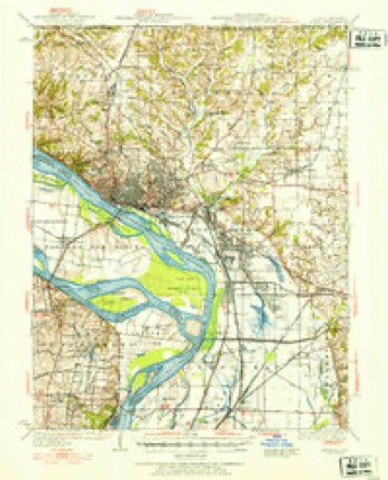
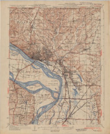
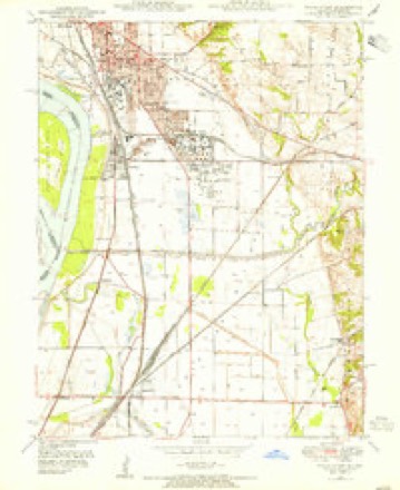
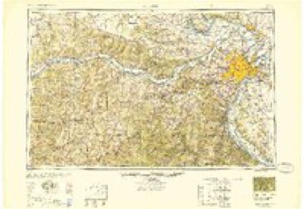
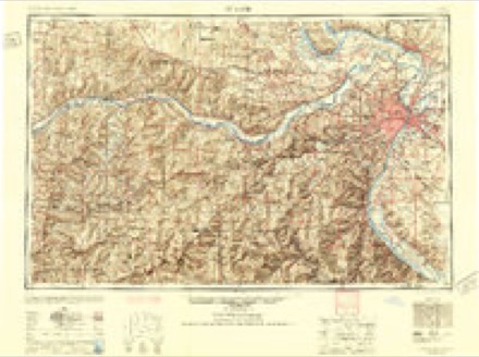
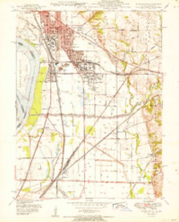
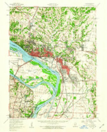
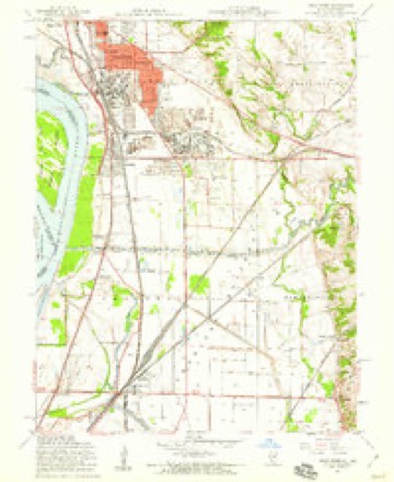
13 surveys from 24 printed sheetsMatched by testing this settlement's coordinate against the published boundary of every sheet in the United States Geological Survey's historical collection. Each opens the scanned sheet at the Survey.
- 1927 USGS Alton quadrangle1:62500
- 1934 USGS Alton quadrangle1:62500, 2 printings
- 1948 USGS Wood River quadrangle1:24000
- 1949 USGS Saint Louis quadrangle1:250000
- 1949 USGS St. Louis quadrangle1:250000
- 1951 USGS Wood River quadrangle1:24000
- 1955 USGS Alton quadrangle1:62500, 2 printings
- 1955 USGS Wood River quadrangle1:24000, 4 printings
- 1962 USGS St. Louis quadrangle1:250000
- 1963 USGS St. Louis quadrangle1:250000, 4 printings
- 1966 USGS St. Louis quadrangle1:250000
- 1985 USGS St Louis quadrangle1:100000, 3 printings
- 1994 USGS Wood River quadrangle1:24000, 2 printings
In the county-history sources
26 words on this townshipCentennial History of Madison County, Illinois, and Its People, 1812 to 1912, published 1912 has no passage naming this settlement, which was common for smaller places. Its township is covered in full.
The chapter on Chouteau Township covers natural features, early settlement, early land claims entered, pioneer hardships, pleasures and dangers, education and religion, first mill and store.
Read the chapter on Chouteau Township - 26 words.
Mines and quarries near this place
5 within 5 milesRegional context, not property-specific evidence. The federal mineral resources record lists 5 workings within 5 miles of Mitchell: 2 past producers, 1 occurrence, 1 prospect, 1 plant. 1 still produces. What was taken out: Sand and Gravel, Construction, Fire Clay (Refractory), Aluminum, Iron, Silica, Titanium. Distance is straight-line from the map coordinates, so a quarry counted here may appear on a neighbouring settlement's page as well.
| Where | Site | Commodity | Status | Recorded |
|---|---|---|---|---|
| Madison County Fireclay | Fire Clay (Refractory) | Occurrence | ||
| Madison County Fireclay | Aluminum, Iron, Silica, Titanium | Prospect | ||
| Barker Dredge | Sand and Gravel, Construction | Past Producer | ||
| City Plant & Mill | Sand and Gravel, Construction | Plant | ||
| Dredge & Mill #2 | Sand and Gravel, Construction | Past Producer |
Storms near this place
10 since 1998Regional context, not property-specific evidence. The National Weather Service names Mitchell in 10 storm reports between 1998 and 2025: 6 hail, 3 thunderstorm wind, 1 tornado. The reports record 6 deaths and 1 injury. Each account below is quoted exactly as the forecast office filed it, from the NOAA Storm Events Database, and each date opens the federal record of that event.
| When | Event | Place named | Harm | What the report says |
|---|---|---|---|---|
| December 2021 | Tornado (EF3) | Mitchell | 6 killed, 1 hurt, $5,000,000 | The tornado began on the south side of I-270 around three-quarters of a mile west of the I-270/I-255 interchange at 8:27 PM CST. Damage in this area consisted of several downed highway signs and a bent light pole. The tornado moved northeast and intensified rapidly after crossing I-255, striking an Amazon warehouse. The west-facing walls of the warehouse collapsed inward, which was followed by multiple structural failures as the tornado moved through the complex, including the collapse of additional walls and the loss of a large segment of the roof. This was the worst damage along the entire tornado track rated EF-3. Cars in the rear of the building were strewn eastward and power lines and several large high tension towers were also destroyed. There was one person injured and 6 fatalities at the Amazon facility. The tornado weakened as it moved northeast across Sand Road, where it destroyed an unanchored mobile home and an outbuilding, snapped trees, and downed power poles. Damage in this area was rated EF-1. Further northeast, the tornado crossed South University Drive where it snapped a power pole and downed additional trees. It then crossed into the Sunset Hills Country Club subdivision. Throughout a portion of the subdivision, there were downed trees, snapped branches, and superficial home damage consisting of missing shingles or small portions of roof covering. The tornado weakened further as it moved northeast, and lifted just west of Butler Boulevard at 8:35 PM CST. Noteworthy is debris from the Amazon warehouse was found along the entire track of this storm, tens of miles to the northeast of the warehouse. Overall, the tornado was rated EF3 with a path length of 4.22 miles and max path width of 300 yards. Six deaths and one injured were reported. |
| March 2024 | Hail | Mitchell | - | A discrete thunderstorm intensified quickly after crossing the Mississippi River into Madison County. From there it produced hail up to an inch in a line from Mitchell to Edwardsville, IL. No damage was reported. |
| May 2013 | Thunderstorm Wind | Mitchell | - | Thunderstorm winds blew down a large tree blocking the door to a house, trapping the occupant briefly. There was only minor structural damage to the house. |
| May 2025 | Hail | Mitchell | - | no account filed |
| May 2025 | Hail | Mitchell | - | no account filed |
| April 2019 | Hail | Mitchell | - | no account filed |
| May 2011 | Hail | Mitchell | - | no account filed |
| June 2009 | Hail | Mitchell | - | no account filed |
| July 2003 | Thunderstorm Wind | Mitchell | - | no account filed |
| July 1998 | Thunderstorm Wind | Mitchell | - | no account filed |
Nearest settlements
The eight closest, with where each one stands in the county. Distances are straight-line, computed from the Geographic Names Information System coordinates.
| Map | Place | Distance | Sheets |
|---|---|---|---|
| Brooks | 0.9 miles | 24 | |
| Cedar Park | 1.1 miles | 24 | |
| Saint Thomas | 1.7 miles | 24 | |
| Pontoon Beach | 2.1 miles | 21 | |
| Maryland Place | 2.5 miles | 21 | |
| Lakeview | 2.6 miles | 24 | |
| Oldenburg | 2.6 miles | 24 | |
| Stallings | 2.8 miles | 21 |
Elsewhere
Matched on this settlement's Geographic Names Information System number rather than its name, so it cannot be a different place of the same name in another state.
| Wikipedia article on Mitchell | An encyclopaedic summary. Its text is share-alike, so it is linked here rather than copied. |
| Wikidata item Q3471942 | The structured record the population and elevation above come from. Public domain (CC0). |
Provenance
This settlement is recorded in the Geographic Names Information System as feature 413681. The sheet list is computed by point-in-boundary test against the United States Geological Survey's historical topographic inventory. Both are works of the United States government and carry no copyright under 17 U.S.C. 105.
Mines and quarries. USGS Mineral Resources Data System (MRDS) https://mrdata.usgs.gov/mrds/ A work of the United States government, no copyright under 17 U.S.C. 105.
Storms. NOAA National Centers for Environmental Information, Storm Events Database https://www.ncei.noaa.gov/stormevents/ A work of the United States government, no copyright under 17 U.S.C. 105. Narratives are quoted verbatim from the National Weather Service report and are not edited or summarised.