 Block
Monee, Illinois
17 topographic sheets cover this place, the earliest surveyed in 1930 and the latest in 1998. It stands in Monee Township. It lies in ZIP code area 60449. The Survey maps it on the Steger quadrangle. 5,128 people lived here at the 2020 count. It stands 797 feet above sea level.
Population over time
2 figuresMonee fell from 5,148 to 5,128 between 2010 and 2020. These are the recorded population figures Wikidata holds for this place, reached through the Geographic Names Information System number this page is keyed on rather than by name, so they belong to this place and not to another of the same name. Most are census counts, but not all are: an early figure may be a founding or settlement estimate, and an estimate published within five years of a census is left out. The change column is computed, and is left blank where more than 20 years separate a figure from the one before it, because a gap that long is not a change between two counts.
| Year | People | Change |
|---|---|---|
| 2010 | 5,148 | |
| 2020 | 5,128 | -20 (-0%) |
Topographic sheets covering this place
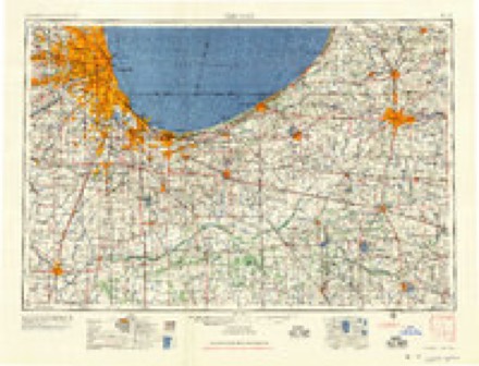
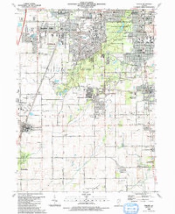
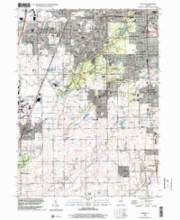
9 surveys from 17 printed sheetsMatched by testing this settlement's coordinate against the published boundary of every sheet in the United States Geological Survey's historical collection. Each opens the scanned sheet at the Survey.
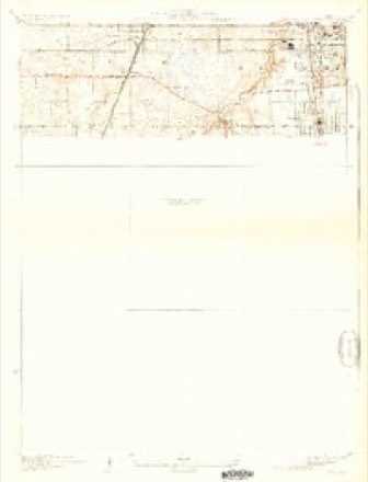
- 1930 USGS Steger quadrangle1:24000, 2 printings
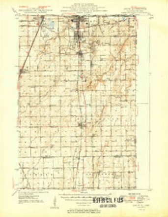
- 1949 USGS Crete quadrangle1:62500
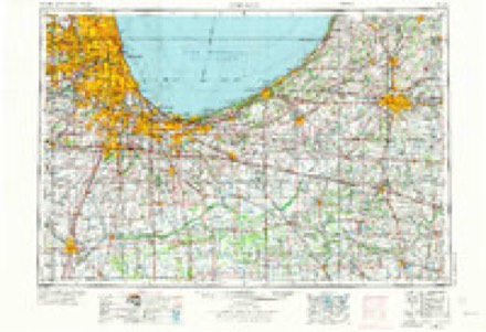
- 1953 USGS Chicago quadrangle1:250000, 5 printings
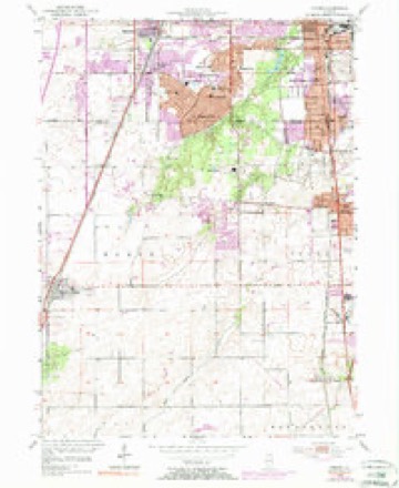
- 1953 USGS Steger quadrangle1:24000, 4 printings
- 1957 USGS Chicago quadrangle1:250000
- 1984 USGS Kankakee quadrangle1:100000
- 1990 USGS Steger quadrangle1:24000
- 1991 USGS Kankakee quadrangle1:100000
- 1998 USGS Steger quadrangle1:24000
In the county-history sources
4,475 words on this townshipThe History of Will County, Illinois, Containing a History of the County ... a Directory of Its Real Estate Owners; Portraits of Early Settlers and Prominent Men; General and Local Statistics ... History of Illinois ... History of the Northwest .., published 1878 names this settlement in its chapter on Monee Township. These are the passages that mention it, exactly as the scans read.
The year 1853 was an eventful one for this section of the State, which had, prior to that time, been without commercial privileges, except as carried on, by means of wagons, with Chicago. The enterprise of building a railroad through this part of the State had long been talked of, and some legislation had resulted therefrom ; though but few realized the importance of the scheme until the road was completed. In a few years, towns sprang up all along the line, and lands heretofore unoccupied were taken up in a short time. In a very few years, this Avhole region was almost as thickly settled as it is to-day. The western part of the township soon became the most densely populated, and the town of Monee has sprung up from what was, prior to that event, an open plain.
Passage source: The History of Will County, Illinois, Containing a History of the County ... a Directory of Its Real Estate Owners; Portraits of Early Settlers and Prominent Men; General and Local Statistics ... History of Illinois ... History of the Northwest .., published 1878.
The village of Monee was laid out by Henry M. Ward, for August Herbert, in 1853. August Herbert was in the Mexican war, and, being honorably discharged at the close, he was given a warrant entitling him to 160 acres of the unoccupied Government land, wherever he might choose to locate. So, in 1849, he found his way to this township, and located the southeast quarter of Section 21. When the railroad was located, though it did not run through Herbert's land, it ran so close that his land became available as a part of thetown site. He therefore sold to the railroad company forty acres ; and this, together with what Herbert laid out, embraces the principal part of the village. In 1853, Herbert built the first house in the village. He also built, in partnership with others, a warehouse ; built a storehouse and opened a general store, in which he continued until about two years ago, when he removed to Grant Park^ where he now resides. Though Herbert erected the first building (now a portion of Kettering's Hotel), a house had been brought by Simeon Abbott, from the south part of the township, which was used by the employes of the railroad company as a lodging-house. This house is still standing and occupies one of the most prominent corners in the village, and is used by Messrs. Sonneborn & Son for a tailoring establishment. Mr. Abbott lived in the house for a time, and then removed to Iowa, where he still resides. The first store building was erected in 1853, by 0. B. Dutton, the same now being in use by August Schifiier. Among the other early residents of the village were Adam Vatter, Bronson Wiley and Theodore Wernigk. Of these, Vatter was a carpenter, who gave most of his attention to the erection of churches ; and nearly all of the German churches in this, Greengarden, Peotone and Crete Townships are works of his. He still resides here.
Passage source: The History of Will County, Illinois, Containing a History of the County ... a Directory of Its Real Estate Owners; Portraits of Early Settlers and Prominent Men; General and Local Statistics ... History of Illinois ... History of the Northwest .., published 1878.
An attempt to establish an academy for a higher and special course of instruction was made in 1872. The building, called the Monee Academy, was erected in that year, named by Messrs. Janzen & Stassen. Prof. Janzen was put in charge of the institution, and hopes were entertained that this would develop into one of the leading institutions of the country. But after a short time, it was found that the encouragement received was not sufficient to warrant its continuance, and was abandoned.
Passage source: The History of Will County, Illinois, Containing a History of the County ... a Directory of Its Real Estate Owners; Portraits of Early Settlers and Prominent Men; General and Local Statistics ... History of Illinois ... History of the Northwest .., published 1878.
Machine-read from a century-old scan, so expect the errors a machine makes: misspelled names, dropped words, stray characters.
Read the whole chapter on Monee Township - it names this place 2 more 2 times.
Fires near this place
6 since 2012Regional context, not property-specific evidence. The federal wildfire occurrence database lists 6 fires within 5 miles of Monee between 2012 and 2017, burning about 4 acres in total. None started naturally. None was recorded as arson. Distance is straight-line from the map coordinates, so a fire counted here may appear on a neighbouring settlement's page as well.
| Reported cause | Fires |
|---|---|
| Missing data/not specified/undetermined | 5 |
| Railroad operations and maintenance | 1 |
The most recent of them, most recent first, with the day each was reported and the service that recorded it.
| Date | Cause | Size | Reported by | Name on the report |
|---|---|---|---|---|
| 30 September 2012 | Missing data/not specified/undetermined | under an acre | Illinois Division of Forestry Resources | 12-690 |
| 25 April 2017 | Missing data/not specified/undetermined | 2.0 acres | Illinois Division of Forestry Resources | 1700369 |
| 2 April 2017 | Railroad operations and maintenance | 1.0 acres | Illinois Division of Forestry Resources | 1700280 |
| 5 March 2012 | Missing data/not specified/undetermined | under an acre | Illinois Division of Forestry Resources | 12-140 |
| 13 March 2012 | Missing data/not specified/undetermined | under an acre | Illinois Division of Forestry Resources | 12-172 |
| 11 March 2012 | Missing data/not specified/undetermined | under an acre | Illinois Division of Forestry Resources | 12-166 |
Settlements close enough to share some of these fires:
Storms near this place
30 since 1993Regional context, not property-specific evidence. The National Weather Service names Monee in 30 storm reports between 1993 and 2025: 14 thunderstorm wind, 8 hail, 2 lightning, 2 flood. The reports record 6 injuries. Each account below is quoted exactly as the forecast office filed it, from the NOAA Storm Events Database, and each date opens the federal record of that event.
| When | Event | Place named | Harm | What the report says |
|---|---|---|---|---|
| June 2008 | Tornado (EF2) | Monee | 6 hurt, $5,500,000 | A tornado developed near Ridgeland Avenue and Dralle Road, where a high tension metal truss tower collapsed and four others were damaged. Power lines blocked Interstate 57. The tornado destroyed a mobile home and outbuildings east of Ridgeland between Dralle and Stuenkel Roads before crossing Interstate 57. The tornado was rated EF2 in this area. Six people were injured in vehicles on Interstate 57. Several cars were damaged and a semi trailer was completely destroyed. East of Interstate 57 at Stuenkel Road, a large warehouse had bay doors blown in, much of the roof collapsed, and the west wall blown in. Utility poles were pushed over along South Central Avenue. |
| July 2009 | Lightning | Monee | $25,000 | Lightning struck a home on Kensington Lane in Monee which started a fire. |
| August 2012 | Lightning | Monee | $10,000 | A barn caught fire due to a lightning strike near Harlem Avenue and Pauling Road. |
| August 2012 | Thunderstorm Wind | Monee | $5,000 | Several utility poles were blown over, nearly to the ground, but were not snapped, along Harlem Avenue, one mile south of Manhattan-Monee Road. |
| March 2025 | Thunderstorm Wind | Monee | - | Shingle and tree damage was reported between Court and Roosevelt Streets in Monee. |
| March 2025 | Thunderstorm Wind | Monee | - | Several instances of shingle and siding damage were found in the neighborhood immediately southeast of Monee Elementary School. A couple of fences were also downed and one shed was damaged. |
| March 2025 | Thunderstorm Wind | Monee | - | Shingle and siding damage was found on a couple of homes along Linden Ave near Middle Point Ave in Monee. |
| March 2025 | Thunderstorm Wind | Monee | - | Tree damage was found along Old Monee Steger Rd north of Crete Monee Rd. |
| May 2025 | Thunderstorm Wind | Monee | - | Tree and power line damage was reported along Timber Lane West. |
| May 2025 | Thunderstorm Wind | Monee | - | Numerous tree limbs 6 to 8 inches in diameter were blown down blocking sidewalks. |
| May 2024 | Hail | Monee | - | Hail up to quarter size lasted for 10 minutes near Pauling Road and Egyptian Trail. |
| March 2023 | Flood | Monee | - | A report was received noting streets and yards flooded in Monee. |
| June 2020 | Funnel Cloud | Monee | - | Multiple possible funnel clouds were reported northwest of Monee. |
| June 2011 | Hail | Monee | - | Nickel size hail was reported near Bruns and Ridgeland Roads. |
| May 2011 | Flood | Monee | - | The right lane of Interstate 57 near Monee was flooded with several inches of water from a nearby drainage ditch. |
| August 2009 | Heavy Rain | Monee | - | Rainfall of 2.15 inches was reported in the past 24 hours. |
| August 2008 | Thunderstorm Wind | Monee | - | A semi truck was blown over near Manhattan Road. |
| May 2007 | Thunderstorm Wind | Monee | - | Three 12 inch diameter trees were blown down. |
| April 2006 | Hail | Monee | - | Nickel size hail was reported near Interstate 57 and Manhattan/Monee Road. |
| June 2005 | Thunderstorm Wind | Monee | - | A metal storage shed was damaged three miles southeast of Monee and a gust to 60 mph was recorded in Crete. |
| May 2004 | Thunderstorm Wind | Monee | - | Large trees were down on Stuenkel Road, north of Monee. |
| May 2004 | Flash Flood | Monee | - | Flooding occurred at the intersection of Route 53 and Manhattan Road. |
| August 1993 | Thunderstorm Wind | Monee | - | Large tree branches were blown down. |
| June 2014 | Thunderstorm Wind | Monee | - | no account filed |
| May 2011 | Hail | Monee | - | no account filed |
| June 2008 | Hail | Monee | - | no account filed |
| July 2001 | Thunderstorm Wind | Monee | - | no account filed |
| April 1999 | Hail | Monee | - | no account filed |
| May 1996 | Hail | Monee | - | no account filed |
| April 1994 | Hail | Monee | - | no account filed |
Nearest settlements
The eight closest, with where each one stands in the county. Distances are straight-line, computed from the Geographic Names Information System coordinates.
| Map | Place | Distance | Sheets |
|---|---|---|---|
| Country Oaks | 0.7 miles | 17 | |
| Country Meadows | 1.0 miles | 17 | |
| Heatherbrook Estates | 1.3 miles | 17 | |
| Ridgeland Lakes Estates | 1.6 miles | 17 | |
| Gorman Farm | 1.9 miles | 17 | |
| Country Hills | 2.8 miles | 17 | |
| Goodenow | 5.9 miles | 17 | |
| Crete | 6.1 miles | 17 |
Elsewhere
Matched on this settlement's Geographic Names Information System number rather than its name, so it cannot be a different place of the same name in another state.
| Wikipedia article on Monee | An encyclopaedic summary. Its text is share-alike, so it is linked here rather than copied. |
| Wikidata item Q2113964 | The structured record the population and elevation above come from. Public domain (CC0). |
Provenance
This settlement is recorded in the Geographic Names Information System as feature 413720. The sheet list is computed by point-in-boundary test against the United States Geological Survey's historical topographic inventory. Both are works of the United States government and carry no copyright under 17 U.S.C. 105.
Wildfire. Short, Karen C. 2022. Spatial wildfire occurrence data for the United States, 1992-2020 [FPA_FOD_20221014]. 6th Edition. Fort Collins, CO: Forest Service Research Data Archive. https://doi.org/10.2737/RDS-2013-0009.6 Collected with United States Government funding and usable without additional permissions or fees.
Storms. NOAA National Centers for Environmental Information, Storm Events Database https://www.ncei.noaa.gov/stormevents/ A work of the United States government, no copyright under 17 U.S.C. 105. Narratives are quoted verbatim from the National Weather Service report and are not edited or summarised.