 Block
Moro, Illinois
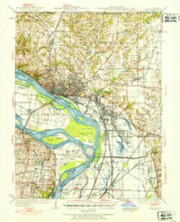
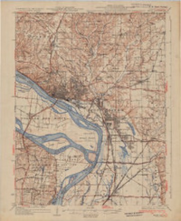
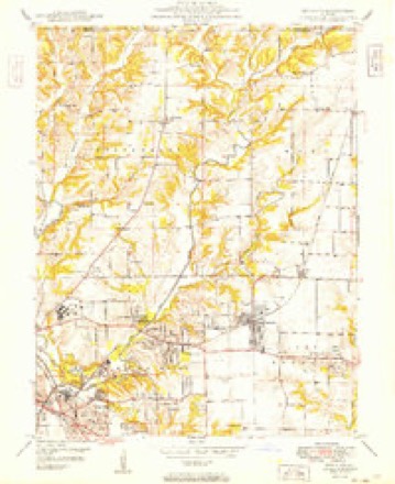
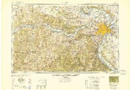
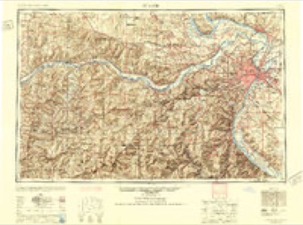
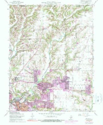
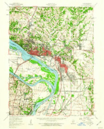
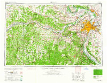
23 topographic sheets cover this place, the earliest surveyed in 1927 and the latest in 1993. It stands in Moro Township. It lies in ZIP code area 62067. The Survey maps it on the Bethalto quadrangle. 397 people lived here at the 2020 count. It stands 531 feet above sea level.
Topographic sheets covering this place
12 surveys from 23 printed sheetsMatched by testing this settlement's coordinate against the published boundary of every sheet in the United States Geological Survey's historical collection. Each opens the scanned sheet at the Survey.
- 1927 USGS Alton quadrangle1:62500
- 1934 USGS Alton quadrangle1:62500, 2 printings
- 1949 USGS Bethalto quadrangle1:24000
- 1949 USGS Saint Louis quadrangle1:250000
- 1949 USGS St. Louis quadrangle1:250000
- 1954 USGS Bethalto quadrangle1:24000, 5 printings
- 1955 USGS Alton quadrangle1:62500, 2 printings
- 1962 USGS St. Louis quadrangle1:250000
- 1963 USGS St. Louis quadrangle1:250000, 4 printings
- 1966 USGS St. Louis quadrangle1:250000
- 1985 USGS St Louis quadrangle1:100000, 3 printings
- 1993 USGS Bethalto quadrangle1:24000
In the county-history sources
601 words on this townshipHistory of Madison County, Illinois ... With Biographical Sketches .., published 1882 names this settlement in its chapter on Moro Township. These are the passages that mention it, exactly as the scans read.
Started with the building of the railroad through here in 1853. It was first called Hampton, and was laid out on the southwest corner of the southwest quarter of section 32, and blocks 34 and 35, on the southeast quarter of section 31, by James H. Smith and James Montgomery, and plat recorded March 7, 1855. August 23 of the same year, the same parties made a small addition, replatted the town, and named it Moro.
Passage source: History of Madison County, Illinois ... With Biographical Sketches .., published 1882.
Was born in Lincolnshire, England, February 28th, 1833, being the son of Samuel and Eliza Forman. When an infant, his mother died. His father married again, and in 1845 emigrated to America, with his wife and two children, William C. and Alfred. Samuel Forman came directly to Madison county, and settled in Fort Russell township, where he still remains, having followed the profession of farming since the period of his arrival in this country. The subject of this sketch remained at home with his father until his nineteenth year; he then went west, and for nine years was principally engaged in mining ope>-ations in Nevada, which proved very successful. Immediately after Mr. Forman's return from the mines he sought an opportunity for investing his capital, and became the owner of the farm he now occupies, in Moro township, formerly known as the Nimrod Dorsey farm. An illustration of the same can be seen on another page of this work. Mr. Forman has confined himself exclusively to fiirming operations since his return from the West, and has his land in an excellent state of cultivation. In 1874 he was united in marriage to Miss Sarah Tipton, daughter of Elijah Tipton, a former resident of Macoupin county. By this union there has been born a family of fi)ur children, Samuel E , William, Nellie, May and Sarah. Politically Mr. Forman is a staunch Republican.
Passage source: History of Madison County, Illinois ... With Biographical Sketches .., published 1882.
Machine-read from a century-old scan, so expect the errors a machine makes: misspelled names, dropped words, stray characters.
Read the whole chapter on Moro Township - it names this place 1 more 1 time.
Fires near this place
1 since 2008Regional context, not property-specific evidence. The federal wildfire occurrence database lists 1 fire within 5 miles of Moro in 2008, burning about 1 acre in total. None started naturally. None was recorded as arson. Distance is straight-line from the map coordinates, so a fire counted here may appear on a neighbouring settlement's page as well.
| Reported cause | Fires |
|---|---|
| Missing data/not specified/undetermined | 1 |
The most recent of them, most recent first, with the day each was reported and the service that recorded it.
| Date | Cause | Size | Reported by | Name on the report |
|---|---|---|---|---|
| 29 January 2008 | Missing data/not specified/undetermined | 1.0 acres | Illinois Division of Forestry Resources | RUPPERT |
Settlements close enough to share some of these fires:
Storms near this place
2 since 2018Regional context, not property-specific evidence. The National Weather Service names Moro in 2 storm reports between 2018 and 2026: 1 thunderstorm wind, 1 tornado. The reports record 1 injury. Each account below is quoted exactly as the forecast office filed it, from the NOAA Storm Events Database, and each date opens the federal record of that event.
| When | Event | Place named | Harm | What the report says |
|---|---|---|---|---|
| March 2026 | Tornado (EF1) | Moro | 1 hurt | A brief tornado moved through the communities of Moro and Midway, IL early in the morning of March 11, 2026. This tornado produced wind damage indicative of maximum wind speeds of approximately 110 miles per hour. Damage to trees, homes, and grain bins was observed. One injury was also reported. |
| July 2018 | Thunderstorm Wind | Moro | - | Thunderstorm winds blew down a large tree along McCoy Road. |
Nearest settlements
The eight closest, with where each one stands in the county. Distances are straight-line, computed from the Geographic Names Information System coordinates.
| Map | Place | Distance | Sheets |
|---|---|---|---|
| Bethalto | 1.5 miles | 23 | |
| Meadowbrook | 2.0 miles | 23 | |
| Midway | 2.7 miles | 14 | |
| Cottage Hills | 3.0 miles | 23 | |
| Forest Homes | 3.5 miles | 23 | |
| Dorsey | 3.5 miles | 23 | |
| Oakwood Heights | 3.9 miles | 23 | |
| Rosewood Heights | 4.2 miles | 23 |
Elsewhere
Matched on this settlement's Geographic Names Information System number rather than its name, so it cannot be a different place of the same name in another state.
| Wikipedia article on Moro | An encyclopaedic summary. Its text is share-alike, so it is linked here rather than copied. |
| Wikidata item Q6913054 | The structured record the population and elevation above come from. Public domain (CC0). |
Provenance
This settlement is recorded in the Geographic Names Information System as feature 413830. The sheet list is computed by point-in-boundary test against the United States Geological Survey's historical topographic inventory. Both are works of the United States government and carry no copyright under 17 U.S.C. 105.
Wildfire. Short, Karen C. 2022. Spatial wildfire occurrence data for the United States, 1992-2020 [FPA_FOD_20221014]. 6th Edition. Fort Collins, CO: Forest Service Research Data Archive. https://doi.org/10.2737/RDS-2013-0009.6 Collected with United States Government funding and usable without additional permissions or fees.
Storms. NOAA National Centers for Environmental Information, Storm Events Database https://www.ncei.noaa.gov/stormevents/ A work of the United States government, no copyright under 17 U.S.C. 105. Narratives are quoted verbatim from the National Weather Service report and are not edited or summarised.