 Block
Mossville, Illinois
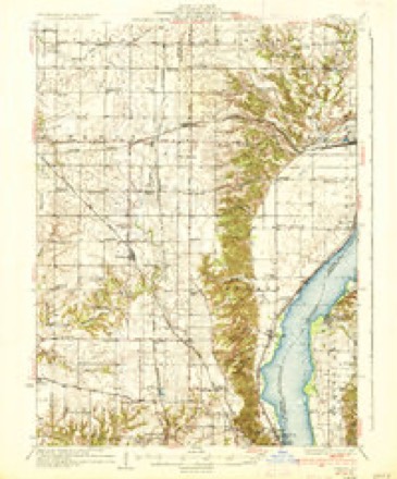
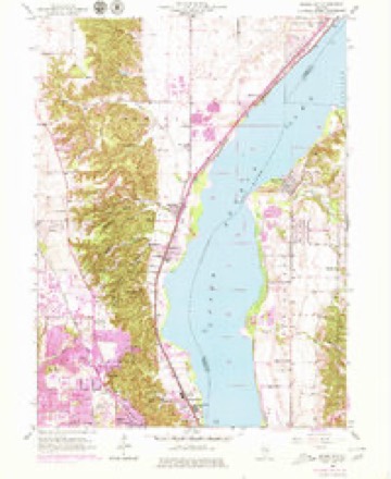
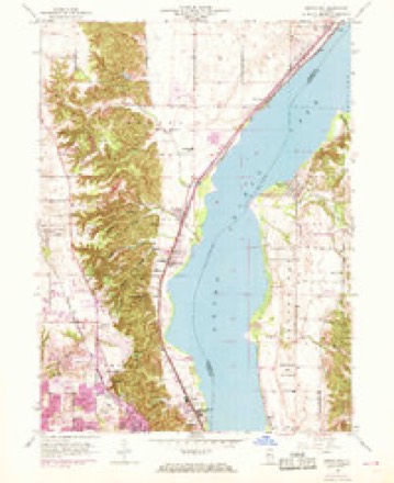
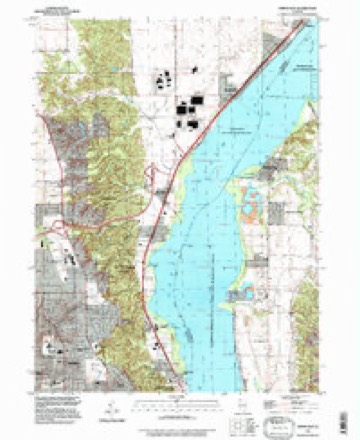
23 topographic sheets cover this place, the earliest surveyed in 1893 and the latest in 1996. It stands in Medina Township. It lies in ZIP code area 61552. It lies near Strawberry Hollow. The Survey maps it on the Spring Bay quadrangle. 268 people lived here at the 2020 count.
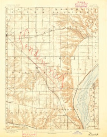
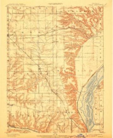
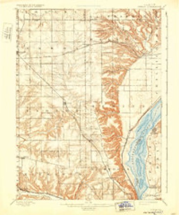
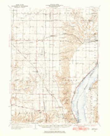
Topographic sheets covering this place
14 surveys from 23 printed sheetsMatched by testing this settlement's coordinate against the published boundary of every sheet in the United States Geological Survey's historical collection. Each opens the scanned sheet at the Survey.
- 1893 USGS Dunlap quadrangle1:62500
- 1898 USGS Dunlap quadrangle1:62500, 4 printings
- 1932 USGS Dunlap quadrangle1:62500
- 1933 USGS Dunlap quadrangle1:62500
- 1937 USGS Dunlap quadrangle1:62500, 3 printings
- 1949 USGS Spring Bay quadrangle1:24000
- 1950 USGS Spring Bay quadrangle1:24000, 2 printings
- 1958 USGS Peoria quadrangle1:250000, 4 printings
- 1961 USGS Peoria quadrangle1:250000
- 1963 USGS Peoria quadrangle1:250000
- 1985 USGS Peoria quadrangle1:100000
- 1989 USGS Peoria quadrangle1:100000
- 1990 USGS Peoria quadrangle1:250000
- 1996 USGS Spring Bay quadrangle1:24000






In the county-history sources
14,539 words on this townshipThe History of Peoria County, Illinois. Containing a History of the Northwest--history of Illinois--history of the County, Its Early Settlement, Growth, Development, Resources, Etc., Etc. .., published 1880 names this settlement in its chapter on Medina Township. These are the passages that mention it, exactly as the scans read.
The first settler within the limits now comprisefl in this township was undoubtedly George Love, who came with his family from Park Co., Indian;i, and settled November 10, 1824, near the spot now occupied by the village of Mossville. He had at that time no nearer neighbor than Fort Clark in one direction, and the Fox river in the other. In course of the succeeding year some five or six families settled near them. John Ridgcway WiLS the first to follow and he helped the Loves to build tlieir house. Eilmund Weed Briarley. Abner Cooper, Henry Thomas and Samuel Clifton came next. The latter on coming bought out Weed's claim. Several other families whose names can not now be learned settled within a mile or so of Love's cabin, but staying only a short time sold their claims and moved on towards the setting sun. This was at that time the most thickly settled portion of the northern half of Peoria county. No saw or grist mill was erected in the township till about the year 18.50, except some circle saw-mills which were put u|i about 18.5.3. The Indians at that time were very numerous. The Puttawattomies were native to the county, and numerous other roving bands of Sacs, Foxes and Winnelmgoes with a few Chippeways and Delawares were encamped and hunted all over it.
Passage source: The History of Peoria County, Illinois. Containing a History of the Northwest--history of Illinois--history of the County, Its Early Settlement, Growth, Development, Resources, Etc., Etc. .., published 1880.
In 182.5 a small colony sprung up near the nortliern boundary of the township, and among those forming it were the Avery's, Stephen French, Stephen Carl, and Resolve Cleveland with their families and they occupieil at first the abandoned i)ark houses of an Indian town on Sec. 4. In the Spring of 1H:',1, Mr. Linas Scovill with his family came from Vermillion county, Ind., and settled on a claim which he had previously bought from one of the Love family. The claim then entered upon is still owned b^' Mr. Scovill's son, who bears his father's name. The settlement at Mossville was directly in the track of tlie emigration going on itetwecn the years 1828 to 18:1.5, to (Jalena, and the numbers passing through afforded a ready market for all surplus grain, garden jiroducts, etc. .Much was also disposed of to voyagers ujion the river. Between 18ol and 1840 the district was settled up rapidly, and good claims advanced greatly in price. Among those coming between these vears mav be mentioned, Gershom Silliman and family who seton Sec. 2 in 18.T1. John E. Bristol and Nicholas Sturm in 1S.',2. Tlios. .Mooney and his sons James and William in 18:5.5, J. H. and I. W. Case in ls8t;, William H(ibins(ui in 18:17, anil John P. Ntal and Jonathan W. Rice in 18.',8. Simon Reed and Hiram M. Curry were the first justices of the peace, and held office in 182!>. The first marriage was that of Abner Cooper to Sally Sheldon in February, 182t), near Mossville. They were married by Rev. Mr. Cormack, a Baptist preacher. Rev. John Thomas also a Baptist, preached the first sermon.
Passage source: The History of Peoria County, Illinois. Containing a History of the Northwest--history of Illinois--history of the County, Its Early Settlement, Growth, Development, Resources, Etc., Etc. .., published 1880.
The township contains two villages. Mossville on Sec. 27 and Alta on Sec. 31. The former has a population of about two hundred, and i^ situated near the first land taken up in the township. It is on the line of the Bureau branch of the Chicaijo, Rock Island and Pacific Railroad, which was opened in 1854, and the village was laid off about the same time. It was named after Wm. S. iloss, who owned, in company with Isaac Underbill, the quarter section on wliich the village stands at the time the railroad was laid through it. Few villages of its population possess better church or school edifices. Mr. A. Marberrv, the postmaster, is proprietor of the only store in it, and the Mossville House, conducted for many years by Mr. John Crawl, offers excellent accommodation for the weary stranger.
Passage source: The History of Peoria County, Illinois. Containing a History of the Northwest--history of Illinois--history of the County, Its Early Settlement, Growth, Development, Resources, Etc., Etc. .., published 1880.
Machine-read from a century-old scan, so expect the errors a machine makes: misspelled names, dropped words, stray characters.
Read the whole chapter on Medina Township - it names this place 17 more 17 times.
Fires near this place
1 since 2018Regional context, not property-specific evidence. The federal wildfire occurrence database lists 1 fire within 5 miles of Mossville in 2018, burning under an acre in total. None started naturally. None was recorded as arson. Distance is straight-line from the map coordinates, so a fire counted here may appear on a neighbouring settlement's page as well.
| Reported cause | Fires |
|---|---|
| Debris and open burning | 1 |
The most recent of them, most recent first, with the day each was reported and the service that recorded it.
| Date | Cause | Size | Reported by | Name on the report |
|---|---|---|---|---|
| 24 July 2018 | Debris and open burning | under an acre | Illinois Division of Forestry Resources | 075-18 |
Settlements close enough to share some of these fires:
Mines and quarries near this place
4 within 5 milesRegional context, not property-specific evidence. The federal mineral resources record lists 4 workings within 5 miles of Mossville: 3 producers, 1 past producer. 3 still produce. What was taken out: Sand and Gravel, Construction. Distance is straight-line from the map coordinates, so a quarry counted here may appear on a neighbouring settlement's page as well.
| Where | Site | Commodity | Status | Recorded |
|---|---|---|---|---|
| Construction Materials Gravel Pit | Sand and Gravel, Construction | Producer | ||
| Peoria Concrete Construction Co Pit | Sand and Gravel, Construction | Producer | ||
| Powley Gravel Pit | Sand and Gravel, Construction | Producer | ||
| Spring Bay Sand | Sand and Gravel, Construction | Past Producer |
Storms near this place
13 since 1996Regional context, not property-specific evidence. The National Weather Service names Mossville in 13 storm reports between 1996 and 2025: 6 hail, 4 thunderstorm wind, 2 flash flood, 1 tornado. No death or injury is recorded in these reports. Each account below is quoted exactly as the forecast office filed it, from the NOAA Storm Events Database, and each date opens the federal record of that event.
| When | Event | Place named | Harm | What the report says |
|---|---|---|---|---|
| August 2012 | Thunderstorm Wind | Mossville | $4,000 | A 12-inch diameter tree was blown down, bringing a power line down with it. A road was blocked by the tree. |
| March 2025 | Thunderstorm Wind | Mossville | - | Multiple trees were blown down by thunderstorm winds. |
| April 2023 | Flash Flood | Mossville | - | Roadways flooded in Mossville, including Illinois Routes 6 and 29. |
| July 2005 | Thunderstorm Wind | Mossville | - | Numerous tree limbs and power lines blown down. |
| May 2003 | Thunderstorm Wind | Mossville | - | A tree was blown down onto a house in Mossville. It caused minor damage to the house. No injuries were reported. |
| May 2017 | Hail | Mossville | - | no account filed |
| June 2013 | Hail | Mossville | - | no account filed |
| June 2009 | Hail | Mossville | - | no account filed |
| June 2009 | Hail | Mossville | - | no account filed |
| August 2008 | Hail | Mossville | - | no account filed |
| May 2003 | Hail | Mossville | - | no account filed |
| June 1996 | Flash Flood | Mossville | - | no account filed |
| June 1996 | Tornado (F0) | Mossville | - | no account filed |
Nearest settlements
The eight closest, with where each one stands in the county. Distances are straight-line, computed from the Geographic Names Information System coordinates.
| Map | Place | Distance | Sheets |
|---|---|---|---|
| Cedar Bluff Estates | 2.8 miles | 23 | |
| South Rome | 2.9 miles | 23 | |
| Alta | 3.5 miles | 22 | |
| Sankoty | 3.9 miles | 23 | |
| Keller | 4.0 miles | 23 | |
| Long Shore Park | 4.1 miles | 23 | |
| Peoria Heights | 4.7 miles | 21 | |
| Pioneer | 5.1 miles | 22 |
Elsewhere
Matched on this settlement's Geographic Names Information System number rather than its name, so it cannot be a different place of the same name in another state.
| Wikipedia article on Mossville | An encyclopaedic summary. Its text is share-alike, so it is linked here rather than copied. |
| Wikidata item Q3324966 | The structured record the population and elevation above come from. Public domain (CC0). |
Provenance
This settlement is recorded in the Geographic Names Information System as feature 413887. The sheet list is computed by point-in-boundary test against the United States Geological Survey's historical topographic inventory. Both are works of the United States government and carry no copyright under 17 U.S.C. 105.
Wildfire. Short, Karen C. 2022. Spatial wildfire occurrence data for the United States, 1992-2020 [FPA_FOD_20221014]. 6th Edition. Fort Collins, CO: Forest Service Research Data Archive. https://doi.org/10.2737/RDS-2013-0009.6 Collected with United States Government funding and usable without additional permissions or fees.
Mines and quarries. USGS Mineral Resources Data System (MRDS) https://mrdata.usgs.gov/mrds/ A work of the United States government, no copyright under 17 U.S.C. 105.
Storms. NOAA National Centers for Environmental Information, Storm Events Database https://www.ncei.noaa.gov/stormevents/ A work of the United States government, no copyright under 17 U.S.C. 105. Narratives are quoted verbatim from the National Weather Service report and are not edited or summarised.