 Block
Alta, Illinois
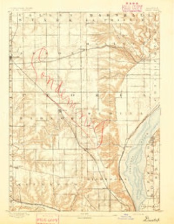
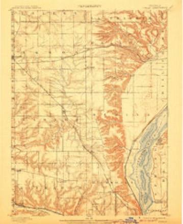
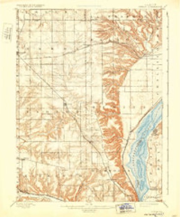
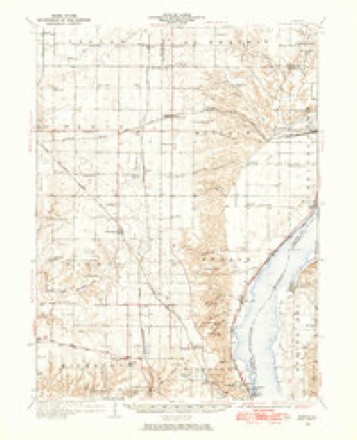
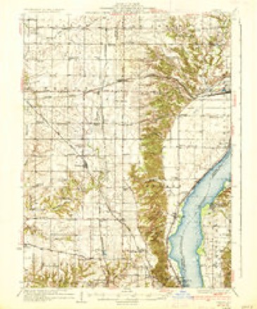
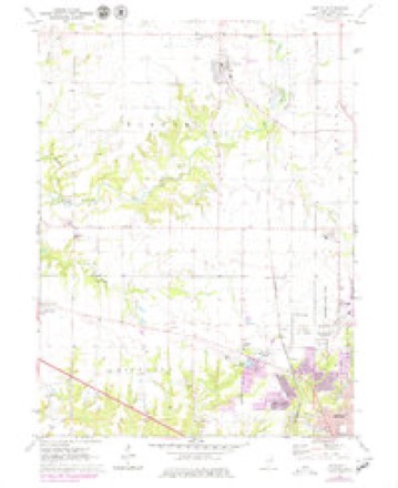
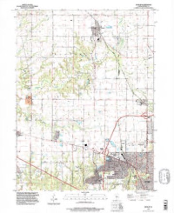
22 topographic sheets cover this place, the earliest surveyed in 1893 and the latest in 1996. It stands in Medina Township. It lies in ZIP code area 61615. The Survey maps it on the Dunlap quadrangle. It stands 751 feet above sea level.
Topographic sheets covering this place
13 surveys from 22 printed sheetsMatched by testing this settlement's coordinate against the published boundary of every sheet in the United States Geological Survey's historical collection. Each opens the scanned sheet at the Survey.
- 1893 USGS Dunlap quadrangle1:62500
- 1898 USGS Dunlap quadrangle1:62500, 4 printings
- 1932 USGS Dunlap quadrangle1:62500
- 1933 USGS Dunlap quadrangle1:62500
- 1937 USGS Dunlap quadrangle1:62500, 3 printings
- 1958 USGS Peoria quadrangle1:250000, 4 printings
- 1961 USGS Peoria quadrangle1:250000
- 1963 USGS Peoria quadrangle1:250000
- 1971 USGS Dunlap quadrangle1:24000, 2 printings
- 1985 USGS Peoria quadrangle1:100000
- 1989 USGS Peoria quadrangle1:100000
- 1990 USGS Peoria quadrangle1:250000
- 1996 USGS Dunlap quadrangle1:24000






In the county-history sources
14,539 words on this townshipThe History of Peoria County, Illinois. Containing a History of the Northwest--history of Illinois--history of the County, Its Early Settlement, Growth, Development, Resources, Etc., Etc. .., published 1880 names this settlement in its chapter on Medina Township. These are the passages that mention it, exactly as the scans read.
The township contains two villages. Mossville on Sec. 27 and Alta on Sec. 31. The former has a population of about two hundred, and i^ situated near the first land taken up in the township. It is on the line of the Bureau branch of the Chicaijo, Rock Island and Pacific Railroad, which was opened in 1854, and the village was laid off about the same time. It was named after Wm. S. iloss, who owned, in company with Isaac Underbill, the quarter section on wliich the village stands at the time the railroad was laid through it. Few villages of its population possess better church or school edifices. Mr. A. Marberrv, the postmaster, is proprietor of the only store in it, and the Mossville House, conducted for many years by Mr. John Crawl, offers excellent accommodation for the weary stranger.
Passage source: The History of Peoria County, Illinois. Containing a History of the Northwest--history of Illinois--history of the County, Its Early Settlement, Growth, Development, Resources, Etc., Etc. .., published 1880.
Alta is a railway station and post ofiice on the Peoria and Rock Island Railroad, and was laid off for Imri Case, Thos. Hanson and Loren Wilder in March, 1873, and gained its name from its elevated position, being the highest point lietween Peoria and Rock Island. On account of the increased postal facilities gained from the establishment of a depot there, the village has been a great convenience to the inhabitants of that portion of the township. It contains a general stoi-e kept by Clarence Case, who is also postmaster, a grocery kept by Ahlen Hawley. the Potter Brothers' cheese factory, capable of handling several thousand pounds of milk per day, and a blacksmith and wagon shop. A prominent feature of the place is the public school. The building is one of the best in the township. A lodge of the A. F. & A. M., and a temperance reform club are prosperously conducted in the village.
Passage source: The History of Peoria County, Illinois. Containing a History of the Northwest--history of Illinois--history of the County, Its Early Settlement, Growth, Development, Resources, Etc., Etc. .., published 1880.
Machine-read from a century-old scan, so expect the errors a machine makes: misspelled names, dropped words, stray characters.
Read the whole chapter on Medina Township - it names this place 3 more 3 times.
Fires near this place
2 since 2018Regional context, not property-specific evidence. The federal wildfire occurrence database lists 2 fires within 5 miles of Alta in 2018, burning about 10 acres in total. None started naturally. None was recorded as arson. Distance is straight-line from the map coordinates, so a fire counted here may appear on a neighbouring settlement's page as well.
| Reported cause | Fires |
|---|---|
| Debris and open burning | 2 |
The most recent of them, most recent first, with the day each was reported and the service that recorded it.
| Date | Cause | Size | Reported by | Name on the report |
|---|---|---|---|---|
| 24 July 2018 | Debris and open burning | under an acre | Illinois Division of Forestry Resources | 075-18 |
| 23 March 2018 | Debris and open burning | 10 acres | Illinois Division of Forestry Resources | 2018188 |
Settlements close enough to share some of these fires:
Storms near this place
18 since 1998Regional context, not property-specific evidence. The National Weather Service names Alta in 18 storm reports between 1998 and 2025: 8 thunderstorm wind, 8 hail, 1 lightning, 1 tornado. No death or injury is recorded in these reports. Each account below is quoted exactly as the forecast office filed it, from the NOAA Storm Events Database, and each date opens the federal record of that event.
| When | Event | Place named | Harm | What the report says |
|---|---|---|---|---|
| August 2008 | Lightning | Alta | $45,000 | Lightning struck two houses in the same neighborhood in the far northern sections of the city of Peoria. Both houses were set on fire as a result of the lightning. One house had minor damage to the roof and siding, while the other house lost the entire roof. There were no injuries. |
| August 2020 | Thunderstorm Wind | Alta | $20,000 | An 8-inch diameter tree was blown onto a home on the 3300 block of Alta Lane. |
| June 2009 | Thunderstorm Wind | Alta | $15,000 | Large tree branches were blown down. |
| June 2013 | Thunderstorm Wind | Alta | $2,000 | A large tree was uprooted. |
| May 2025 | Thunderstorm Wind | Alta | - | Several small tree branches were blown down. |
| July 2024 | Tornado (EF0) | Alta | - | The tornado began three miles northwest of Alta, along west Club Road near the intersection with Route 91. It damaged several trees in that neighborhood. The tornado then progressed east, producing additional tree damage as well as roof and siding damage to a home in the Trail View Estates neighborhood. Additional tree damage occurred along west Alta Lane before the tornado dissipated as it reached Alta. |
| May 2023 | Thunderstorm Wind | Alta | - | A few tree branches were blown down. |
| November 2020 | Thunderstorm Wind | Alta | - | A large tree was blown down. |
| August 2020 | Thunderstorm Wind | Alta | - | Several 8-inch diameter tree limbs were blown down. |
| May 1998 | Thunderstorm Wind | Alta | - | Thunderstorm winds blew down several trees, broke one off about 4 feet above the ground, and blew down numerous large tree limbs in the Rock Island State Trail area one mile northwest of Alta. No injuries were reported. |
| March 2024 | Hail | Alta | - | no account filed |
| April 2023 | Hail | Alta | - | no account filed |
| May 2023 | Hail | Alta | - | no account filed |
| May 2023 | Hail | Alta | - | no account filed |
| March 2017 | Hail | Alta | - | no account filed |
| March 2016 | Hail | Alta | - | no account filed |
| June 2013 | Hail | Alta | - | no account filed |
| June 2013 | Hail | Alta | - | no account filed |
Nearest settlements
The eight closest, with where each one stands in the county. Distances are straight-line, computed from the Geographic Names Information System coordinates.
| Map | Place | Distance | Sheets |
|---|---|---|---|
| Cedar Bluff Estates | 2.0 miles | 23 | |
| Pioneer | 2.2 miles | 22 | |
| Orange Prairie | 3.0 miles | 22 | |
| Mossville | 3.5 miles | 23 | |
| Keller | 3.9 miles | 23 | |
| Dunlap | 4.2 miles | 22 | |
| Golden Acres | 4.6 miles | 19 | |
| Sankoty | 5.1 miles | 23 |
Elsewhere
Matched on this settlement's Geographic Names Information System number rather than its name, so it cannot be a different place of the same name in another state.
| Wikipedia article on Alta | An encyclopaedic summary. Its text is share-alike, so it is linked here rather than copied. |
| Wikidata item Q4735939 | The structured record the population and elevation above come from. Public domain (CC0). |
Provenance
This settlement is recorded in the Geographic Names Information System as feature 403461. The sheet list is computed by point-in-boundary test against the United States Geological Survey's historical topographic inventory. Both are works of the United States government and carry no copyright under 17 U.S.C. 105.
Wildfire. Short, Karen C. 2022. Spatial wildfire occurrence data for the United States, 1992-2020 [FPA_FOD_20221014]. 6th Edition. Fort Collins, CO: Forest Service Research Data Archive. https://doi.org/10.2737/RDS-2013-0009.6 Collected with United States Government funding and usable without additional permissions or fees.
Storms. NOAA National Centers for Environmental Information, Storm Events Database https://www.ncei.noaa.gov/stormevents/ A work of the United States government, no copyright under 17 U.S.C. 105. Narratives are quoted verbatim from the National Weather Service report and are not edited or summarised.