 Block
New Lenox, Illinois
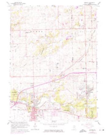
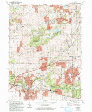
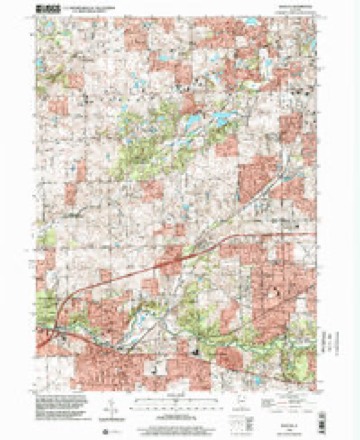
23 topographic sheets cover this place, the earliest surveyed in 1890 and the latest in 1998. It stands in New Lenox Township. It lies in ZIP code area 60451. It stands on Marley Creek. The Survey maps it on the Mokena quadrangle. 27,214 people lived here at the 2020 count.
Population over time
2 figuresNew Lenox grew from 24,394 to 27,214 between 2010 and 2020. These are the recorded population figures Wikidata holds for this place, reached through the Geographic Names Information System number this page is keyed on rather than by name, so they belong to this place and not to another of the same name. Most are census counts, but not all are: an early figure may be a founding or settlement estimate, and an estimate published within five years of a census is left out. The change column is computed, and is left blank where more than 20 years separate a figure from the one before it, because a gap that long is not a change between two counts.
| Year | People | Change |
|---|---|---|
| 2010 | 24,394 | |
| 2020 | 27,214 | +2,820 (+12%) |
Topographic sheets covering this place
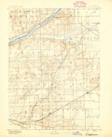
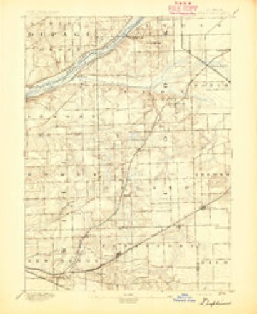
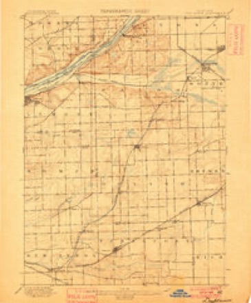
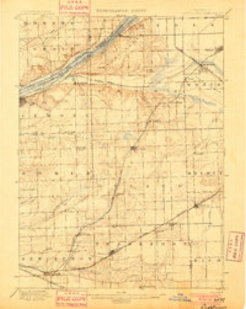
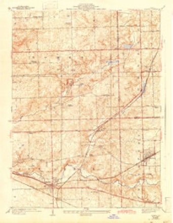
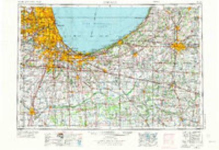
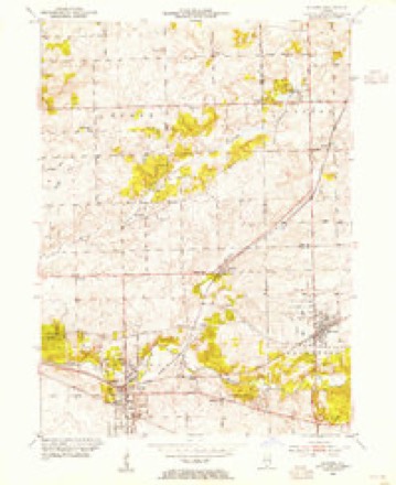
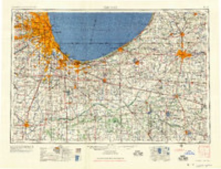
12 surveys from 23 printed sheetsMatched by testing this settlement's coordinate against the published boundary of every sheet in the United States Geological Survey's historical collection. Each opens the scanned sheet at the Survey.
- 1890 USGS Des Plaines quadrangle1:62500
- 1894 USGS Des Plaines quadrangle1:62500
- 1900 USGS Des Plaines quadrangle1:62500
- 1901 USGS Des Plaines quadrangle1:62500, 5 printings
- 1929 USGS Mokena quadrangle1:24000, 3 printings
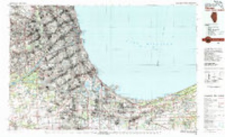
- 1953 USGS Chicago quadrangle1:250000, 5 printings
- 1953 USGS Mokena quadrangle1:24000
- 1957 USGS Chicago quadrangle1:250000
- 1963 USGS Mokena quadrangle1:24000, 2 printings
- 1980 USGS Chicago quadrangle1:100000
- 1993 USGS Mokena quadrangle1:24000
- 1998 USGS Mokena quadrangle1:24000
In the county-history sources
922 words on this townshipHistory of Will County Illinois, published 1878 names this settlement in its chapter on New Lenox Township. These are the passages that mention it, exactly as the scans read.
This pretty little village is situated on the banks of Hickory Creek, and on the Rock Island & Pacific Railroad, thirty-three miles from Chicago, and about six miles from Joliet. It is surrounded by a beautiful grove of timber, and grand old forest-trees shade it in Summer and protect it against the storms of Winter. The village of New Lenox was laid out in 1858 by George Gaylord, of Lockport, and surveyed by A. J. Mathewson, County Surveyor. The village is known on the original plat by the name of Tracy, and was given in honor of the General Superintendent of the railroad at the time of the layingout of the village. But with a modesty rarely met with in tne present day, he shrank from such notoriety, and at his urgent request, the name was changed to New Lenox, to correspond with the name of the township. A man of the name of Robinson built the first residence in the village, and Van Horne put up the next one. Both of these were built before .the village was laid out.
Passage source: History of Will County Illinois, published 1878.
The village of Spencer is situated on the cut-off division of the Michigan Central Railroad, about nine miles from Joliet, and is two miles from New Lenox village. It was surveyed by A. J. Mathewson, County Surveyor, for Frank Goodspeed and Albert Mudge, who owned the land on which it is loca- ted. It was laid out in 1856, about the time the railroad was built through this section. The first storehouse erected in the place was the one occupied by Russell Kennedy in 1856, the same year the village was laid out. The post office was established in 1857, and James Holmes was appointed Postmaster, an office he still holds. The first grain elevator was built in 1857 by the railroad company, and, on its completion, was dedicated by a rousing ball, in which the boys and girls of the surrounding country participated to their entire satisfaction. In 1875, H. S. Carpenter built another large elevator, and this, likewise, was similarly dedicated. Indeed, this seems to be the usual mode of opening elevators in this section of the country. It is now operated by W. M. Dudley, who, also, has the other elevator rented, in order to keep other parties out of the business at this point. He handles annually something like 800 carloads of grain - principally corn and oats. The general business of Spencer is two stores, by N. P. Holmes and Knapp Brothers; one saloon, a post office, a blacksmith-shop, a shoe-shop, two grain elevators and one grain dealer. There is neither a church or schoolhouse within the limits of the village. A considable amount of business is transacted in this little and apparently unimportant village - far more than a stranger would imagine at first sight; but it is in the midst of a rich and fertile region, and immense quantities of grain and stock are annually shipped from this little station.
Passage source: History of Will County Illinois, published 1878.
Machine-read from a century-old scan, so expect the errors a machine makes: misspelled names, dropped words, stray characters.
Storms near this place
37 since 1994Regional context, not property-specific evidence. The National Weather Service names New Lenox in 37 storm reports between 1994 and 2026: 21 thunderstorm wind, 9 hail, 3 flood, 2 flash flood. No death or injury is recorded in these reports. Each account below is quoted exactly as the forecast office filed it, from the NOAA Storm Events Database, and each date opens the federal record of that event.
| When | Event | Place named | Harm | What the report says |
|---|---|---|---|---|
| August 2025 | Flash Flood | New Lenox | $250,000 | Numerous reports of street, yard, and basement flooding came out of the Joliet, Crest Hill, Lockport, and Homer Glen areas. In Homer Glen, a video shared via social media showed 1 to 2 feet of standing water on a residential street southwest of 167th St and Cedar Rd. Around 50 flooded structures were estimated amounting to roughly $250,000 in damages. |
| May 2007 | Lightning | New Lenox | $50,000 | A school was struck by lightning at Nelson Road, south of Laraway Road, which caused a fire and significant damage to the roof. A house was struck by lightning near Joliet Highway and Schoolhouse Road. |
| March 2026 | Hail | New Lenox | - | Quarter to golf ball size hail was reported in multiple locations in New Lenox. |
| March 2025 | Thunderstorm Wind | New Lenox | - | A semi truck was blown over on Laraway Rd west of Cedar Rd. |
| March 2025 | Tornado (EF0) | New Lenox | - | This brief tornado began in a subdivision just east of the Arnold J. Tyler Elementary school in New Lenox. It continued to the northeast and crossed Joliet Highway near Anderson Road and then turned eastward, causing shingle, tree, and fencing damage to houses on either side of Schoolhouse Road. Damage became sporadic as the tornado lifted and dissipated over the Bluestone Commons Retail Center. Damage along the track was consistent with an EF-0 tornado with peak winds near 70 mph. |
| March 2025 | Thunderstorm Wind | New Lenox | - | Damage to siding was reported in the Nelson Prairie neighborhood of New Lenox. |
| July 2025 | Thunderstorm Wind | New Lenox | - | Photos showed a few tree limbs blown down near Cherry Wood Lane and Cimarron Drive and also near Andrea Drive. |
| May 2024 | Hail | New Lenox | - | Dime to quarter size hail was reported along Laraway Road near Nelson Road and Cedar Road. |
| June 2023 | Thunderstorm Wind | New Lenox | - | A farm stand tent was heavily damaged and fence panels were blown out. A small tree was also snapped. |
| August 2022 | Thunderstorm Wind | New Lenox | - | Numerous trees, tree limbs and power lines were blown down across northern portions of New Lenox. Some trees were uprooted. Some of the hardest hit areas were subdivisions along Parker Road, south of Route 6. One large tree crushed a deck and a garage. Another large evergreen tree, 40 to 50 feet tall, fell onto a house in the 100 block of Wood Street causing damage to the roof and gutters. Several large tree limbs were blown down in the Cedar Road and Francis Road area. Two semi trucks were blown over on Interstate 80 near Interstate 355. |
| August 2021 | Thunderstorm Wind | New Lenox | - | Multiple trees were blown down. |
| July 2020 | Thunderstorm Wind | New Lenox | - | A tree was blown down on Route 30. |
| May 2019 | Thunderstorm Wind | New Lenox | - | Cedar Avenue was closed north of New Lenox due to downed power lines. |
| June 2014 | Thunderstorm Wind | New Lenox | - | A two foot diameter tree was blown down. |
| June 2013 | Thunderstorm Wind | New Lenox | - | A 6 inch diameter tree branch was blown down. |
| June 2012 | Thunderstorm Wind | New Lenox | - | Power lines were blown down north of Francis Road and just East of Cedar Road. |
| August 2012 | Thunderstorm Wind | New Lenox | - | Wind gusts were estimated to 60 mph. |
| June 2010 | Thunderstorm Wind | New Lenox | - | Small trees and tree limbs were blown down. |
| June 2010 | Flash Flood | New Lenox | - | Hickory Creek was out of its banks by four to six inches near Elm and Cooper Streets. |
| July 2010 | Flood | New Lenox | - | Two feet of standing water was reported in some areas in downtown New Lenox as well as some flowing water near the park district. |
| July 2007 | Thunderstorm Wind | New Lenox | - | Multiple trees blown down on Francis and Cedar Roads. Some trees across Francis Road. |
| August 2007 | Flood | New Lenox | - | Cedar and Michael Drive flooded. |
| August 2007 | Thunderstorm Wind | New Lenox | - | Large trees uprooted, estimated gust to 75 mph. |
| July 2006 | Flood | New Lenox | - | Six inches of standing water on Gouger Road south of Route 30. |
| October 2006 | Thunderstorm Wind | New Lenox | - | Trees and power lines were blown down onto a house. |
| October 2005 | Thunderstorm Wind | New Lenox | - | Power lines were blown down near Spencer Road and US 30. |
| May 2004 | Hail | New Lenox | - | Reported at the intersection of School House Road and Route 30. |
| June 1999 | Thunderstorm Wind | New Lenox | - | Three silos and a machine shed were destroyed. Tree limbs and wire were downed. |
| May 1997 | Thunderstorm Wind | New Lenox | - | Strong winds caused roof and tree damage at businesses or homes in New Lenox and Mokena. In Beecher, near the Indiana state line, a barn was destroyed. |
| June 2020 | Hail | New Lenox | - | no account filed |
| June 2017 | Hail | New Lenox | - | no account filed |
| May 2011 | Hail | New Lenox | - | no account filed |
| July 2007 | Hail | New Lenox | - | no account filed |
| July 2003 | Thunderstorm Wind | New Lenox | - | no account filed |
| June 2001 | Thunderstorm Wind | New Lenox | - | no account filed |
| October 2001 | Hail | New Lenox | - | no account filed |
| July 1994 | Hail | New Lenox | - | no account filed |
Nearest settlements
The eight closest, with where each one stands in the county. Distances are straight-line, computed from the Geographic Names Information System coordinates.
| Map | Place | Distance | Sheets |
|---|---|---|---|
| Steele | 0.5 miles | 23 | |
| Brisbane | 1.4 miles | 16 | |
| Gilletts | 1.6 miles | 23 | |
| Spencer | 1.6 miles | 16 | |
| Gougars | 2.2 miles | 23 | |
| Thunder Ridge | 2.4 miles | 23 | |
| Coventry Heights | 2.5 miles | 23 | |
| Spring View West | 2.6 miles | 23 |
Elsewhere
Matched on this settlement's Geographic Names Information System number rather than its name, so it cannot be a different place of the same name in another state.
| Wikipedia article on New Lenox | An encyclopaedic summary. Its text is share-alike, so it is linked here rather than copied. |
| Wikidata item Q2668887 | The structured record the population and elevation above come from. Public domain (CC0). |
Provenance
This settlement is recorded in the Geographic Names Information System as feature 414439. The sheet list is computed by point-in-boundary test against the United States Geological Survey's historical topographic inventory. Both are works of the United States government and carry no copyright under 17 U.S.C. 105.
Storms. NOAA National Centers for Environmental Information, Storm Events Database https://www.ncei.noaa.gov/stormevents/ A work of the United States government, no copyright under 17 U.S.C. 105. Narratives are quoted verbatim from the National Weather Service report and are not edited or summarised.