 Block
New Milford, Illinois
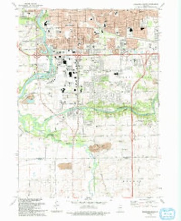
17 topographic sheets cover this place, the earliest surveyed in 1917 and the latest in 1993. It stands in Rockford Township. It lies in ZIP code area 61109. The Survey maps it on the Rockford South quadrangle. 794 people lived here at the 2020 count. It stands 735 feet above sea level.
Population over time
2 figuresNew Milford grew from 697 to 794 between 2010 and 2020. These are the recorded population figures Wikidata holds for this place, reached through the Geographic Names Information System number this page is keyed on rather than by name, so they belong to this place and not to another of the same name. Most are census counts, but not all are: an early figure may be a founding or settlement estimate, and an estimate published within five years of a census is left out. The change column is computed, and is left blank where more than 20 years separate a figure from the one before it, because a gap that long is not a change between two counts.
| Year | People | Change |
|---|---|---|
| 2010 | 697 | |
| 2020 | 794 | +97 (+14%) |
Topographic sheets covering this place
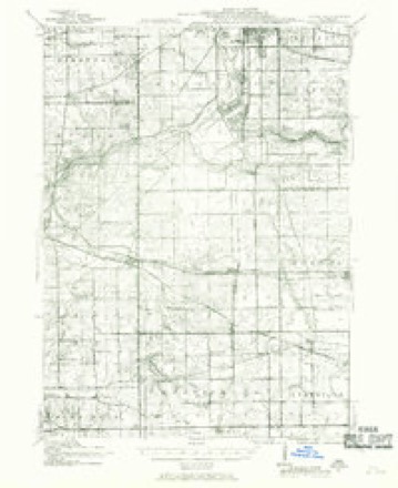
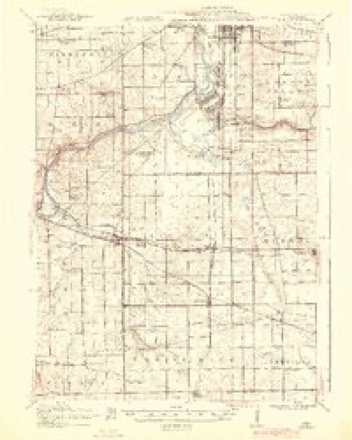
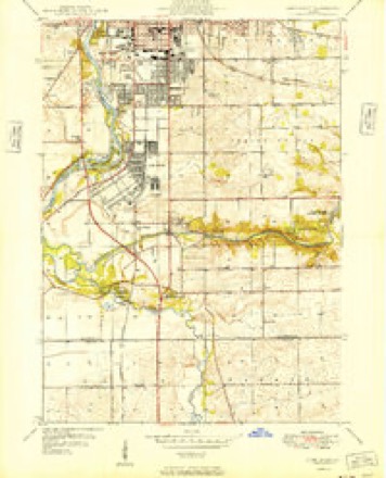
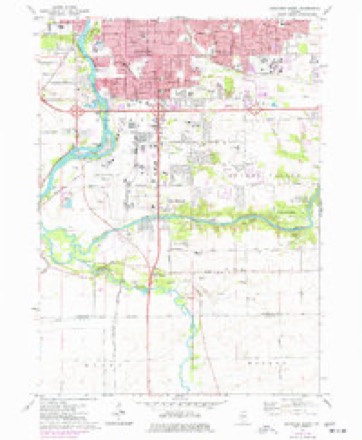
10 surveys from 17 printed sheetsMatched by testing this settlement's coordinate against the published boundary of every sheet in the United States Geological Survey's historical collection. Each opens the scanned sheet at the Survey.
- 1917 USGS Kings quadrangle1:62500
- 1918 USGS Kings quadrangle1:62500, 3 printings
- 1949 USGS Camp Grant quadrangle1:24000
- 1954 USGS Rockford quadrangle1:250000
- 1955 USGS Rockford quadrangle1:250000
- 1958 USGS Rockford quadrangle1:250000, 4 printings
- 1963 USGS Rockford quadrangle1:250000
- 1971 USGS Rockford South quadrangle1:24000, 2 printings
- 1981 USGS Rockford quadrangle1:100000, 2 printings
- 1993 USGS Rockford South quadrangle1:24000





What happened here
An account from the chapter on Rockford township. The inset identifies its exact source book and publication year.
Winnebago Counit Dieectort
ill Putney, Vt., in 1800 ; he emigrated to Chicago in 1832, where he practiced his profession until 1838, when lie came to Rocliford to I'eside; he married Catherine Dunn, in St. Thomas, Canada, in 1822; she died in 1874; Dr. Goodhue was killed from falling into a well, while attending one of his patients, in 1847.
In the county-history sources
166,475 words on this townshipThe History of Winnebago County, Illinois : Its Past and Present, Containing ... a Biographical Directory of Its Citizens, War Record of Its Volunteers in the Late Rebellion, General and Local Statistics ... History of the Northwest, History of Illinois ... Etc, published 1877 names this settlement in its chapter on Rockford Township. These are the passages that mention it, exactly as the scans read.
L.OCj}UE WJH. Undertaker, 502 E. State St. ; resides 409 Sixth st. ; born in Manchester, Eng., Oct. 14, 1820; came to Patterson, N. J., June 7, 1847; remained there two years, and then moved to Chicago, where he lived four years, and moved to Rockford in April, 1853 ; he is a cabinet maker by trade ; has been engaged in the business of Undertaking here 16 years; married Jane Aspden, in England; have five children living; lost two; Mr. and Mrs. L. are Protestant in religion.
Passage source: The History of Winnebago County, Illinois : Its Past and Present, Containing ... a Biographical Directory of Its Citizens, War Record of Its Volunteers in the Late Rebellion, General and Local Statistics ... History of the Northwest, History of Illinois ... Etc, published 1877.
McAFFKE WM. D. Physician and Surgeon, 106 W. State st. ; resides at same number; born in Towanda, Pa., May 26, 1838; came to Mt. Carroll, 111., in 1858; removed to Rockford in the spring of 1867 ; married F. Viola Seymour ; she was born in this State ; the doctor is a graduate of the Homeopathic Medical College of Pennsylvania, at Philadelphia, class of 1861 ; during the rebellion he served about one year as Quarter Master, and acted as physician and surgeon in the Army of the Tennessee ; the Dr. and his wife are members ot the Church of The Christian Union.
Passage source: The History of Winnebago County, Illinois : Its Past and Present, Containing ... a Biographical Directory of Its Citizens, War Record of Its Volunteers in the Late Rebellion, General and Local Statistics ... History of the Northwest, History of Illinois ... Etc, published 1877.
1001 Corbin. Carter Wm. r 1001 Corbin. Cary Julius, r 1204 Montague ;'.w s. Case Wilson C. carp ; bds City Hotel. Cash Frank, lab ; r 504 Longwood. Castner David, machinist ; r 409 S. Main ; w s. Castner Theodoi-e, r 409 S. Main; w s. Catlin Dr. A. M. physician; r 401 Gregory. Catlin F. H. grocer; r 911 First av; e s. Caulfield Timothy, lab; r 818 Benton; e s. Caulquist John A. employe Johnson & Minzinger; r 111 S. Main; e s. Cavanaugh Chas. blacksmith; r806 Fifth av. Cavanaugh John, soap maker ; r 806 Fifth av. Cavanaugh Matthew, lab; r 917 Pecatonica. Cavanaugh Wm. blacksmith ; r 806 Fifth av. Cavel Walter, elk; r 209 S. West; w s. Chadwick Reuben, carp ; r 305 Court ; e s. Chad wick Willis, r 805 Court; e s. Challander R. J. bds 408 Kishwaukee; e s. Chalmers Robt. r 912 Rock; s s. Chalmers Wm. bolt-maker; r 201 Kent; s s^, Chamberlain A. A. employe J. B. Marsh &
Passage source: The History of Winnebago County, Illinois : Its Past and Present, Containing ... a Biographical Directory of Its Citizens, War Record of Its Volunteers in the Late Rebellion, General and Local Statistics ... History of the Northwest, History of Illinois ... Etc, published 1877.
Machine-read from a century-old scan, so expect the errors a machine makes: misspelled names, dropped words, stray characters.
Read the whole chapter on Rockford Township - it names this place 5 more 5 times.
Fires near this place
3 since 2017Regional context, not property-specific evidence. The federal wildfire occurrence database lists 3 fires within 5 miles of New Milford between 2017 and 2019, burning about 4 acres in total. None started naturally. None was recorded as arson. Distance is straight-line from the map coordinates, so a fire counted here may appear on a neighbouring settlement's page as well.
| Reported cause | Fires |
|---|---|
| Debris and open burning | 2 |
| Missing data/not specified/undetermined | 1 |
The most recent of them, most recent first, with the day each was reported and the service that recorded it.
| Date | Cause | Size | Reported by | Name on the report |
|---|---|---|---|---|
| 22 April 2019 | Debris and open burning | 2.0 acres | Illinois Division of Forestry Resources | 2019201 |
| 11 March 2018 | Debris and open burning | 1.0 acres | Illinois Division of Forestry Resources | 2018-176 |
| 3 February 2017 | Missing data/not specified/undetermined | under an acre | Illinois Division of Forestry Resources | 1700059/1700061 |
Settlements close enough to share some of these fires:
Mines and quarries near this place
10 of 17 shownRegional context, not property-specific evidence. The federal mineral resources record lists 17 workings within 5 miles of New Milford: 12 past producers, 4 producers, 1 plant. 5 still produce. What was taken out: Stone, Crushed/Broken, Sand and Gravel, Construction. Distance is straight-line from the map coordinates, so a quarry counted here may appear on a neighbouring settlement's page as well.
| Where | Site | Commodity | Status | Recorded |
|---|---|---|---|---|
| Airport Pit Dredge & Wash Plant | Sand and Gravel, Construction | Producer | ||
| Hoogie Pit | Sand and Gravel, Construction | Past Producer | ||
| Rockview Pit | Sand and Gravel, Construction | Past Producer | ||
| Sahlstrom Sand & Gravel | Sand and Gravel, Construction | Past Producer | ||
| South Main Sand & Gravel Pit | Sand and Gravel, Construction | Producer | ||
| Winquist Pit Rein, Schultz & Dahl | Sand and Gravel, Construction | Past Producer | ||
| Gantzer Quarry | Stone, Crushed/Broken | Past Producer | ||
| Mill Package 1978 | Stone, Crushed/Broken | Plant | ||
| Pagel Pit | Stone, Crushed/Broken | Past Producer | ||
| R. Mcgee Quarry | Stone, Crushed/Broken | Past Producer |
Storms near this place
16 since 2002Regional context, not property-specific evidence. The National Weather Service names New Milford in 16 storm reports between 2002 and 2025: 9 thunderstorm wind, 4 hail, 2 tornado, 1 flood. No death or injury is recorded in these reports. Each account below is quoted exactly as the forecast office filed it, from the NOAA Storm Events Database, and each date opens the federal record of that event.
| When | Event | Place named | Harm | What the report says |
|---|---|---|---|---|
| May 2011 | Thunderstorm Wind | New Milford | $50,000 | A large tree was blown down onto a building near Route 251 and New Milford School Road. A nearby building suffered significant damage when a 50 foot ash tree fell onto the building. |
| July 2025 | Flood | New Milford | - | Running water was reported over Edson Road north of Monroe Center. |
| July 2024 | Tornado (EF0) | New Milford | - | A brief tornado with estimated peak winds of 80 mph touched down southeast of the intersection of Bend Road and Baxter Road, moved northeast crossing Baxter Road and ended just northeast of Baxter Road. Photos and videos of a funnel cloud looking south southwest from the east side of Rockford and looking west from near Interstate 39 and Baxter Road lined up with drone footage of tree damage along the path of this brief tornado. Tree limbs were blown down in various directions and onto power lines. |
| March 2023 | Tornado (EF1) | New Milford | - | This tornado had crossed into Winnebago County from Ogle County in the far south side of Rockford along Edson Rd just west of S Mulford Rd. While in Winnebago County, the tornado caused generally EF-0 damage to farmland. The tornado had done mostly EF-0 damage while in Ogle County with one instance of EF-1 damage done to a home. The storm then crossed into Boone County south of Cherry Valley where it would later cause the partial roof collapse of the Apollo Theatre in Belvidere resulting in one fatality and 40 injuries. |
| August 2021 | Thunderstorm Wind | New Milford | - | Trees were blown down in the Cherokee Hills neighborhood of New Milford. |
| April 2020 | Hail | New Milford | - | Hail 2 inches in diameter was reported near Interstate 39. |
| June 2019 | Thunderstorm Wind | New Milford | - | A tree was blown down near Baxter Road and Route 251. |
| August 2018 | Thunderstorm Wind | New Milford | - | Numerous six inch diameter tree limbs were blown down along Blackhawk Road between Route 251 and Mulford Road. |
| August 2018 | Thunderstorm Wind | New Milford | - | A tree was blown down on Baxter Road between Route 251 and Rydburg Road. |
| April 2014 | Thunderstorm Wind | New Milford | - | Trees were blown down across roads just south of the city in unincorporated Rockford. |
| May 2010 | Thunderstorm Wind | New Milford | - | A large tree was blown down along South Bend Road. |
| June 2009 | Thunderstorm Wind | New Milford | - | Wind gusts were estimated to 60 mph. |
| August 2008 | Thunderstorm Wind | New Milford | - | A one foot diameter tree was blown down across Route 251. |
| April 2020 | Hail | New Milford | - | no account filed |
| April 2004 | Hail | New Milford | - | no account filed |
| April 2002 | Hail | New Milford | - | no account filed |
Nearest settlements
The eight closest, with where each one stands in the county. Distances are straight-line, computed from the Geographic Names Information System coordinates.
| Map | Place | Distance | Sheets |
|---|---|---|---|
| Greenridge Estates | 0.7 miles | 17 | |
| Mancuso Village Park | 0.8 miles | 17 | |
| Atwood Park Estates | 0.9 miles | 17 | |
| Atwood Estates | 1.0 miles | 17 | |
| Morristown | 1.0 miles | 17 | |
| Canyon Ridge | 1.1 miles | 17 | |
| Blackcrest | 1.2 miles | 17 | |
| Maywood Manor | 1.4 miles | 17 |
Elsewhere
Matched on this settlement's Geographic Names Information System number rather than its name, so it cannot be a different place of the same name in another state.
| Wikipedia article on New Milford | An encyclopaedic summary. Its text is share-alike, so it is linked here rather than copied. |
| Wikidata item Q2205149 | The structured record the population and elevation above come from. Public domain (CC0). |
Provenance
This settlement is recorded in the Geographic Names Information System as feature 414448. The sheet list is computed by point-in-boundary test against the United States Geological Survey's historical topographic inventory. Both are works of the United States government and carry no copyright under 17 U.S.C. 105.
Wildfire. Short, Karen C. 2022. Spatial wildfire occurrence data for the United States, 1992-2020 [FPA_FOD_20221014]. 6th Edition. Fort Collins, CO: Forest Service Research Data Archive. https://doi.org/10.2737/RDS-2013-0009.6 Collected with United States Government funding and usable without additional permissions or fees.
Mines and quarries. USGS Mineral Resources Data System (MRDS) https://mrdata.usgs.gov/mrds/ A work of the United States government, no copyright under 17 U.S.C. 105.
Storms. NOAA National Centers for Environmental Information, Storm Events Database https://www.ncei.noaa.gov/stormevents/ A work of the United States government, no copyright under 17 U.S.C. 105. Narratives are quoted verbatim from the National Weather Service report and are not edited or summarised.