 Block
New Philadelphia, Illinois
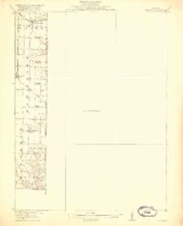
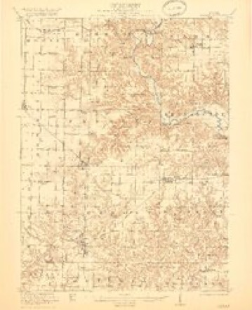
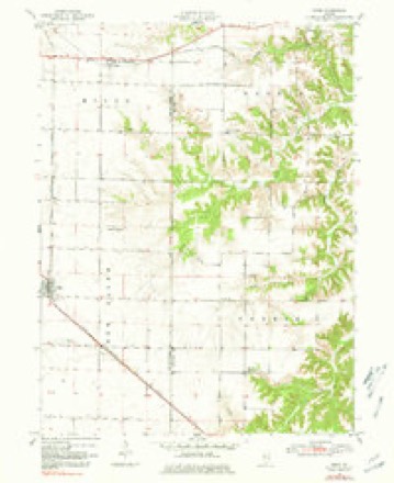
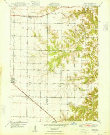
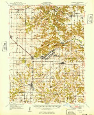
18 topographic sheets cover this place, the earliest surveyed in 1918 and the latest in 1990. It stands in Mound Township. It lies in ZIP code area 61459. It lies near Dyers Mound. The Survey maps it on the Adair quadrangle.
Topographic sheets covering this place
11 surveys from 18 printed sheetsMatched by testing this settlement's coordinate against the published boundary of every sheet in the United States Geological Survey's historical collection. Each opens the scanned sheet at the Survey.
- 1918 USGS Vermont quadrangle1:62500, 2 printings
- 1921 USGS Vermont quadrangle1:62500, 2 printings
- 1947 USGS Adair quadrangle1:24000
- 1948 USGS Adair quadrangle1:24000
- 1949 USGS Vermont quadrangle1:62500, 2 printings
- 1958 USGS Burlington quadrangle1:250000, 4 printings
- 1961 USGS Burlington quadrangle1:250000
- 1963 USGS Burlington quadrangle1:250000
- 1985 USGS Macomb quadrangle1:100000
- 1989 USGS Macomb quadrangle1:100000
- 1990 USGS Burlington quadrangle1:250000, 2 printings




Storms near this place
8 since 2008Regional context, not property-specific evidence. The National Weather Service names New Philadelphia in 8 storm reports between 2008 and 2023: 4 thunderstorm wind, 2 hail, 1 tornado, 1 flash flood. No death or injury is recorded in these reports. Each account below is quoted exactly as the forecast office filed it, from the NOAA Storm Events Database, and each date opens the federal record of that event.
| When | Event | Place named | Harm | What the report says |
|---|---|---|---|---|
| July 2017 | Thunderstorm Wind | New Philadelphia | $2,000 | A trained spotter reported several power lines, one large tree, and a large antique windmill down were blown down. |
| August 2023 | Hail | New Philadelphia | - | Broadcast Media relayed a report of quarter to ping pong ball sized hail. The time of the event was estimated using radar. |
| June 2019 | Thunderstorm Wind | New Philadelphia | - | A storm chaser estimated thunderstorm wind gusts around 60 MPH. |
| July 2019 | Flash Flood | New Philadelphia | - | Law Enforcement reported water over the intersection of Highway 41 and 95. The water was too high for the deputy to drive through the intersection. |
| November 2010 | Thunderstorm Wind | New Philadelphia | - | Law enforcement reported trees and power lines down 2 miles southwest of New Philadelphia. Winds were estimated at over 70 mph. |
| July 2008 | Thunderstorm Wind | New Philadelphia | - | Wind gusts estimated to be 70 mph were observed 3 miles southeast of Bardolph, IL at 828 pm July 21. |
| December 2008 | Tornado (EF0) | New Philadelphia | - | A brief tornado touchdown occurred at about 1120 am CST 1/3 mile east of New Philadelphia near Highway 95. The EF0 tornado, about 50 yards in width, struck a garage tearing the roof off and blowing the back of the garage away. The debris littered a nearby field for up to 1/3 mile from where the garage had been. A person in the garage at the time was not injured, but described being blasted with a terrific wind filled with grass and leaves. The person also stated the event was over as fast as it had started. The temperature at the time of the tornado was 61F which was unseasonably warm for the end of December. Winds were estimated at 80 mph. |
| November 2013 | Hail | New Philadelphia | - | no account filed |
Nearest settlements
The eight closest, with where each one stands in the county. Distances are straight-line, computed from the Geographic Names Information System coordinates.
| Map | Place | Distance | Sheets |
|---|---|---|---|
| Bushnell | 4.7 miles | 16 | |
| Bardolph | 4.9 miles | 16 | |
| Adair | 5.0 miles | 18 | |
| Shoo Fly | 5.1 miles | 18 | |
| Scottsburg | 7.8 miles | 16 | |
| Pennington Point | 7.9 miles | 16 | |
| Prairie City | 9.1 miles | 16 | |
| Walnut Grove | 9.9 miles | 16 |
Provenance
This settlement is recorded in the Geographic Names Information System as feature 414451. The sheet list is computed by point-in-boundary test against the United States Geological Survey's historical topographic inventory. Both are works of the United States government and carry no copyright under 17 U.S.C. 105.
Storms. NOAA National Centers for Environmental Information, Storm Events Database https://www.ncei.noaa.gov/stormevents/ A work of the United States government, no copyright under 17 U.S.C. 105. Narratives are quoted verbatim from the National Weather Service report and are not edited or summarised.