 Block
Nokomis, Illinois
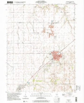
12 topographic sheets cover this place, the earliest surveyed in 1946 and the latest in 1998. It stands in Nokomis Township. It lies in ZIP code area 62075. The Survey maps it on the Nokomis quadrangle. 2,142 people lived here at the 2020 count. It stands 673 feet above sea level.
Population over time
2 figuresNokomis fell from 2,256 to 2,142 between 2010 and 2020. These are the recorded population figures Wikidata holds for this place, reached through the Geographic Names Information System number this page is keyed on rather than by name, so they belong to this place and not to another of the same name. Most are census counts, but not all are: an early figure may be a founding or settlement estimate, and an estimate published within five years of a census is left out. The change column is computed, and is left blank where more than 20 years separate a figure from the one before it, because a gap that long is not a change between two counts.
| Year | People | Change |
|---|---|---|
| 2010 | 2,256 | |
| 2020 | 2,142 | -114 (-5%) |
Topographic sheets covering this place
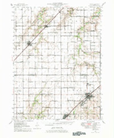
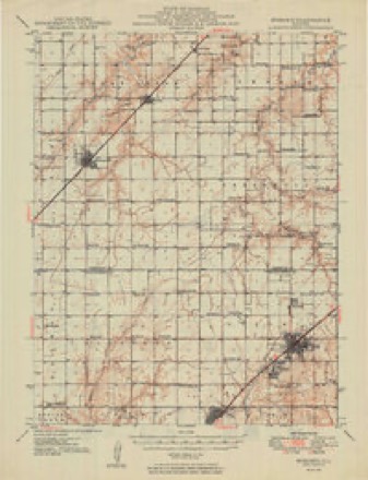
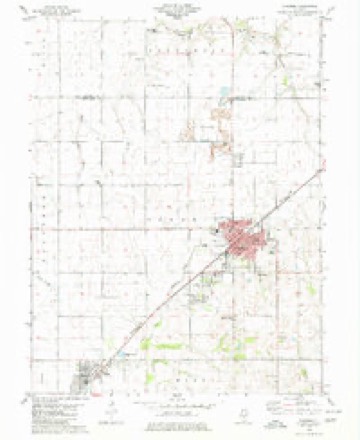
7 surveys from 12 printed sheetsMatched by testing this settlement's coordinate against the published boundary of every sheet in the United States Geological Survey's historical collection. Each opens the scanned sheet at the Survey.
- 1946 USGS Nokomis quadrangle1:62500, 2 printings
- 1949 USGS Nokomis quadrangle1:62500, 2 printings
- 1958 USGS Decatur quadrangle1:250000, 3 printings
- 1961 USGS Decatur quadrangle1:250000, 2 printings
- 1980 USGS Nokomis quadrangle1:24000
- 1982 USGS Litchfield quadrangle1:100000
- 1998 USGS Nokomis quadrangle1:24000


Mines and quarries near this place
5 within 5 milesRegional context, not property-specific evidence. The federal mineral resources record lists 5 workings within 5 miles of Nokomis: 4 producers, 1 past producer. 4 still produce. What was taken out: Stone, Crushed/Broken. Distance is straight-line from the map coordinates, so a quarry counted here may appear on a neighbouring settlement's page as well.
| Where | Site | Commodity | Status | Recorded |
|---|---|---|---|---|
| Central Ill. Stone Quarry and Mill | Stone, Crushed/Broken | Producer | ||
| Msc Yard #15. | Stone, Crushed/Broken | Producer | ||
| Nokomis Quarry and Mill | Stone, Crushed/Broken | Producer | ||
| Tri-City Christian Quarry No. 1 | Stone, Crushed/Broken | Past Producer | ||
| Tri-County Stone Company Quarry | Stone, Crushed/Broken | Producer |
Storms near this place
34 since 1994Regional context, not property-specific evidence. The National Weather Service names Nokomis in 34 storm reports between 1994 and 2026: 18 thunderstorm wind, 13 hail, 3 tornado. The reports record 1 injury. Each account below is quoted exactly as the forecast office filed it, from the NOAA Storm Events Database, and each date opens the federal record of that event.
| When | Event | Place named | Harm | What the report says |
|---|---|---|---|---|
| July 2017 | Thunderstorm Wind | Nokomis | 1 hurt | Thunderstorm winds blew over an occupied mobile home. The occupant sustained minor injuries. Also, numerous trees, tree limbs and power lines were blown down. A couple of trees fell onto homes causing minor to moderate damage around town. |
| May 1995 | Tornado (F1) | Nokomis | $8,200 | A tornado struck three farms briefly just east of Nokomis doing significant damage to several outbuildings. One farm lost a machine shed and a grain bin. Homes on the farms suffered superficial roof damage. The tornado was only on the ground for a few minutes. |
| August 2021 | Thunderstorm Wind | Nokomis | $5,000 | Several trees were snapped off in town. |
| December 2021 | Thunderstorm Wind | Nokomis | $1,000 | Thunderstorm winds blew down a large tree in town. |
| March 2026 | Tornado (EF1) | Nokomis | - | A tornado touched down on the east side of Nokomis where it produced tree damage before exiting town to the northeast. The tornado tracked along State Route 16 past Ohlman, collapsing older farm outbuildings and lofting the debris well to the northeast. The tornado then continued into Christian County (ILX). |
| July 2025 | Thunderstorm Wind | Nokomis | - | Thunderstorm winds knocked multiple trees onto power lines in Nokomis. |
| May 2021 | Thunderstorm Wind | Nokomis | - | Thunderstorm winds blew down a partially dead tree in Nokomis. Also, several large tree limbs were blown down 3 miles east of Nokomis. |
| May 2019 | Thunderstorm Wind | Nokomis | - | Thunderstorm winds blew down a large tree onto the corner of a house on Cedar Street causing minor damage. |
| June 2018 | Thunderstorm Wind | Nokomis | - | Thunderstorm winds blew down a power pole in town. |
| February 2014 | Tornado (EF1) | Nokomis | - | The tornado touched down 4 miles south southeast of Nokomis at the intersection of E 25th Road and Mt. Zion Trail. In this location it took a large section of shingles off of a garage roof and twisted the entire structure slightly off its foundation. A little further to the northeast it took a large section of roof off of a barn. Some of the metal panels from the roof were thrown about half a mile to the northeast of the structure. Just northeast of the barn, a double trussed metal transmission tower was blown down. Damage in this area was rated EF1. The tornado continued to the northeast. Just north of the intersection of Oconee Avenue and E 28th Road, a two foot diameter oak tree was uprooted. Also, in this location there was a 50 yard wide path of major tree damage. Several trees were uprooted on the west side of Litz Road, about six tenths of a mile north of the intersection of Litz Road and CR 2050N. From there the tornado continued to the northeast and crossed into Shelby County (WFO Lincolns county warning area), about a third of a mile south of the intersection of E 30th Road and N 22nd Avenue. For Montgomery County portion of the tornado, the maximum intensity was EF1 with a max wind speed of 100 mph. The path length of this segment was 6.3 miles and a max width of 50 yards. Overall the maximum intensity was EF2 (in Shelby County about 3.5 miles north northwest of Tower Hill). The total path length was 22.2 miles with a max path width of 200 yards. |
| November 2013 | Thunderstorm Wind | Nokomis | - | Thunderstorm winds caused moderate damage to several homes in Nokomis. Also, several homes sustained minor siding damage. |
| August 2012 | Thunderstorm Wind | Nokomis | - | A line of severe storms moved southeast through Montgomery County. Numerous tree limbs and a few power lines were blown down in Nokomis and Irving. |
| May 2011 | Thunderstorm Wind | Nokomis | - | Thunderstorm winds blew down several trees and power lines as well as numerous large tree limbs around town. |
| May 2006 | Thunderstorm Wind | Nokomis | - | Numerous large tree limbs and whole trees were blown over on the north side of Nokomis. |
| July 2004 | Hail | Nokomis | - | Storm spotters reported nickel size hail in Nokomis. |
| July 2002 | Thunderstorm Wind | Nokomis | - | The County Sheriff reported 1 square mile of corn flattened by thunderstorm wind gusts. |
| September 2000 | Hail | Nokomis | - | Storm spotters reported golfball size hail northwest of Nokomis. |
| April 1994 | Thunderstorm Wind | Nokomis | - | Thunderstorm winds blew a tree down onto a garage causing moderate damage. Also, the winds blew down several power lines in Nokomis. |
| May 2023 | Hail | Nokomis | - | no account filed |
| April 2013 | Hail | Nokomis | - | no account filed |
| March 2012 | Hail | Nokomis | - | no account filed |
| April 2011 | Hail | Nokomis | - | no account filed |
| May 2011 | Hail | Nokomis | - | no account filed |
| October 2007 | Hail | Nokomis | - | no account filed |
| July 2006 | Hail | Nokomis | - | no account filed |
| March 2005 | Hail | Nokomis | - | no account filed |
| June 2005 | Thunderstorm Wind | Nokomis | - | no account filed |
| May 2004 | Thunderstorm Wind | Nokomis | - | no account filed |
| May 2004 | Thunderstorm Wind | Nokomis | - | no account filed |
| May 2004 | Thunderstorm Wind | Nokomis | - | no account filed |
| April 2002 | Hail | Nokomis | - | no account filed |
| April 2002 | Hail | Nokomis | - | no account filed |
| May 1998 | Hail | Nokomis | - | no account filed |
| January 1996 | Thunderstorm Wind | Nokomis | - | no account filed |
Nearest settlements
The eight closest, with where each one stands in the county. Distances are straight-line, computed from the Geographic Names Information System coordinates.
Elsewhere
Matched on this settlement's Geographic Names Information System number rather than its name, so it cannot be a different place of the same name in another state.
| Wikipedia article on Nokomis | An encyclopaedic summary. Its text is share-alike, so it is linked here rather than copied. |
| Wikidata item Q575613 | The structured record the population and elevation above come from. Public domain (CC0). |
Provenance
This settlement is recorded in the Geographic Names Information System as feature 414545. The sheet list is computed by point-in-boundary test against the United States Geological Survey's historical topographic inventory. Both are works of the United States government and carry no copyright under 17 U.S.C. 105.
Mines and quarries. USGS Mineral Resources Data System (MRDS) https://mrdata.usgs.gov/mrds/ A work of the United States government, no copyright under 17 U.S.C. 105.
Storms. NOAA National Centers for Environmental Information, Storm Events Database https://www.ncei.noaa.gov/stormevents/ A work of the United States government, no copyright under 17 U.S.C. 105. Narratives are quoted verbatim from the National Weather Service report and are not edited or summarised.