 Block
Ogden, Illinois
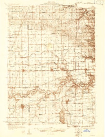
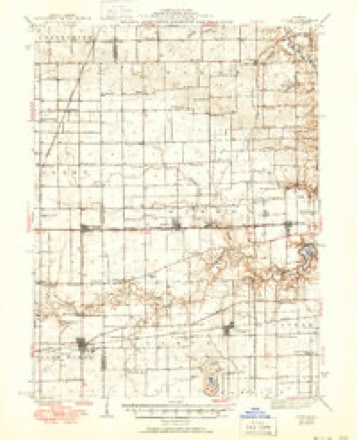
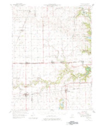
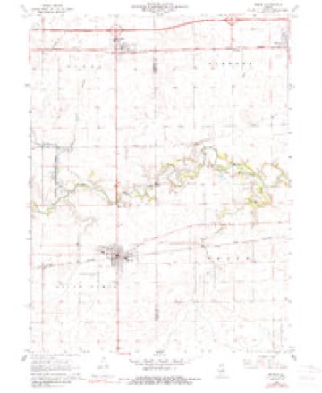
15 topographic sheets cover this place, the earliest surveyed in 1931 and the latest in 1987. It stands in Ogden Township. It lies in ZIP code area 61859. The Survey maps it on the Homer quadrangle. 729 people lived here at the 2020 count. It stands 671 feet above sea level.
Population over time
2 figuresOgden fell from 810 to 729 between 2010 and 2020. These are the recorded population figures Wikidata holds for this place, reached through the Geographic Names Information System number this page is keyed on rather than by name, so they belong to this place and not to another of the same name. Most are census counts, but not all are: an early figure may be a founding or settlement estimate, and an estimate published within five years of a census is left out. The change column is computed, and is left blank where more than 20 years separate a figure from the one before it, because a gap that long is not a change between two counts.
| Year | People | Change |
|---|---|---|
| 2010 | 810 | |
| 2020 | 729 | -81 (-10%) |
Topographic sheets covering this place
9 surveys from 15 printed sheetsMatched by testing this settlement's coordinate against the published boundary of every sheet in the United States Geological Survey's historical collection. Each opens the scanned sheet at the Survey.
- 1931 USGS Fithian quadrangle1:48000
- 1943 USGS Fithian quadrangle1:62500, 2 printings
- 1953 USGS Danville quadrangle1:250000, 3 printings
- 1955 USGS Danville quadrangle1:250000
- 1956 USGS Danville quadrangle1:250000
- 1957 USGS Fithian quadrangle1:62500, 3 printings
- 1968 USGS Homer quadrangle1:24000, 2 printings
- 1984 USGS Danville quadrangle1:100000
- 1987 USGS Danville quadrangle1:100000





In the county-history sources
900 words on this townshipEarly History and Pioneers of Champaign County : Illustrated by One Hundred and Fifteen Superb Engravings by Melville : Containing Biographical Sketches of the Early Settlers, the Early History of the County Obtained from the Most Reliable Sources and Many Graphic Scenes and Incidents from the Bright and Shady Sides of Pioneer Life, published 1891 names this settlement in its chapter on Ogden Township. These are the passages that mention it, exactly as the scans read.
Ogden township is situated in the extreme eastern part of the county, and is soaiewhat irregular in shape, being 10-^ miles long from north to soutii. and 3-i mUes wide from east to west The first survey was made in 1821 by James Thompson, deputy surveyor, and the organization of the township was effected in ISTS. The first settlement was made iu Hickory Grove by Hiram Rankin, who soon after moved to St. Joseph. The next settlement was made in Burr Oak Grove. Ln the northern part of the township. Garrett Moore, who was among the earliest men to make improvements in Ogden township was the first constable in Champaign county. The Richards, Freemans and the FLrebaughs are all familiar names among the old settlers. The first supervisor was E N. Miles. Eleazer Freeman is at present supervisor.
Machine-read from a century-old scan, so expect the errors a machine makes: misspelled names, dropped words, stray characters.
Storms near this place
16 since 1996Regional context, not property-specific evidence. The National Weather Service names Ogden in 16 storm reports between 1996 and 2023: 7 thunderstorm wind, 5 hail, 2 tornado, 2 lightning. The reports record 1 death and 13 injuries. Each account below is quoted exactly as the forecast office filed it, from the NOAA Storm Events Database, and each date opens the federal record of that event.
| When | Event | Place named | Harm | What the report says |
|---|---|---|---|---|
| April 1996 | Tornado (F3) | Ogden | 1 killed, 13 hurt | no account filed |
| July 2013 | Lightning | Ogden | $100,000 | Lightning struck a house in Ogden. The house was destroyed by the resulting fire. |
| June 2010 | Lightning | Ogden | $50,000 | Lightning struck an antenna attached to a garage in the village of Ogden. The fire engulfed the garage and spread to the attic of the house. There were no injuries to the occupants of the house. |
| June 2015 | Thunderstorm Wind | Ogden | $45,000 | Several trees and power lines were blown down in Ogden. |
| October 2007 | Thunderstorm Wind | Ogden | $31,000 | Numerous tree limbs and power lines were blown down.| |
| May 2011 | Thunderstorm Wind | Ogden | $30,000 | Two semi trucks were blown over on I-74 between mile markers 194 and 195. |
| June 2010 | Thunderstorm Wind | Ogden | $8,000 | Several two-inch diameter tree limbs were blown down. |
| June 2023 | Thunderstorm Wind | Ogden | - | A 14-inch diameter tree was blown down. |
| June 2023 | Thunderstorm Wind | Ogden | - | A tree was blown down in Ogden. |
| December 2021 | Thunderstorm Wind | Ogden | - | A machine shed was destroyed. |
| August 2001 | Tornado (F0) | Ogden | - | A tornado briefly touched down in a field. No damage or injuries were reported. |
| June 2023 | Hail | Ogden | - | no account filed |
| April 2013 | Hail | Ogden | - | no account filed |
| April 2007 | Hail | Ogden | - | no account filed |
| July 2004 | Hail | Ogden | - | no account filed |
| June 2003 | Hail | Ogden | - | no account filed |
Nearest settlements
The eight closest, with where each one stands in the county. Distances are straight-line, computed from the Geographic Names Information System coordinates.
| Map | Place | Distance | Sheets |
|---|---|---|---|
| State Road | 2.6 miles | 15 | |
| Pauline | 2.8 miles | 20 | |
| Glover | 3.3 miles | 19 | |
| Saint Joseph | 4.5 miles | 19 | |
| Tipton | 5.2 miles | 19 | |
| Homer | 5.5 miles | 15 | |
| Royal | 5.5 miles | 14 | |
| Fulls | 7.1 miles | 19 |
Elsewhere
Matched on this settlement's Geographic Names Information System number rather than its name, so it cannot be a different place of the same name in another state.
| Wikipedia article on Ogden | An encyclopaedic summary. Its text is share-alike, so it is linked here rather than copied. |
| Wikidata item Q749419 | The structured record the population and elevation above come from. Public domain (CC0). |
Provenance
This settlement is recorded in the Geographic Names Information System as feature 414959. The sheet list is computed by point-in-boundary test against the United States Geological Survey's historical topographic inventory. Both are works of the United States government and carry no copyright under 17 U.S.C. 105.
Storms. NOAA National Centers for Environmental Information, Storm Events Database https://www.ncei.noaa.gov/stormevents/ A work of the United States government, no copyright under 17 U.S.C. 105. Narratives are quoted verbatim from the National Weather Service report and are not edited or summarised.