 Block
Olmsted, Illinois
25 topographic sheets cover this place, the earliest surveyed in 1931 and the latest in 1987. It stands in Olmsted precinct. It lies in ZIP code area 62970. The Survey maps it on the Olmsted quadrangle. 285 people lived here at the 2020 count. It stands 354 feet above sea level.
Research this city
On record in Olmsted
Buildings and businesses the archive holds for this place. Each opens its own page, with the source record it came from.
On the National Register 1 record
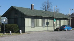 Olmstead Depotlisted 1989
Population over time
2 figuresOlmsted fell from 333 to 285 between 2010 and 2020. These are the recorded population figures Wikidata holds for this place, reached through the Geographic Names Information System number this page is keyed on rather than by name, so they belong to this place and not to another of the same name. Most are census counts, but not all are: an early figure may be a founding or settlement estimate, and an estimate published within five years of a census is left out. The change column is computed, and is left blank where more than 20 years separate a figure from the one before it, because a gap that long is not a change between two counts.
| Year | People | Change |
|---|---|---|
| 2010 | 333 | |
| 2020 | 285 | -48 (-14%) |
Topographic sheets covering this place
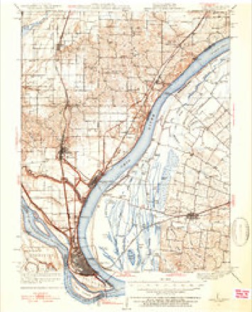
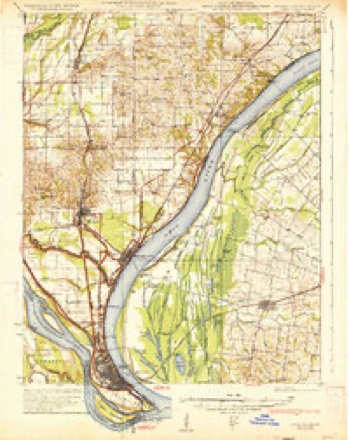
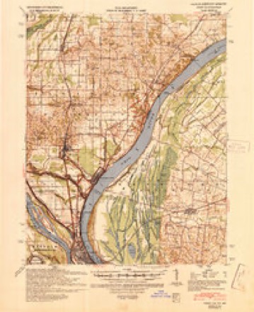
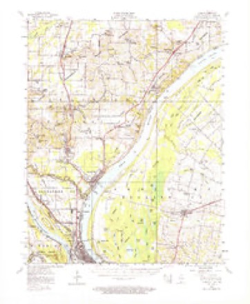
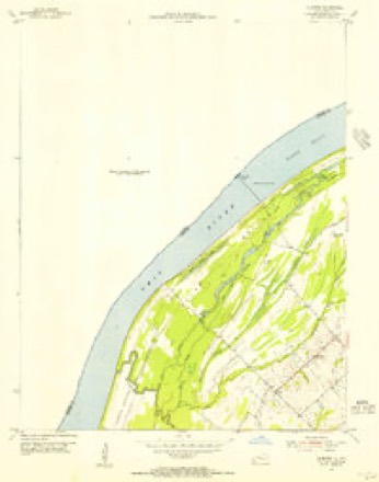
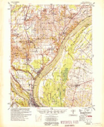
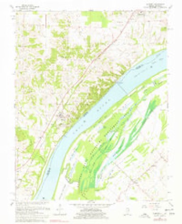
15 surveys from 25 printed sheetsMatched by testing this settlement's coordinate against the published boundary of every sheet in the United States Geological Survey's historical collection. Each opens the scanned sheet at the Survey.
- 1931 USGS Cairo quadrangle1:62500, 2 printings
- 1933 USGS Cairo quadrangle1:62500, 3 printings
- 1939 USGS Cairo quadrangle1:62500
- 1949 USGS Paducah quadrangle1:250000, 2 printings
- 1950 USGS Paducah quadrangle1:250000
- 1953 USGS Cairo quadrangle1:62500, 3 printings
- 1954 USGS Olmsted quadrangle1:24000
- 1954 USGS Paducah quadrangle1:250000, 2 printings
- 1955 USGS Cairo quadrangle1:62500
- 1961 USGS Paducah quadrangle1:250000, 2 printings
- 1964 USGS Paducah quadrangle1:250000, 2 printings
- 1967 USGS Olmsted quadrangle1:24000, 2 printings
- 1984 USGS Cape Girardeau quadrangle1:100000
- 1986 USGS Cape Girardeau quadrangle1:100000
- 1987 USGS Paducah quadrangle1:250000






Mines and quarries near this place
1 within 5 milesRegional context, not property-specific evidence. The federal mineral resources record lists 1 working within 5 miles of Olmsted: 1 producer. All of them still produce. What was taken out: Clay. Distance is straight-line from the map coordinates, so a quarry counted here may appear on a neighbouring settlement's page as well.
| Where | Site | Commodity | Status | Recorded |
|---|---|---|---|---|
| Southern Clay, Inc. Pit | Clay | Producer |
Storms near this place
51 since 1995Regional context, not property-specific evidence. The National Weather Service names Olmsted in 51 storm reports between 1995 and 2025: 40 flood, 6 hail, 3 thunderstorm wind, 2 flash flood. No death or injury is recorded in these reports. Each account below is quoted exactly as the forecast office filed it, from the NOAA Storm Events Database, and each date opens the federal record of that event.
| When | Event | Place named | Harm | What the report says |
|---|---|---|---|---|
| March 2018 | Flood | Olmsted | $100,000 | Major flooding continued on the Ohio River from late February. At the Grand Chain river gage, the river crested on March 2 at 57.3 feet. This was the fifth highest stage on record, and it was exactly one-half foot below the flood crest of March, 1997. Flood stage is 42 feet. Numerous county roads were closed near the river. Widespread flooding of low-lying farmland occurred. Most of the farmland was still unplanted. |
| March 2011 | Flood | Olmsted | $100,000 | no account filed |
| January 2016 | Flood | Olmsted | $50,000 | Major flooding of the Ohio River continued into January. At the Grand Chain river gage, the river crested at 55.4 feet on the 3rd. Flood stage there is 42 feet. This flood was very similar to the flood of May, 1995, when the crest was 55.1 feet. Flood stage there is 42 feet. There was widespread flooding of low-lying fields, and a number of secondary roads were flooded. |
| April 2011 | Thunderstorm Wind | Olmsted | $30,000 | The roof was blown off an old barn. A small shed was tossed around. |
| July 2001 | Flash Flood | Olmsted | $25,000 | Slow-moving thunderstorms dumped torrential rains over Pulaski County. An engineer with the county highway department measured 3.5 inches of rain during the early morning hours. Rushing floodwater blocked Illinois Route 37 in two places for more than 4 hours near Olmsted and just south of America Road. An Olmsted convenience store was flooded by 5 inches of water. More than 20 county roads were closed. Four culverts were washed away by erosion and fast-moving debris. The hardest hit areas were in the central parts of the county, between New Grand Chain and America. Heavy rain damaged the roof of the Olmsted library and leaked into the building, damaging books. |
| March 2025 | Thunderstorm Wind | Olmsted | $20,000 | A few power poles were snapped near Olmsted. |
| May 2013 | Flood | Olmsted | $20,000 | Continuing from April into May, moderate flooding occurred on the Ohio River. At the Grand Chain river gage, the river crested at 49.8 feet on the morning of the 9th. This was about 8 feet over the flood stage of 42 feet. There was considerable flooding of low-lying fields and woodlands near the river. Park land and some river access roads were under water. |
| April 2023 | Thunderstorm Wind | Olmsted | $2,000 | Several tree limbs were down around the town of Olmsted. |
| April 2013 | Flood | Olmsted | $2,000 | Minor flooding occurred along the Ohio River near Grand Chain, affecting low-lying fields, woods, and river access roads. The river continued rising into early May. |
| March 2016 | Flood | Olmsted | $1,000 | Minor flooding continued from February along the Ohio River. There was flooding of low-lying bottomland woods and fields. |
| June 2015 | Flood | Olmsted | $1,000 | Minor flooding occurred along the Ohio River. The flooding inundated mainly agricultural bottomland and low lying areas. The flooding continued into July. |
| December 2011 | Flood | Olmsted | $1,000 | Minor flooding occurred on the Ohio River. At the Grand Chain river gage, the river crested at 46.80 feet on the 15th. Flood stage is 42 feet. Minor flooding of bottomland fields and some park land occurred. A few county roads along the river were affected. River recreation facilities such as boat ramps were affected. |
| February 2025 | Flood | Olmsted | - | Moderate flooding occurred on the Ohio River at the Olmsted Lock and Dam. Low-lying fields and woodlands in the flood plain were underwater, along with some river access roads. The river crested at 42.9 feet, just above the moderate flood stage of 42 feet. The flooding continued into early March. |
| May 2024 | Flood | Olmsted | - | Minor flooding occurred on the Ohio River near Olmsted in low-lying areas. |
| March 2023 | Flood | Olmsted | - | The Ohio River rose above flood stage and caused some minor flooding of low-lying woods and fields. The river remained above flood stage into early April. |
| February 2022 | Flood | Olmsted | - | The Ohio River rose above flood stage and remained there into March. The crest occurred in March. |
| March 2022 | Flood | Olmsted | - | Moderate flooding occurred on the Ohio River. The river crested at 44.10 feet at the Olmsted river gage on the 2nd, which is 8.1 feet above flood stage. Low-lying fields and woodlands in the flood plain were underwater, along with some river access roads. |
| March 2020 | Flood | Olmsted | - | Considerable flooding occurred on the Ohio River. At the Olmsted river gage, the river crested at 47.35 feet on the 31st. Flood stage is 36 feet. Bottomland fields were inundated. A few rural county roads were flooded. The flooding continued into April. |
| January 2020 | Flood | Olmsted | - | Moderate flooding occurred along the Ohio River. The river crested at 43.80 feet on the evening of the 15th at the Olmsted gage. Moderate flooding begins at 42 feet. There was considerable flooding of low-lying fields and woods near the river. |
| May 2017 | Flood | Olmsted | - | An extended period of moderate flooding occurred on the Ohio River. At the Grand Chain river gage, the river crested at 51.2 feet on May 11. Major flooding begins at 53 feet. Low-lying cropland and a nature preserve were flooded, along with some side roads. |
| April 2017 | Flood | Olmsted | - | The Ohio River rose above flood stage. Through the end of April, the flooding was mostly minor. The river continued rising beyond the end of the month. |
| February 2016 | Flood | Olmsted | - | Minor flooding occurred along the Ohio River. There was flooding of low-lying bottomland woods and fields. The river continued rising into March. |
| April 2015 | Flood | Olmsted | - | Minor flooding occurred along the Ohio River. Water reached the power house at Lock and Dam 53. Low-lying areas near the river were under water. |
| December 2015 | Flood | Olmsted | - | The Ohio River began its rise above flood stage late in the month. The flooding in December was relatively insignificant compared to the major flooding in January. In December, there was widespread flooding of low-lying fields and woodlands. Some river access roads were underwater. |
| January 2014 | Flood | Olmsted | - | Minor flooding lingered along the Ohio River through the first couple days of 2014. Low-lying fields and woodlands were flooded. |
| April 2014 | Flood | Olmsted | - | Minor flooding occurred along the Ohio River. Low-lying woods and fields were inundated, including portions of riverside parks and recreation areas. |
| December 2013 | Flood | Olmsted | - | Minor flooding occurred along the Ohio River. Low-lying fields and woodlands were flooded. |
| March 2013 | Flood | Olmsted | - | Minor flooding occurred along the Ohio River at Grand Chain. Some low-lying fields and river access roads were underwater. |
| January 2012 | Flood | Olmsted | - | Minor flooding of low-lying fields occurred along the Ohio River. |
| February 2012 | Flood | Olmsted | - | Minor flooding of low-lying fields occurred along the Ohio River. |
| June 2011 | Flood | Olmsted | - | The Ohio River fell below flood stage at Grand Chain for the first time since February 27. The flooding in June was relatively very minor. Some low-lying fields and woods along the river were flooded. |
| May 2009 | Flood | Olmsted | - | Moderate flooding of the Ohio River occurred. At the Grand Chain gage, where flood stage is 42 feet, the river crested at 51.60 feet on the 12th. Agricultural bottomland and low-lying areas were flooded. Water reached the power house at Lock and Dam 53. |
| April 2008 | Flood | Olmsted | - | Major flooding of the Ohio River occurred. The river remained above flood stage from early March through late April. On the Grand Chain gage, the crest in April was 53.20 feet on the 12th. Flood stage at Grand Chain is 42 feet. Water reached the power house at Lock and Dam 53. Many low-lying areas were flooded, primarily farm fields. Crop damage was still negligible, since the flooding started before planting season. |
| November 2004 | Flash Flood | Olmsted | - | A county road was barricaded due to flooding. |
| June 1995 | Hail | Olmsted | - | The hail covered the ground to a depth of three inches. |
| April 2023 | Flood | Olmsted | - | no account filed |
| April 2023 | Hail | Olmsted | - | no account filed |
| March 2023 | Flood | Olmsted | - | no account filed |
| January 2022 | Flood | Olmsted | - | no account filed |
| May 2020 | Flood | Olmsted | - | no account filed |
| May 2020 | Flood | Olmsted | - | no account filed |
| April 2020 | Flood | Olmsted | - | no account filed |
| June 2020 | Flood | Olmsted | - | no account filed |
| January 2019 | Flood | Olmsted | - | no account filed |
| January 2019 | Flood | Olmsted | - | no account filed |
| February 2019 | Flood | Olmsted | - | no account filed |
| April 2018 | Flood | Olmsted | - | no account filed |
| March 2016 | Hail | Olmsted | - | no account filed |
| March 2008 | Hail | Olmsted | - | no account filed |
| May 2004 | Hail | Olmsted | - | no account filed |
| May 2003 | Hail | Olmsted | - | no account filed |
Nearest settlements
The eight closest, with where each one stands in the county. Distances are straight-line, computed from the Geographic Names Information System coordinates.
| Map | Place | Distance | Sheets |
|---|---|---|---|
| Levings | 2.9 miles | 25 | |
| Pryortown | 3.2 miles | 24 | |
| America | 3.4 miles | 25 | |
| Villa Ridge | 5.8 miles | 24 | |
| Grand Chain | 6.0 miles | 18 | |
| New Grand Chain | 6.1 miles | 18 | |
| Pulaski | 6.6 miles | 24 | |
| Spencer Heights | 6.7 miles | 24 |
Elsewhere
Matched on this settlement's Geographic Names Information System number rather than its name, so it cannot be a different place of the same name in another state.
| Wikipedia article on Olmsted | An encyclopaedic summary. Its text is share-alike, so it is linked here rather than copied. |
| Wikidata item Q2671852 | The structured record the population and elevation above come from. Public domain (CC0). |
Provenance
This settlement is recorded in the Geographic Names Information System as feature 415105. The sheet list is computed by point-in-boundary test against the United States Geological Survey's historical topographic inventory. Both are works of the United States government and carry no copyright under 17 U.S.C. 105.
Mines and quarries. USGS Mineral Resources Data System (MRDS) https://mrdata.usgs.gov/mrds/ A work of the United States government, no copyright under 17 U.S.C. 105.
Storms. NOAA National Centers for Environmental Information, Storm Events Database https://www.ncei.noaa.gov/stormevents/ A work of the United States government, no copyright under 17 U.S.C. 105. Narratives are quoted verbatim from the National Weather Service report and are not edited or summarised.