 Block
Pittwood, Illinois
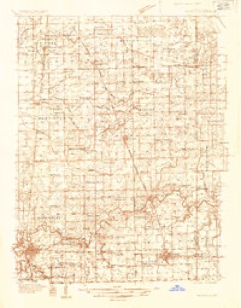
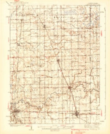
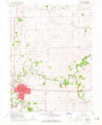
11 topographic sheets cover this place, the earliest surveyed in 1935 and the latest in 1990. It stands in Martinton Township. It lies in ZIP code area 60970. The Survey maps it on the Watseka quadrangle. It stands 643 feet above sea level.
Topographic sheets covering this place
8 surveys from 11 printed sheetsMatched by testing this settlement's coordinate against the published boundary of every sheet in the United States Geological Survey's historical collection. Each opens the scanned sheet at the Survey.
- 1935 USGS Watseka quadrangle1:48000
- 1939 USGS Watseka quadrangle1:62500, 2 printings
- 1953 USGS Danville quadrangle1:250000, 3 printings
- 1955 USGS Danville quadrangle1:250000
- 1956 USGS Danville quadrangle1:250000
- 1964 USGS Watseka quadrangle1:24000
- 1984 USGS Watseka quadrangle1:100000
- 1990 USGS Watseka quadrangle1:100000



Mines and quarries near this place
3 within 5 milesRegional context, not property-specific evidence. The federal mineral resources record lists 3 workings within 5 miles of Pittwood: 3 past producers. None of them still produces. What was taken out: Sand and Gravel, Construction. Distance is straight-line from the map coordinates, so a quarry counted here may appear on a neighbouring settlement's page as well.
| Where | Site | Commodity | Status | Recorded |
|---|---|---|---|---|
| Peters Pit De Lynch | Sand and Gravel, Construction | Past Producer | ||
| Peters Pit Johnwood | Sand and Gravel, Construction | Past Producer | ||
| Peters Pit Wood Trucking | Sand and Gravel, Construction | Past Producer |
Storms near this place
4 since 2003Regional context, not property-specific evidence. The National Weather Service names Pittwood in 4 storm reports between 2003 and 2009: 2 tornado, 1 hail, 1 thunderstorm wind. No death or injury is recorded in these reports. Each account below is quoted exactly as the forecast office filed it, from the NOAA Storm Events Database, and each date opens the federal record of that event.
| When | Event | Place named | Harm | What the report says |
|---|---|---|---|---|
| August 2009 | Tornado (EF1) | Pittwood | $100,000 | A tornado touched down along County Road 2100 East, north of the intersection of County Roads 2100 North and 2100 East. The initial touchdown was in a corn field where the corn was laid down in a convergent pattern. At this location, the tornado was approximately 20 yards wide. The tornado then crossed County Road 2100 North where it caused damage to trees and a small corn silo next to a farm house. Just behind this farm house, several large trees were broken near their base with one tree uprooted. Most of these trees were around three feet in diameter. Some internal rot was noted in a few of the trees making them more susceptible to wind damage. The tornado then appears to have lifted briefly before touching down again just behind a home along County Road 2200 East, between County Roads 2100 North and 2150 North. At this location, significant tree damage was observed with multiple limbs between one and two feet in diameter being broken and falling in a convergent manner. Also at this location, a detached garage was destroyed with debris being scattered 50 to 100 feet to the northeast. This appears to be the point along the damage path where the tornado reached its maximum intensity with an estimated peak wind speed of 105 mph and a width of 50 yards. The tornado then crossed County Road 2100 East causing damage to corn along both County Road 2100 East and County Road 2150 North. After crossing County Road 2150 North, the tornado destroyed a barn housing farming equipment, measuring 44 by 72 feet. Debris from this barn was scattered in all directions from the barn's original location. Several pieces of farm equipment estimated to weigh between 5,000 and 15,000 pounds were moved several feet north and northeast of their original location including a grain wagon which was lifted and placed on top of other farm equipment. After destroying the barn, the tornado moved northeast through a corn field where additional crop damage was observed. The tornado then again briefly lifted before striking a home and a detached garage along County Road 2340 East. Siding and minor roof and shingle damage was observed on the house and the detached garage lost its roof and suffered a collapse of the south wall. At this location, the tornado was estimated to be about 40 yards wide. The tornado appears to have lifted as it crossed County Road 2340 East. |
| February 2006 | Tornado (F1) | Pittwood | $20,000 | A brief tornado picked up a construction trailer on Route 1 and threw it into a utility pole. The trailer was severely damaged. No other damage was reported. |
| August 2008 | Thunderstorm Wind | Pittwood | - | A large tree was blown down along County Road 2230. |
| July 2003 | Hail | Pittwood | - | no account filed |
Nearest settlements
The eight closest, with where each one stands in the county. Distances are straight-line, computed from the Geographic Names Information System coordinates.
| Map | Place | Distance | Sheets |
|---|---|---|---|
| Freedville | 0.7 miles | 11 | |
| Martinton | 3.8 miles | 12 | |
| Watseka | 5.9 miles | 11 | |
| Donovan | 6.2 miles | 11 | |
| L'Erable | 6.9 miles | 12 | |
| Papineau | 7.5 miles | 12 | |
| Beaverville | 7.6 miles | 12 | |
| Eastburn | 7.8 miles | 11 |
Elsewhere
Matched on this settlement's Geographic Names Information System number rather than its name, so it cannot be a different place of the same name in another state.
| Wikipedia article on Pittwood | An encyclopaedic summary. Its text is share-alike, so it is linked here rather than copied. |
| Wikidata item Q7199529 | The structured record the population and elevation above come from. Public domain (CC0). |
Provenance
This settlement is recorded in the Geographic Names Information System as feature 415749. The sheet list is computed by point-in-boundary test against the United States Geological Survey's historical topographic inventory. Both are works of the United States government and carry no copyright under 17 U.S.C. 105.
Mines and quarries. USGS Mineral Resources Data System (MRDS) https://mrdata.usgs.gov/mrds/ A work of the United States government, no copyright under 17 U.S.C. 105.
Storms. NOAA National Centers for Environmental Information, Storm Events Database https://www.ncei.noaa.gov/stormevents/ A work of the United States government, no copyright under 17 U.S.C. 105. Narratives are quoted verbatim from the National Weather Service report and are not edited or summarised.